The best running trails around Saint-Romain
4.3
(6)
423
runners
57
runs
Jogging routes around Saint-Romain offer diverse terrain for runners, from historic vineyard landscapes to lakeside and forest trails. The region features varied topography, including hillsides, stony paths, and areas characterized by Jurassic limestones and marls. Runners can explore routes near dramatic cliffs with expansive views or along the shores of large lakes and through national parks. This blend of natural features provides a range of running experiences across different environments.
Best jogging routes around Saint-Romain
- The most popular jogging route…
Last updated: October 18, 2026
16
runners
8.81km
01:04
170m
170m
Moderate run. Good fitness required. Mostly paved surfaces. Suitable for all skill levels.
8
runners
13.0km
01:30
180m
180m
Moderate run. Good fitness required. Mostly paved surfaces. Suitable for all skill levels.

4.0
(1)
8
runners
7.94km
00:50
90m
90m
Moderate run. Good fitness required. Mostly paved surfaces. Suitable for all skill levels.
15
runners
21.0km
02:27
300m
300m
Hard run. Very good fitness required. Mostly paved surfaces. Suitable for all skill levels.
7
runners
6.25km
00:45
90m
90m
Moderate run. Good fitness required. Mostly paved surfaces. Suitable for all skill levels.
Get access to more routes and recommendations from other explorers.
Already have an account?
Our route recommendations are based on thousands of hikes, rides, and runs completed by other people on komoot.
Start today with a free account
Your next adventure awaits.
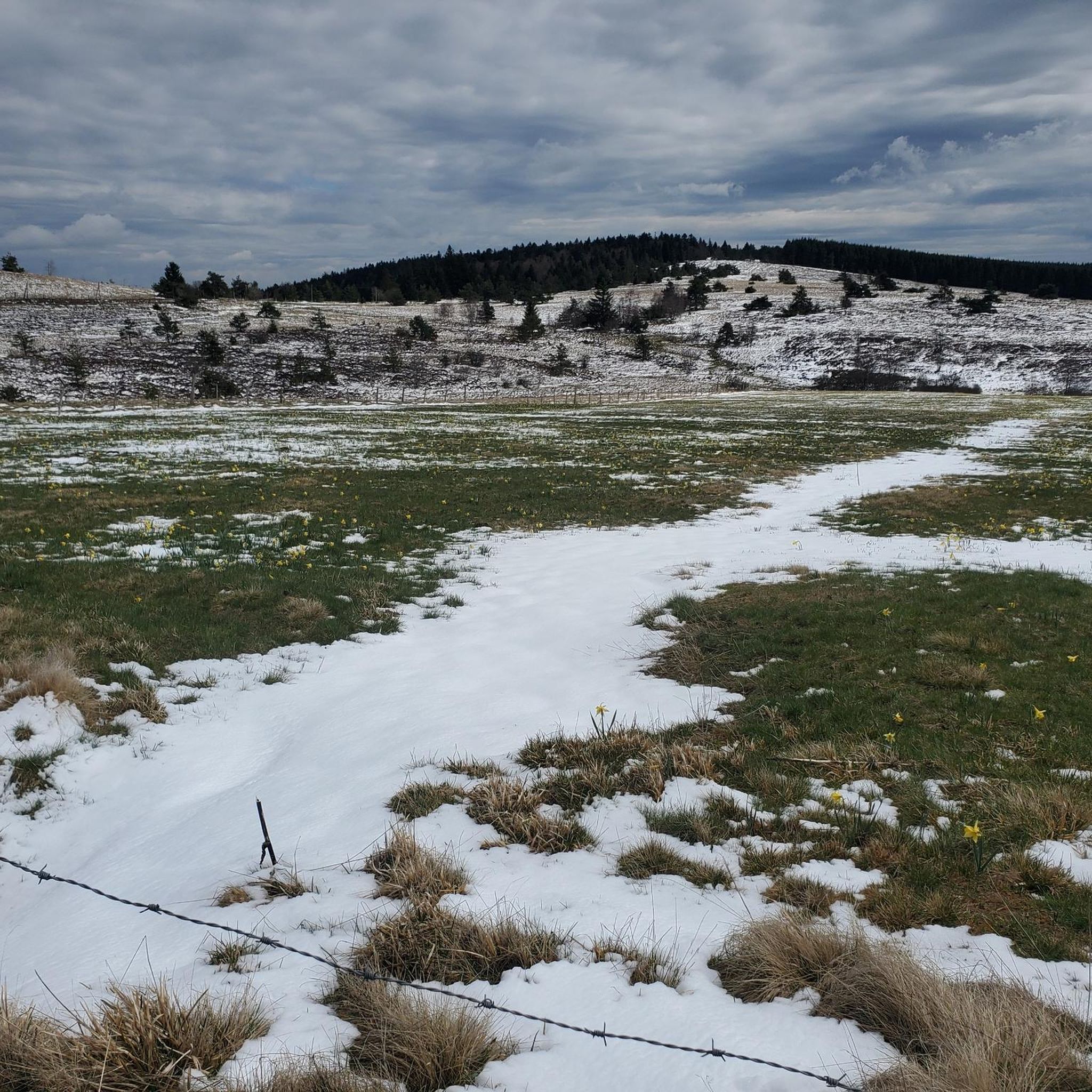
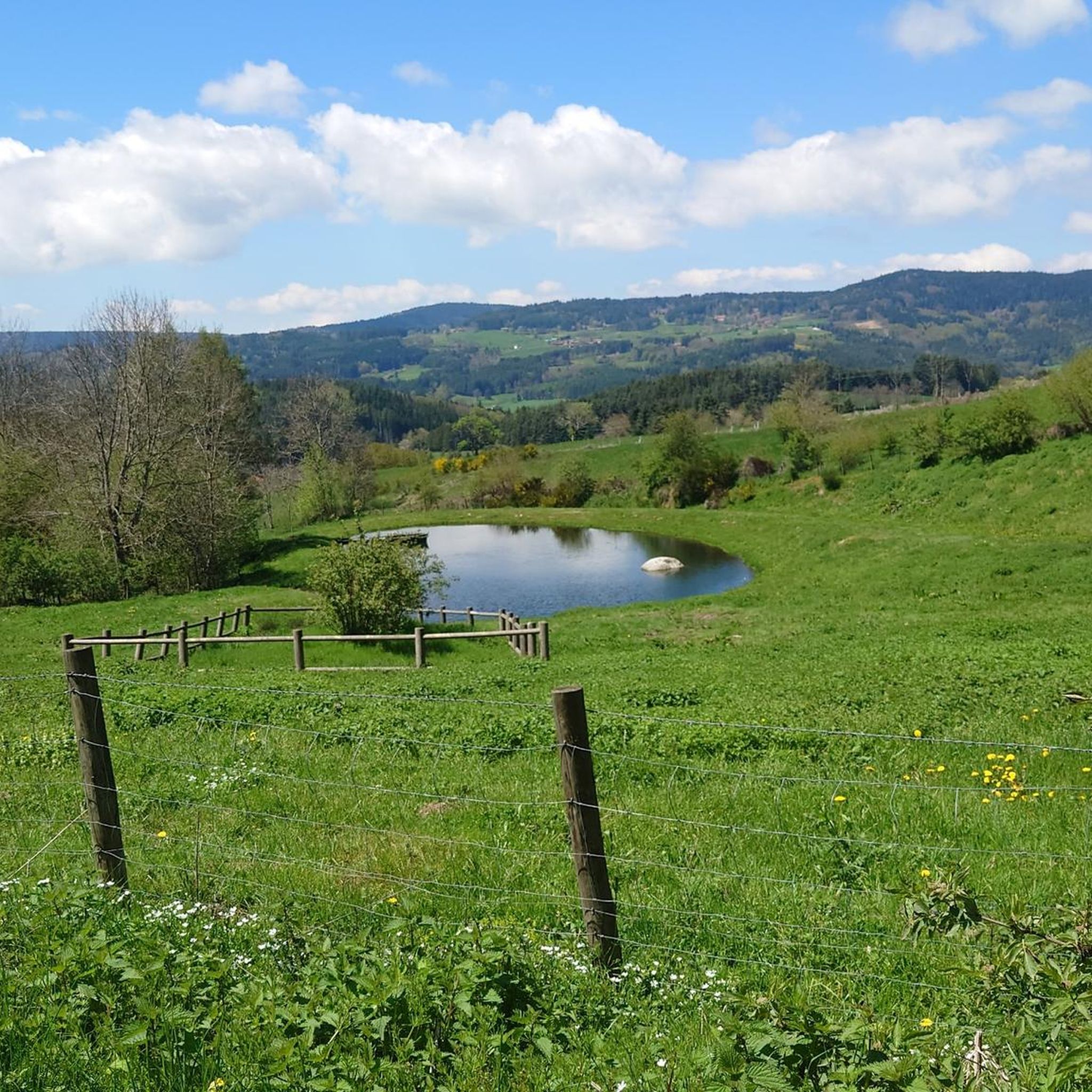
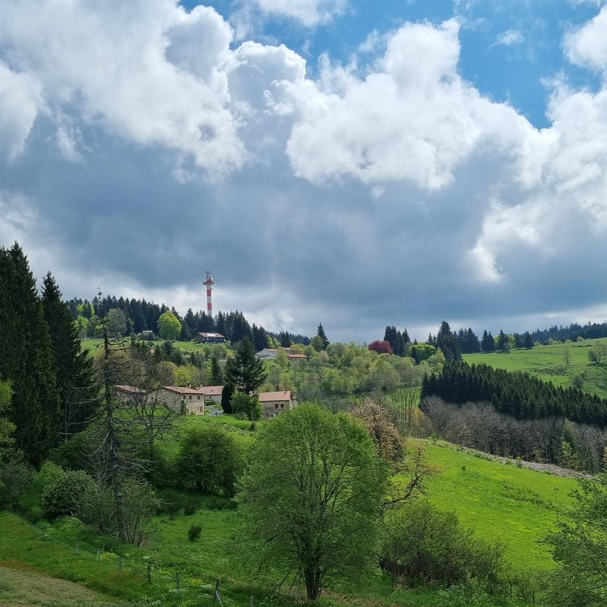
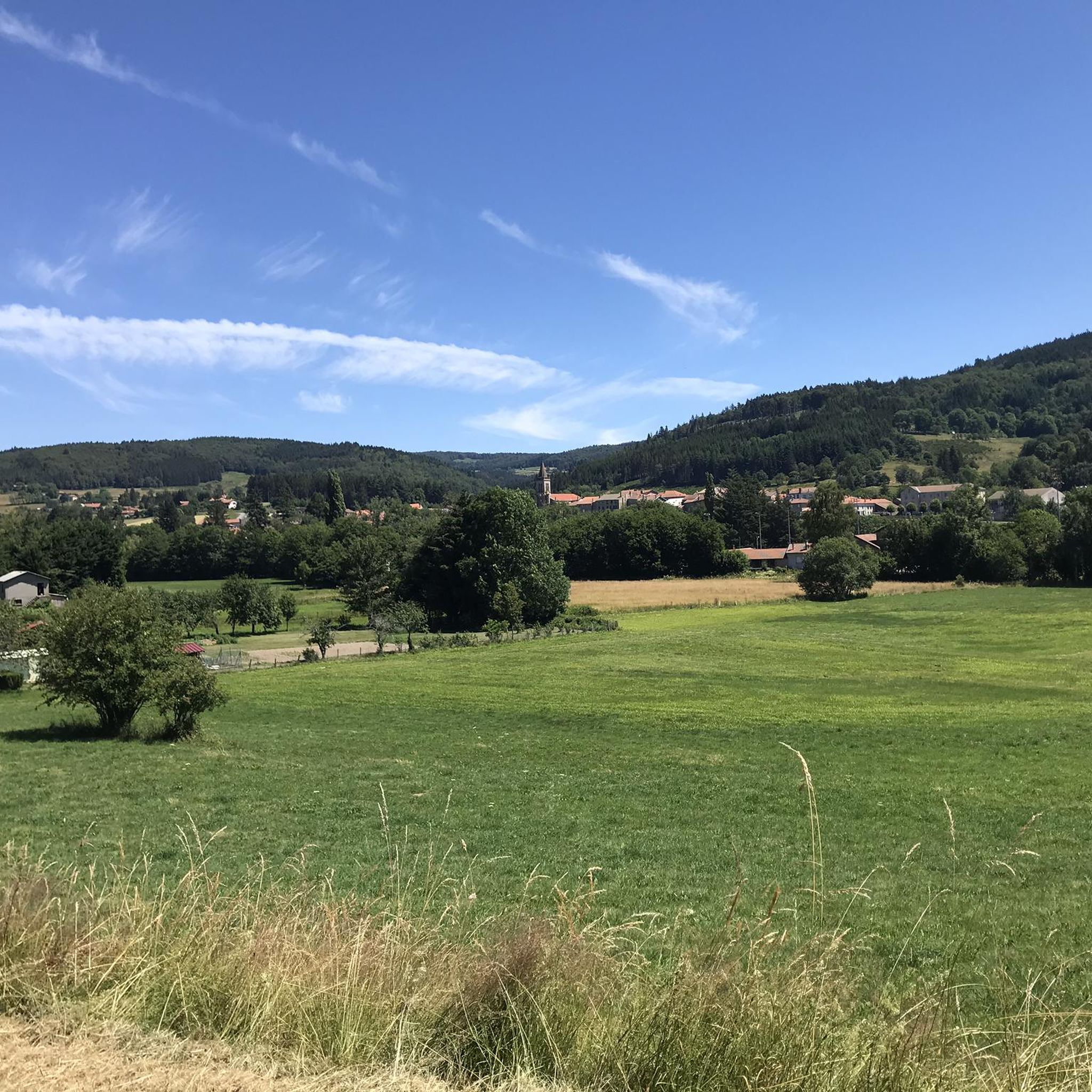
Tips from the Community

Reserved for users of ravine paths with stones.
0
0

The view is superb, the surrounding paths are great!
0
0

The Col des Pradeaux which I have climbed several times since my installation in Ambert. A must with the Col des Supeyres.
0
0

Montarcher, a small town in the heart of southern Haut-Forez, perched at 1162 meters, offers an exceptional panorama over the Velay and the Forez. Registered site, Montarcher is classified "Village of character" and has a remarkable heritage.
4
0

Located in the heart of the Forez mountains, the hamlet of Jasseries de la Fayolle is typical of the region. It is built parallel to the slope in order to protect against the winds.
0
0
Built in the late 1940s on the Stream of Hell, this dam rises to 1,196 meters next to the pass of the same name. This location offers an ideal setting for a walk or for fishing.
0
0
The Col des Pradeaux is located at an altitude of 1,195 meters. It connects the Ance valley and the Dore valley. An inn located at the pass allows you to take a short break before resuming your journey.
0
0

At Supeyres, continue south-west on the track then head south towards the Allebasses forest, leaving it on the left, a magnificent almost desert gravel path which allows you to join the road at the Allebasses pass and go to Les Pradeaux
0
0
Frequently Asked Questions
How many running routes are available around Saint-Romain?
There are over 40 dedicated running routes around Saint-Romain listed on komoot, offering a wide range of options for different skill levels and preferences.
What kind of terrain can I expect on jogging trails in Saint-Romain?
The running trails around Saint-Romain feature diverse terrain, including hillsides, stony paths, and forest trails. You'll encounter varied topography, with some routes offering significant elevation changes, while others provide more gentle slopes.
Are there any easy jogging routes suitable for beginners in Saint-Romain?
While the guide primarily lists moderate and difficult routes, some trails offer less strenuous sections. For a moderate option with manageable elevation, consider the Montarcher church – Montarcher loop from Montarcher, which covers 9.0 km with an elevation gain of over 185 meters.
What are some scenic viewpoints or natural features to see while running in Saint-Romain?
The region offers several points of interest. You can run near the historic settlement of Montarcher, or explore areas with expansive views. The Col des Supeyres is another notable natural feature nearby, offering picturesque landscapes.
Are there any long-distance running trails in the Saint-Romain area?
Yes, for those seeking a longer challenge, the Running loop from La Chapelle-en-Lafaye is a difficult 21.1 km path with significant elevation changes, climbing over 740 meters.
What do other runners enjoy most about the trails in Saint-Romain?
The komoot community rates the running trails around Saint-Romain highly, with an average score of 4.0 stars. Runners often praise the varied terrain, the natural beauty of the landscapes, and the challenge offered by routes with elevation changes.
Are there any circular running routes available in Saint-Romain?
Many of the routes in the area are designed as loops, allowing you to start and finish in the same location. Examples include the Montarcher church – Montarcher loop from Montarcher and the Jasseries de La Fayolle – Col des Pradeaux loop from Les Pradeaux.
Can I find running routes that pass by historical sites or settlements?
Absolutely. The region has a rich history, and some routes will take you through or near charming settlements. For instance, the Montarcher church – Montarcher loop from Montarcher passes by the historic village of Montarcher, which has a long history.
What is the best time of year for running in Saint-Romain?
The varied landscapes of Saint-Romain, with its hillsides and forest paths, can be enjoyed across multiple seasons. Spring and autumn generally offer pleasant temperatures and beautiful scenery, while summer provides longer daylight hours. Winter running is also possible, though conditions may vary depending on elevation and weather.
Are there any running routes that offer views of lakes or rivers?
The general region of Saint-Romain is known for its diverse natural features, including potential lakeside and forest trails. While specific routes in this guide don't explicitly mention large lakes, the varied topography suggests opportunities for scenic water views in the broader area.
Are there any challenging running routes with significant elevation gain?
Yes, for experienced runners looking for a challenge, the Running loop from La Chapelle-en-Lafaye is a difficult route with over 740 meters of elevation gain. Another demanding option is the Col des Pradeaux loop from Les Pradeaux, which includes over 247 meters of ascent.
Are the running trails around Saint-Romain suitable for families?
The suitability for families depends on the specific route and the age/ability of the children. While some routes are moderate, others involve significant elevation and distance. It's best to check the difficulty and length of individual routes, such as the 7.7 km Running loop from Saint-Anthème, to determine if they are appropriate for your family.
Most popular attractions around Saint-Romain

Get inspired with the komoot mobile app


Explore more
Browse the best Running Trails & Routes in other regions.
