The best walks and hikes around Saint-Sauveur-La-Sagne
4.4
(64)
314
hikers
61
hikes
Hiking around Saint-Sauveur-La-Sagne offers diverse landscapes within the Puy-de-Dôme, Auvergne-Rhône-Alpes region of France. The terrain features a mix of coniferous and beech forests, interspersed with pastures, and altitudes ranging from approximately 689m to 964m. Hikers can explore varied topographical features, including the Gorges of the Dore and several tranquil bodies of water like Plan d'eau de la Tour and Etang du Breuil. This natural setting provides a range of routes for outdoor enthusiasts.
Best hiking trails around Saint-Sauveur-La-Sagne
- The most…
Last updated: July 13, 2026
4.1
(8)
31
hikers
Moderate hike. Good fitness required. Easily-accessible paths. Suitable for all skill levels.
3.5
(2)
5
hikers
7.74km
02:18
230m
230m
Moderate hike. Good fitness required. Easily-accessible paths. Suitable for all skill levels.

Sign up for free
5.0
(1)
6
hikers
12.8km
03:39
300m
300m
Moderate hike. Good fitness required. Easily-accessible paths. Suitable for all skill levels.
2
hikers
6.02km
01:43
140m
140m
Easy hike. Great for any fitness level. Easily-accessible paths. Suitable for all skill levels.
3
hikers
6.05km
01:44
140m
140m
Easy hike. Great for any fitness level. Easily-accessible paths. Suitable for all skill levels.
Get access to more routes and recommendations from other explorers.
Sign up for free
Already have an account?
Our route recommendations are based on thousands of hikes, rides, and runs completed by other people on komoot.
Start today with a free account
Your next adventure awaits.
Login or Signup

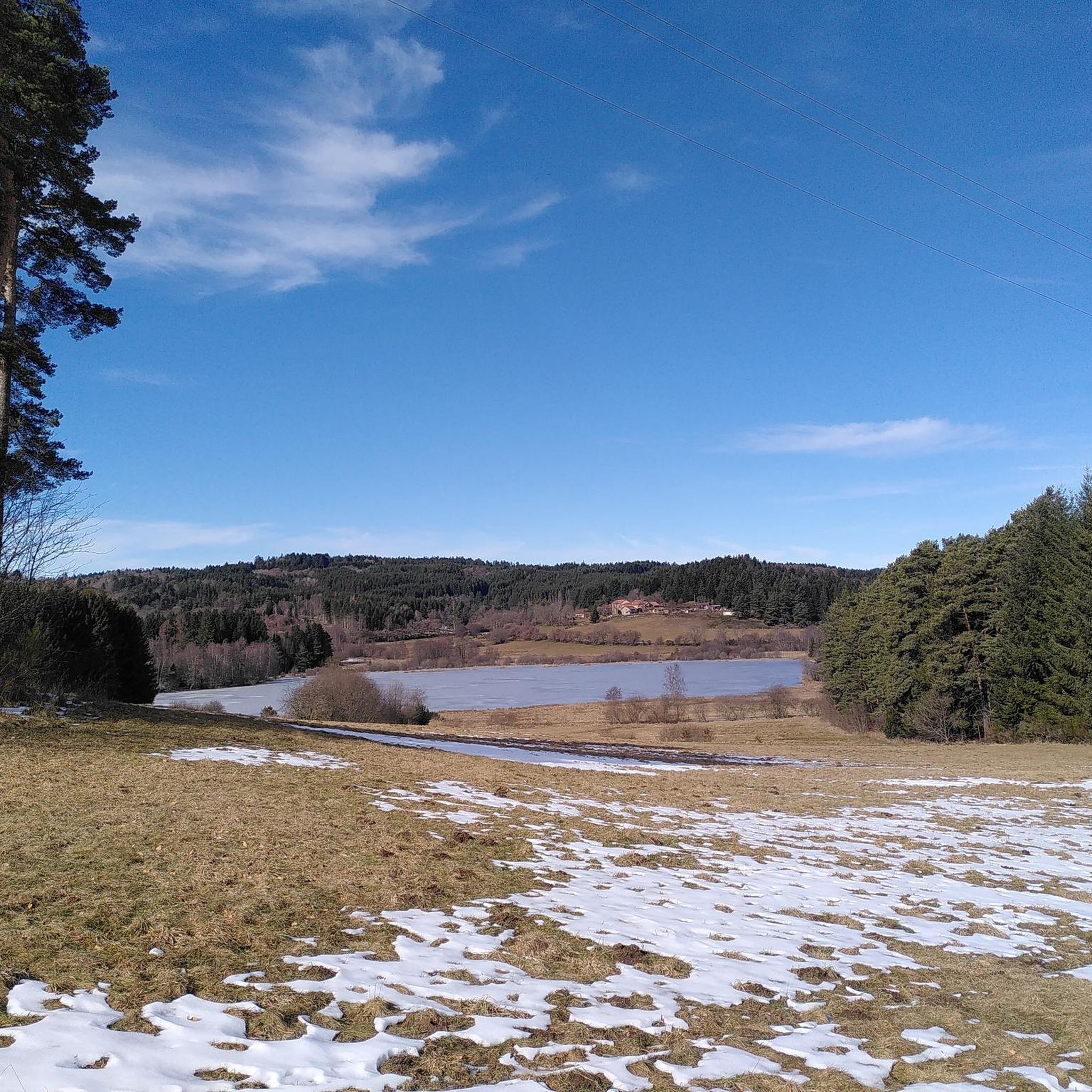

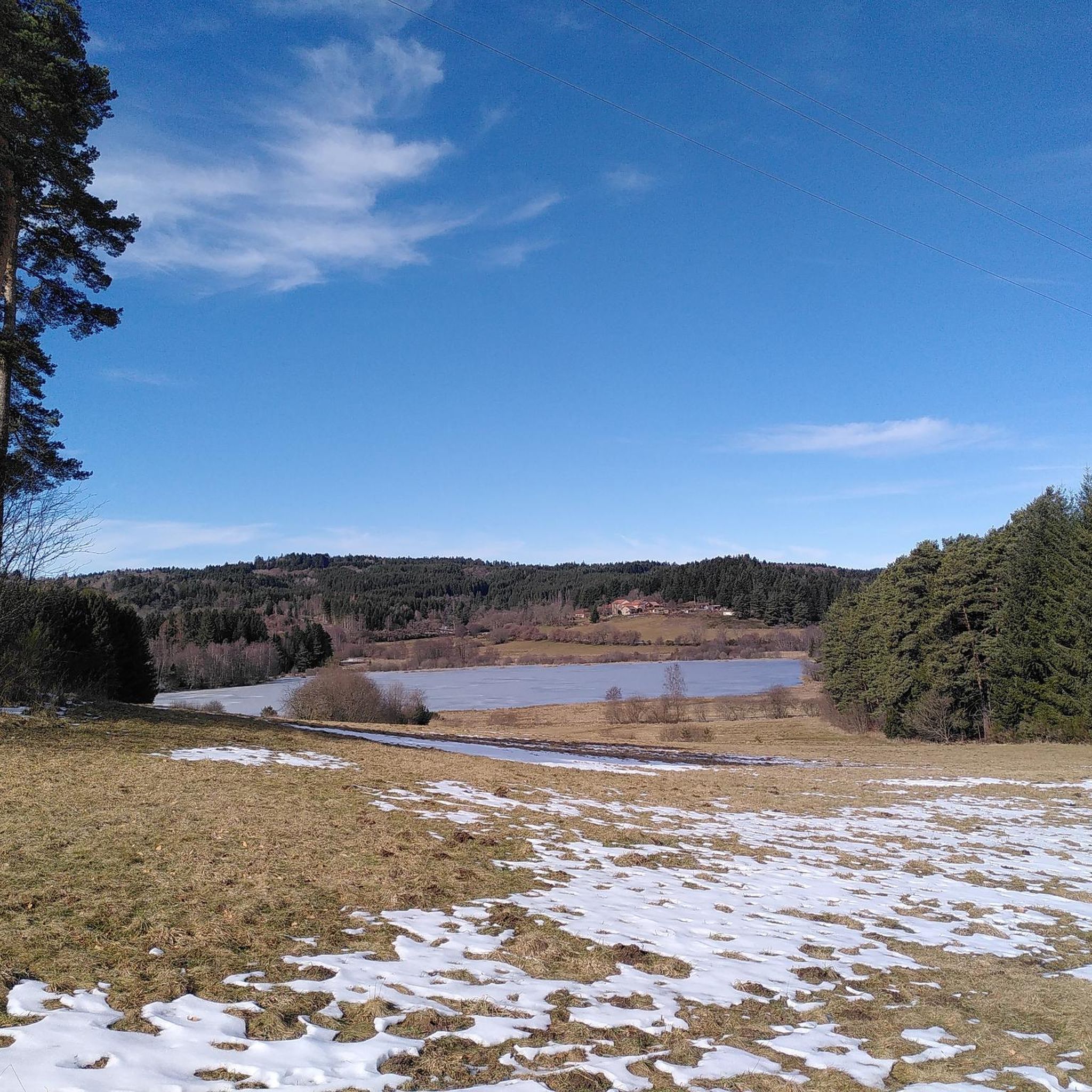
Tips from the Community

Issandolanges is an atypical place: the first habitats date back to the Merovingian era, until it became a real village, but the site was abandoned quite recently since its last inhabitant left it in 1924.
0
0
Frequently Asked Questions
How many hiking trails are available around Saint-Sauveur-La-Sagne?
There are over 60 hiking trails in the Saint-Sauveur-La-Sagne area, catering to various difficulty levels. You'll find a mix of easy, moderate, and a few more challenging routes to explore the diverse landscapes.
What natural features or viewpoints can I expect to see on hikes around Saint-Sauveur-La-Sagne?
The region offers a variety of natural attractions. You can discover tranquil bodies of water like Plan d'eau de la Tour and Etang du Breuil, or admire the ancient Chêne centenaire (century-old oak tree). Trails also lead to interesting rock formations such as Le Rocher des filles and La Roche Martine, and offer scenic vistas from Panorama de Vinfaud. The Gorges of the Dore and the Barrage du Chalas also provide impressive views.
Are there hiking trails suitable for beginners or those looking for an easy walk?
Yes, there are over 20 easy trails around Saint-Sauveur-La-Sagne. A good option for a relaxed walk is the Old mill loop from Saint-Alyre-d'Arlanc, which is just over 6 km long and features gentle elevation changes.
Are there any challenging hikes in the Saint-Sauveur-La-Sagne area?
While most trails are easy to moderate, there are a couple of more challenging routes available. These trails often involve greater distances and more significant elevation changes, exploring the varied topography between 689m and 964m altitude. They typically traverse dense forests and open pastures, offering a more strenuous experience.
What do other hikers enjoy most about the trails in Saint-Sauveur-La-Sagne?
The trails in Saint-Sauveur-La-Sagne are highly rated by the komoot community, with an average score of 4.3 stars from over 60 reviews. Hikers frequently praise the varied landscapes, including serene coniferous and beech forests, open pastures, and the picturesque Dore valley. The well-maintained paths and the tranquility of the Livradois-Forez Regional Nature Park are also often highlighted.
Are there any circular walks available in Saint-Sauveur-La-Sagne?
Yes, many routes in the area are circular, allowing you to start and end at the same point. An example is the Old mill loop from Saint-Sauveur-la-Sagne, which takes you through varied local landscapes. Another option is the Issandolanges Ruins – Bridge Over the Dolore River loop from Suc de Riols, offering views of the river and historical ruins.
Are the hiking trails in Saint-Sauveur-La-Sagne family-friendly?
Many trails are suitable for families, especially the easier and moderate routes that wind through forests and pastures. These paths offer a chance to explore nature without excessive difficulty. Consider routes that are shorter in duration and have less elevation gain for younger children.
Can I bring my dog on the hiking trails?
Yes, the trails in the Livradois-Forez Regional Nature Park, where Saint-Sauveur-La-Sagne is located, are generally dog-friendly. However, it's always recommended to keep your dog on a leash, especially in areas with livestock or protected wildlife, and to respect local regulations regarding pets.
What historical sites or points of interest can I visit near the trails?
Beyond the natural beauty, you can explore several historical points of interest. The Issandolanges Ruins are a notable historical site. Additionally, the nearby town of La Chaise-Dieu is home to the impressive La Chaise-Dieu Abbey Church, which is worth a visit.
What is the best time of year to go hiking in Saint-Sauveur-La-Sagne?
The region is beautiful throughout the warmer months, from spring to autumn, when the forests are lush and the pastures are vibrant. Summer offers pleasant walks through dense woodlands like 'La forêt de Cistrières et ses hameaux isolés'. While winter hiking is possible, be prepared for colder temperatures and potential snow, especially at higher altitudes.
Are there any trails that explore the industrial past of the region?
Yes, some trails in the area, such as 'La Haute-Dore', delve into the region's industrial heritage. These routes allow you to discover old mills and quarries, offering a glimpse into the historical activities that shaped the landscape alongside its natural beauty.
Where can I find information about specific hiking circuits in the area?
The Arlanc Tourist Office provides detailed guides for specific hiking circuits that traverse the commune. These resources can offer more in-depth information on local routes and points of interest.
Most popular routes around Saint-Sauveur-La-Sagne
Most popular attractions around Saint-Sauveur-La-Sagne

Get inspired with the komoot mobile app


Explore more
Browse the best Hikes in other regions.
