The best MTB trails around Pignols
4.3
(391)
1,460
riders
187
rides
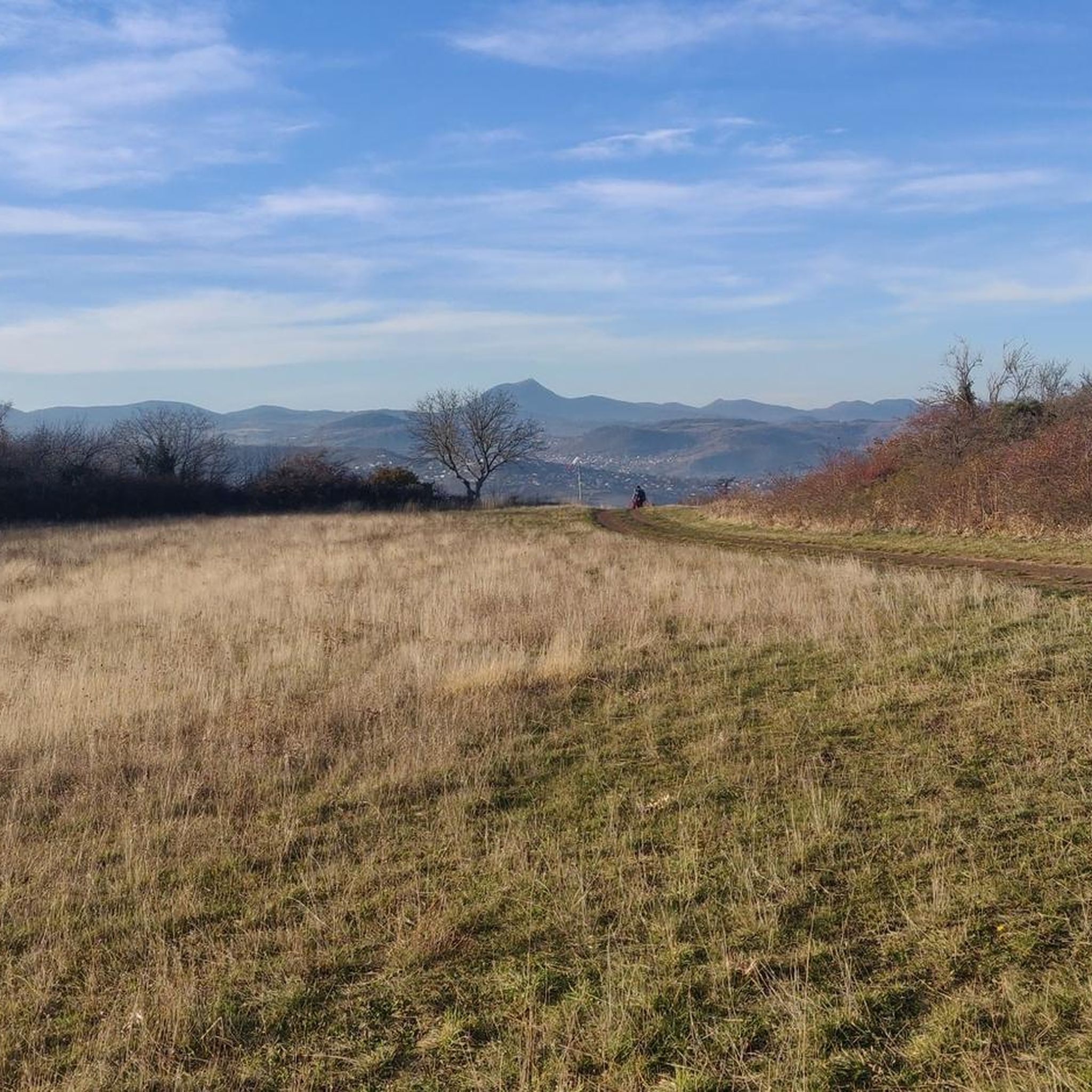
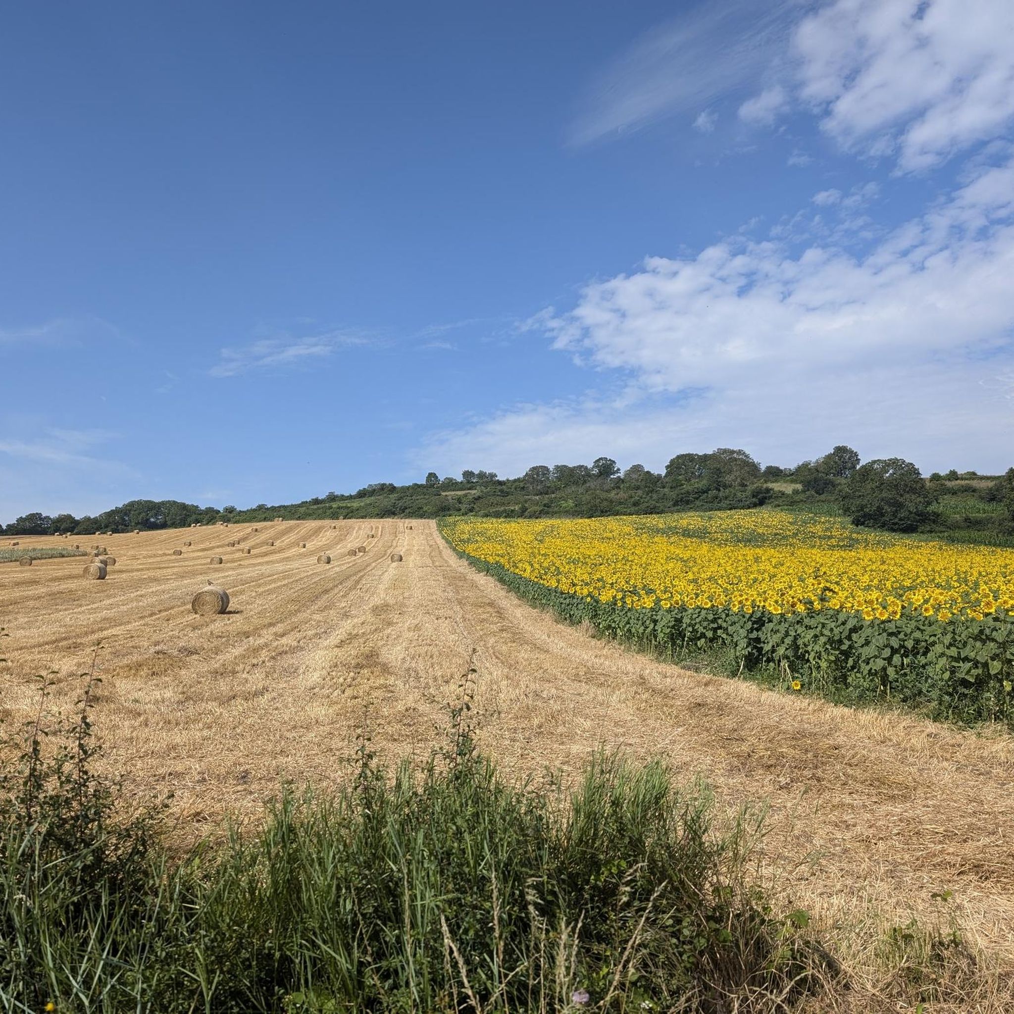
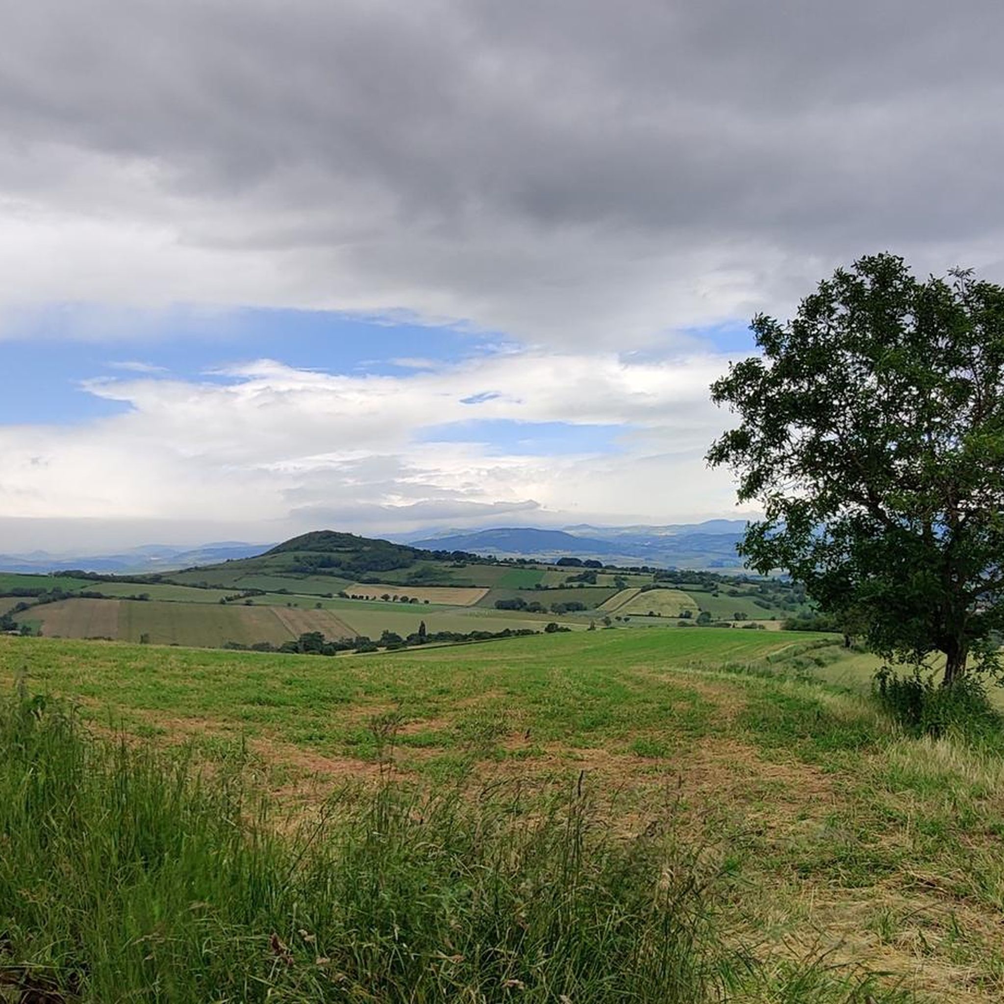
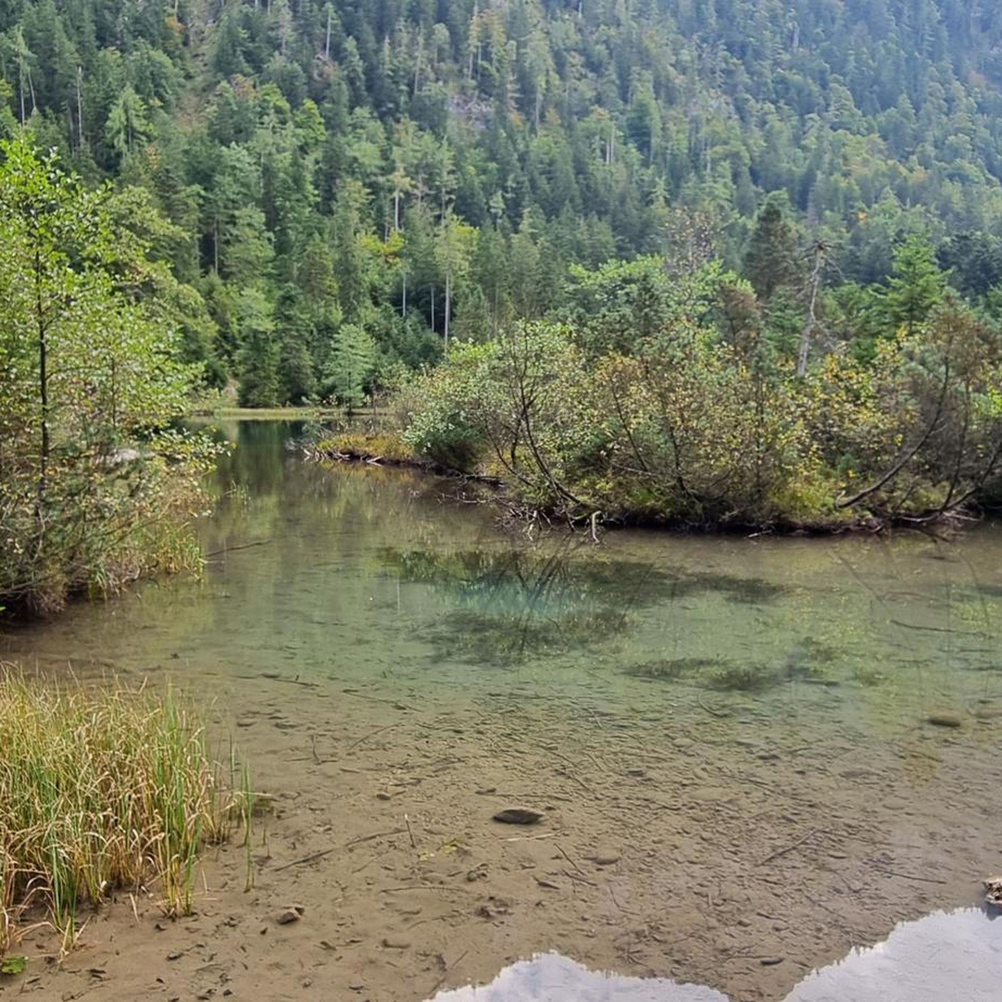
Mountain biking around Pignols offers diverse terrain within the Puy-de-Dôme department of Auvergne, France. The region is situated at the edge of the Forêt de la Comté and within the Livradois-Forez Regional Natural Park, providing a mix of woodlands and varied landscapes. Elevations range from approximately 450 to 781 meters, featuring a notable sandstone escarpment over 40 meters high that stretches for more than a kilometer. This area provides a natural setting for mountain biking, with routes that follow streams…
Last updated: July 2, 2026
3.5
(2)
29
riders
47.9km
04:49
1,200m
1,190m
Hard mountain bike ride. Very good fitness required. Suitable for all skill levels.
4.7
(6)
25
riders
45.2km
04:17
980m
990m
Hard mountain bike ride. Very good fitness required. Advanced riding skills necessary.

Sign up for free
5.0
(1)
9
riders
20.6km
01:49
390m
390m
Moderate mountain bike ride. Good fitness required. Suitable for all skill levels.
1
riders
22.1km
01:49
360m
360m
Moderate mountain bike ride. Good fitness required. Suitable for all skill levels.
3.0
(2)
6
riders
Moderate mountain bike ride. Good fitness required. Suitable for all skill levels.
Get access to more routes and recommendations from other explorers.
Sign up for free
Already have an account?
Our route recommendations are based on thousands of hikes, rides, and runs completed by other people on komoot.
Start today with a free account
Your next adventure awaits.
Login or Signup

Tips from the Community

A lovely walk along the Allier river, and a pretty crossing of the county woods.
0
0

Be careful in Montpeyroux when returning to the route, the path is steep and rough at the start with a tree across it.
0
0

Remains of days gone by, very interesting
0
0

Small "pass" but very pleasant to drive and offers beautiful views
0
0

This pass culminates at an altitude of 654 meters. Of medium difficulty, it offers you a breathtaking 360-degree view at its summit.
2
0

To do 🚴♀️🚴♂️ thank you for the information on the castle
0
0

Very beautiful panorama on each side of the pass
0
1
Frequently Asked Questions
What kind of terrain can I expect on mountain bike trails around Pignols?
The region offers diverse terrain, from the dense woodlands of the Forêt de la Comté to varied altitudes ranging from 450 to 781 meters. You'll encounter a notable sandstone escarpment over 40 meters high and routes that follow streams, providing a mix of natural surfaces and scenic views.
Are there mountain bike trails suitable for beginners in Pignols?
Yes, Pignols offers a variety of trails, including options suitable for beginners. Out of nearly 190 routes, 18 are classified as easy, providing a gentle introduction to mountain biking in the area. These trails allow you to enjoy the natural setting without overly challenging technical sections.
What are some moderate mountain bike trails near Pignols?
For those seeking a moderate challenge, Pignols has many options. A popular choice is the Vic-le-Comte – Viewpoint loop from Vic-le-Comte, a 20.6 km route offering scenic viewpoints. Another great moderate trail is the La Sauvetat – Corent Fountain loop from Vic-le-Comte, which is 22.1 km long and leads through picturesque areas.
Are there any difficult mountain bike trails for experienced riders?
Yes, experienced mountain bikers will find challenging routes around Pignols. There are 27 difficult trails available. One such route is the Path Along the Puy d'Ecouillat – The Singing Stones Path loop from Saint-Maurice, a demanding 47.5 km trail with significant elevation gain through varied terrain.
What kind of natural features or landmarks can I see along the mountain bike trails?
The trails often pass through the Forêt de la Comté and offer views of the Livradois-Forez Regional Natural Park. You might also encounter the impressive sandstone escarpment overlooking the Pignols stream. For specific points of interest, consider routes that pass by highlights like the View of Busseol castle or the View of the Château de Busséol.
Are there any circular mountain bike routes in the Pignols area?
Yes, many mountain bike routes around Pignols are designed as loops, allowing you to start and finish in the same location. Examples include the Vic-le-Comte – Viewpoint loop from Vic-le-Comte and the View of Busseol castle – View of the Château de Busséol loop from Saint-Maurice, which is a 13 km moderate trail.
What do other mountain bikers enjoy most about the trails in Pignols?
The mountain bike trails around Pignols are highly rated by the komoot community, with an average score of 4.3 stars from over 500 reviews. Users often praise the total immersion in nature, breathtaking scenery, and the feeling of freedom offered by the diverse network of trails within the Livradois-Forez Regional Natural Park.
Are there any castles or historical sites accessible by mountain bike around Pignols?
Yes, the region has several historical points of interest. Some mountain bike routes offer views of or pass near castles. For example, the View of Busseol castle – View of the Château de Busséol loop from Saint-Maurice provides glimpses of local heritage. You can also find highlights such as Château de Montmorin and Château de Lachaux in the wider area.
Is there parking available at the trailheads in Pignols?
While specific parking details for every trailhead are not provided, Pignols is part of the larger 'Base VTT des Volcans' network, which typically offers marked trails accessible from various starting points, including nearby Vic-le-Comte. It's advisable to check individual route descriptions on komoot for precise parking information at your chosen starting point.
What is the best time of year to go mountain biking in Pignols?
The region's diverse landscape is enjoyable across multiple seasons. While specific seasonal advice isn't detailed, the 'avant-goût de la Toscane auvergnate' description suggests picturesque rolling landscapes that would be particularly pleasant in spring and autumn. Summer offers longer daylight hours, but always check local weather conditions before heading out.
Can I find cafes or accommodation near the mountain bike trails in Pignols?
Pignols itself is a charming village, and the wider area, including nearby towns like Vic-le-Comte, offers amenities. While specific cafes or accommodation directly on trails are not listed, you can typically find options in the villages and towns surrounding the Livradois-Forez Regional Natural Park to refuel or stay overnight.
Are there any routes that offer views of the Allier river?
Yes, some routes in the area will bring you close to the Allier river. For instance, the View of Busseol castle – Pathway by the Allier River loop from Saint-Julien-de-Coppel is a moderate 26.3 km trail that includes sections along the river, offering scenic riverside views.
Most popular attractions around Pignols

Get inspired with the komoot mobile app


Explore more
Browse the best MTB trails in other regions.
