The best walks and hikes around Saint-Victor-Montvianeix
4.5
(236)
1,516
hikers
184
hikes
Hiking around Saint-Victor-Montvianeix offers access to a landscape characterized by rolling hills, dense woodlands, and several reservoirs. The region features varied terrain with moderate elevation changes, providing diverse conditions for outdoor activities. Trails often traverse forested areas and open countryside, with water bodies forming prominent natural features.
Best hiking trails around Saint-Victor-Montvianeix
- The most popular hiking route is Puy de Montoncel – Reservoir loop from Les Étivaux, an 8.4 miles (13.5 km) trail that takes 4 hours 19 minutes…
Last updated: July 2, 2026
4.8
(6)
32
hikers
13.5km
04:19
540m
540m
Moderate hike. Good fitness required. Mostly accessible paths. Sure-footedness required.
4.3
(3)
45
hikers
6.98km
01:59
160m
160m
Easy hike. Great for any fitness level. Easily-accessible paths. Suitable for all skill levels.

Sign up for free
4.3
(4)
48
hikers
9.75km
02:50
260m
260m
Moderate hike. Good fitness required. Easily-accessible paths. Suitable for all skill levels.
5.0
(1)
16
hikers
10.9km
03:07
260m
260m
Moderate hike. Good fitness required. Easily-accessible paths. Suitable for all skill levels.
13
hikers
4.59km
01:17
90m
90m
Easy hike. Great for any fitness level. Easily-accessible paths. Suitable for all skill levels.
Get access to more routes and recommendations from other explorers.
Sign up for free
Already have an account?
Our route recommendations are based on thousands of hikes, rides, and runs completed by other people on komoot.
Start today with a free account
Your next adventure awaits.
Login or Signup


Tips from the Community

great ride but remember to charge the batteries before leaving.....
0
0

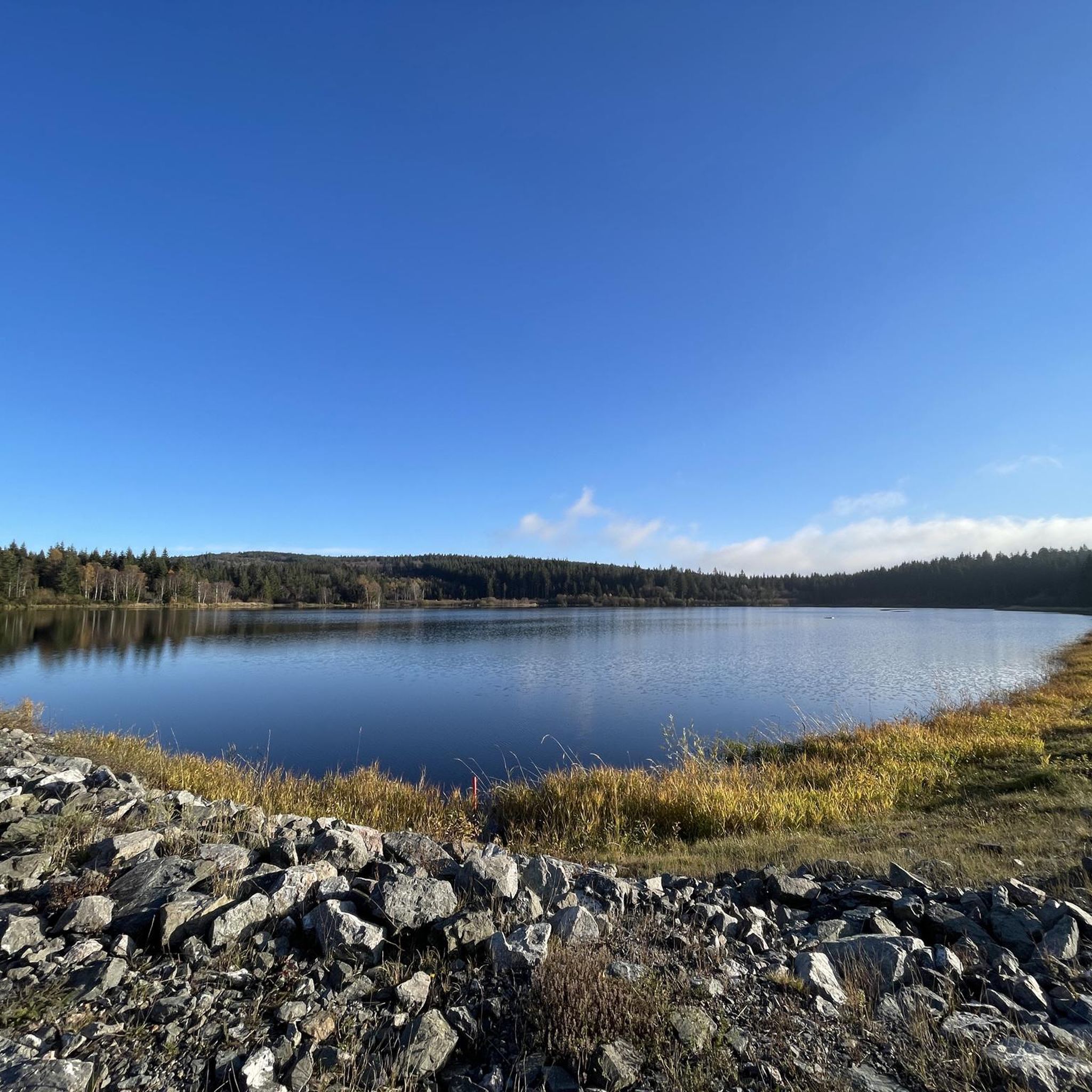
Approximately 19 meters high, this dam holds back water from the Credogne and Etivaux streams. It also provides a peaceful place to relax.
0
0

The Puy de Montoncel is an extinct volcano, culminating at an altitude of 1,287 meters. In a notebook, I wrote about it: "Its slopes are covered with a majestic thorn forest, with an archaic, sometimes primal beauty. The rare paths that cut through the woods wind along the slopes, in the shade of the green giants. These paths are the veins of the forest. They are tunnels of abundant oxygen. From meadows to groves, I feel as if I'm floating on an ocean of nature. At the summit of the puy, I find a plateau devoid of trees as if blown by the wind, and topped with a thick thatch. A huge iron cross rises into the sky, looking mischievously at the wind turbines on the neighboring ridges, which come to life with the sound of the air." I sit down on a wide carpet of green grass, a veritable velvet to rest my body after this first, sweaty climb. I light a pipe and cheerfully observe the Auvergne volcanoes that swell the horizon. Their supple, rounded shapes give the impression of observing distant hills. Puy-de-Dôme, Monts Dore, Puy-de-Sancy, I amuse myself by guessing the roofs I was clambering over the previous year.
0
0

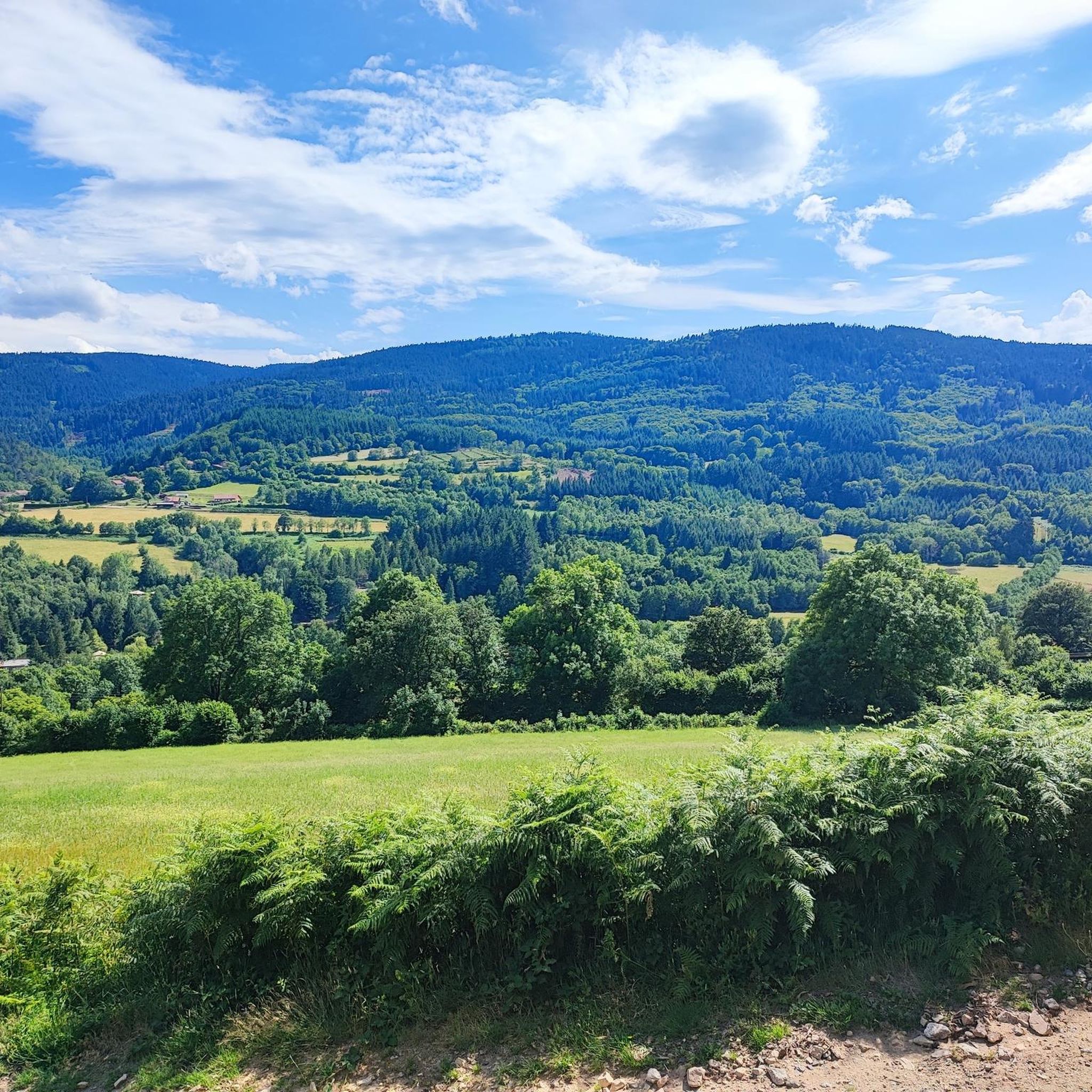
Wonderful view. Definitely worth it
0
0

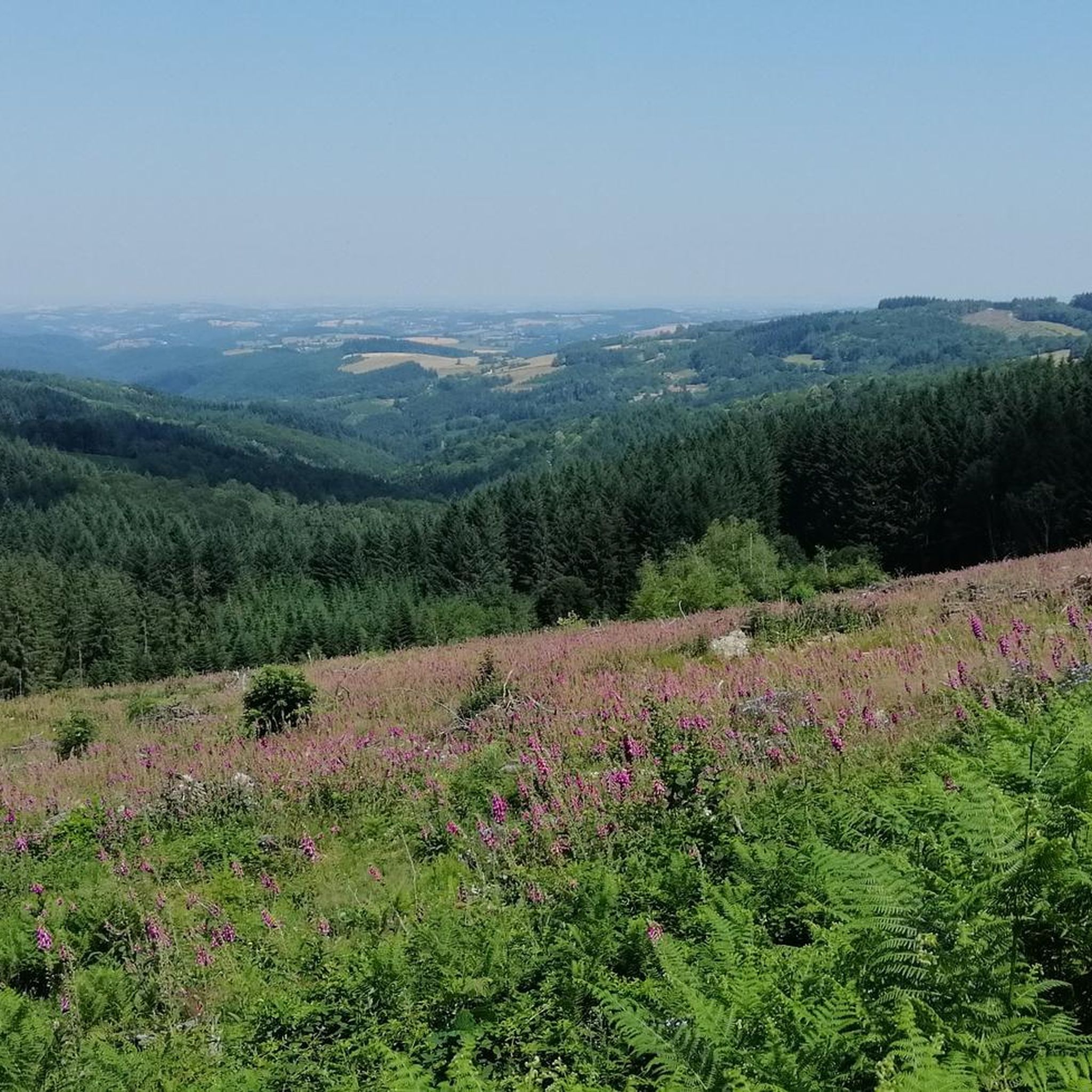
Nice view of the Livradois-Forez and the Prades lake in Saint-Rémy-sur-Durolle.
0
0
The Calvary (Christian monument comprising between one and three crosses) of Saint-Rémy-sur-Durolle also offers a magnificent view.
0
0
The Puy de Montoncel is an extinct volcano, peaking at 1,287 meters above sea level. In a notebook I wrote about him: “Its slopes are covered with a majestic thorn forest, with an archaic, sometimes primal beauty. The rare paths that cut through the woods wind along the slopes, in the shade of the green giants. These paths are the veins of the forest. They are the tunnels of abundant oxygen. From meadows to groves, I have the impression of floating on an ocean of nature. At the top of the puy, I find an empty plateau of trees as if blown by the wind, and covered with thick thatch. A huge iron cross rises in the sky, looks mischievously at the wind turbines which on the neighboring ridges come alive to the sound of the air. I sit on a large carpet of green grass, real velvet to rest my body from this first and sweaty ascent. I light a pipe and happily observe the volcanoes of Auvergne which stir up the horizon. Their supple and rounded shapes give the impression of observing distant hills. Puy-de-Dôme, Monts Dore, Puy-de-Sancy, I have fun guessing the roofs on which I trudged the previous year. »
2
0
Frequently Asked Questions
How many hiking trails are available around Saint-Victor-Montvianeix?
There are over 180 hiking routes in the Saint-Victor-Montvianeix region, catering to various skill levels. This includes 56 easy routes, 104 moderate routes, and 21 difficult trails for more experienced hikers.
Are there easy or family-friendly hiking trails in Saint-Victor-Montvianeix?
Yes, Saint-Victor-Montvianeix offers several easy and family-friendly options. A great choice is the Reservoir – Muratte Reservoir loop from Le Clos, an easy 4.3-mile (7.0 km) path with gentle gradients around local reservoirs, perfect for a shorter outing with children.
What are the best seasons for hiking in Saint-Victor-Montvianeix?
The region's rolling hills, woodlands, and reservoirs make it ideal for hiking from spring through autumn. Spring brings lush greenery, summer offers pleasant conditions around the water, and autumn provides beautiful foliage. Winter hiking is possible but requires appropriate gear for potentially colder and wetter conditions.
Are dogs allowed on the hiking trails in Saint-Victor-Montvianeix?
Generally, dogs are welcome on most hiking trails in the Saint-Victor-Montvianeix area. However, it's always recommended to keep them on a leash, especially near livestock or in nature reserve areas, and to clean up after them. Always check specific trail regulations if posted.
What kind of natural attractions can I see along the trails?
The trails often lead to beautiful natural attractions. You can explore the summit of Puy de Montoncel, discover the unique Saint-Vincent Rock, or visit the scenic Creux de Saillant Waterfall. The Gorges of the Credogne also offer impressive natural scenery.
Are there any circular hiking routes in the area?
Yes, many routes in Saint-Victor-Montvianeix are circular, allowing you to start and end at the same point. An example is the Reservoir loop from Pitelet, a 6.5-mile (10.5 km) trail that takes you through varied terrain around the reservoir.
What historical sites or landmarks can be found near the hiking trails?
Beyond natural beauty, the region also features historical points of interest. You might encounter the impressive Château de Montgilbert or the industrial heritage at Usine du Creux, Vallée des Usines, Thiers, offering a glimpse into the area's past.
What do other hikers say about the trails in Saint-Victor-Montvianeix?
The hiking trails in Saint-Victor-Montvianeix are highly regarded by the komoot community, with an average rating of 4.4 stars from over 200 reviews. Hikers often praise the tranquil woodlands, the beauty of the reservoirs, and the well-maintained paths that offer diverse experiences.
Are there any less crowded hiking options for a peaceful experience?
While popular routes can see more visitors, the extensive network of trails means you can often find quieter paths. Exploring some of the less-trafficked routes, especially during off-peak hours or weekdays, can offer a more serene hiking experience through the region's dense woodlands and open countryside.
What is the longest moderate hike available?
One of the longer moderate hikes is the Puy de Montoncel – Reservoir loop from Les Étivaux. This trail spans 8.4 miles (13.5 km) and includes significant elevation gain towards Puy de Montoncel, typically taking around 4 hours and 19 minutes to complete.
Are there any hikes with scenic viewpoints?
Yes, the region offers several trails with rewarding views. The View of Lake Prades loop from Palladuc provides beautiful vistas over the lake. Additionally, the Panorama of Rez de Sol is a dedicated viewpoint offering expansive scenery.
What should I wear for autumn hikes in Saint-Victor-Montvianeix?
For autumn hikes, layering is key due to variable temperatures. We recommend wearing moisture-wicking base layers, an insulating mid-layer, and a waterproof and windproof outer shell. Sturdy hiking boots are essential, and consider bringing a hat and gloves for cooler mornings or evenings.
Most popular routes around Saint-Victor-Montvianeix
Most popular attractions around Saint-Victor-Montvianeix

Get inspired with the komoot mobile app


Explore more
Browse the best Hikes in other regions.
