
The best running trails around Hochstett
4.3
(88)
6,025
runners
453
runs
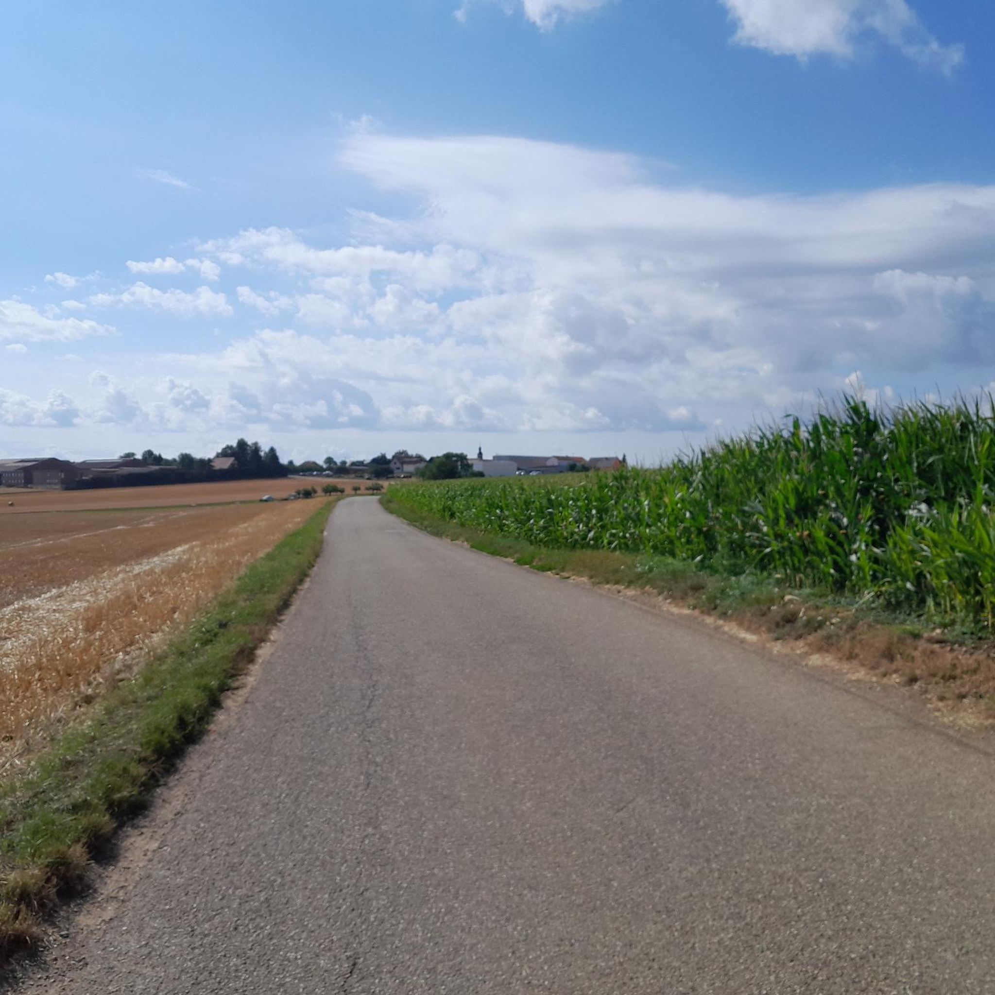
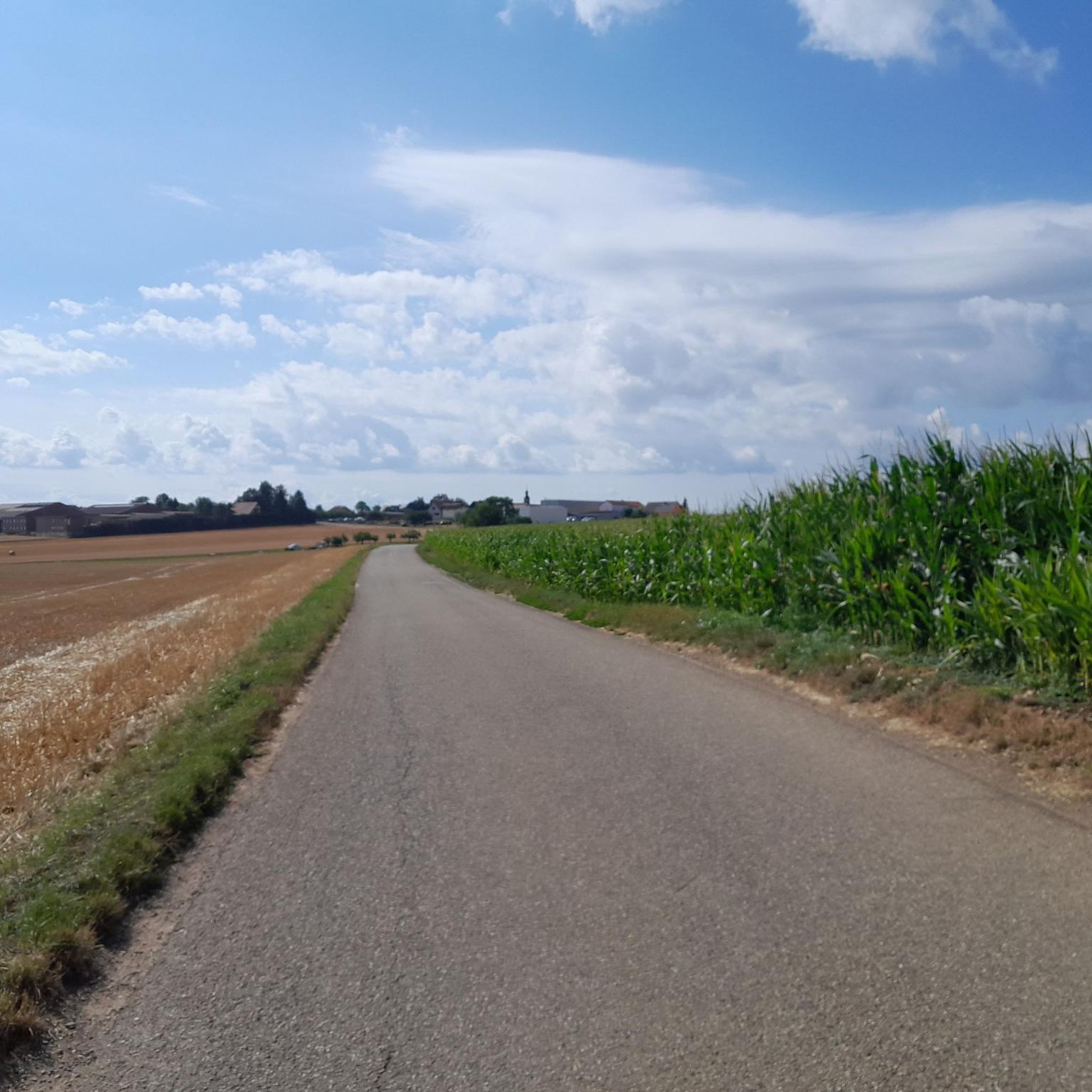
Jogging around Hochstett offers a network of routes characterized by gentle inclines and varied terrain, suitable for different fitness levels. The region features open landscapes and paths connecting local villages, providing accessible running experiences. With minimal elevation changes, the routes are generally well-suited for consistent running.
Best jogging routes around Hochstett
- The most popular jogging route is Running loop from Wahlenheim, a 4.2 miles (6.7 km) trail that takes 43 minutes to complete. This moderate route offers a scenic…
Last updated: October 9, 2026
3.0
(1)
13
runners
6.70km
00:42
50m
50m
Moderate run. Good fitness required. Mostly paved surfaces. Suitable for all skill levels.
7
runners
9.39km
00:59
60m
60m
Moderate run. Good fitness required. Mostly paved surfaces. Suitable for all skill levels.

7
runners
7.06km
00:47
70m
70m
Moderate run. Good fitness required. Mostly paved surfaces. Suitable for all skill levels.
5
runners
11.0km
01:09
70m
70m
Moderate run. Good fitness required. Mostly paved surfaces. Suitable for all skill levels.
4
runners
5.45km
00:36
40m
40m
Moderate run. Good fitness required. Mostly paved surfaces. Suitable for all skill levels.
Get access to more routes and recommendations from other explorers.
Already have an account?
Our route recommendations are based on thousands of hikes, rides, and runs completed by other people on komoot.
Start today with a free account
Your next adventure awaits.
Frequently Asked Questions
How many running routes are available in Hochstett?
Hochstett offers a comprehensive network of over 400 running routes. These include options for various fitness levels, with 32 easy routes, over 300 moderate trails, and nearly 60 more challenging paths.
What do other runners enjoy about the trails in Hochstett?
The running trails in Hochstett are highly regarded by the komoot community, boasting an average rating of 4.3 stars from over 60 reviews. Runners frequently praise the region's varied terrain, gentle inclines, and the pleasant paths connecting local villages.
Are there easy running routes suitable for beginners in Hochstett?
Yes, Hochstett has 32 easy running routes perfect for beginners or those looking for a relaxed jog. These trails feature minimal elevation changes and are generally well-suited for consistent running.
Can I find longer running trails for endurance training around Hochstett?
Absolutely. For longer distances, consider routes like the Mittelberg loop from Hochstett, which covers over 11 km. There are nearly 60 difficult routes and over 300 moderate routes that offer extended running experiences through the surrounding countryside.
Are there circular running routes in Hochstett?
Many of the running paths in Hochstett are designed as circular routes, allowing you to start and finish in the same location. Examples include the popular Running loop from Wahlenheim or the Running loop from Berstheim.
Are the running trails in Hochstett suitable for families?
Given the gentle inclines and varied, yet accessible, terrain, many of Hochstett's running routes are suitable for families. The 32 easy routes are particularly good options for a family jog or walk.
Are dogs allowed on the running trails around Hochstett?
Generally, dogs are welcome on most outdoor trails in the Hochstett region. However, it's always recommended to keep your dog on a leash, especially near agricultural areas or wildlife, and to check for any specific local regulations on individual routes.
Where can I park when visiting the running routes in Hochstett?
Parking is typically available in or near the villages where many routes begin, such as Hochstett, Wahlenheim, Berstheim, or Wittersheim. Look for designated public parking areas or roadside parking that respects local regulations.
Is it possible to reach the running routes in Hochstett by public transport?
While Hochstett itself is a smaller village, the nearby Haguenau station serves as a regional transport hub. From there, local bus services or a short taxi ride might connect you to the starting points of various running trails.
What kind of scenery can I expect on the running trails in Hochstett?
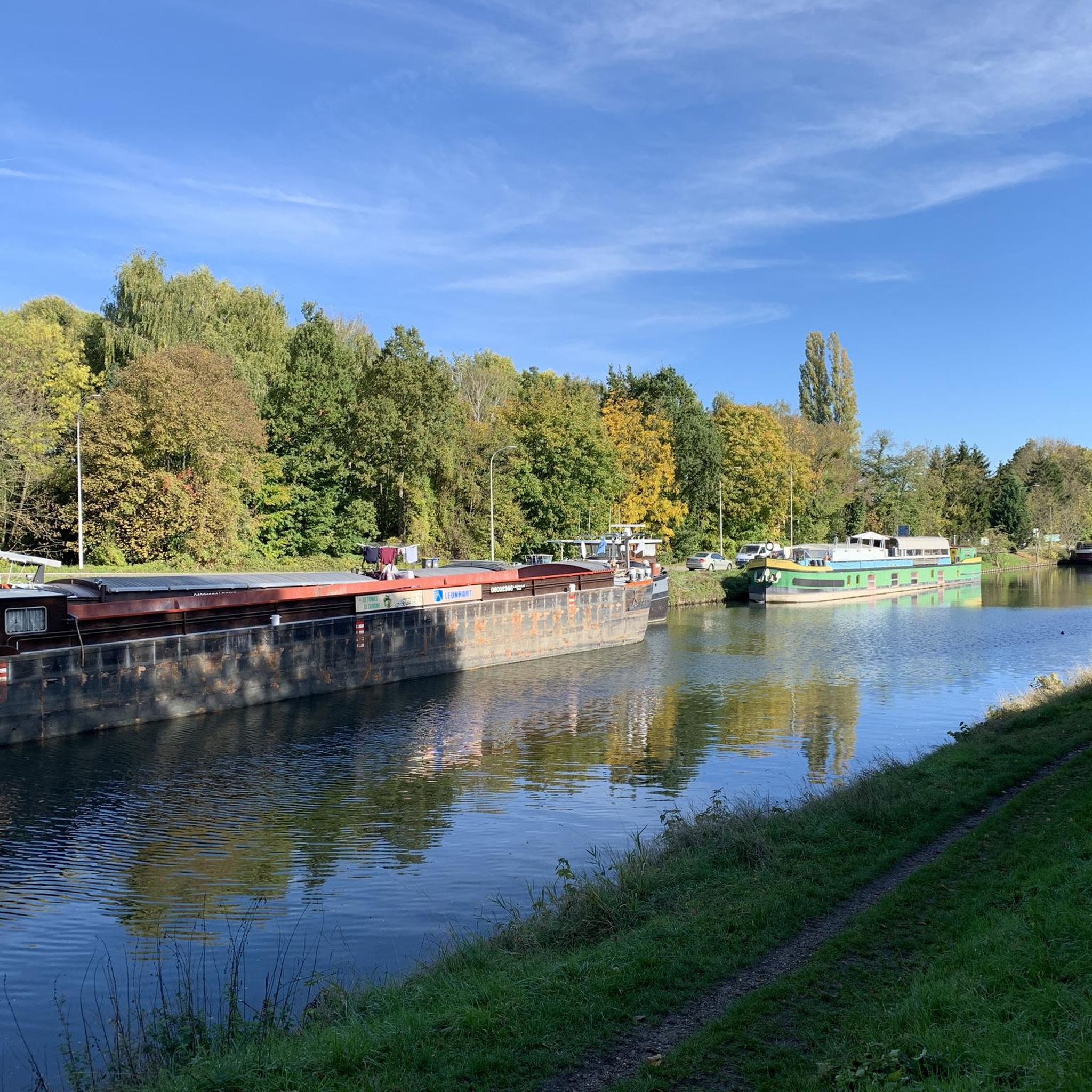
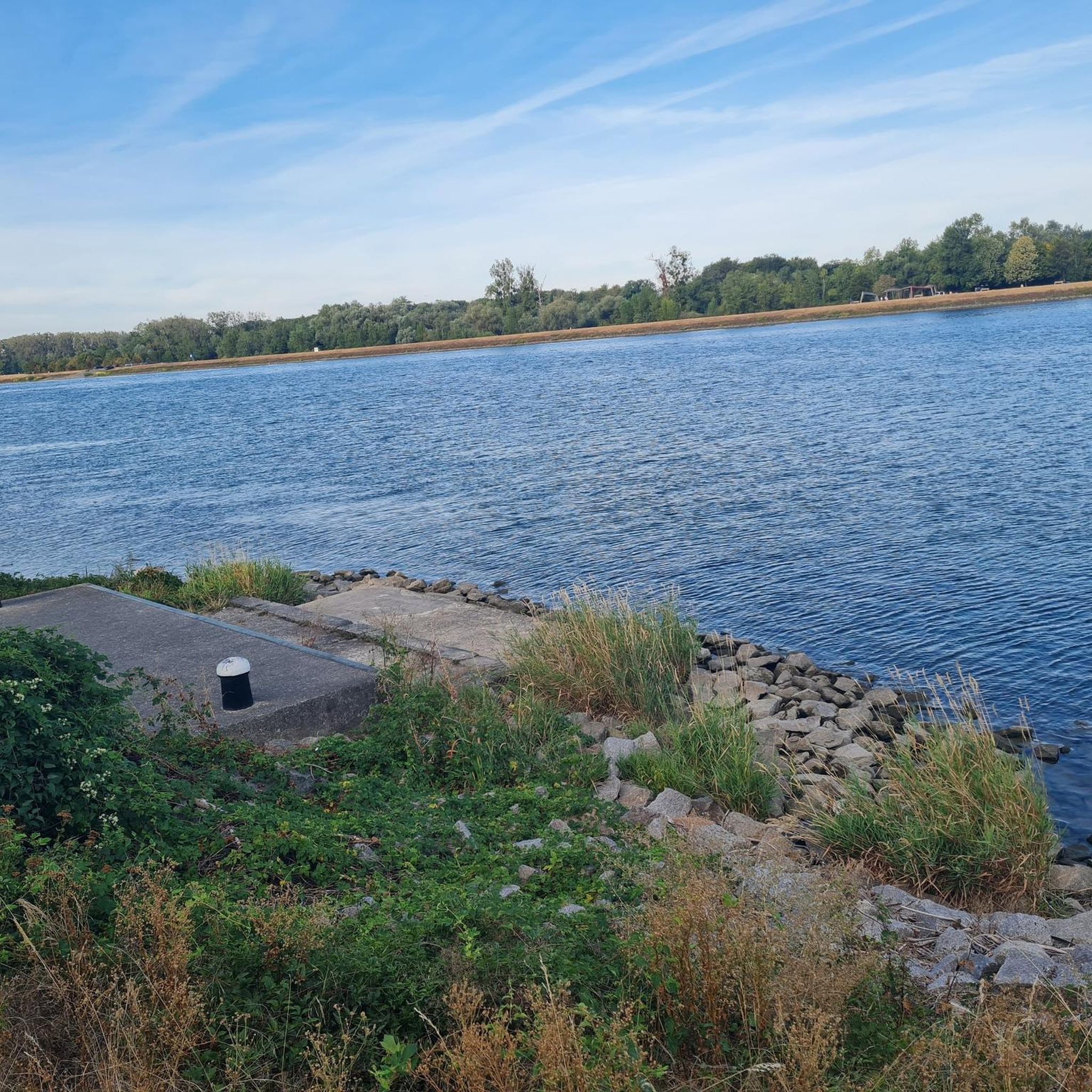
Runners in Hochstett can expect to enjoy open landscapes, often featuring views of fields and forests. The routes frequently connect local villages, offering a mix of natural beauty and glimpses of rural life.
Are there any interesting landmarks or attractions near the running routes in Hochstett?
Yes, the area around Hochstett offers several points of interest. You might encounter historical sites like the Historical Museum of Haguenau or the unique Villa Meteor. The Dislach Mill is another notable local feature.
What is the best time of year for running in Hochstett?
Spring and autumn generally offer the most pleasant conditions for running in Hochstett, with mild temperatures and beautiful scenery. Summer mornings and evenings are also ideal to avoid the midday heat. The region's minimal elevation changes make it accessible year-round.
Are there options for winter running in Hochstett?
Yes, the relatively flat terrain of Hochstett means many routes remain accessible for winter running, provided conditions are safe. Always check local weather forecasts and trail conditions, especially after snowfall or during icy periods, and wear appropriate gear.
Most popular attractions around Hochstett

Get inspired with the komoot mobile app


Explore more
Browse the best Running Trails & Routes in other regions.
