The best running trails around Vœuil-Et-Giget
4.3
(119)
6,291
runners
403
runs
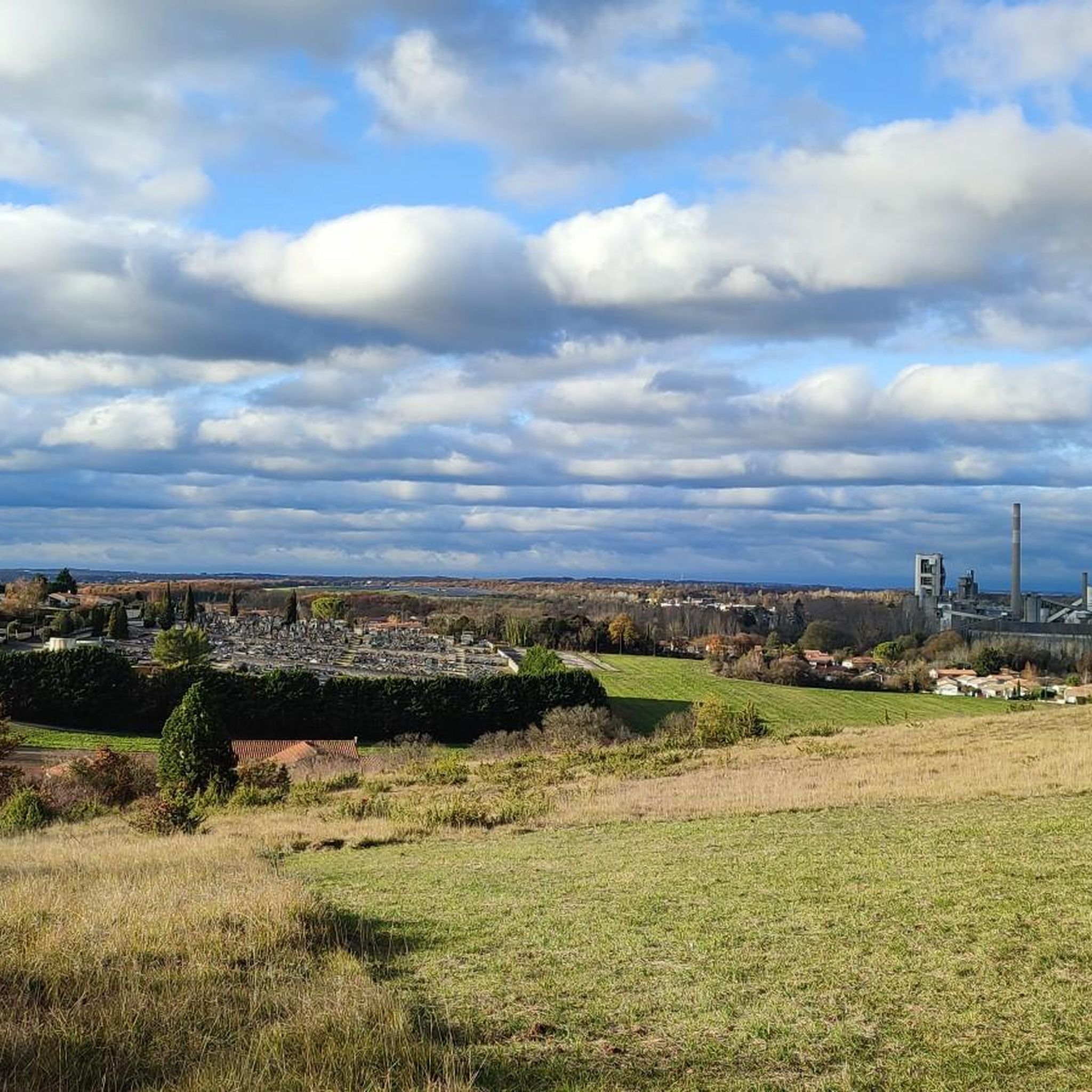
Jogging routes around Vœuil-Et-Giget traverse a landscape characterized by wooded limestone plateaus and river valleys, notably the Eaux-Claires and Charraud. The area features varied terrain, from exposed rocky walls to tranquil dirt tracks along the Charente river. Elevations range from 55 meters to 147 meters, offering diverse running experiences. The Vallée des Eaux Claires, a Site of European Interest, provides routes with limestone cliffs and Mediterranean vegetation.
Best jogging routes around Vœuil-Et-Giget
- The most popular jogging route is Valley of…
Last updated: July 1, 2026
4.4
(5)
17
runners
6.11km
00:43
70m
70m
Moderate run. Good fitness required. Mostly paved surfaces. Suitable for all skill levels.
4.2
(6)
24
runners
6.26km
00:42
90m
90m
Moderate run. Good fitness required. Mostly paved surfaces. Suitable for all skill levels.

Sign up for free
34
runners
8.83km
01:03
150m
150m
Moderate run. Good fitness required. Mostly paved surfaces. Suitable for all skill levels.
19
runners
23.1km
02:46
350m
350m
Hard run. Very good fitness required. Mostly paved surfaces. Suitable for all skill levels.
23
runners
13.7km
01:28
160m
160m
Moderate run. Good fitness required. Mostly paved surfaces. Suitable for all skill levels.
Get access to more routes and recommendations from other explorers.
Sign up for free
Already have an account?
Our route recommendations are based on thousands of hikes, rides, and runs completed by other people on komoot.
Start today with a free account
Your next adventure awaits.
Login or Signup



Tips from the Community

A former stronghold during the Hundred Years' War, the building is said to have served as a landmark for the English, nicknamed the Red Devils, which is said to have given it its name. The building is currently privately owned. https://www.chateau-fort-manoir-chateau.eu/chateaux-charente-chateau-a-puymoyen-chateau-du-diable.html https://www.francebleu.fr/emissions/histoires-et-patrimoine-dans-les-2-charentes/les-charentes-mysterieuses-le-chateau-du-diable-a-puymoyen-16-1426390
0
0

This beautiful valley is classified as a Site of European Interest due to its limestone cliffs and Mediterranean vegetation. The southern slopes are dry grassland which favors a warmer climate, while the northern slopes and valley floor are cooler and wetter. As a natural climbing site, it is known all over the world.
2
0
This beautiful valley is classified as a Site of European Interest due to its limestone cliffs and Mediterranean vegetation. The southern slopes are dry grassland which favors a warmer climate, while the northern slopes and valley floor are cooler and wetter. As a natural climbing site, it is known all over the world.
5
1

Be careful on the descent: it can go quickly and the visibility is not always at the top.
0
0

Natural valley protected by steep walls. This plot is a short version. There are many paths, some of which are not shown on Komoot, to compose your own variations. The high trails offer superb views, but require vigilance due to the risk of falling. The Moulin du Verger, below, is also worth a look.
2
2
Frequently Asked Questions
How many running routes are available in Vœuil-Et-Giget?
There are over 400 running routes available in Vœuil-Et-Giget, offering a wide variety of options for all fitness levels. These include 34 easy routes, over 300 moderate routes, and 56 more challenging trails.
What kind of terrain can I expect on running trails in Vœuil-Et-Giget?
Running trails in Vœuil-Et-Giget feature diverse terrain, from wooded limestone plateaus and valleys with exposed rocky walls to tranquil dirt tracks along the Charente river. The region is characterized by its Angoumois relief, including the notable Vallée des Eaux Claires with its limestone cliffs and varied vegetation.
Are there running routes suitable for beginners or easy runs?
Yes, Vœuil-Et-Giget offers 34 easy running routes perfect for beginners or those looking for a relaxed jog. Many paths are predominantly paved or traverse gentle natural trails, providing accessible options for all.
What do other runners say about the trails in Vœuil-Et-Giget?
The running routes in Vœuil-Et-Giget are highly rated by the komoot community, with an average score of 4.3 stars from over 100 reviews. More than 6,900 runners have explored the varied terrain, often praising the scenic beauty of the Eaux-Claires valley and the well-maintained paths.
Are there options for longer distance running or more challenging trails?
Absolutely. For those seeking longer distances or more challenging runs, Vœuil-Et-Giget offers 56 difficult routes. An example is the Vallée des Eaux claires loop from Puymoyen, a 23.1 km trail with significant elevation gain, often completed in under 3 hours.
Can I find scenic running routes with natural beauty?
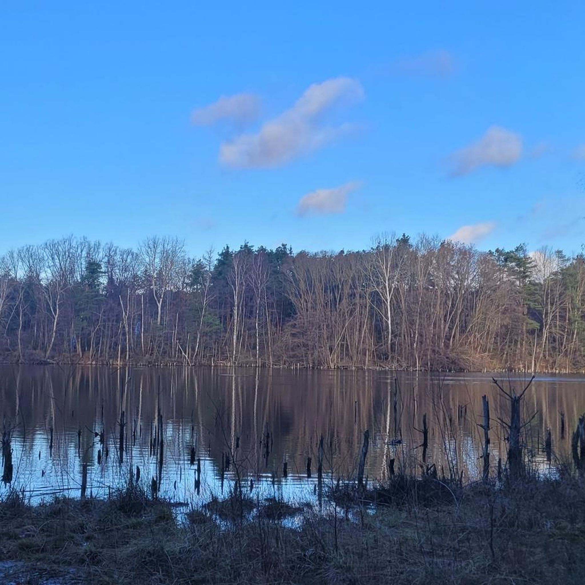
Yes, the region is rich in natural beauty. The Vallée des Eaux claires, a Site of European Interest, is particularly renowned for its limestone cliffs and Mediterranean vegetation, offering stunning views. The Charente river also provides serene paths like the Charente Riverside Path at La Meure.
Are there any historical or cultural landmarks I can see while running?
Yes, you can incorporate cultural sights into your run. The 12th-century Romanesque Church of Notre-Dame de Trois-Palis is easily accessible via pleasant routes. Additionally, several castles are nearby, such as Château de la Rochandry, which can be points of interest during your exploration.
Are there running paths along the Charente river?
Yes, the Charente Riverside Path at La Meure offers a tranquil dirt track perfect for jogging. It runs between a wooded hillside and the river, providing a peaceful environment free from most motor vehicle traffic.
What are the Fleurac Islands and can I run there?
The Fleurac Islands, located south of Linars, are a popular spot for walkers and cyclists. While not exclusively running trails, their accessibility from Angoulême and pleasant environment make them suitable for a leisurely run or a family outing.
Are there circular running routes in Vœuil-Et-Giget?
Many of the running routes in Vœuil-Et-Giget are circular, offering convenient starting and ending points. Examples include the popular Valley of Clear Waters - Pumoyen loop and the Eaux Claires Valley – Orchard Mill loop from Puymoyen.
Can I find running routes that explore different valleys in the region?
Yes, the local topography is shaped by prominent valleys. You can explore routes in the Eaux-Claires valley, which is a Site of European Interest, or the Charraud valley. The Orchard Mill – Vallée des Eaux claires loop from Vœuil-et-Giget is a great option to experience these diverse landscapes.
Are there any running routes that offer views of the Anguienne Valley?
Yes, for a different valley experience, consider the Anguienne Valley loop from Puymoyen. This route offers a challenging run through another beautiful part of the region, with varied terrain and elevation changes.
Most popular routes around Vœuil-Et-Giget
Most popular attractions around Vœuil-Et-Giget

Get inspired with the komoot mobile app


Explore more
Browse the best Running Trails & Routes in other regions.
