The best walks and hikes around Balgstädt
4.6
(10328)
35,678
hikers
32
hikes
Hiking around Balgstädt offers a diverse landscape characterized by rolling hills, river valleys, and extensive vineyards. The region features a mix of open agricultural land and forested sections, providing varied scenery for outdoor activities. Elevation changes are generally moderate, making many routes accessible for different fitness levels. The area is known for its natural beauty, including specific trails like the Orchid Trail and views over the Unstrut valley.
Best hiking trails around Balgstädt
- The most popular hiking route is View…
Last updated: October 12, 2026
4.7
(171)
433
hikers
8.58km
02:25
170m
170m
Moderate hike. Good fitness required. Easily-accessible paths. Suitable for all skill levels.
4.8
(214)
730
hikers
9.30km
02:33
150m
150m
Moderate hike. Good fitness required. Easily-accessible paths. Suitable for all skill levels.

4.7
(12)
43
hikers
9.61km
02:39
160m
160m
Moderate hike. Good fitness required. Easily-accessible paths. Suitable for all skill levels.
4.5
(10)
33
hikers
7.19km
02:00
130m
130m
Moderate hike. Good fitness required. Easily-accessible paths. Suitable for all skill levels.
4.4
(8)
21
hikers
6.79km
01:53
120m
120m
Easy hike. Great for any fitness level. Easily-accessible paths. Suitable for all skill levels.
Get access to more routes and recommendations from other explorers.
Already have an account?
Our route recommendations are based on thousands of hikes, rides, and runs completed by other people on komoot.
Start today with a free account
Your next adventure awaits.
Tips from the Community

Tip as already described
0
0
Tip as already described
0
0

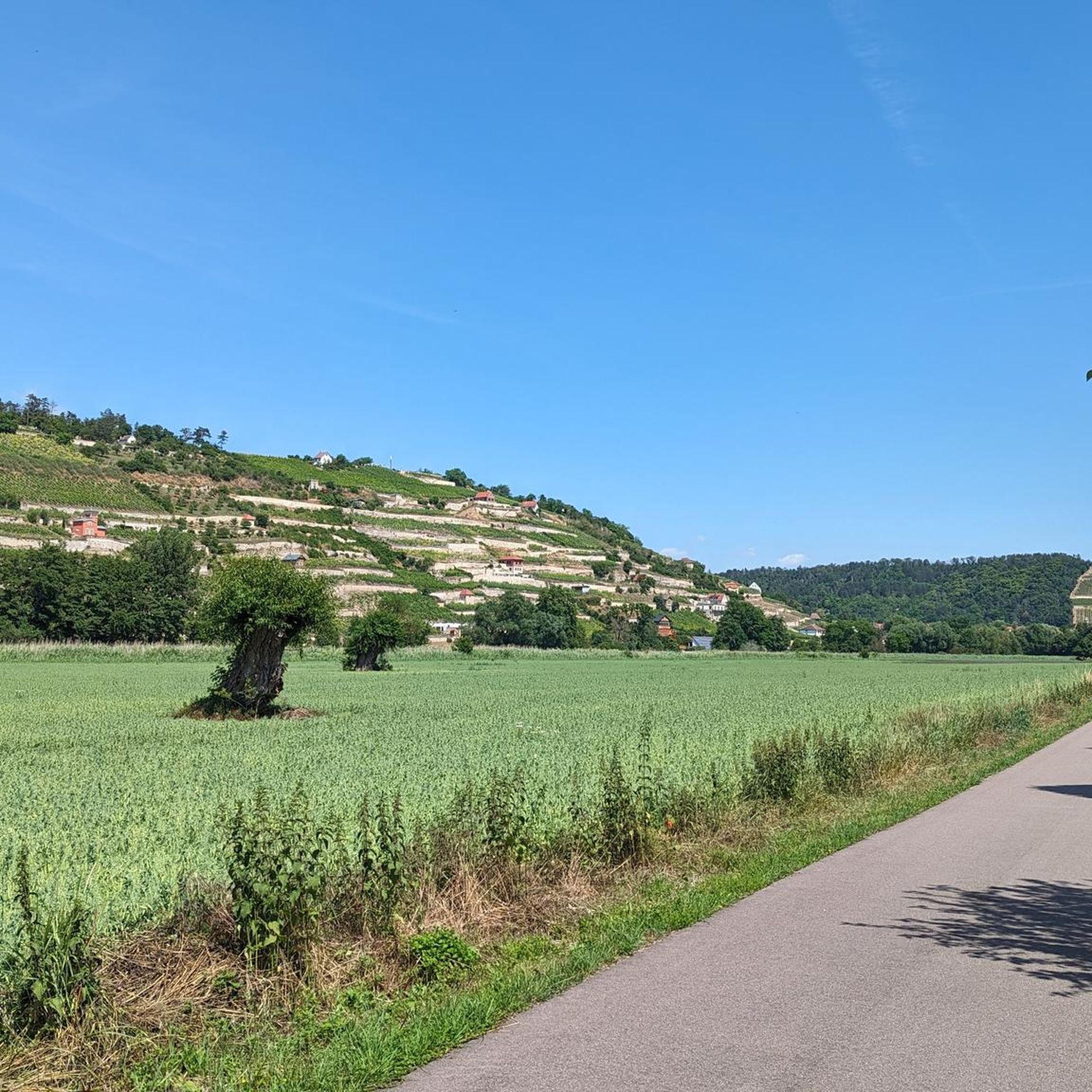
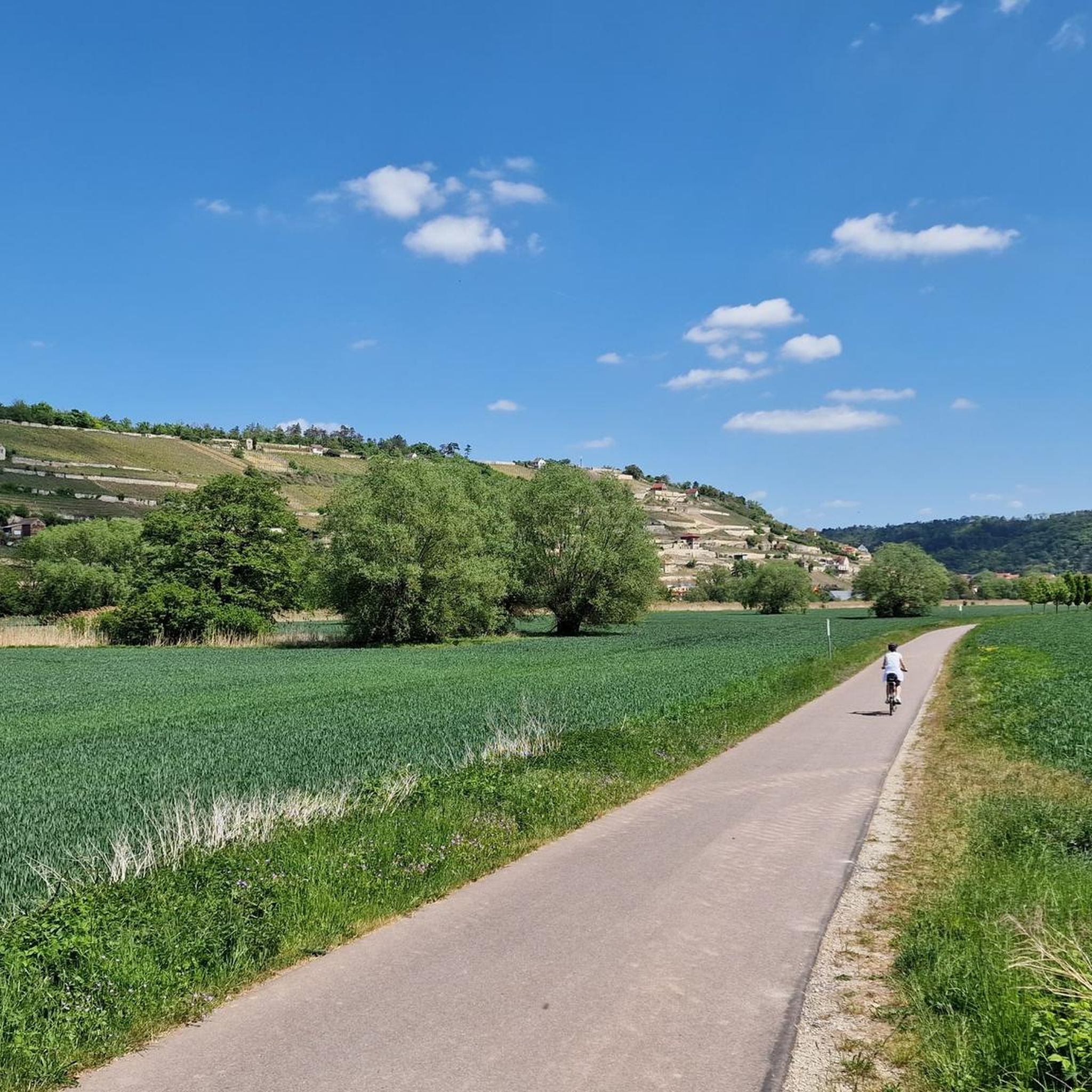
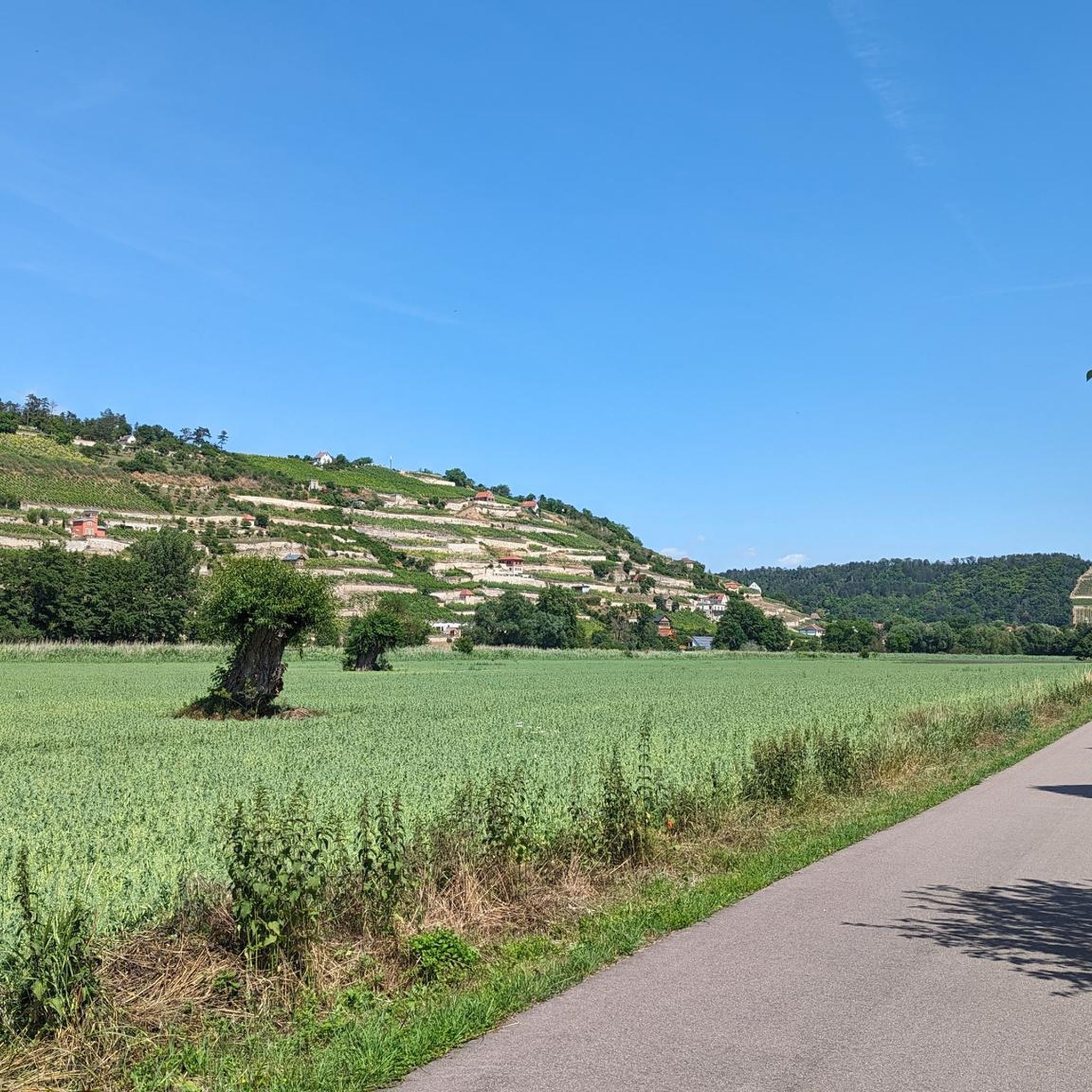
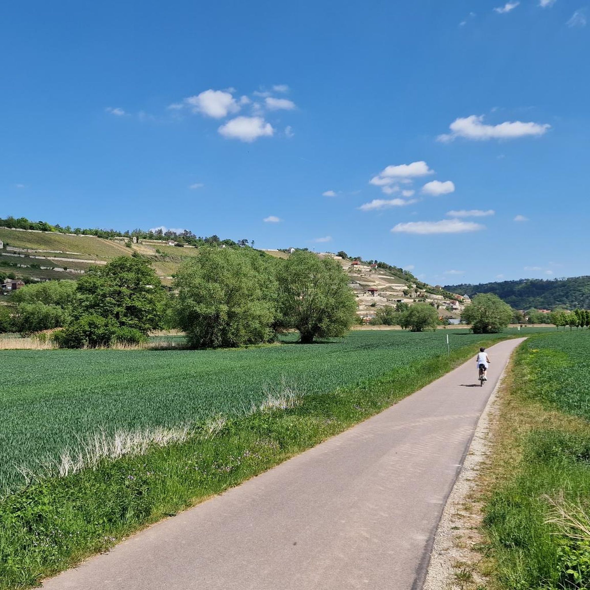
A vineyard as if painted, you can comfortably glide past it on a very good cycle path.
0
0

Especially in spring, a feast for the eyes
0
0

Wonderful cycle path along the vineyards near Freyburg.
0
0

A great hiking trail in the heights with many views
1
0

View of Freyburg. Particularly beautiful from this hiking trail.
1
0
Frequently Asked Questions
How many hiking trails are there in Balgstädt?
Balgstädt offers a wide selection of hiking opportunities, with over 30 routes available for exploration. These range from easy strolls to more challenging paths through varied landscapes.
What kind of landscape can I expect when hiking around Balgstädt?
Hiking around Balgstädt is characterized by diverse scenery, including rolling hills, picturesque river valleys, and extensive vineyards. You'll find a mix of open agricultural land and forested sections, with moderate elevation changes that make many routes accessible.
Are there easy hiking trails suitable for beginners or families in Balgstädt?
Yes, Balgstädt is very welcoming for beginners and families. Approximately 20 of the available routes are rated as easy. A great option is the Schweigenberge Vineyards – Schweigenberge Vineyards loop from Balgstädt, which is 3.7 miles (6.0 km) long and takes about 1 hour 33 minutes to complete, offering gentle terrain through scenic vineyards.
Are there circular walks available in Balgstädt?
Many of the hiking routes in Balgstädt are designed as circular walks, allowing you to start and end at the same point. Examples include the popular View of Freyburg – Schweigenberge Vineyards loop from Balgstädt and the Orchid Trail — Tote Täler – Old Vineyard (Tote Täler) loop from Balgstädt.
What interesting sights or landmarks can I see near the hiking trails in Balgstädt?
The region around Balgstädt is rich in natural beauty and historical sites. Along your hikes, you might encounter the Ducal Vineyard below Neuenburg Castle, the scenic Vines on the Saalberge, or the significant Confluence of the Saale and Unstrut Rivers. Historic structures like the Rudelsburg and the impressive Naumburg Cathedral of St. Peter and St. Paul are also nearby.
Can I bring my dog on the hiking trails in Balgstädt?
Generally, dogs are welcome on hiking trails in Balgstädt. However, it's always advisable to keep your dog on a leash, especially in nature reserves, agricultural areas, or near livestock, and to respect local signage. Always carry water for your dog and clean up after them.
What is the best time of year to go hiking in Balgstädt?
The spring and autumn months are particularly beautiful for hiking in Balgstädt. In spring, the orchids along the Orchid Trail are in bloom, and the vineyards burst with new growth. Autumn offers stunning foliage colors and harvest festivals. Summer is also pleasant, especially in forested areas, while winter can provide unique, quiet landscapes for those prepared for colder conditions.
Are there options for winter hiking in Balgstädt?
While Balgstädt is not specifically known for dedicated winter hiking routes, many trails remain accessible during the colder months. The moderate terrain means that with appropriate winter gear and caution for icy patches, you can enjoy the serene winter landscape. Always check local conditions before heading out.
Where can I find the best viewpoints on hikes around Balgstädt?
For panoramic views, consider the View of Freyburg – Schweigenberge Vineyards loop from Balgstädt. This route offers excellent vistas over the Schweigenberge Vineyards and the surrounding Unstrut valley, providing memorable photo opportunities.
How long do hikes typically take around Balgstädt?
Hikes in Balgstädt vary in length and duration. You can find shorter walks like the Schweigenberge Vineyards loop, which takes about 1 hour 33 minutes. Longer, moderate routes such as the View of Freyburg – Schweigenberge Vineyards loop can take around 2 hours 32 minutes, covering about 5.8 miles (9.3 km).
What do other hikers enjoy most about hiking in Balgstädt?
The hiking experience in Balgstädt is highly regarded by the komoot community, with an average rating of 4.6 stars from over 2,400 reviews. Hikers frequently praise the beautiful vineyard landscapes, the unique 'Tote Täler' (dead valleys), and the well-maintained paths that offer diverse scenery for all fitness levels.
Are there hiking trails in Balgstädt that include places to eat or pubs?
While specific routes may not always directly pass a pub, the region around Balgstädt, particularly in nearby towns like Freyburg, is known for its wine taverns and restaurants. Many hikers plan their routes to finish near these establishments to enjoy local cuisine and wines. It's recommended to check local listings for dining options along or near your chosen trail.
Most popular routes around Balgstädt
Most popular attractions around Balgstädt

Get inspired with the komoot mobile app


Explore more
Browse the best Hikes in other regions.
