The best walks and hikes around Plouasne
4.4
(302)
1,485
hikers
109
hikes
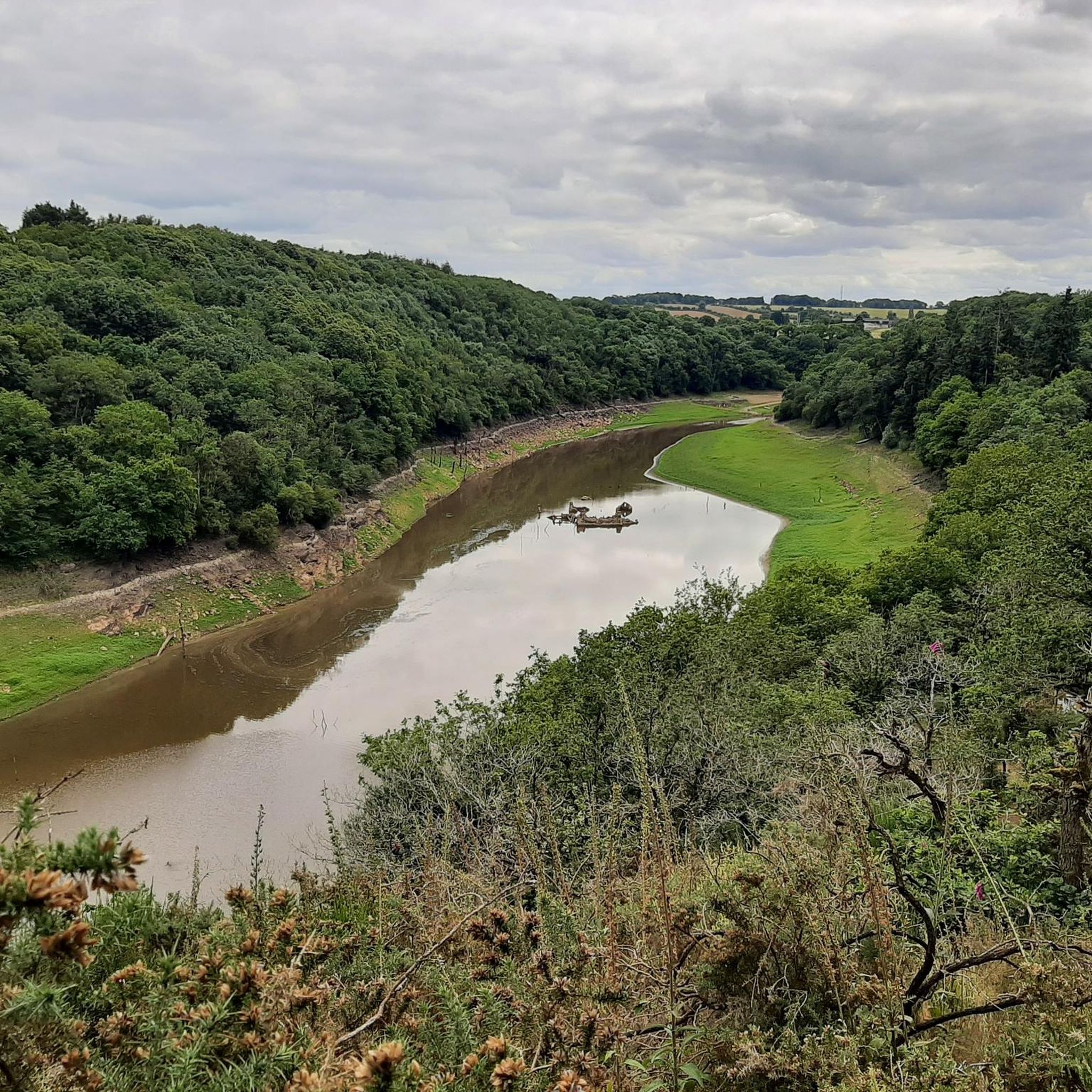
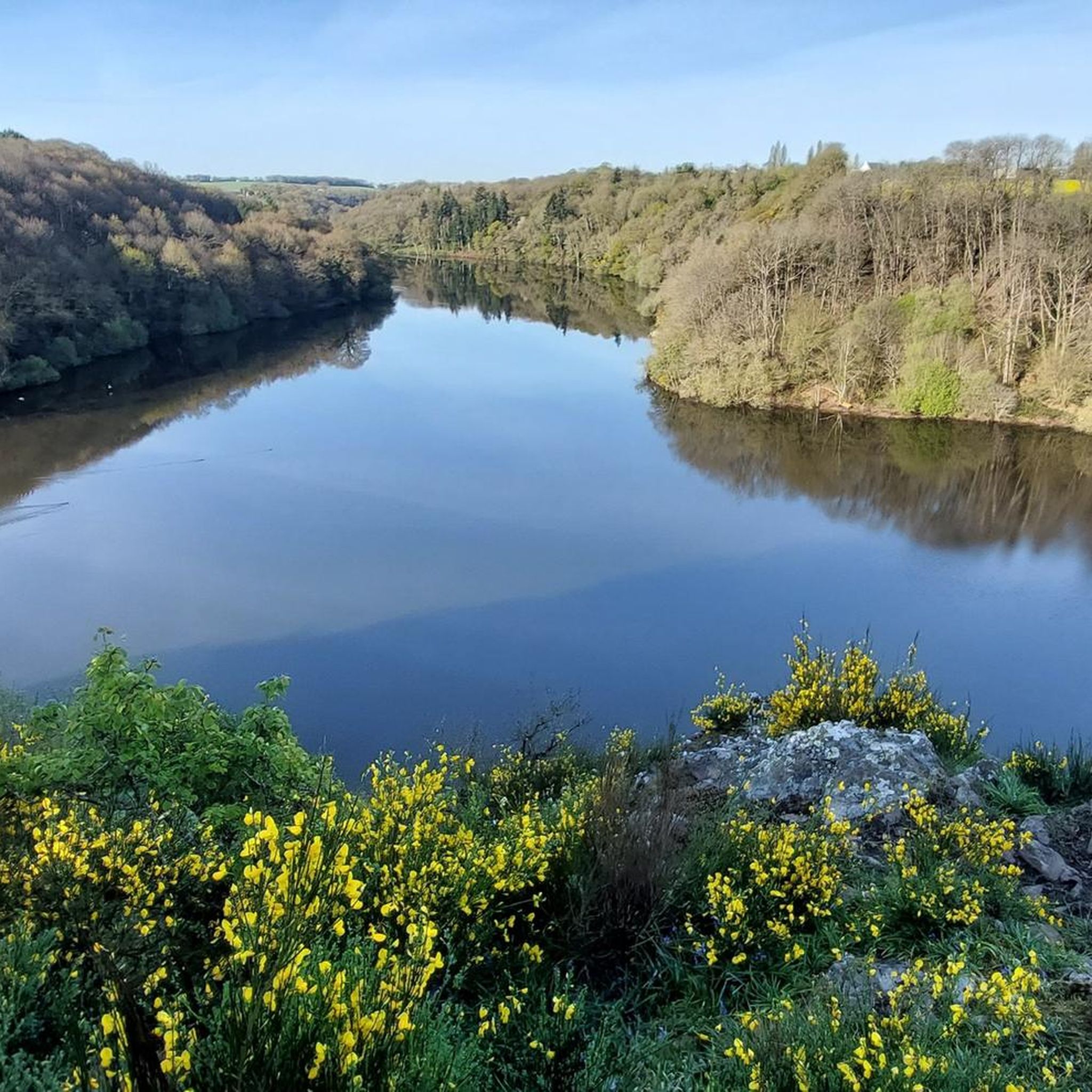
Hiking around Plouasne, located in Brittany, France, offers diverse natural landscapes for outdoor enthusiasts. The region features varied terrain, including natural and unspoiled areas, wild moors, lush forests, and peaceful lakes. Key geographical features include the Rophemel Reservoir, Lac de Néal, and sections of the historic Ille-et-Rance Canal, providing accessible routes through different ecosystems. These elements contribute to a rich environment for exploring the area's natural beauty.
Best hiking trails around Plouasne
- The most popular hiking route is Bécherel, Book Town – Escalier Bescherel loop from Bécherel, a 4.9 miles (7.9 km) trail that takes 2 hours 8 minutes to complete. This moderate route explores the area around the charming town of Bécherel.
- Another top favourite among local hikers is Château de Beaumont – Rophemel Reservoir loop from Guenroc, a moderate 10.1 miles (16.3 km) path. This route offers views of the Rophemel Reservoir and the Château de Beaumont.
- Local hikers also love the Rophemel Reservoir – Château de Beaumont loop from Saint-Maden, an 18.3 miles (29.5 km) trail leading through varied landscapes around the Rophemel Reservoir, often completed in about 7 hours 56 minutes.
- Hiking around Plouasne is defined by serene lakes, historic canals, and lush forests. The network offers options for easy walks, moderate excursions, and more challenging routes.
- The routes in Plouasne are highly rated by the komoot community with an average score of 4.4 stars from over 200 reviews. More than 1000 hikers have used komoot to explore Plouasne's varied terrain.
Last updated: July 4, 2026
4.7
(9)
43
hikers
7.82km
02:08
110m
110m
Moderate hike. Good fitness required. Easily-accessible paths. Suitable for all skill levels.
4.5
(6)
41
hikers
Moderate hike. Good fitness required. Easily-accessible paths. Suitable for all skill levels.

Sign up for free
4.0
(2)
9
hikers
13.5km
03:39
180m
180m
Moderate hike. Good fitness required. Easily-accessible paths. Suitable for all skill levels.
5.0
(1)
6
hikers
3.30km
00:56
70m
70m
Easy hike. Great for any fitness level. Easily-accessible paths. Suitable for all skill levels.
4.0
(2)
6
hikers
5.68km
01:32
70m
70m
Easy hike. Great for any fitness level. Easily-accessible paths. Suitable for all skill levels.
Get access to more routes and recommendations from other explorers.
Sign up for free
Already have an account?
Our route recommendations are based on thousands of hikes, rides, and runs completed by other people on komoot.
Start today with a free account
Your next adventure awaits.
Login or Signup


Tips from the Community

The Lampouy alignments are a set of five megalithic alignments.
0
0


megalith which dominates the countryside. excellent downhill single suitable for gravel
0
0

Opposite the standing stone, large field of aligned stones. Be careful in rainy weather, delicate surroundings of the water reservoir
0
0

The Lampouy alignments are a set of five megalithic alignments located in the commune of Médréac
0
0
The menhir is made of quartzite. Its height is 4.28 m, width 2.20 m and thickness 1.18 m. Its elongated and pointed shape would have earned it its name of Pierre Longue. Toppled in 1963, the menhir was erected in 1979. (Wikipedia)
0
0

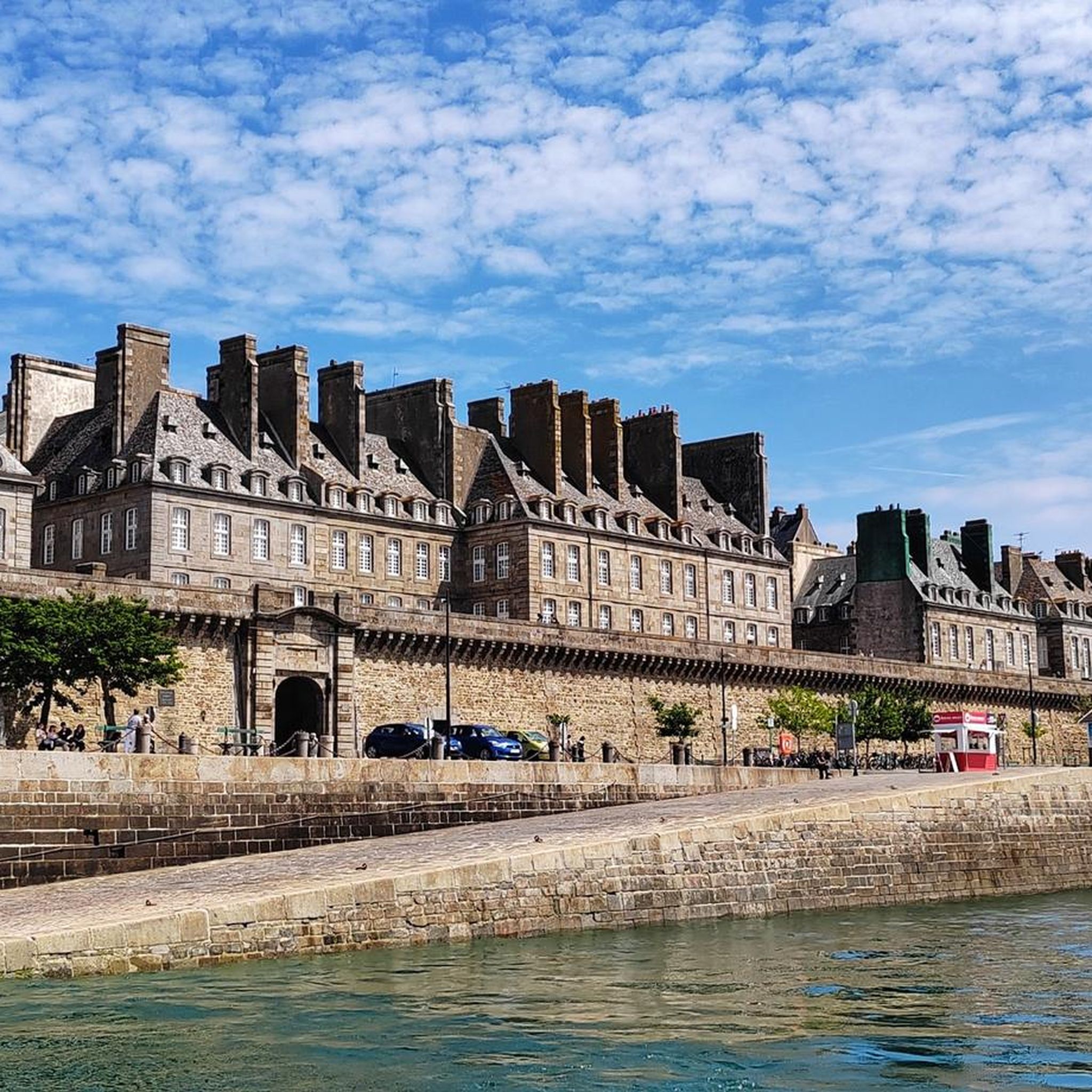
City of character and city of the book, former stronghold. Do not miss to walk there. A vertiginous descent leads to the laundry.
0
0
Very pretty historic building.
0
0
Frequently Asked Questions
How many hiking trails are available around Plouasne?
There are nearly 100 hiking trails around Plouasne, offering a wide range of options for all skill levels. You'll find 46 easy routes, 47 moderate routes, and 6 more challenging trails to explore the diverse landscapes of the region.
Are there any easy, family-friendly walks in Plouasne?
Yes, Plouasne offers many easy walks suitable for families. For a shorter, accessible option, consider the Escalier Bescherel loop from Bécherel, which is an easy 3.6 km trail. The area around Lac de Néal (also known as Étang de Bétineuc) also features very accessible walking trails with wooden footbridges, perfect for a leisurely stroll.
What kind of natural landscapes can I expect to see while hiking in Plouasne?
Plouasne's hiking trails showcase diverse natural landscapes, including serene bodies of water like the Rophemel Reservoir and Etang de Bétineuc, lush forests, and wild moors. You can also explore sections of the historic Ille-et-Rance Canal, which offers pleasant greenway paths adorned with flowered lock keeper's houses.
Are there any circular walks around Plouasne?
Yes, many of the trails around Plouasne are circular, allowing you to start and end at the same point. A notable circular route is the Château de Beaumont – Rophemel Reservoir loop from Guenroc, a moderate 16.3 km path offering scenic views.
Can I find trails with waterfalls near Plouasne?
Yes, the region features natural attractions like the Néal Waterfall and View of the Pond. This highlight is located near the Étang de Bétineuc, offering a picturesque spot to enjoy a waterfall during your hike.
What are some interesting historical or cultural sites to see along the trails?
Beyond natural beauty, you can discover historical elements. The Néal valley, for instance, features megalithic alignments. The nearby town of Bécherel, known as a 'Book Town,' is also a charming destination. You might also encounter the Menhir de la Pierre Longue, an ancient standing stone.
What do other hikers enjoy most about hiking in Plouasne?
The trails in Plouasne are highly rated by the komoot community, with an average score of 4.4 stars from over 200 reviews. Hikers often praise the serene lakes, historic canals, and lush forests, highlighting the varied terrain and the peaceful atmosphere of the region.
Are there any longer, more challenging hikes for experienced trekkers?
For those seeking a more challenging experience, Plouasne offers several longer routes. The Rophemel Reservoir – Château de Beaumont loop from Saint-Maden is a difficult 29.5 km trail that takes nearly 8 hours to complete, leading through varied landscapes around the Rophemel Reservoir.
Are there any specific viewpoints or scenic spots recommended for hikers?
Many trails offer beautiful viewpoints, particularly around the Rophemel Reservoir and Lac de Néal. The Néal Waterfall and View of the Pond is a specific highlight known for its scenic outlook over the pond and surrounding nature.
Is it possible to access hiking trails using public transport in Plouasne?
While specific public transport connections directly to trailheads can vary, the Ille-et-Rance Canal, which is integrated into many hiking circuits, is a popular greenway that can be accessed from various points. For detailed public transport information to specific starting points, it's advisable to check local transport schedules for the Côtes-d'Armor department.
What is the best time of year to go hiking in Plouasne?
Plouasne offers enjoyable hiking experiences throughout much of the year. Spring and autumn provide pleasant temperatures and beautiful scenery with blooming flora or vibrant fall colors. Summer is also popular, though some routes might offer more shade in forested areas. Winter hiking is possible, but trails can be muddy, so appropriate footwear is recommended.
Are there any facilities like picnic areas or bivouac spots along the trails?
Yes, you can find facilities to enhance your outdoor experience. For example, there's a Picnic area by the water near Étang de Bétineuc, and a Bivouac Area of Évran, which can be useful for longer excursions.
Most popular attractions around Plouasne

Get inspired with the komoot mobile app


Explore more
Browse the best Hikes in other regions.
