The best MTB trails around La Prénessaye
4.5
(15)
180
riders
40
rides
Mountain bike trails around La Prénessaye are situated in Brittany, France, offering access to diverse natural landscapes. The area is characterized by rural paths, greenways, and dense woodlands, with proximity to more extensive trail networks. Nearby Loudéac is a known mountain biking hub, and Lac de Guerlédan features a dedicated mountain bike resort with an extensive network of routes. The region's topography includes wild moors, undergrowth, and varied terrain suitable for mountain biking.
Best mountain bike trails around La Prénessaye
…Last updated: July 4, 2026
4.3
(4)
30
riders
43.9km
03:31
590m
600m
Moderate mountain bike ride. Good fitness required. Suitable for all skill levels.
5.0
(1)
27
riders
45.1km
03:20
570m
570m
Moderate mountain bike ride. Good fitness required. Suitable for all skill levels.

Sign up for free
3.0
(2)
21
riders
29.0km
02:29
400m
400m
Moderate mountain bike ride. Good fitness required. Suitable for all skill levels.
10
riders
36.7km
02:26
420m
420m
Moderate mountain bike ride. Good fitness required. Suitable for all skill levels.
4
riders
32.9km
02:00
380m
380m
Moderate mountain bike ride. Good fitness required. Suitable for all skill levels.
Get access to more routes and recommendations from other explorers.
Sign up for free
Already have an account?
Our route recommendations are based on thousands of hikes, rides, and runs completed by other people on komoot.
Start today with a free account
Your next adventure awaits.
Login or Signup



Tips from the Community

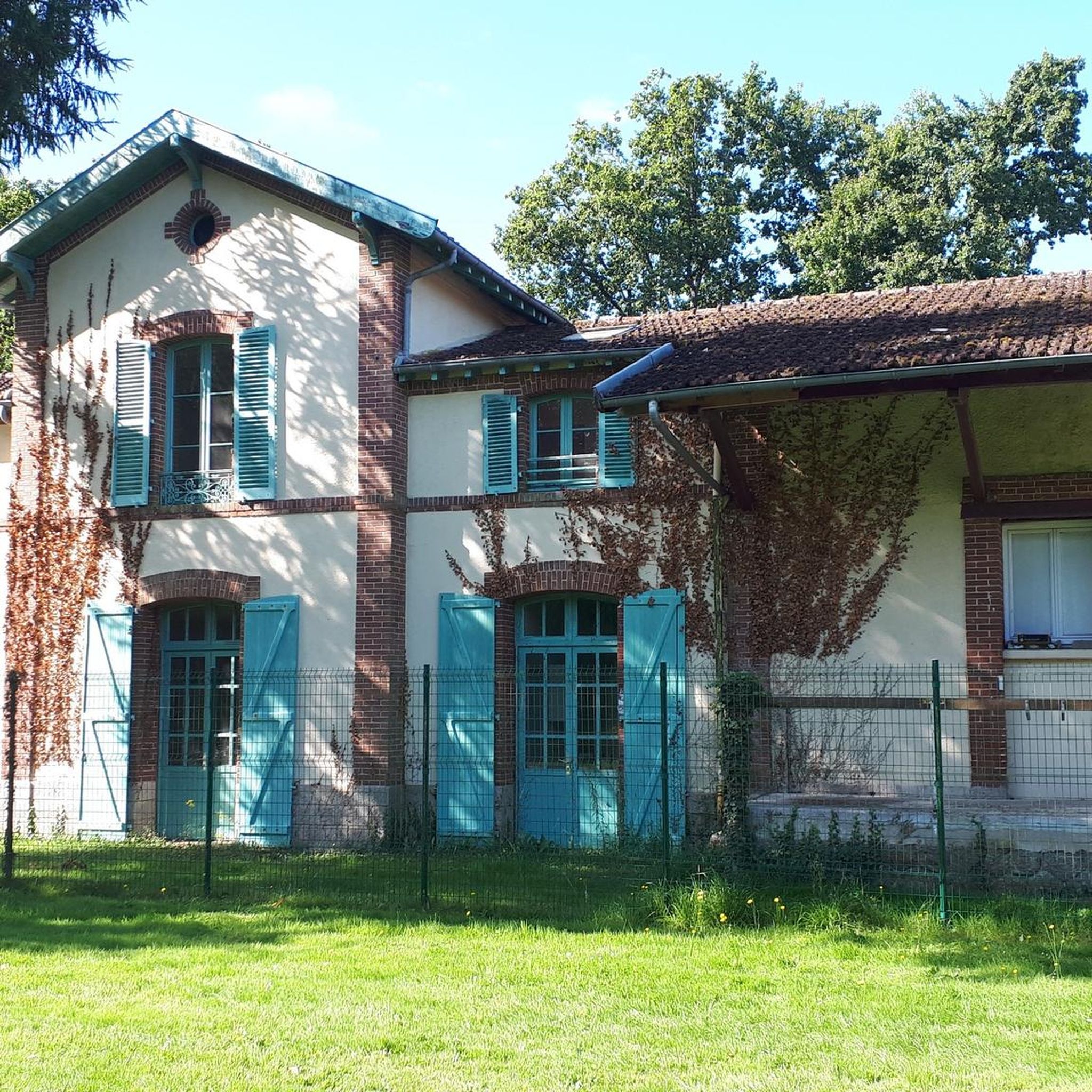
Access to the path is barely visible (just after the bridge) and when you follow the path, it is magnificent.
0
0

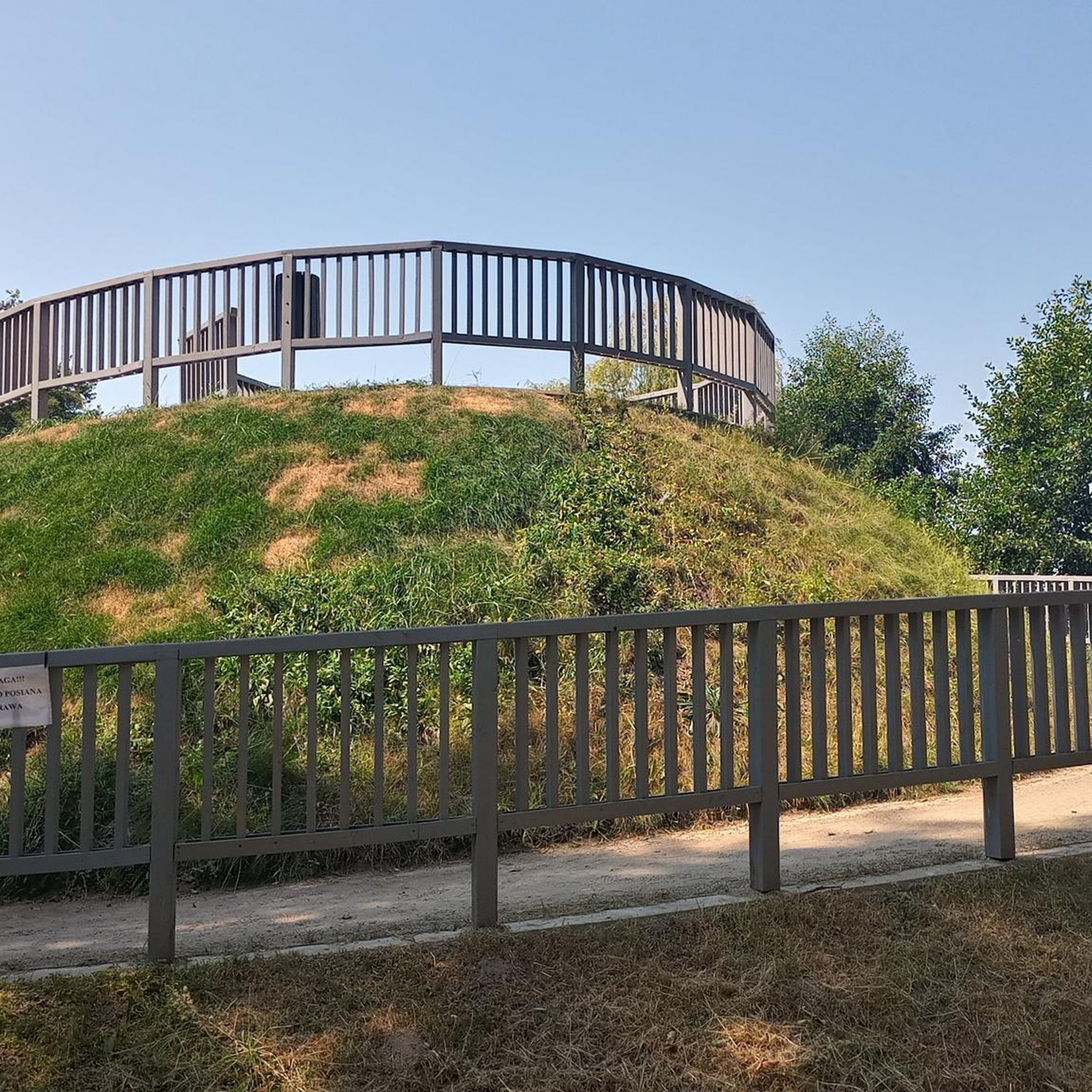
Trébry is a small village nestled in a rolling, green landscape. It is best known for Mount Bel-Air, the highest point in the department, and its 360-degree panorama.
0
0
Perched atop Mount Bel-Air, the highest point in the Côtes-d'Armor region, the Notre-Dame du Mont-Carmel chapel watches over the valley. Its octagonal architecture and radiating aisles make it a unique place. The view from the summit alone is worth the climb.
2
0

A very beautiful view of the pond next to Les Villes Hamelin.
0
0

The climb to Mont Bel Air is not excessively difficult from Saint Gouéno and is done in stages, it is more distinguished by its length.
2
0

Mont Bel-Air is the highest point in the French department of Côtes-d'Armor, at 339 meters above sea level, in the commune of Trébry. At the top of Mont Bel-Air is the Notre-Dame du Mont-Carmel (or Notre-Dame de Bel-Air).
1
0

Frequently Asked Questions
How many mountain bike trails are available around La Prénessaye?
There are over 40 mountain bike trails around La Prénessaye listed on komoot. These routes offer a variety of experiences, from easier rides to more challenging moderate trails.
What are the difficulty levels of mountain bike trails near La Prénessaye?
The trails around La Prénessaye cater to various skill levels. You'll find 5 easy routes, perfect for beginners or a relaxed ride, and 38 moderate routes for those seeking a bit more challenge. There are no difficult routes directly in this immediate area.
What kind of landscapes can I expect to see while mountain biking near La Prénessaye?
The region offers diverse natural landscapes, including rural paths, greenways, and dense woodlands. You'll also find proximity to significant natural features like the large artificial Lac de Guerlédan and the extensive Quénécan forest, providing varied terrain and scenic views.
Are there any family-friendly mountain bike trails in the area?
Yes, for families or those looking for a gentler ride, there are 5 easy mountain bike routes available. These typically follow rural paths and greenways, offering a relaxed way to explore the countryside. While specific family-designated routes aren't listed, the easier trails are generally suitable.
Can I bring my dog on the mountain bike trails around La Prénessaye?
Many natural areas in France, including forests and rural paths, are generally dog-friendly, especially if dogs are kept on a leash. However, it's always best to check local signage or specific regulations for each trail or protected area to ensure compliance.
Are there circular mountain bike routes available near La Prénessaye?
Yes, many of the mountain bike routes in the area are designed as loops. For example, you can explore the Étang des Quatorze Sous – Bois de Kerbussot loop from Plémet, which is a moderate 43.9 km ride, or the Mont Bel-Air loop from Plessala, covering 44.6 km through varied landscapes.
What do other mountain bikers enjoy about the trails in La Prénessaye?
The mountain bike trails around La Prénessaye are highly rated by the komoot community, with an average score of 4.4 stars from over 10 reviews. Riders often praise the varied terrain, the mix of forest paths and open sections, and the scenic views, particularly around areas like the Étang des Quatorze Sous.
Where can I find parking for mountain biking in La Prénessaye?
While specific parking locations for each trailhead are not detailed, routes often start from villages or designated recreational areas where parking is typically available. For example, routes like the Trail along the Lié – Small village Plémet loop from Plémet suggest starting points in or near villages where parking facilities are common.
Is there public transport access to the mountain bike trails?
La Prénessaye is a rural area, and direct public transport access to specific trailheads might be limited. It's advisable to check local bus schedules for connections to nearby towns like Loudéac, which is a mountain biking hub, and then plan your route from there. Having your own transport is generally recommended for flexibility.
What is the best time of year for mountain biking in La Prénessaye?
Brittany generally offers good mountain biking conditions throughout much of the year. Spring and autumn provide pleasant temperatures and vibrant scenery. Summer can be warm but is also popular. Winter riding is possible, but trails might be muddier, and daylight hours are shorter.
Are there any longer mountain bike routes for more experienced riders?
Yes, for those looking for longer rides, there are several moderate routes that cover significant distances. The Étang des Quatorze Sous – Bois de Kerbussot loop from Plémet is 43.9 km with over 590 meters of elevation gain, and the Mont Bel-Air loop from Plessala is 44.6 km with over 560 meters of ascent, offering a good workout.
Are there places to eat or drink along the mountain bike trails?
While specific cafes or pubs directly on the trails are not always guaranteed, many routes start or pass through villages like Plémet or Plessala, where you can typically find amenities. It's always a good idea to carry sufficient water and snacks, especially on longer rides.
What other mountain biking areas are accessible from La Prénessaye?
La Prénessaye is well-situated for accessing broader mountain biking networks. Loudéac, just 6.9 km away, is a recognized hub with various trails. Furthermore, the Lac de Guerlédan, about 31 km away, features a dedicated mountain bike resort with an extensive network of 300 km of marked routes suitable for all levels within the Quénécan forest.
Most popular routes around La Prénessaye

Get inspired with the komoot mobile app


Explore more
Browse the best MTB trails in other regions.
