The best walks and hikes around Vergèze
4.5
(476)
2,477
hikers
244
hikes
Hiking around Vergèze offers access to diverse landscapes in the Gard department of southern France. The region is characterized by Mediterranean garrigue and pine forests, providing varied terrain for exploration. Trails often feature views across the Vaunage region, with distant glimpses of the Cévennes mountains. Proximity to the Camargue also allows for contrasting wetland environments.
Best hiking trails around Vergèze
- The most popular hiking route is Pilgrim of Saint Jacques – Vauvert loop from Vauvert, a 9.8 miles (15.7…
Last updated: October 11, 2026
3.0
(1)
14
hikers
Hard hike. Very good fitness required. Easily-accessible paths. Suitable for all skill levels.
8
hikers
15.7km
04:14
210m
210m
Moderate hike. Good fitness required. Easily-accessible paths. Suitable for all skill levels.

3.0
(1)
9
hikers
22.6km
05:43
40m
40m
Hard hike. Very good fitness required. Easily-accessible paths. Suitable for all skill levels.
3.0
(1)
6
hikers
10.0km
02:41
110m
110m
Moderate hike. Good fitness required. Easily-accessible paths. Suitable for all skill levels.
5.0
(1)
9
hikers
13.1km
03:31
160m
160m
Moderate hike. Good fitness required. Easily-accessible paths. Suitable for all skill levels.
Get access to more routes and recommendations from other explorers.
Already have an account?
Our route recommendations are based on thousands of hikes, rides, and runs completed by other people on komoot.
Start today with a free account
Your next adventure awaits.
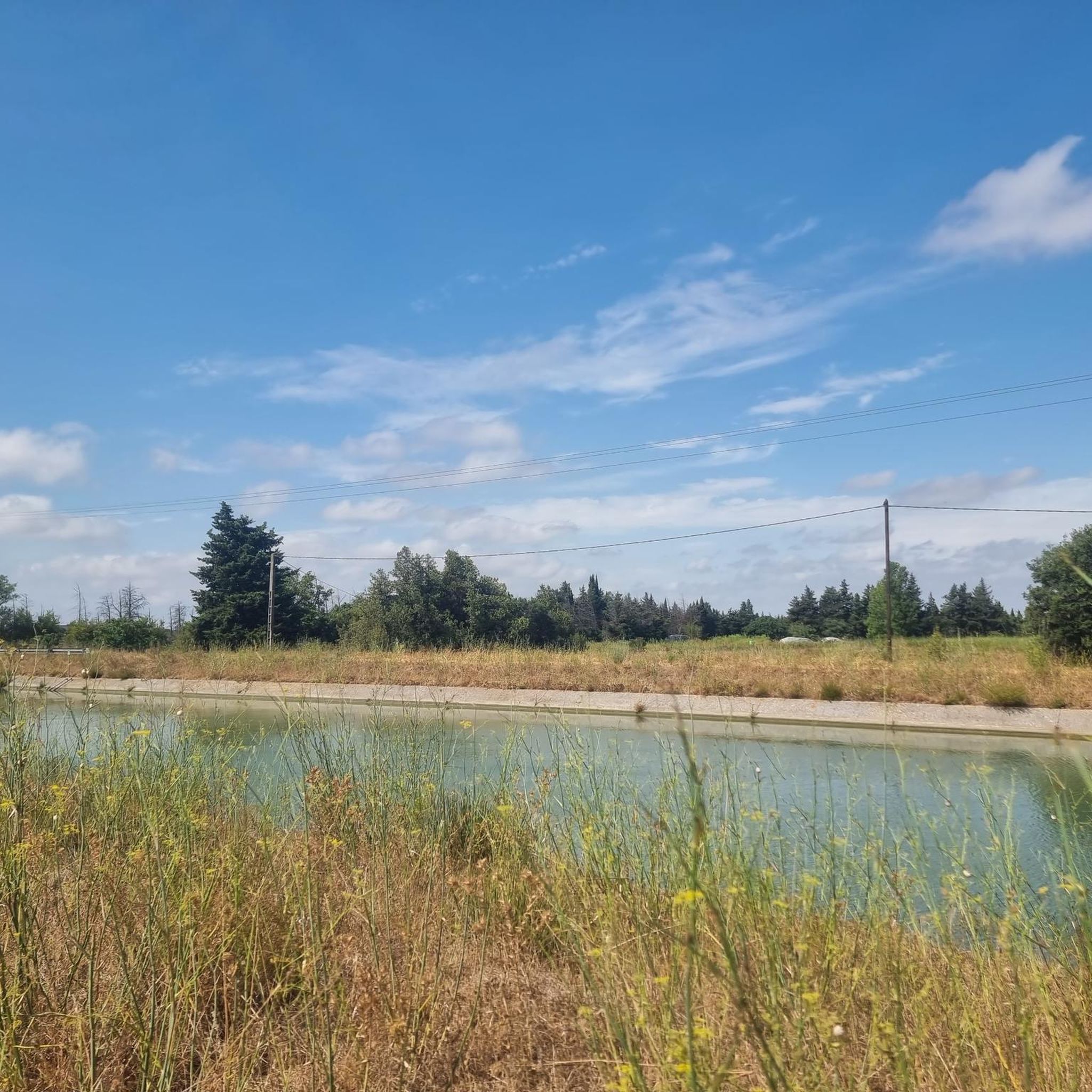
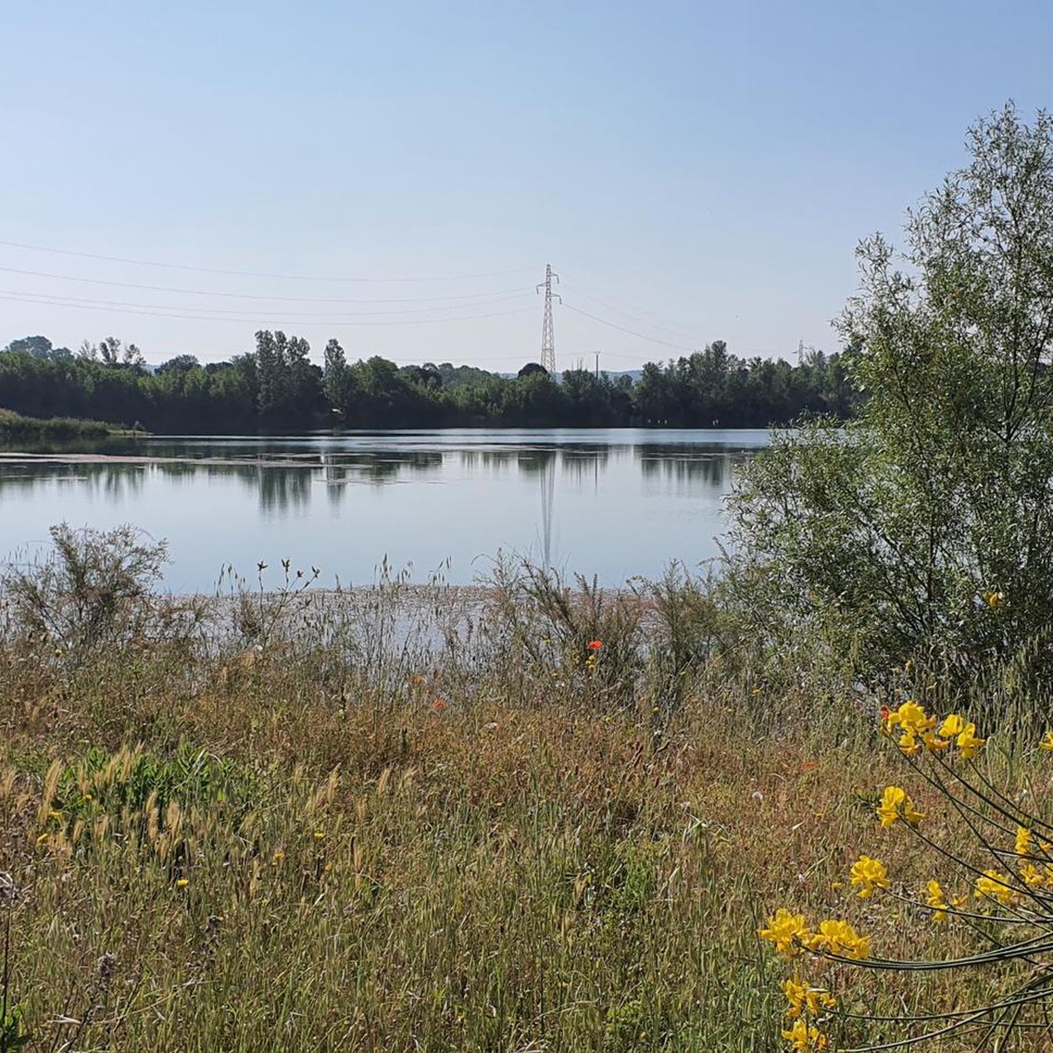
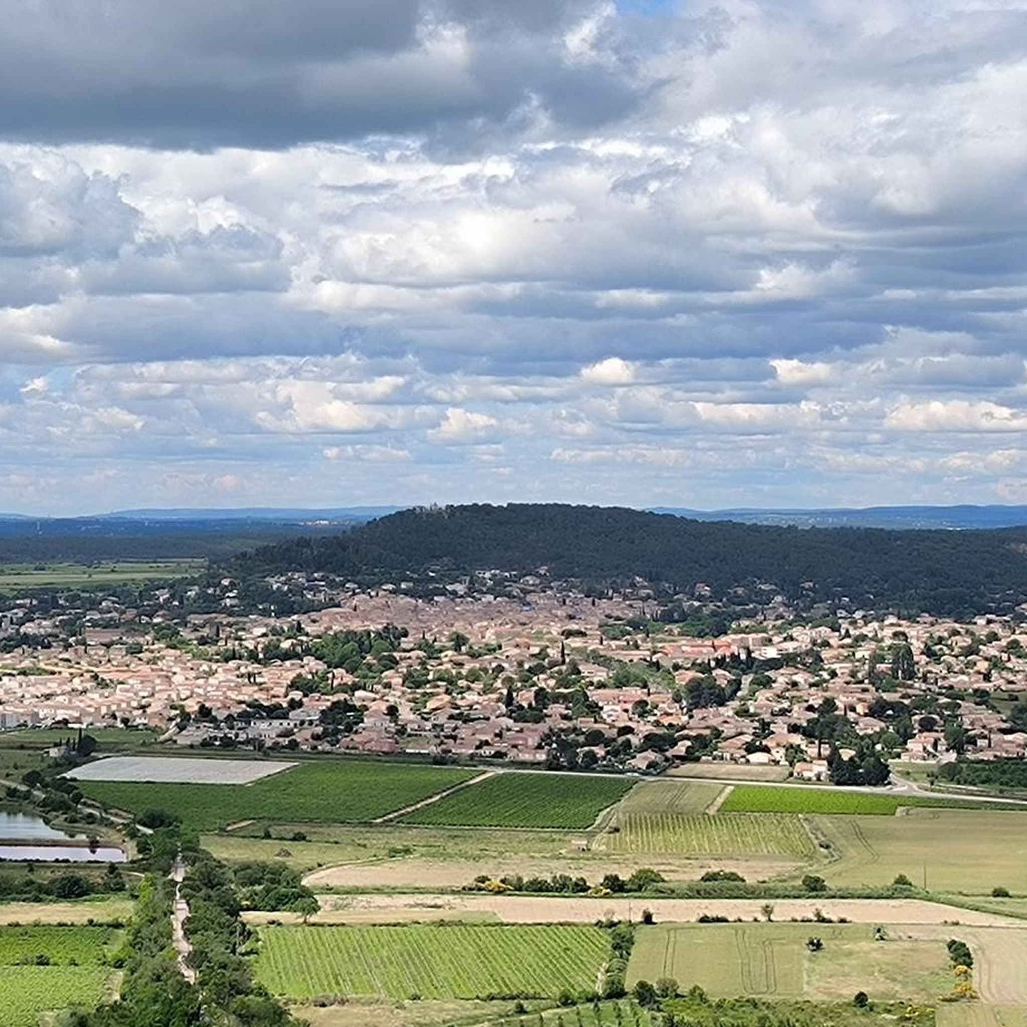
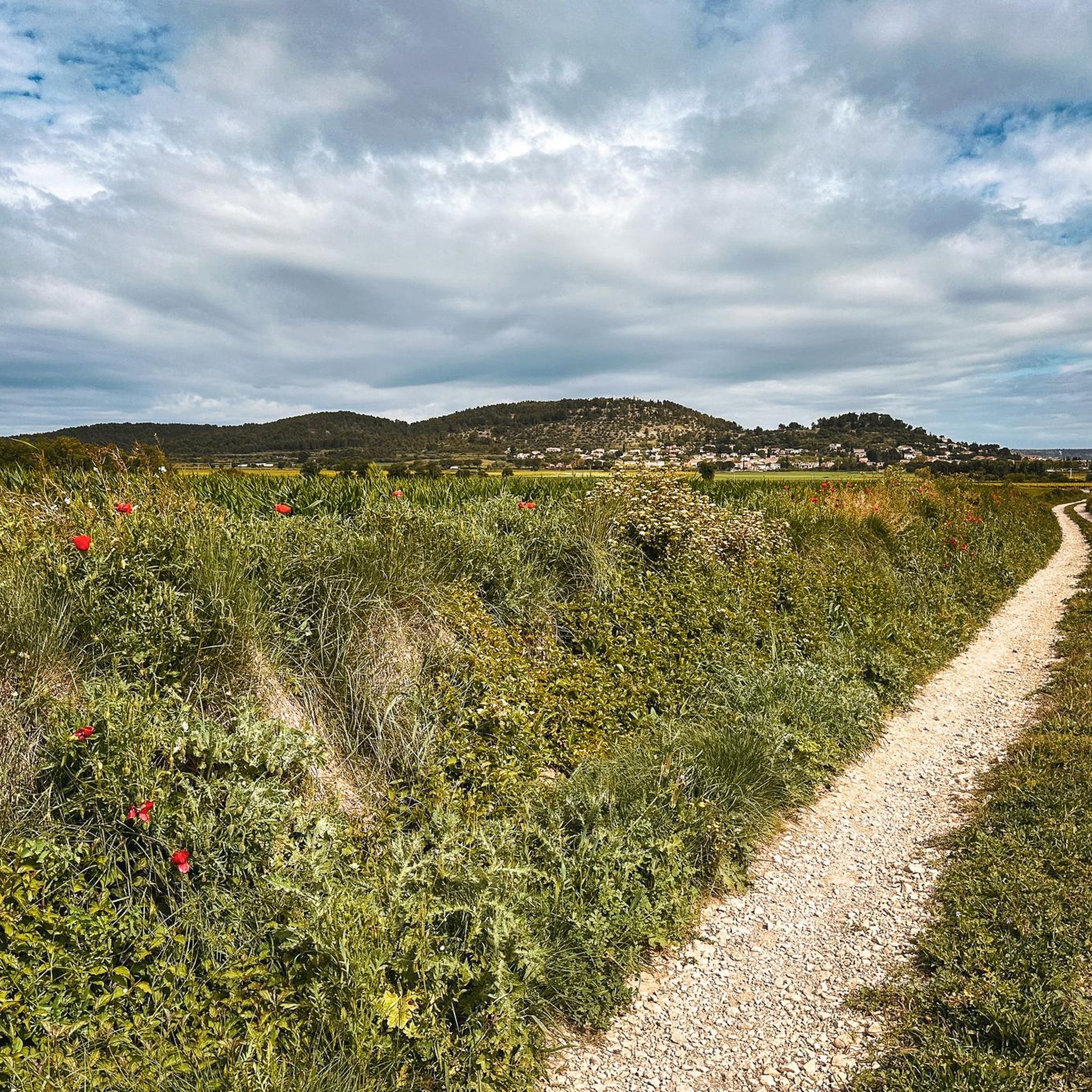

Tips from the Community

Minutes of the city council meeting of June 7, 1877; Mayor: Dr. Gachon "Considering that the destruction of our vineyards by phylloxera has completely changed the nature of our crops, and that these crops now consist almost exclusively of animal fodder, and that a public weighbridge or scale is essential for the sale of this fodder, it is decided to allocate a sum of 1,500 francs for this purpose." The weighbridge was built in 1879 on land owned by the railway company (PLM), near the Glacière Bridge (now the Bonhoure Bridge). In 1926, it was replaced by a new device capable of supporting 20 tons of load instead of 10. The public weighbridge was gradually abandoned after the creation of the cooperative winery in 1929, which had its own weighbridge.
0
0


Beautiful sign of the Via Tolosana in Vauvert
3
0
Directions to Santiago de Compostela with the distance to travel
2
0
Beautiful town along the Via Tolosana
2
0
Veduta di Gallargues-le-Montueux posta su una collina
1
0
Sculpture of the pilgrim of Saint Jacques
0
0
Frequently Asked Questions
How many hiking trails are available around Vergèze?
There are over 200 hiking trails around Vergèze, offering a wide range of options for different skill levels and preferences. The komoot community has explored nearly 2000 of these routes.
What kind of terrain can I expect on hikes near Vergèze?
Hikes around Vergèze typically traverse Mediterranean garrigue and pine forests. You'll find paths offering panoramic views across the Vaunage region, with distant glimpses of the Cévennes mountains. Some routes also follow the banks of the Rhôny river, and the area's proximity to the Camargue provides access to contrasting wetland environments.
Are there any easy hiking trails suitable for beginners or families?
Yes, Vergèze offers a good selection of easier trails. Out of the over 200 routes, 107 are classified as easy, making them suitable for beginners or families looking for a relaxed walk. These often feature shaded paths through pine forests and garrigues.
What interesting landmarks or natural features can I see on hikes around Vergèze?
Many hikes offer historical and natural points of interest. You can explore the ancient Carrières de Junas, an atmospheric landscape of old stone quarries. Trails also lead to sites like the Oppidum of Ambrussum, a Gallo-Roman site, or the Corbières Mill. You might also encounter 'capitelles,' which are traditional dry stone shelters.
Are there any circular hiking routes near Vergèze?
Yes, many routes around Vergèze are circular. For example, the Vauvert loop from Vauvert is a moderate 8.1-mile (13.1 km) trail. Another option is the Haut de Bernis loop from Uchaud, which is a 6.2-mile (10.0 km) moderate hike through garrigue and agricultural areas.
What is the best time of year to go hiking in Vergèze?
The region around Vergèze is pleasant for hiking during spring and autumn when temperatures are mild. Summer can be hot, so early morning or late afternoon hikes are recommended, taking advantage of shaded paths through pine forests. Winter offers cooler, crisp air, ideal for longer walks.
Are there any dog-friendly hiking trails in the area?
Many trails around Vergèze are suitable for dogs, especially those through the garrigue and pine forests. It's always advisable to keep your dog on a leash, particularly in areas with wildlife or near agricultural land, and to carry enough water for both yourself and your pet.
What do other hikers enjoy most about hiking in Vergèze?
The hiking routes in Vergèze are highly rated by the komoot community, with an average score of 4.5 stars from over 370 reviews. Hikers often praise the diverse landscapes, from shaded forests to open garrigue, and the historical points of interest found along the trails.
Are there any hikes that offer views of the Camargue or distant mountains?
Yes, several trails provide expansive views. Routes leading to the Oppidum de Nages, for instance, offer panoramic vistas across the Vaunage region, with the Cévennes mountains visible in the distance. You can also catch glimpses of the sea and Pic-Saint-Loup, and the region's proximity allows for access to the unique wetlands of the Camargue.
Where can I find parking for hiking trailheads near Vergèze?
Parking is generally available near the starting points of many trails in and around Vergèze and its surrounding villages like Vauvert or Uchaud. Specific parking details are often provided on individual route descriptions on komoot, making it easier to plan your trip.
Are there any challenging or longer hikes for experienced hikers?
For experienced hikers seeking a challenge, the region offers more demanding routes. An example is the Parc BMX / Cross freestyle – For the Via Tolosana loop from Le Cailar, a difficult 14.1-mile (22.6 km) path that crosses open landscapes and offers expansive views.
Can I access hiking trails near Vergèze using public transport?
While some trailheads might be accessible via local bus services connecting Vergèze to nearby towns, public transport options can be limited for reaching more remote starting points. It's recommended to check local bus schedules in advance or consider driving to trailheads.
Most popular attractions around Vergèze

Get inspired with the komoot mobile app


Explore more
Browse the best Hikes in other regions.
