The best road cycling routes around Geispitzen
4.5
(286)
4,780
riders
186
rides
Road cycling around Geispitzen features a network of routes traversing varied terrain. The region is characterized by its relatively flat sections interspersed with gentle ascents, providing a mix of challenges for road cyclists. Routes often follow river valleys and pass through agricultural landscapes, with some offering views of distant hills. The area provides opportunities for both longer distance road cycling routes and shorter, more accessible rides.
Best road cycling routes around Geispitzen
- The most popular road cycling route is Knoeringe…
Last updated: October 11, 2026
4.7
(3)
94
riders
54.1km
02:20
360m
360m
Moderate road ride. Good fitness required. Mostly well-paved surfaces and easy to ride.
4.9
(16)
76
riders
49.9km
02:09
380m
380m
Moderate road ride. Good fitness required. Mostly well-paved surfaces and easy to ride.

5.0
(4)
61
riders
48.6km
02:04
370m
370m
Moderate road ride. Good fitness required. Mostly well-paved surfaces and easy to ride.
4.0
(1)
32
riders
28.3km
01:14
70m
70m
Easy road ride. Great for any fitness level. Mostly well-paved surfaces and easy to ride.
4.0
(2)
21
riders
26.2km
01:22
90m
100m
Easy road ride. Great for any fitness level. Mostly well-paved surfaces and easy to ride.
Get access to more routes and recommendations from other explorers.
Already have an account?
Our route recommendations are based on thousands of hikes, rides, and runs completed by other people on komoot.
Start today with a free account
Your next adventure awaits.

Tips from the Community

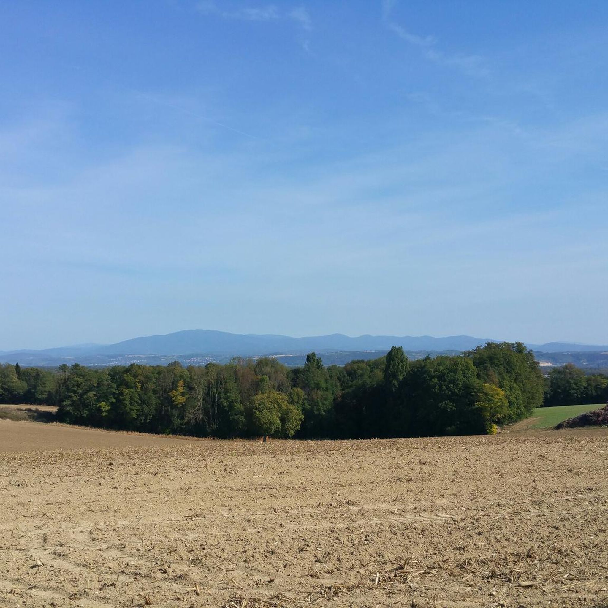
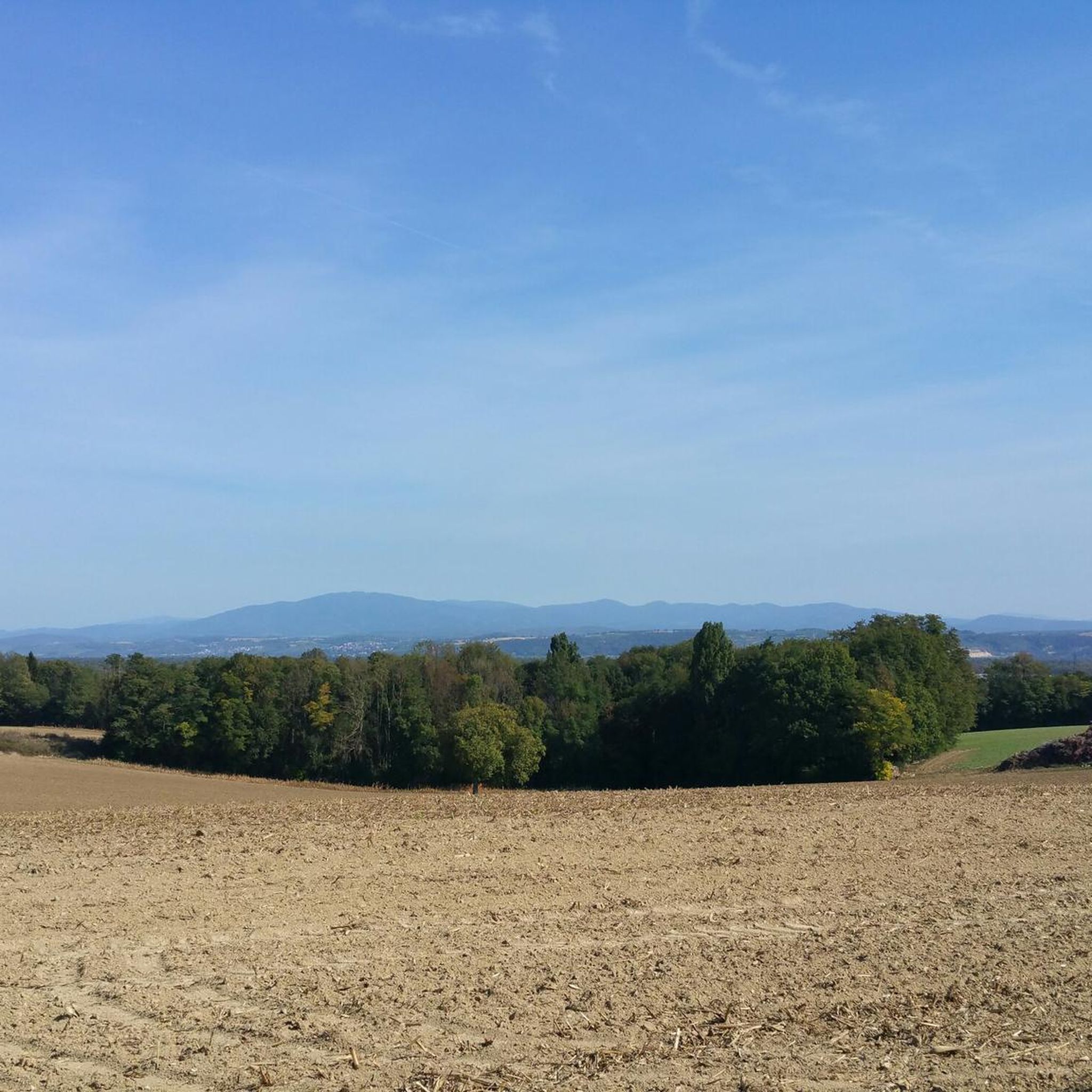
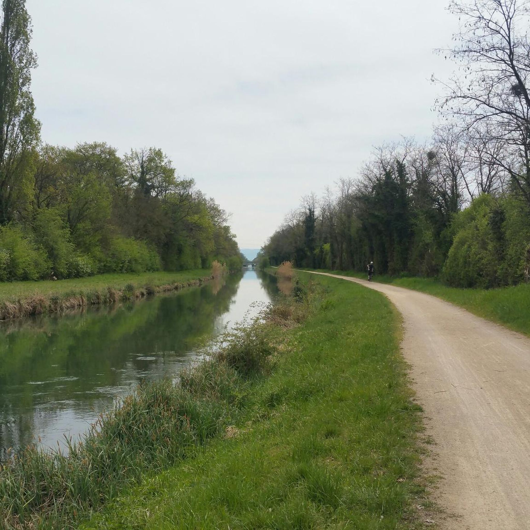
Trail on its own right-of-way. Partially shaded. Presence of benches here and there for pleasant breaks.
0
0
Cyclists completely sheltered from cars. Bleak landscape.
0
0


The Le Corbusier lock deserves to be highlighted.
0
0

A sign has now been posted: "No drinking water."
0
0

beautiful and away from traffic
0
0

A nice smooth route leading from Hegenheim to Oltingue, however there is at times moderate traffic on the route, especially during the peak working hours with commuter traffic. Up at the top of this small climb, there are great views of Basel and the 3-Country area.
0
0

Frequently Asked Questions
How many road cycling routes are available around Geispitzen?
There are over 200 road cycling routes documented on komoot for the Geispitzen area, catering to various skill levels. Approximately 37 of these are classified as easy, 125 as moderate, and 38 as difficult.
Are there easy road cycling routes suitable for beginners in Geispitzen?
Yes, Geispitzen offers a good selection of routes for beginners. For example, the Saint-Rémy Church – Château de Hégenheim loop from Sierentz is an easy 28.1 km path with minimal elevation gain, perfect for those starting out.
What kind of terrain can I expect on road cycling routes in Geispitzen?
Road cycling around Geispitzen is characterized by relatively flat sections, often following river valleys and passing through agricultural landscapes. You'll also find gentle ascents and some routes offering views of distant hills, providing a varied experience.
Are there any longer distance road cycling routes near Geispitzen?
Yes, the region provides opportunities for longer rides. Routes like the Knoeringe > Jettingen – Drinking Water Fountain loop from Sierentz, at 54.1 km, or the Pretty village center 🏘 – Knoeringe > Jettingen loop from Sierentz, at 49.9 km, offer substantial distances for endurance cyclists.
Can I find road cycling routes with significant elevation gain in Geispitzen?
While many routes feature gentle terrain, some do include notable elevation gain. For instance, the Knoeringe > Jettingen – Drinking Water Fountain loop from Sierentz includes over 350 meters of elevation gain, offering a moderate challenge.
What do other road cyclists enjoy most about road cycling in Geispitzen?
The area is highly rated by the komoot community, with an average score of 4.5 stars from over 200 reviews. Cyclists often praise the mix of open roads, charming local villages, and the scenic riverside areas that define many of the routes.
Are there circular road cycling routes available in Geispitzen?
Yes, many of the routes around Geispitzen are designed as loops, allowing you to start and finish at the same point. Examples include the Riverside open-air tavern – Wittersdorf loop from Sierentz and the It's gravel, but easy to ride loop from Sierentz.
What kind of scenic viewpoints or attractions can I find along the road cycling routes?
The routes often pass through picturesque agricultural fields and river plains. You can also find natural highlights such as the Istein Rapids or the Isteiner Klotz and the Cliff Chapel. For panoramic views, consider highlights like the Mittlere Au Observatory or the Jean Rolland Observatory n°12.
Are there any routes that pass by lakes or water features?
Yes, some routes will take you near water features. The Riverside open-air tavern – Wittersdorf loop from Sierentz, for example, leads through riverside areas. You might also encounter highlights like the Steinenstadt Gravel Lake or various ponds in the wider region.
Are there routes that pass through charming villages or offer cultural sights?
Absolutely. Many routes weave through local villages, offering a glimpse into the regional culture. The Pretty village center 🏘 – Knoeringe > Jettingen loop from Sierentz is a great example, passing through local villages. You might also encounter historical sites like the Landhaus Ettenbühl English Landscape Gardens or the Bad Bellingen Spa Park.
What is the best time of year for road biking in Geispitzen?
The region is generally pleasant for road cycling from spring through autumn. The agricultural landscapes are particularly vibrant in spring and summer, while autumn offers cooler temperatures and beautiful foliage. Always check local weather conditions before heading out.
Most popular routes around Geispitzen
Most popular attractions around Geispitzen

Get inspired with the komoot mobile app


Explore more
Browse the best Road cycling routes in other regions.
