The best walks and hikes around Saint-André-D'Olérargues
4.4
(993)
4,729
hikers
224
hikes
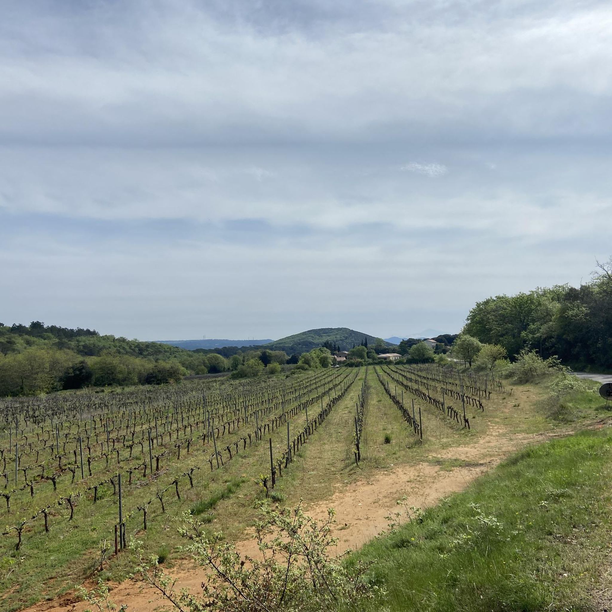
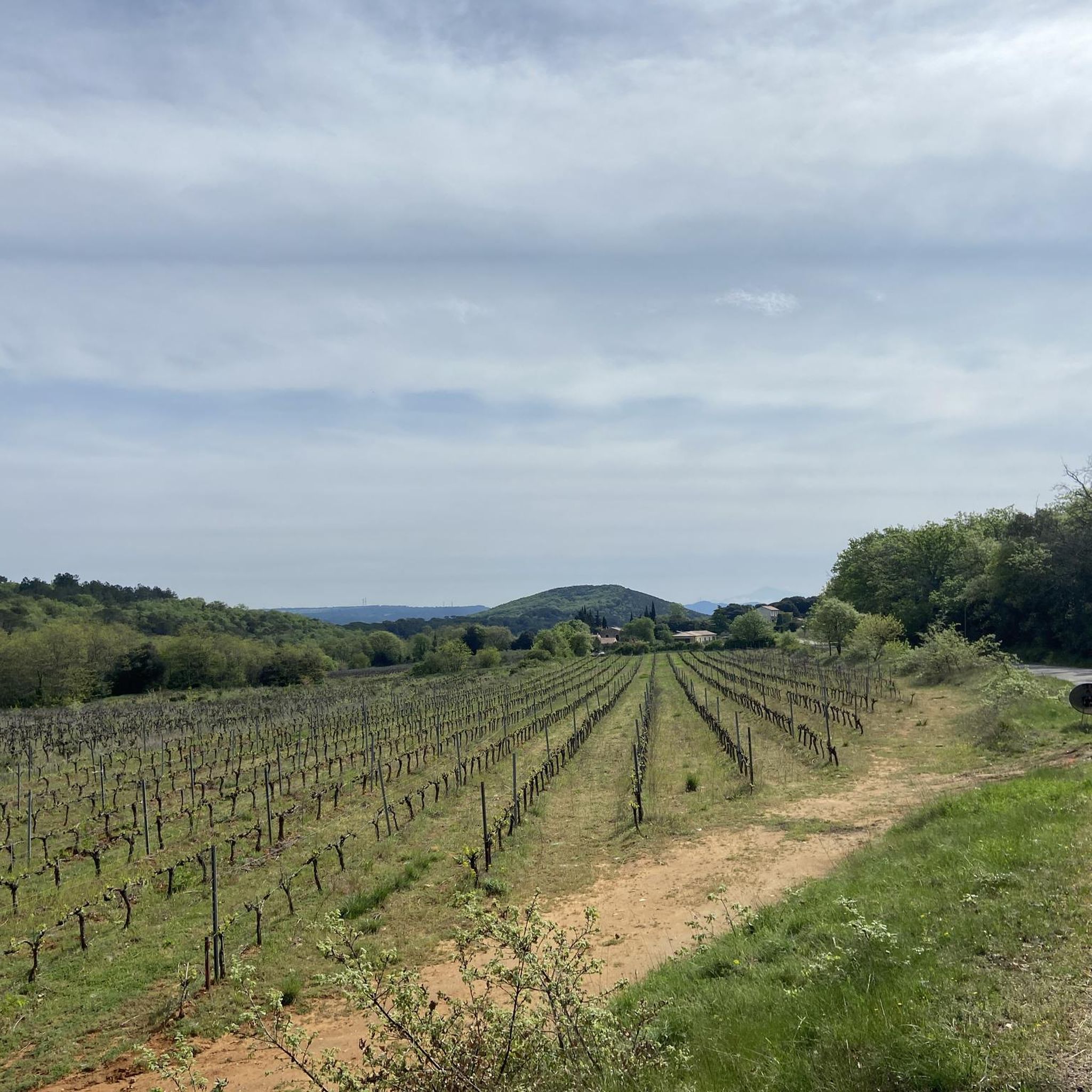
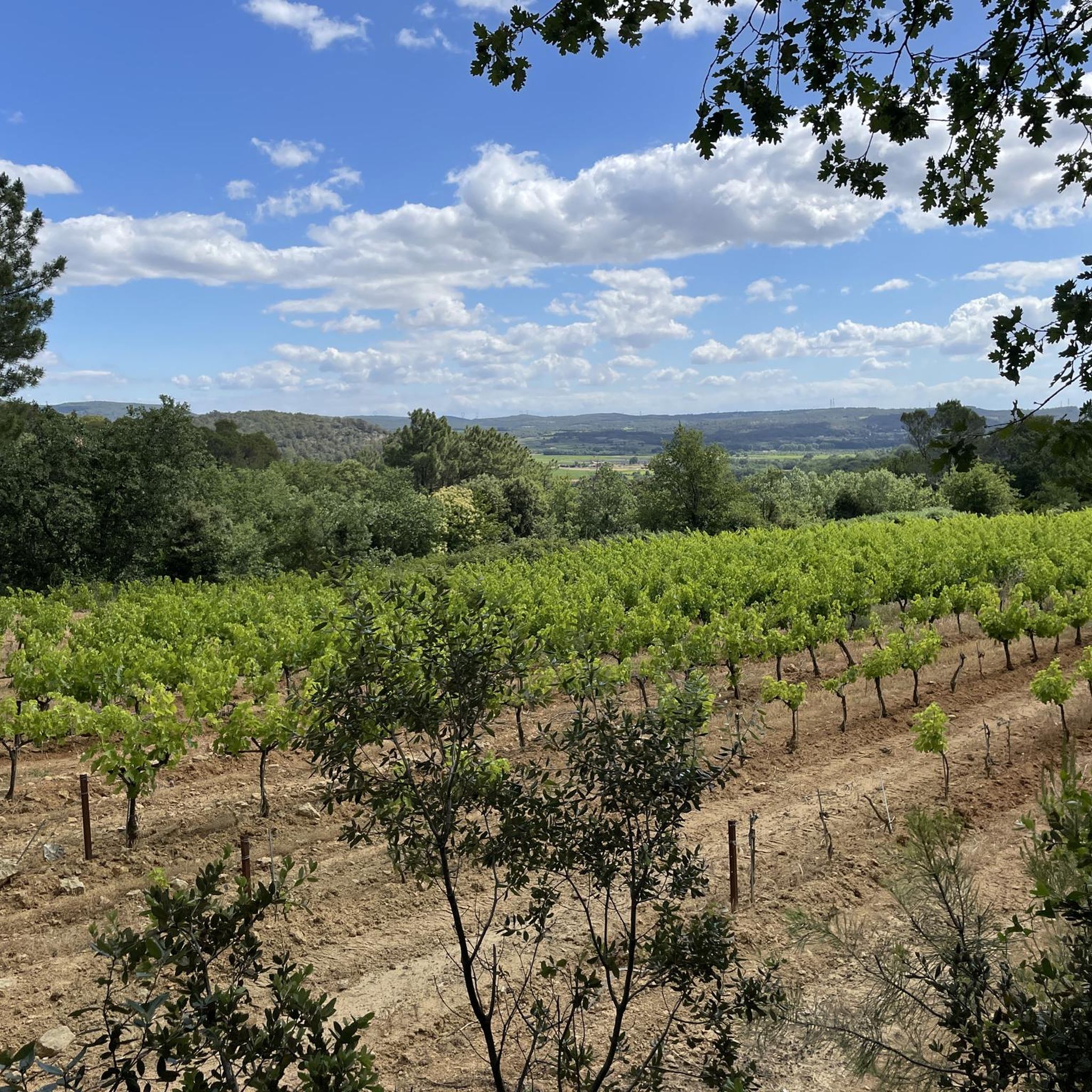
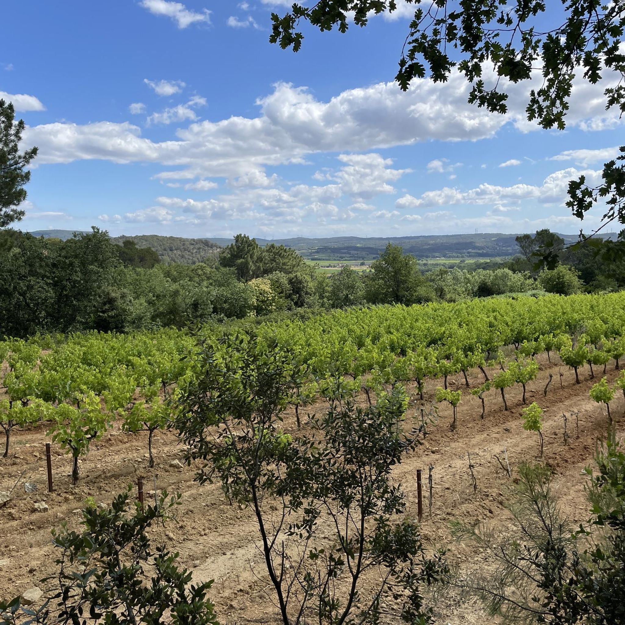
Hiking around Saint-André-D'Olérargues offers diverse landscapes, characterized by river gorges, waterfalls, and extensive woodlands. The region, located in the Gard department, provides a natural setting for outdoor activities. Hikers can explore areas featuring dramatic natural spectacles and varied terrain, including vineyards and hills, with altitudes ranging from 86 to 263 meters.
Best hiking trails around Saint-André-D'Olérargues
- The most popular hiking route is Sautadet Waterfalls – La Roque-sur-Cèze loop from La Roque-sur-Cèze, a 4.3 miles (6.9 km) trail that takes…
Last updated: June 25, 2026
4.4
(17)
88
hikers
13.0km
03:38
250m
250m
Moderate hike. Good fitness required. Easily-accessible paths. Suitable for all skill levels.
4.1
(14)
60
hikers
8.10km
02:18
180m
180m
Moderate hike. Good fitness required. Easily-accessible paths. Suitable for all skill levels.

Sign up for free
5.0
(1)
10
hikers
9.32km
02:37
190m
180m
Moderate hike. Good fitness required. Easily-accessible paths. Suitable for all skill levels.
6
hikers
3.69km
00:59
50m
40m
Easy hike. Great for any fitness level. Easily-accessible paths. Suitable for all skill levels.
5.0
(1)
3
hikers
4.19km
01:12
100m
110m
Easy hike. Great for any fitness level. Easily-accessible paths. Suitable for all skill levels.
Get access to more routes and recommendations from other explorers.
Sign up for free
Already have an account?
Our route recommendations are based on thousands of hikes, rides, and runs completed by other people on komoot.
Start today with a free account
Your next adventure awaits.
Login or Signup
Tips from the Community

A functioning traffic light system allows the use of the bridge by cars. If there are also pedestrians on the bridge, it gets tight.
0
0

Built to carry the road linking Uzès to Pont-Saint-Esprit, the main gateway of the former bishopric to the Rhône Valley, it boasts an exceptional length of 155 meters. The bridge is built directly onto the bedrock. To withstand the onslaught of the Cèze River's floods, this structure, with its 12 semicircular arches, is equipped with robust cutwaters at the front and rear of the piers. This strength was severely tested during the once-in-a-century flood of 2002, which partially submerged it. It was restored in 2014.
0
0
The castle and its chapel were built in the 12th century for defensive purposes. The viewpoint at the foot of the chapel offers a magnificent view over the Cèze valley. Private property, the castle and chapel are not open to the public.
0
0

A nice restaurant, very good Mas du Belier in La Roque-sur-Céze.
0
0

beautiful little place, invites you to take a walk
0
0

La Roque-sur-Cèze is a rural commune with a population of 174 in 2022, having peaked at 369 in 1806. It is part of the Bagnols-sur-Cèze catchment area. Its inhabitants are called Roquairols or Roquairoles. The commune's architectural heritage includes two buildings protected as historic monuments: the funerary cippus, listed in 1912, and the Charles-Martel Bridge over the Cèze, listed in 1980.
0
0
Very pretty bucolic bridge over the Cèze.
0
0

Frequently Asked Questions
How many hiking trails are available around Saint-André-D'Olérargues?
There are over 220 hiking routes around Saint-André-D'Olérargues, offering a wide range of options for all skill levels. This includes 91 easy trails, 124 moderate routes, and 6 more challenging hikes.
What kind of natural features can I expect to see on hikes near Saint-André-D'Olérargues?
The region is rich in natural beauty, featuring diverse terrain from lush forests and vineyards to impressive gorges and hills. A prominent highlight is the Cèze River, which has carved out stunning features like The Sautadet Waterfalls, located just 5 km from Saint-André-D'Olérargues. You can also find panoramic views of the valley, and even Mont Ventoux on clear days.
Are there any family-friendly hiking options in the area?
Yes, many of the 91 easy routes are suitable for families. For example, the The Sautadet Waterfalls – View of the Cèze Valley loop from La Roque-sur-Cèze is an easy 3.9 km trail that offers beautiful scenery without being too strenuous, perfect for a family outing.
Can I find circular walks around Saint-André-D'Olérargues?
Yes, many of the trails in the area are circular, allowing you to start and end at the same point. A popular option is the Sautadet Waterfalls – La Roque-sur-Cèze loop from La Roque-sur-Cèze, an easy 6.9 km route that takes you past the impressive Cascades de Sautadet.
What do other hikers say about the trails in Saint-André-D'Olérargues?
The hiking trails around Saint-André-D'Olérargues are highly rated by the komoot community, with an average score of 4.4 stars from over 1000 reviews. Hikers often praise the diverse landscapes, the stunning waterfalls, and the well-maintained paths that cater to various difficulty levels.
Are there any interesting villages or landmarks to explore near the hiking routes?
Absolutely. The area is dotted with charming villages and historical sites. You can visit La Roque-sur-Cèze, classified as one of France's 'Most Beautiful Villages,' or explore Goudargues, often called 'the little Venice of the Gard' due to its canals. Many hikes offer views of these picturesque settlements and natural landmarks like View of the Cèze Valley.
What are some notable natural attractions accessible via hiking trails?
Beyond the famous The Sautadet Waterfalls, hikers can explore the dramatic Gorges de l'Ardèche Nature Reserve (15-21 km away) or the unique Bois de Païolive (29-34 km away), known for its distinctive rock formations. The region also features impressive cave systems like Aven d'Orgnac and Grotte de Saint-Marcel, though these typically require separate visits.
Are there any longer, more challenging hikes for experienced trekkers?
While the majority of routes are easy to moderate, there are 6 difficult trails for those seeking a greater challenge. For a moderate, longer option, consider The Sautadet Waterfalls – View of La Roque-sur-Cèze loop from La Roque-sur-Cèze, an 8.3-mile (13.4 km) path that offers extensive views of the Cèze Valley and the waterfalls.
What is the best time of year to go hiking in Saint-André-D'Olérargues?
The region is enjoyable for hiking throughout much of the year. Spring and autumn offer pleasant temperatures and vibrant scenery, with lavender fields blooming in early summer. Even winter can be suitable for hiking, though checking local weather conditions is always recommended.
Are there opportunities for wild swimming or water activities near the hiking trails?
Yes, the Cèze and Ardèche rivers provide excellent opportunities for water activities. While hiking, you might discover spots suitable for swimming, canoeing, kayaking, or paddleboarding, especially around the Cèze River and its features like the Cascades du Sautadet.
What kind of terrain can I expect on the hiking trails?
The terrain around Saint-André-D'Olérargues is quite varied. You'll encounter paths through lush forests, picturesque vineyards, and along riverbanks. The altitude ranges from 86m to 263m, meaning some routes will involve gentle ascents and descents, offering a good mix of flat sections and rolling hills.
Can I combine hiking with other outdoor activities in the area?
Absolutely. The Gard department is a paradise for outdoor enthusiasts. Besides hiking, you can enjoy cycling on trails suitable for all levels, horseback riding (with options like Manade du Joncas in Saint-André-D'Olérargues), and various water sports on the Cèze and Ardèche rivers, including canoeing and swimming.
Most popular routes around Saint-André-D'Olérargues
Most popular attractions around Saint-André-D'Olérargues

Get inspired with the komoot mobile app


Explore more
Browse the best Hikes in other regions.
