The best road cycling routes around Saint-Igeaux
4.8
(13)
829
riders
123
rides
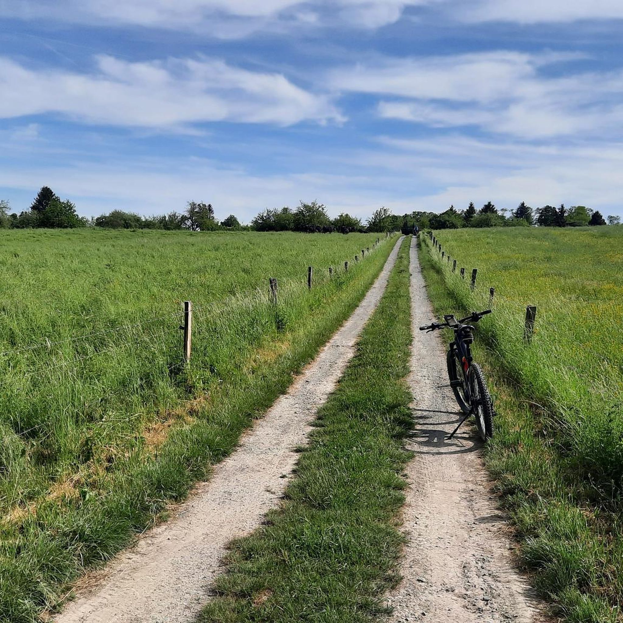
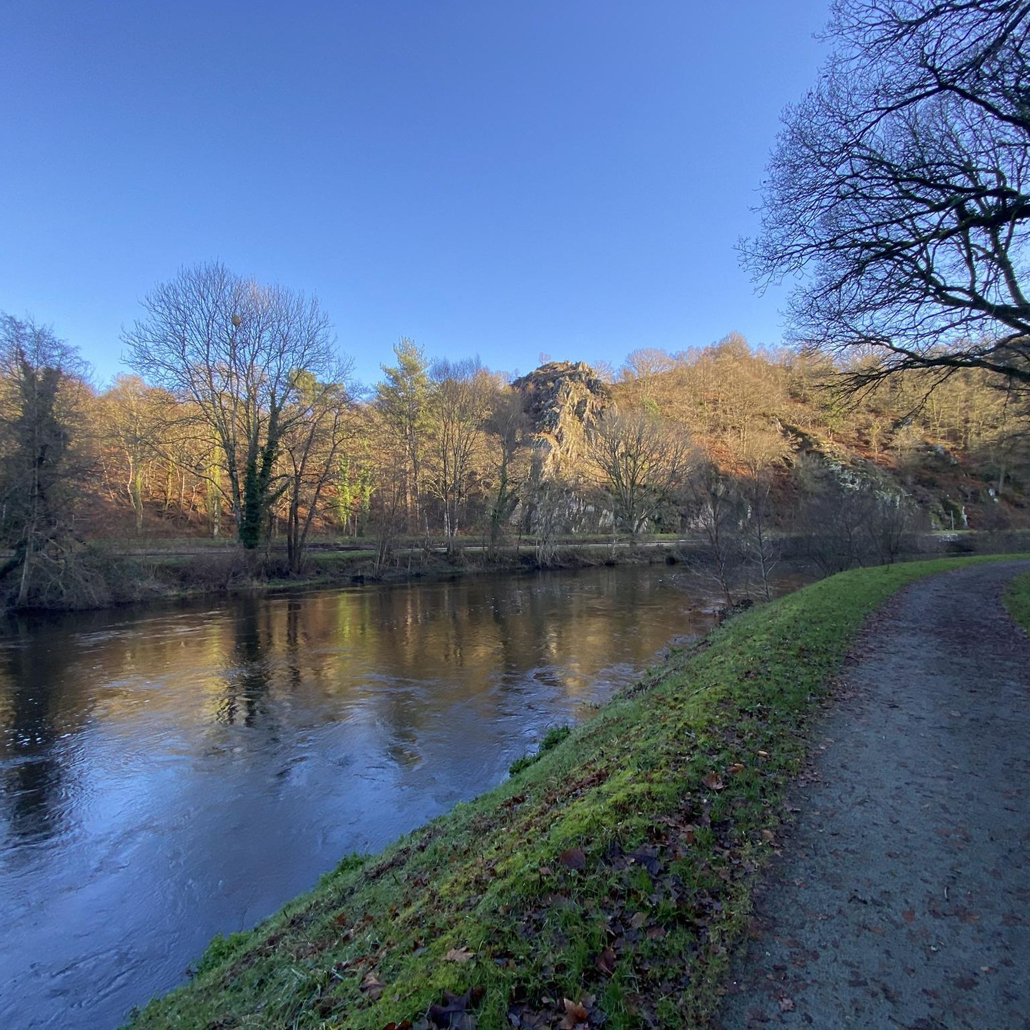
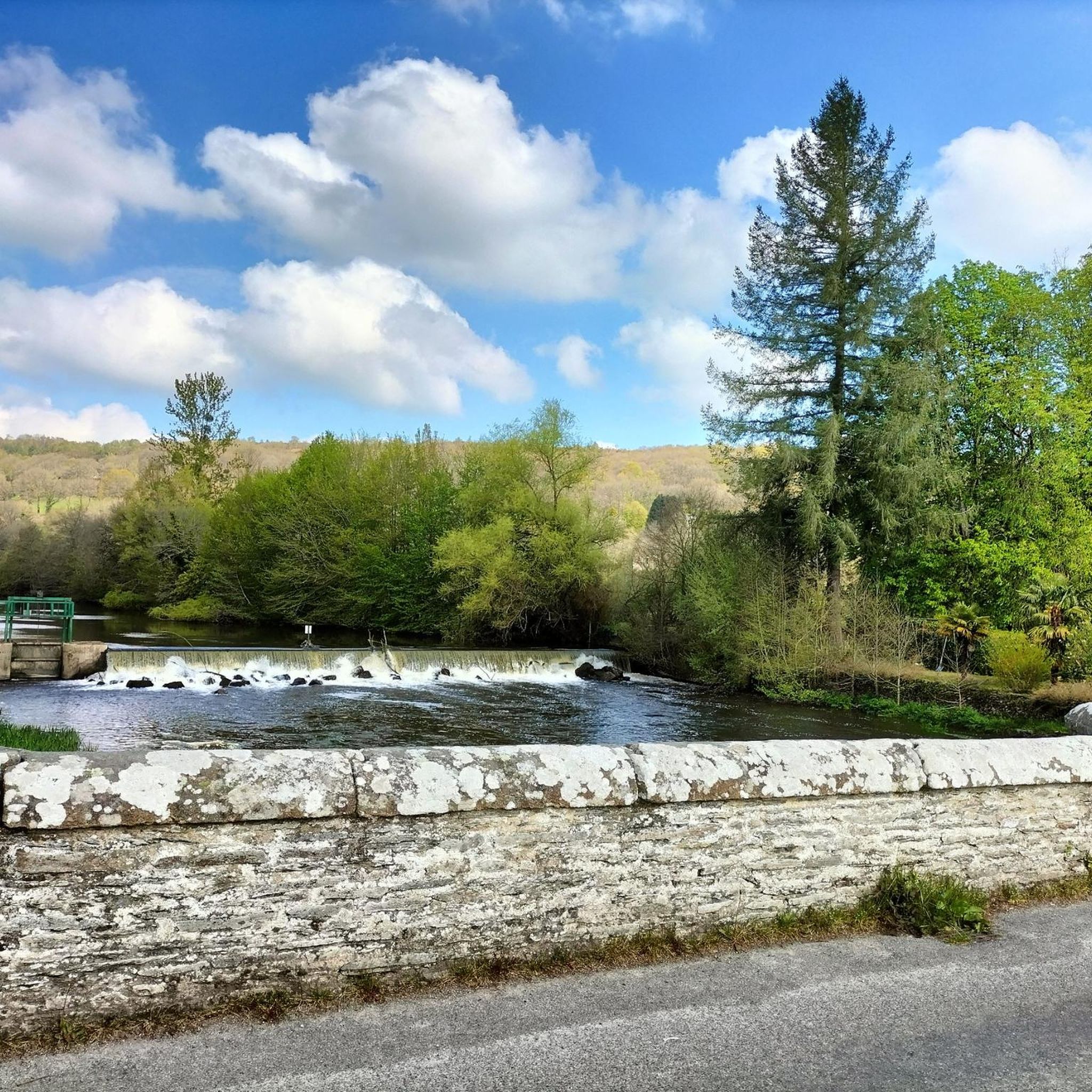
Road cycling routes around Saint-Igeaux traverse a landscape characterized by rolling hills and dense woodlands. The region features a "bumpy plateau" with altitudes generally between 180 and 220 meters, providing varied gradients for cyclists. The green countryside, marked by traditional bocage, offers scenic backdrops for rides through agricultural land and wooded areas. River valleys, such as those of the Sulon and Corlay, add to the diverse terrain.
Best road cycling routes around Saint-Igeaux
- The most popular road cycling route is…
Last updated: July 7, 2026
5.0
(2)
81
riders
40.8km
01:55
470m
470m
Moderate road ride. Good fitness required. Some segments of this route may be unpaved and difficult to ride.
4.0
(1)
13
riders
45.1km
02:02
410m
410m
Moderate road ride. Good fitness required. Some segments of this route may be unpaved and difficult to ride.

Sign up for free
7
riders
Moderate road ride. Good fitness required. Some segments of this route may be unpaved and difficult to ride.
1
riders
40.7km
01:54
420m
420m
Moderate road ride. Good fitness required. Some segments of this route may be unpaved and difficult to ride.
3
riders
34.1km
01:38
380m
380m
Moderate road ride. Good fitness required. Some segments of this route may be unpaved and difficult to ride.
Get access to more routes and recommendations from other explorers.
Sign up for free
Already have an account?
Our route recommendations are based on thousands of hikes, rides, and runs completed by other people on komoot.
Start today with a free account
Your next adventure awaits.
Login or Signup


Tips from the Community

Here the origin of the path can be seen: it was an old railway. The old station is well maintained.
0
0
An imposing bridge from the old railway.
0
0
A path often in the shade, well maintained.
0
0
The reconstruction is great! But we left some parts in ruins, which preserves the character of an old building.
0
0

Very beautiful walk between the Abbey of Bon Repos and the lily-covered paths. Beautiful moorland landscape.
0
0

Very nice place on this route
0
0

Charming little church with the particularity of having three bells at the level of the church parking lot.
0
0
Frequently Asked Questions
How many road cycling routes are available around Saint-Igeaux?
There are over 115 road cycling routes available around Saint-Igeaux, catering to various skill levels from easy to difficult. The region's diverse terrain, with rolling hills and dense woodlands, offers a dynamic cycling experience.
Are there any easy road cycling routes suitable for beginners in Saint-Igeaux?
Yes, Saint-Igeaux offers 9 easy road cycling routes. These routes typically feature gentler gradients and shorter distances, making them ideal for beginners or those looking for a relaxed ride through the scenic countryside.
What are some challenging road cycling routes for experienced cyclists?
For experienced cyclists seeking a challenge, Saint-Igeaux has 18 difficult routes. A notable option is the Dreamlike path through the woods – Church of Pulat Plestivien loop from Saint-Nicolas-du-Pélem, a 57.0-mile (91.7 km) trail with significant elevation gain, often completed in about 4 hours 21 minutes.
Are there any circular road cycling routes around Saint-Igeaux?
Many of the road cycling routes in Saint-Igeaux are designed as loops. For example, the popular Col du Marhalla — loop from Corlay is a 35.1-mile (56.5 km) circular trail featuring notable climbs and scenic countryside.
What kind of landmarks or attractions can I see along the road cycling routes?
Road cycling routes in Saint-Igeaux often pass by historical and natural landmarks. You can explore sites like the historic Bon-Repos Abbey, the Lock No. 138 of Bon Repos, or enjoy views of Guerlédan Dam and Lake Guerlédan. The Bon-Repos Abbey – Lock No. 138 of Bon Repos loop from Laniscat specifically explores these historical landmarks.
What is the best time of year to go road cycling in Saint-Igeaux?
The best time for road cycling in Saint-Igeaux is typically from spring to early autumn (April to October). During these months, the weather is generally milder and more stable, making for pleasant riding conditions through the region's rolling hills and woodlands.
What do other road cyclists enjoy most about the routes in Saint-Igeaux?
The road cycling routes in Saint-Igeaux are highly rated by the komoot community, with an average score of 4.5 stars from over 10 reviews. Cyclists often praise the varied terrain, which includes a mix of ascents and flatter sections, and the scenic passages through dense woodlands and along river valleys.
Are there any routes that offer particularly good viewpoints?
Yes, many routes offer scenic vistas. The region's rolling hills provide numerous opportunities for elevated views. While specific viewpoints are not always marked, routes passing near Lake Guerlédan, such as those in the vicinity of the View of Lake Guerlédan, are known for their picturesque scenery.
What is the typical duration for road cycling routes in Saint-Igeaux?
Route durations vary significantly based on distance and difficulty. For instance, a moderate route like the Col du Marhalla — loop from Corlay takes approximately 2 hours 33 minutes, while a more challenging 57.0-mile (91.7 km) trail can take around 4 hours 21 minutes.
Are there any family-friendly road cycling options in the area?
While specific 'family-friendly' designations are not provided for road cycling, the 9 easy routes available are generally suitable for families with older children or those looking for less strenuous rides. These routes often feature smoother terrain and shorter distances.
Is public transport available to access the cycling trails around Saint-Igeaux?
Accessing specific trailheads directly by public transport can be limited in rural areas like Saint-Igeaux. It is often more convenient to drive to a starting point, especially for carrying bikes. However, some larger towns nearby may have bus services that could get you closer to the region.
Where can I find parking for road cycling routes in Saint-Igeaux?
Parking is generally available in the villages and towns from which routes typically start, such as Corlay, Laniscat, or Saint-Nicolas-du-Pélem. Look for public parking areas within these communities, often near churches or town centers, which serve as convenient starting points for many loops.
Most popular routes around Saint-Igeaux
Most popular attractions around Saint-Igeaux

Get inspired with the komoot mobile app


Explore more
Browse the best Road cycling routes in other regions.
