The best walks and hikes around Revens
4.5
(399)
2,805
hikers
109
hikes
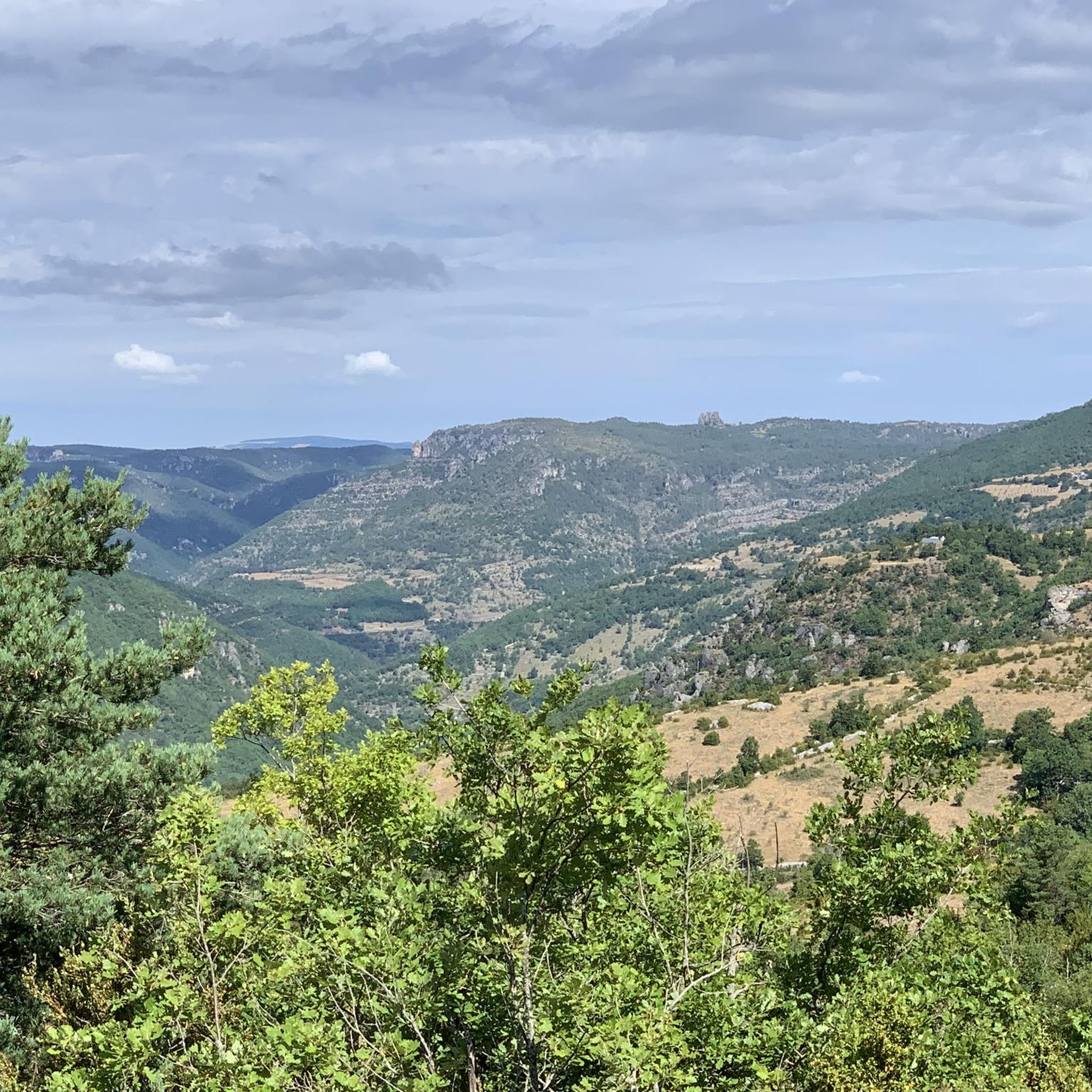
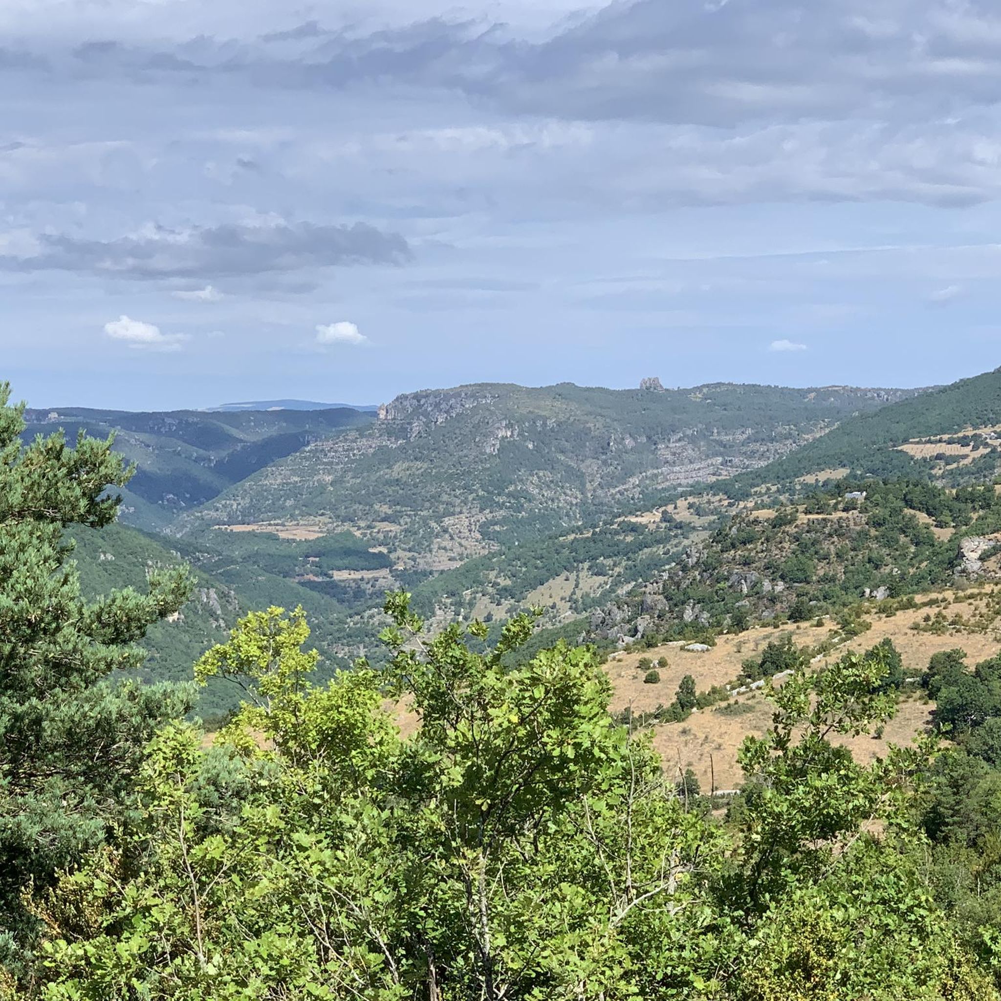
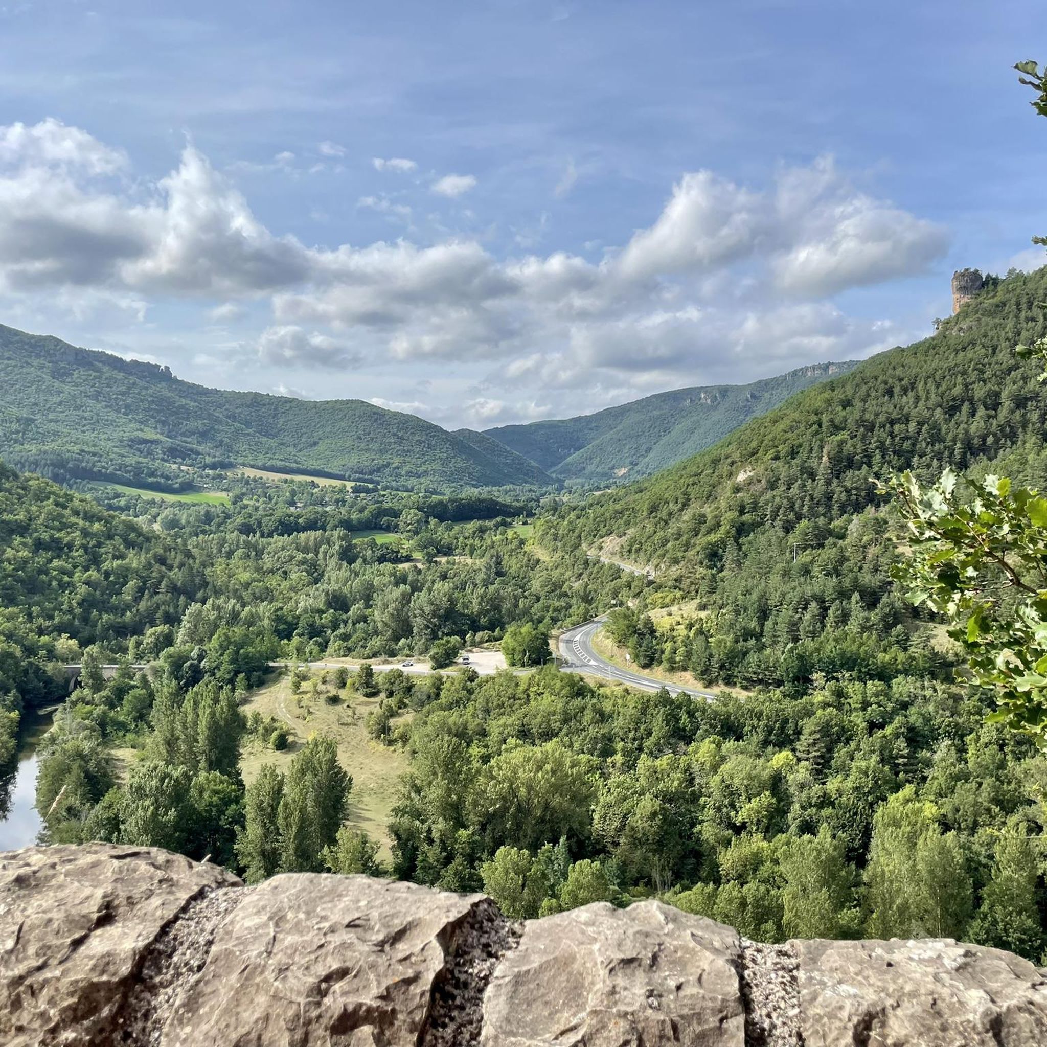
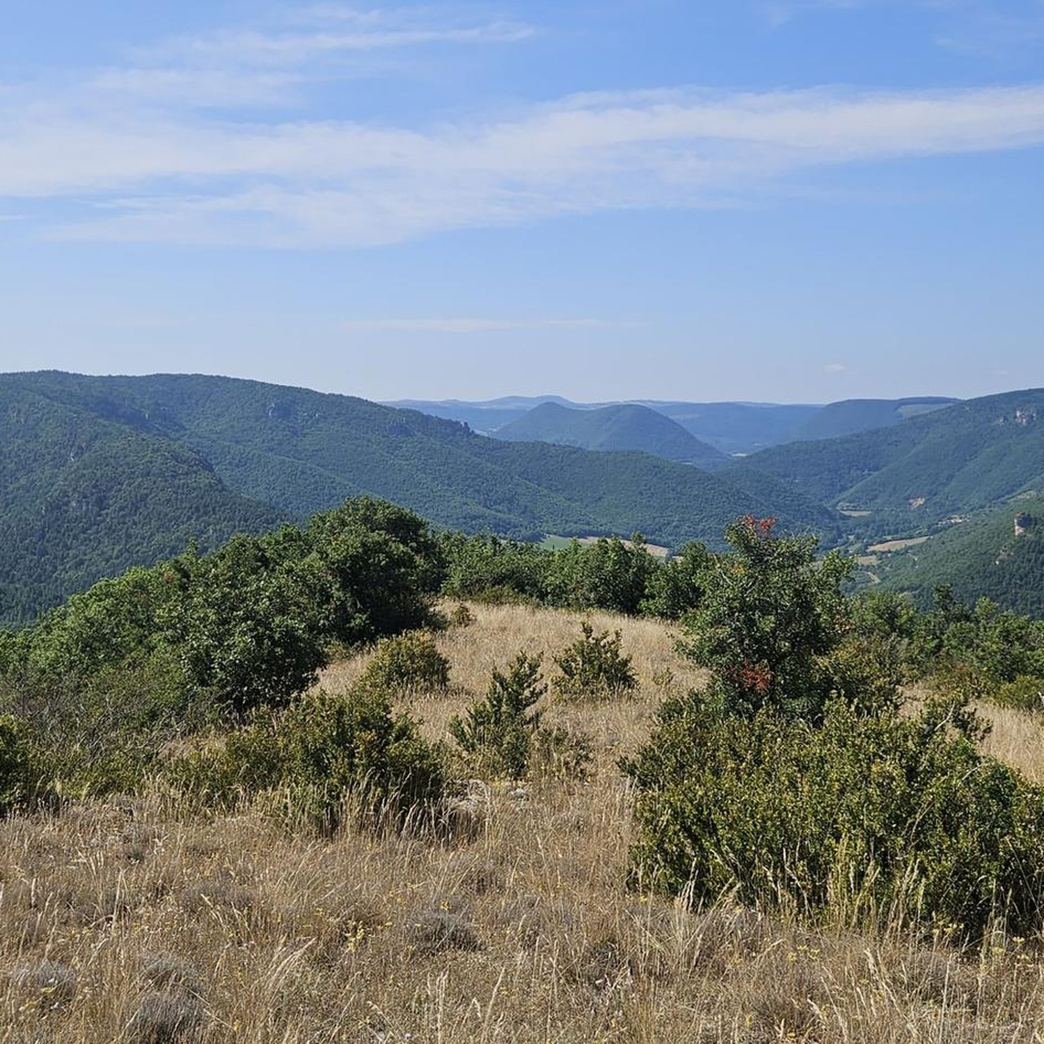
Hiking around Revens offers diverse trails through a landscape characterized by river valleys, historic villages, and elevated viewpoints. The region features a mix of terrain, from gentle riverside paths to more challenging routes with significant elevation gain. Hikers can explore areas around perched villages and ancient structures, providing varied scenery.
Best hiking trails around Revens
- The most popular hiking route is Cantobre – Views of Nant loop from Cantobre, an 8.3 miles (13.3 km) trail that takes 4 hours…
Last updated: June 24, 2026
4.8
(15)
90
hikers
13.9km
04:22
500m
490m
Moderate hike. Good fitness required. Easily-accessible paths. Suitable for all skill levels.
4.5
(22)
76
hikers
7.75km
02:29
320m
330m
Moderate hike. Good fitness required. Easily-accessible paths. Suitable for all skill levels.

Sign up for free
4.0
(6)
66
hikers
Easy hike. Great for any fitness level. Easily-accessible paths. Suitable for all skill levels.
4.5
(8)
43
hikers
7.65km
02:31
350m
350m
Moderate hike. Good fitness required. Easily-accessible paths. Suitable for all skill levels.
4.5
(6)
22
hikers
8.32km
02:13
90m
90m
Moderate hike. Good fitness required. Easily-accessible paths. Suitable for all skill levels.
Get access to more routes and recommendations from other explorers.
Sign up for free
Already have an account?
Our route recommendations are based on thousands of hikes, rides, and runs completed by other people on komoot.
Start today with a free account
Your next adventure awaits.
Login or Signup
Tips from the Community

shady place to relax by the water
0
0

This small town in Aveyron is located in the middle valley of the Dourbie. It is especially famous for its architectural heritage with no less than seven buildings protected as historic buildings. For nature lovers, know that this small town is nestled in the middle of several areas protected by the Natura 2000 label which reinforces the regulations of the Grands Causses regional natural park on targeted sensitive areas.
1
0

The existence of the village dates back to the installation of the Benedictine monastery in the year 926. Installed on a Roman road, it has prospered over the centuries thanks to the presence of the Durzon and Dourbie rivers which cross the municipality.
1
0
Nice view of the village of Cantobre and the Grands Causses from the banks of the Dourbie. This village served as a lookout post since Roman times.
3
0

The Roc Nantais is a rock in the shape of a monumental tower dominating the Dourbie at 808m. It obviously offers a magnificent viewpoint from which to admire the Larzac and the foothills of the Cévennes (on the left), the St-Alban (opposite) and the Causse des Cuns (on the right).
1
0
Magnificent path bordering the ledge overlooking the Dourbie and offering magnificent viewpoints.
0
0


Large face of stone firmly anchored in the Causse Bégon, as if it sheltered a giant whose only head would be visible. A nice climb to reach the top of the rock, but it would be a shame to miss the breathtaking view of the valley and the village of Nant. It is a real must in the region, the climb is worth it! There are several access paths, more or less difficult depending on the desire and the level, and the ascent can also be done from Cantobre or from Saint-Jean-du-Bruel.
0
0
Frequently Asked Questions
How many hiking trails are available around Revens?
Revens offers a wide selection of hiking opportunities, with over 100 trails documented on komoot. These range from easy riverside strolls to more challenging routes with significant elevation gain.
Are there easy hiking routes suitable for beginners in Revens?
Yes, Revens has 26 easy hiking routes perfect for beginners or those seeking a relaxed walk. A great option is the Pont Ancien de la Prade – Old Stone Bridge and Riverbank loop from Camping du Val de Cantobre, which is 4.0 miles long and takes about 1 hour 43 minutes.
What kind of scenery can I expect on hikes around Revens?
The landscape around Revens is diverse, featuring picturesque river valleys, historic perched villages, and elevated viewpoints offering expansive vistas. You'll encounter a mix of natural beauty and ancient structures.
Are there any circular walks in Revens?
Many trails in Revens are designed as circular routes, allowing you to start and end at the same point. For example, the moderate Cantobre – Views of Nant loop from Cantobre is an 8.3-mile circular trail offering expansive views.
What are some interesting landmarks or natural attractions to see while hiking in Revens?
Revens is rich in points of interest. You can explore the historic Cantobre, perched village, marvel at the rock formations of Le Roc Nantais, or visit the dramatic Belvedere Montpellier le vieux gorge. The region also features unique geological sites like La Cité de Pierres Rock Formations.
What do other hikers say about the trails in Revens?
The komoot community highly rates the trails in Revens, with an average score of 4.5 stars from over 380 reviews. Hikers often praise the varied terrain, the charm of the perched villages, and the scenic viewpoints.
Are there any hikes that explore the historic villages in the Revens area?
Absolutely. The Cantobre, perched village – Cantobre loop from Camping du Val de Cantobre is a moderate 4.8-mile path specifically designed to explore the historic perched village of Cantobre and its immediate surroundings.
How long do hikes in Revens typically take?
Hiking durations vary significantly depending on the trail's length and difficulty. For instance, an easy 4.0-mile route like the Pont Ancien de la Prade loop can take under two hours, while a moderate 8.3-mile trail might require over four hours.
Are there any less crowded hiking options around Revens?
While some popular routes can see more foot traffic, Revens has over 100 trails, offering plenty of opportunities to find quieter paths. Exploring some of the lesser-known moderate or difficult routes, or hiking during off-peak hours, can lead to a more solitary experience.
What is the best time of year to go hiking in Revens?
The region's climate generally makes spring and autumn ideal for hiking, with pleasant temperatures and vibrant natural colors. Summer can also be enjoyable, especially for higher-altitude trails or early morning walks to avoid the midday heat. Winter hiking is possible but conditions can vary, so checking local forecasts is advisable.
Are there any hikes that feature riverbanks or old bridges?
Yes, the region's river valleys offer such trails. The Pont Ancien de la Prade – Old Stone Bridge and Riverbank loop from Camping du Val de Cantobre is a great example, leading you along riverbanks and past an ancient stone bridge.
What kind of elevation gain can I expect on trails in Revens?
Revens offers a range of elevation profiles. Easy trails might have minimal gain, such as the Pont Ancien de la Prade loop with about 63 meters. More challenging routes, like the Cantobre – Views of Nant loop, can involve significant ascents, reaching around 490 meters of elevation gain.
Most popular attractions around Revens

Get inspired with the komoot mobile app


Explore more
Browse the best Hikes in other regions.
