The best cycling routes around Bettendorf
4.5
(281)
2,561
riders
229
rides
Touring cycling around Bettendorf is characterized by its extensive network of trails, often following riverfronts and connecting various parks. The terrain is generally gentle, with routes that traverse urban green spaces and natural areas. The region benefits from its location along the Mississippi River, providing scenic views and dedicated paths for cyclists. These features contribute to a diverse cycling experience across the area.
Best touring cycling routes around Bettendorf
- The most popular touring cycling route is The Ill in Hirsingue…
Last updated: October 14, 2026
4.6
(5)
54
riders
22.9km
01:23
110m
120m
Easy bike ride. Great for any fitness level. Mostly paved surfaces. Suitable for all skill levels.
19
riders
39.5km
03:02
460m
460m
Hard bike ride. Very good fitness required. You may need to push your bike for some segments of this route.

16
riders
Hard bike ride. Very good fitness required. Mostly paved surfaces. Suitable for all skill levels.
6
riders
Moderate bike ride. Good fitness required. Mostly paved surfaces. Suitable for all skill levels.
5.0
(2)
9
riders
Hard bike ride. Very good fitness required. You may need to push your bike for some segments of this route.
Get access to more routes and recommendations from other explorers.
Already have an account?
Our route recommendations are based on thousands of hikes, rides, and runs completed by other people on komoot.
Start today with a free account
Your next adventure awaits.
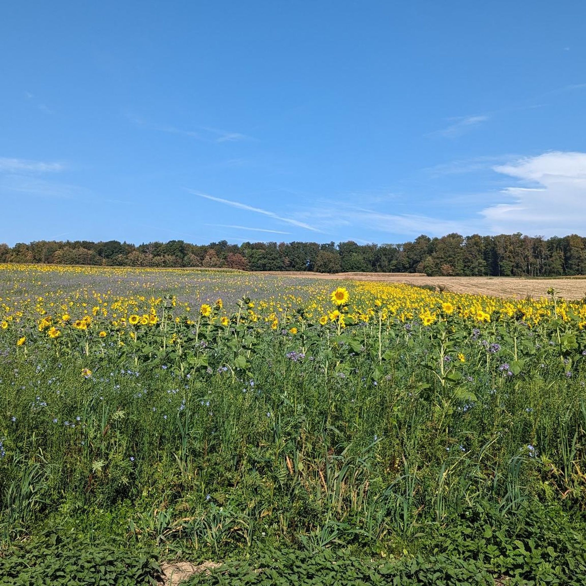
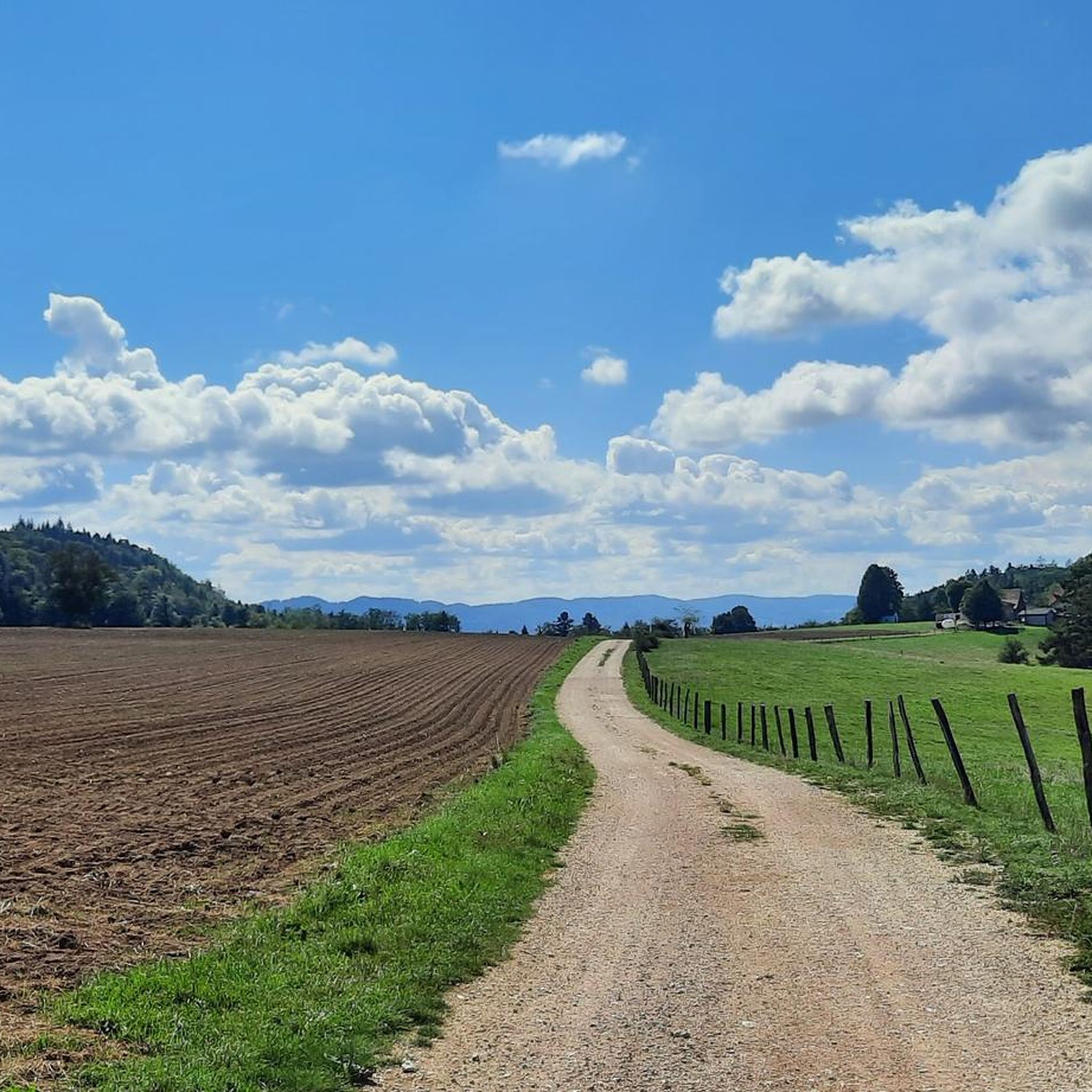
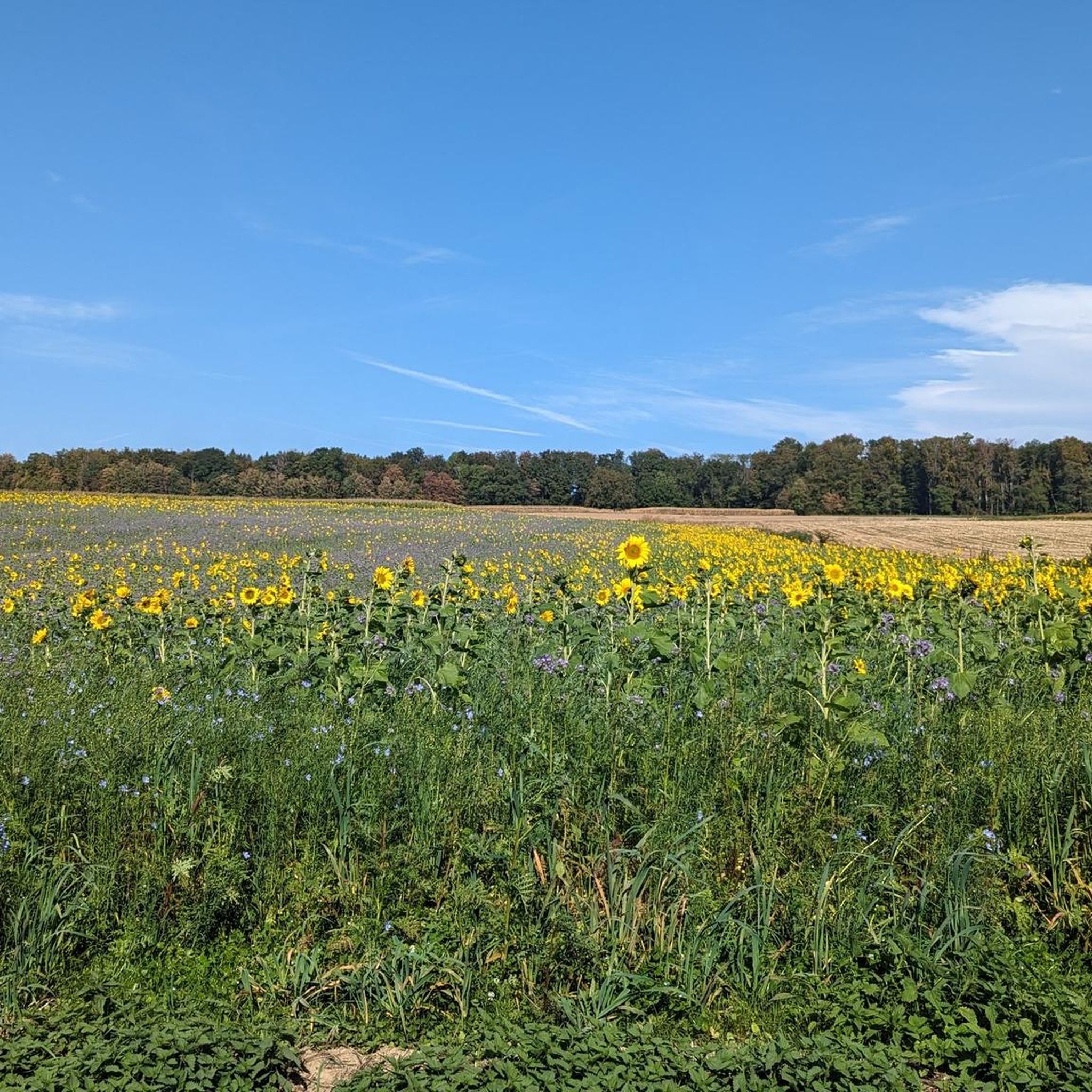

Tips from the Community

Altkirch Altkirch is the historic capital of the Sundgau and lies on a striking rocky spur above the valley of the Ill. The town's origins date back to the Middle Ages. The Counts of Ferrette built Altkirch into a fortified town; from 1215 onwards, it was protected by town walls and towers. The characteristic layout, narrow streets, and remnants of the fortifications have been preserved from this medieval town plan to this day. Particularly worth seeing is the Vieille Porte, a former town gate from around 1245. For centuries, Altkirch was an important administrative and commercial center of the Sundgau. After the destructions of the Thirty Years' War, numerous buildings were newly erected. The representative town hall dates from the 18th century, built in 1778 according to plans by the Swabian architect Jean Nissler. In the 19th century, the town continued to develop: alongside its traditional importance as a market and trading place, industrial enterprises emerged, including the well-known Gilardoni brickworks. The 20th century also left its mark. After the First World War, Altkirch became part of the re-Frenchified Alsace. The memory of this period is evident, among other things, at the Vieille Porte, where a Borne Vauthier commemorates the former front line of 1918. The original Altkirch war memorial from 1927 was destroyed during the German occupation in the Second World War; preserved parts were later integrated into a new memorial. Today, Altkirch, with around 6,000 inhabitants, is an important center of the Sundgau. The historic upper town with its old houses, remnants of fortifications, the town hall, and the Sundgau Museum continues to shape the townscape. Source: Ville d’Altkirch – History of the town
0
0
Observation post No. 2 in Largin was a Swiss wooden blockhouse during the First World War. From here, Swiss soldiers observed the French and German positions just a few hundred meters away and monitored Swiss neutrality. The post was thus located immediately at the southern end of the Western Front. The original blockhouse was reconstructed in 2012 based on historical models and can be visited today.
0
0
Kilometer 0 – Border stone of the Western Front The border stone No. 111 at Largin near Pfetterhouse marks the so-called “Kilomètre Zéro”, the southern starting point of the Western Front in World War I. From autumn 1914, the front ran here between France and Germany; on the Swiss side, the neutral Swiss army observed the events. From this point, the front line stretched for around 750 km to the North Sea. Today, the border stone, the reconstructed Swiss observation post, and numerous trenches and bunkers commemorate this special section of the Western Front.
0
0
The Ferme du Largin is located in the Swiss "corner" near Bonfol, directly at Kilomètre Zéro of the Western Front section. In the First World War, it was an important observation post for the Swiss army, which monitored the opposing French and German positions from here. The area became a meeting point for three armies in 1914–1918 – France, Germany, and Switzerland. Today, the Ferme is a working farm and the starting point of the 7.5 km long Kilomètre-Zéro circular trail, where numerous traces and fortifications of the former front can still be seen.
0
0
The Dreiländerstein from 1871 stands in the area near Largitzen/Pfetterhouse and commemorates the then border between France, Germany and Switzerland after the Franco-Prussian War and the annexation of Alsace-Lorraine by the German Empire.
0
0

Altkirch is definitely worth a visit. The small town in Sundgau boasts a diverse architectural heritage that reflects its medieval and religious history. The Priory of Saint-Morand, the church Notre-Dame, the old city walls, and various medieval ruins bear witness to this richness.
0
0

At border post 111, on the French-Swiss border near Pfetterhouse, the Western Front of the First World War officially began in the autumn of 1914. This spot, where the borders of France, Germany and Switzerland had previously met, became the symbolic Kilometre Zero of a front line that stretched over 750 kilometres to the North Sea. Today it is a peaceful spot along a hiking and cycling trail, where you literally stand at the start of one of the most defining fronts in modern history.
8
0

In 1913 and 1914, following the ideas of Johann Knauth, architect of Strasbourg Cathedral and curator of the M.H., the nave, the side chapel of the Sacré-Coeur, the Saint-Joseph Chapel in the basement, and the sacristy were rebuilt in the Gothic style by the architect Alexandre Louvat from Mulhouse. The old Gothic nave, remodeled in the 18th century, was decorated with murals dating from 1491. To the south of the choir was a small chapel dating from the 14th and 15th centuries, with cross-ribbed vaults on consoles. To the north were the remains of the old priory cloister. On the site of the present Sacred Heart Chapel was the 18th-century Mount of Olives, the rood screen of which was removed in 1861.
0
0
Frequently Asked Questions
How many touring cycling routes are available around Bettendorf?
Bettendorf offers an extensive network for touring cyclists, with over 200 routes available. These range from easy, flat rides along the riverfront to more challenging paths with moderate elevation changes.
What types of terrain can I expect on Bettendorf's cycling trails?
The terrain in Bettendorf is generally gentle, characterized by paved paths, urban greenways, and dedicated sidepaths. Many routes follow the scenic Mississippi Riverfront, while others traverse parks and natural areas. You'll find a mix of open stretches and some more enclosed sections, with options for various skill levels.
Are there any easy or beginner-friendly touring cycling routes in Bettendorf?
Yes, Bettendorf is very accommodating for beginners. There are 27 easy routes, many of which are flat and well-maintained. The The Ill in Hirsingue – Porte de Belfort loop from Bettendorf is an example of an easy 14-mile route, perfect for a pleasant ride through varied landscapes.
Can I find circular touring cycling routes in Bettendorf?
Many of Bettendorf's cycling routes are designed as loops, allowing you to start and end at the same point. For instance, the The Ill in Hirsingue – Former Hirtzbach station loop from Hirsingue is a moderate 14.4-mile circular path that offers a mix of open and enclosed sections.
What are some scenic viewpoints or attractions along the cycling routes?
Bettendorf's location along the Mississippi River provides stunning views, especially from dedicated riverfront trails and places like Leach Park. The I-74 Pedestrian and Bicycle Bridge offers unique panoramic vistas with its viewing area. While cycling, you might also encounter natural features like the waterfall in Devil's Glen Park. For specific points of interest, you can explore highlights such as Loechle Rock or the Loechlefelsen Viewpoint.
Are Bettendorf's cycling trails family-friendly?
Absolutely. Bettendorf's extensive network includes many paved, separated trails that are ideal for families. The 53rd Avenue Sidepath, for example, is a 1.2-mile paved path offering a safe and smooth ride suitable for all ages. Many parks, like Crow Creek Park, also feature trails that are great for family outings.
Are dogs allowed on the bike trails in Bettendorf?
Yes, many of Bettendorf's trails are pet-friendly. The 53rd Avenue Sidepath is specifically noted as a pet-friendly option. Crow Creek Park also features a dedicated dog park, making it a great stop if you're cycling with your canine companion.
What is the best time of year for touring cycling in Bettendorf?
The spring and fall months generally offer the most pleasant weather for touring cycling in Bettendorf, with comfortable temperatures and beautiful scenery. However, the extensive trail network is accessible year-round, with many paths suitable for cycling even in milder winter conditions.
Where can I find parking for Bettendorf's bike trails?
Bettendorf's trail system is well-integrated with numerous parks and public access points, many of which offer parking. For instance, Crow Creek Park and Middle Park provide convenient access to their respective trail sections and connections to the wider network.
What do other touring cyclists say about their experience in Bettendorf?
The touring cycling experience in Bettendorf is highly rated by the komoot community, with an average score of 4.5 stars from over 227 reviews. Cyclists often praise the well-maintained trails, scenic riverfront views, and the variety of routes that cater to different skill levels.
Are there any historical sites or natural monuments to explore near the routes?
Yes, the region offers several points of interest. You can find natural monuments like The Great Oak or historical sites such as Motte Castrale de Willer. For a more extensive ride, consider routes like the Church of St. James the Greater – Ferrette Castle and Pond loop from Altkirch, which passes by notable landmarks like Ferrette Castle.
How does Bettendorf connect to larger cycling networks?
Bettendorf is a key part of the Mississippi River Trail (MRT), a long-distance trail that spans 10 states. This connection allows cyclists to extend their rides beyond the city limits and explore a much broader scenic corridor along the Mississippi River.
Most popular routes around Bettendorf
Most popular attractions around Bettendorf

Get inspired with the komoot mobile app


Explore more
Browse the best Cycling routes in other regions.
