The best walks and hikes around Wolschweiler
4.6
(383)
1,788
hikers
17
hikes
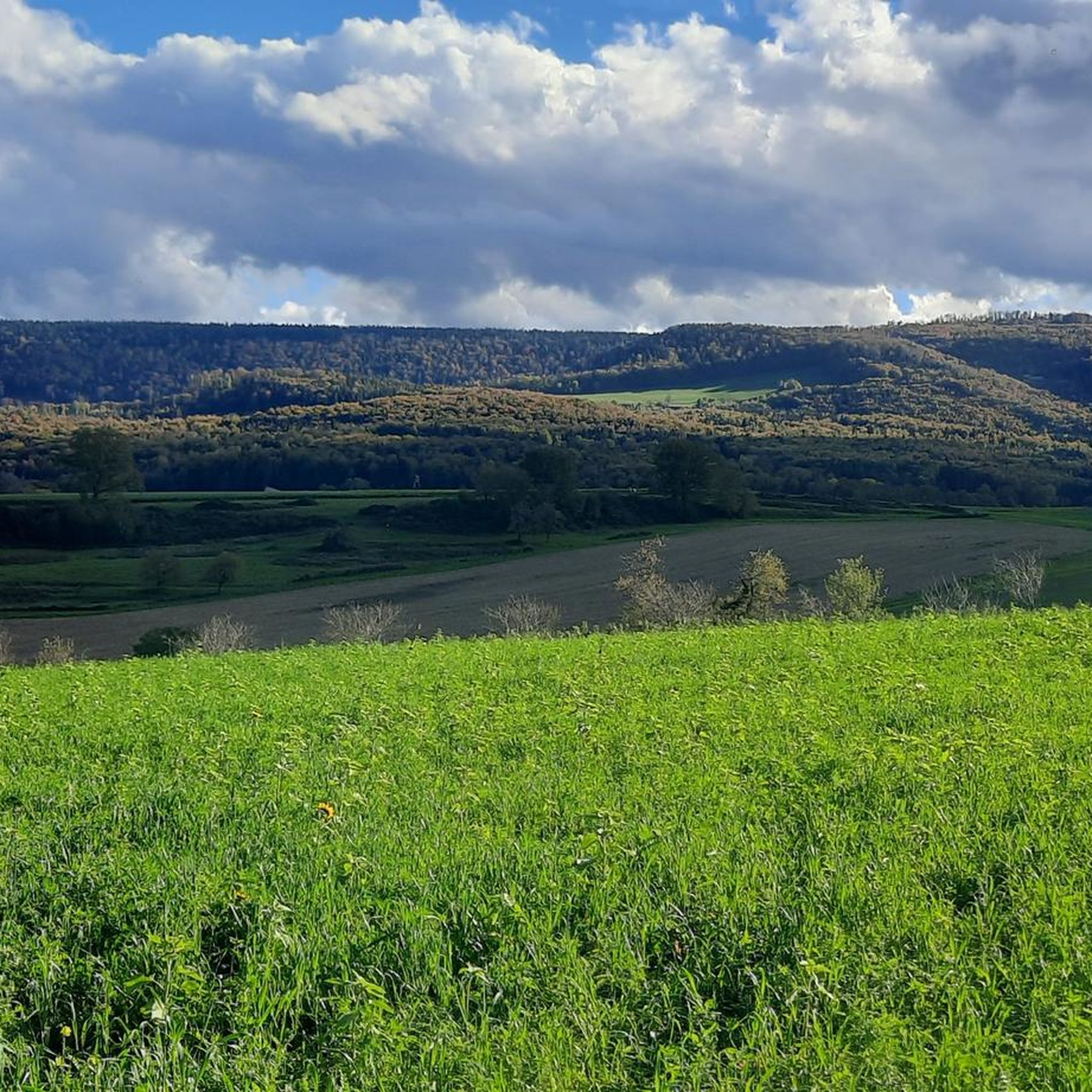
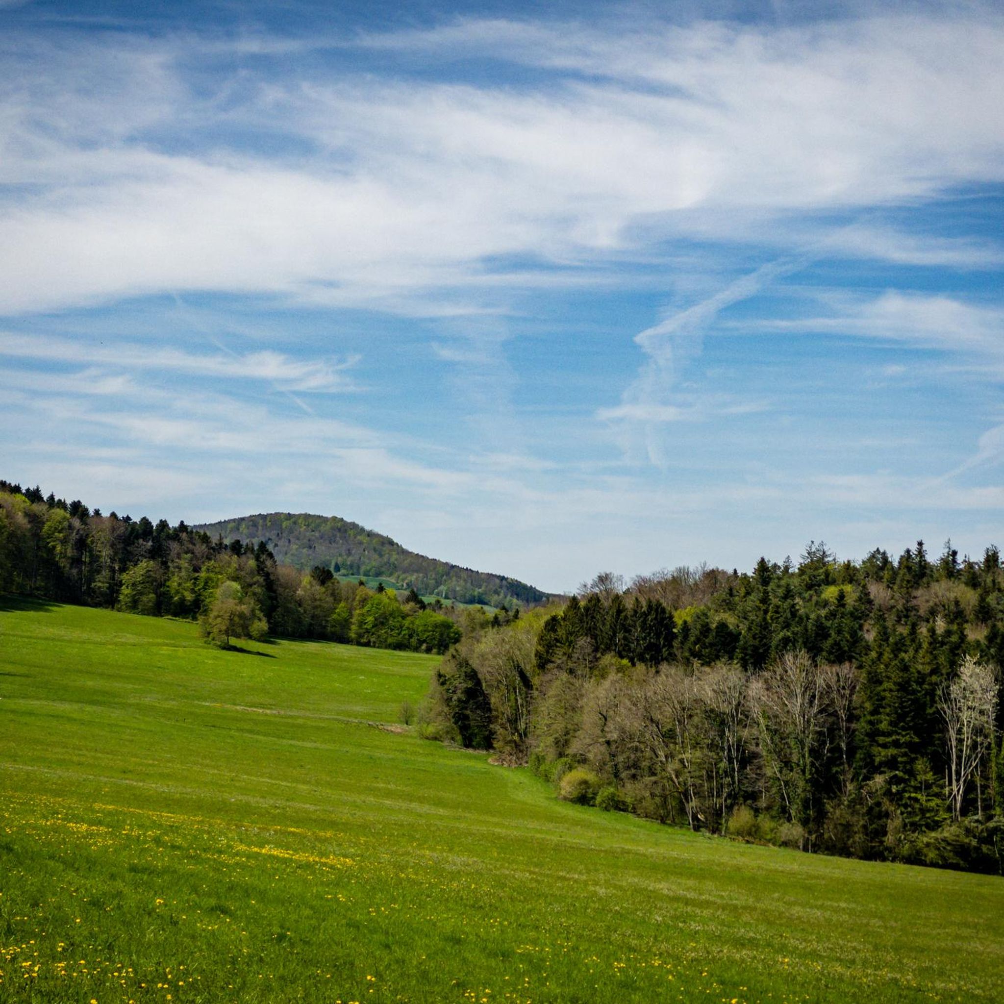
Hiking around Wolschweiler offers access to the diverse landscapes of the Alsatian Jura, characterized by rugged rocks, wide high plateaus, and picturesque limestone ridges. The region features varied terrain, from wild-romantic gorges to dense forests and open meadows. The Raemelsberg, the highest point of the Alsatian Jura, provides panoramic views over the Swiss Jura.
Best hiking trails around Wolschweiler
- The most popular hiking route is Wolschwiller and the Raemelsberg crest, a 7.5 miles (12.0 km) trail that takes 3…
Last updated: October 9, 2026
4.5
(52)
152
hikers
12.0km
03:39
420m
420m
Moderate hike. Good fitness required. Mostly accessible paths. Sure-footedness required.
5.0
(3)
20
hikers
Moderate hike. Good fitness required. Mostly accessible paths. Sure-footedness required.

5.0
(3)
7
hikers
Moderate hike. Good fitness required. Mostly accessible paths. Sure-footedness required.
4.3
(3)
16
hikers
Moderate hike. Good fitness required. Easily-accessible paths. Suitable for all skill levels.
3.0
(1)
10
hikers
7.24km
02:24
360m
360m
Moderate hike. Good fitness required. Mostly accessible paths. Sure-footedness required.
Get access to more routes and recommendations from other explorers.
Already have an account?
Our route recommendations are based on thousands of hikes, rides, and runs completed by other people on komoot.
Start today with a free account
Your next adventure awaits.
Other adventures around Wolschweiler

Tips from the Community

Rather rudimentary, but a fire pit with a good view.
0
0
This fire pit is right at the top of my "fire pit ranking." It's especially great in winter because it gets plenty of sunshine.
0
0


The grave with the stone sculpture is located on the ‘Rittimatte’ above his former house in Burg im Leimental.
1
0

For a time it was home to a pilgrimage to the Virgin Mary; next to the chapel there was a hermitage since the 18th century, which disappeared in the 20th century; the old statue of the chapel is now in the church and in the presbytery
0
0
Biederthal Castle is located above the village of Burg in Leimental. It is privately owned and not open to the public, but it is still an impressive sight from the outside. The large castle complex dominates the village.
0
0

quite steep up to the tower, those who are not so fond of mountains go directly to the restaurant
0
0

A beautiful piece of land, which can be reached via a kilometer-long beautiful ridge-forest hiking trail.
1
0
Frequently Asked Questions
How many hiking trails are available around Wolschweiler?
Wolschweiler offers a selection of 17 hiking trails. These routes cater to various skill levels, including 2 easy, 13 moderate, and 2 difficult options, ensuring there's a suitable path for every hiker.
What kind of terrain can I expect on hikes in Wolschweiler?
Hiking in Wolschweiler takes you through the diverse landscapes of the Alsatian Jura. You'll encounter rugged rocks, wide high plateaus, and picturesque limestone ridges. The area features wild-romantic gorges, dense forests, and open meadows, with trails often following the Franco-Swiss border, offering continuous beautiful views.
What natural features or landmarks can I see while hiking in Wolschweiler?
Many trails offer views of significant natural features and landmarks. You can visit the Remelturm Observation Tower for expansive views, explore the unique Blauenberg Trail, or discover the Mätzerlechrüz Cross. The Brunneberg and Karlisberg also offer notable viewpoints.
Are there any historical sites or cultural attractions near the hiking trails?
Yes, the region is rich in history. You can explore parts of the 'Circuit of the Three Castles of the Alsatian Jura,' which includes the impressive Landskron Castle ruins, offering views extending to the Vosges mountains. Nearby, Mariastein Monastery in Switzerland is also a significant pilgrimage site with beautiful Gothic architecture.
What do other hikers enjoy most about the trails in Wolschweiler?
The trails around Wolschweiler are highly rated by the komoot community, with an average score of 4.6 stars from nearly 300 reviews. Hikers often praise the diverse terrain, the panoramic views from points like the Raemelsberg crest, and the well-maintained paths that lead through forests, meadows, and along picturesque limestone ridges.
Are there circular hiking routes available in Wolschweiler?
Yes, Wolschweiler offers several circular hiking routes. For example, the Bizarre Rock Formations – Rämelturm Observation Tower loop from Wolschwiller is a popular moderate circular path. Another option is the Remel Tower seasonal tavern – Rämelturm Observation Tower loop from Wolschwiller, which also forms a loop.
Are there easy hiking options suitable for beginners in Wolschweiler?
Yes, Wolschweiler has 2 easy hiking routes that are suitable for beginners or those looking for a more relaxed walk. These trails typically feature gentler inclines and shorter distances, allowing for enjoyable exploration of the local scenery.
Are there challenging hikes for experienced hikers in Wolschweiler?
For experienced hikers seeking a challenge, Wolschweiler offers 2 difficult routes. These trails often involve more significant elevation changes and longer distances, providing a rewarding experience through the rugged parts of the Alsatian Jura.
What is the best time of year to go hiking in Wolschweiler?
The diverse terrain of Wolschweiler makes it suitable for hiking across multiple seasons. Spring and autumn offer pleasant temperatures and vibrant natural colors, while summer provides longer daylight hours. Even winter can be beautiful, though some trails might require appropriate gear depending on snow conditions.
Are there places to eat or rest along the trails?
Yes, you can find places to rest and eat. There are several huts and cabins in the area, such as the Hirtenhütte Remel and a Forest kiosk. The Besenbeiz Busenberg also offers a place to stop for refreshments.
Can I bring my dog on the hiking trails in Wolschweiler?
Many trails in the Wolschweiler region are dog-friendly, allowing you to enjoy the natural beauty with your canine companion. However, it's always recommended to keep dogs on a leash, especially in areas with wildlife or near livestock, and to check local regulations for specific routes.
Are there family-friendly hiking trails in Wolschweiler?
Wolschweiler offers a variety of trails, including options suitable for families. The easier routes with less elevation gain and shorter distances are ideal for outings with children. These paths often lead through forests and meadows, providing a pleasant experience for all ages.
Is public transport available to reach hiking trailheads in Wolschweiler?
While specific public transport connections to every trailhead can vary, Wolschweiler is situated in a region with some public transport infrastructure. It's advisable to check local bus schedules or regional train services that might connect to nearby villages, from which trailheads can often be accessed.
What are the parking options for hikers in Wolschweiler?
Parking is generally available in and around Wolschweiler, particularly near popular trailheads and village centers. Look for designated parking areas or roadside spots where permitted. It's always a good idea to arrive early during peak seasons to secure a convenient parking space.
Most popular routes around Wolschweiler
Most popular attractions around Wolschweiler

Get inspired with the komoot mobile app


Explore more
Browse the best Hikes in other regions.
