The best road cycling routes around Courdimanche-Sur-Essonne
4.7
(39)
1,265
riders
182
rides
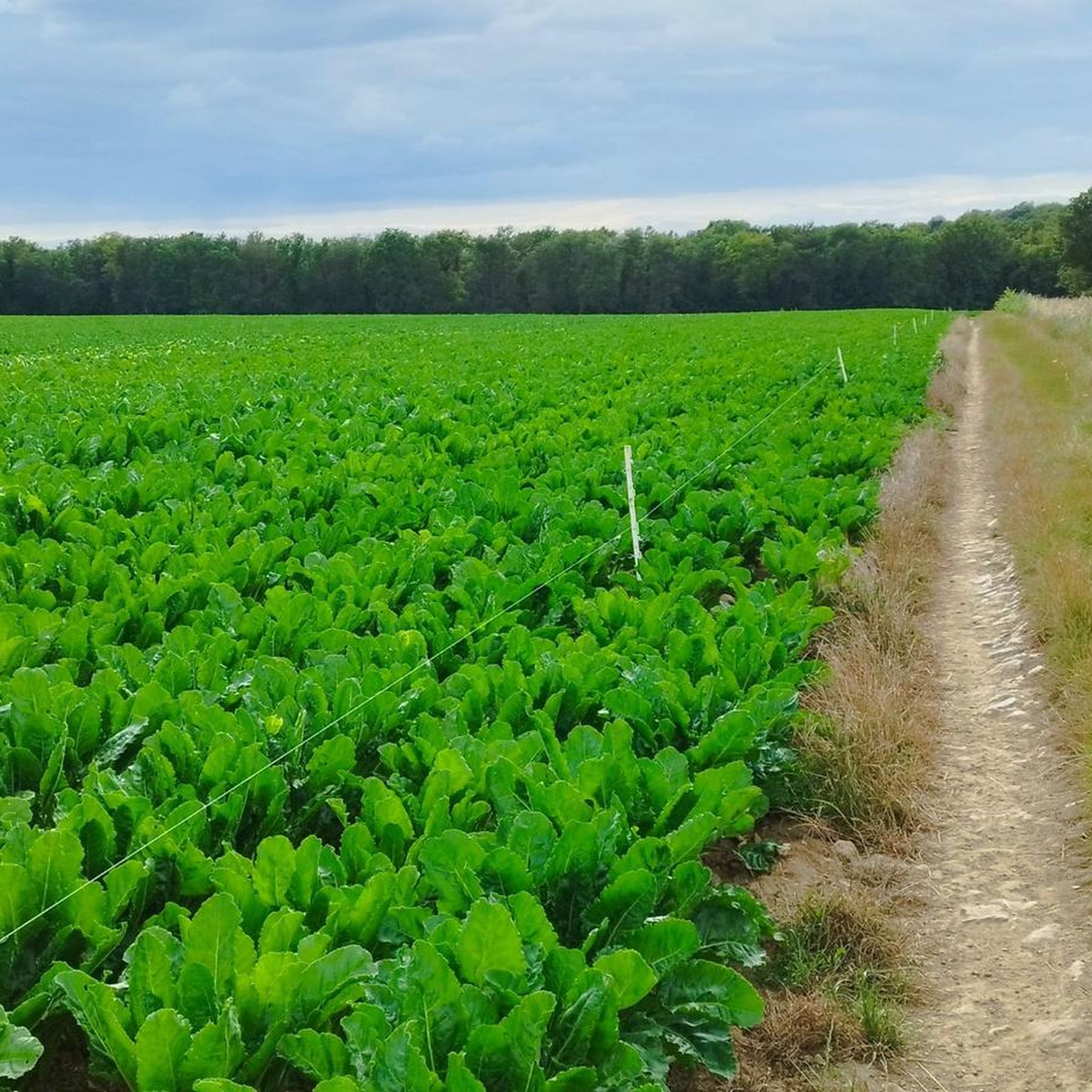
Road cycling routes around Courdimanche-Sur-Essonne traverse the diverse landscapes of the French Gâtinais Regional Natural Park. The region features varied topography, including wet and dry valleys, wooded hillsides, and agricultural lands, with elevations ranging from 59 to 144 meters. The Essonne River forms a natural boundary, creating humid valleys and wetlands that contribute to picturesque routes. Extensive wooded areas and agricultural lands provide serene backdrops for cycling.
Best road cycling routes around Courdimanche-Sur-Essonne
- The most popular road cycling route is…
Last updated: July 5, 2026
5.0
(1)
22
riders
Moderate road ride. Good fitness required. Some segments of this route may be unpaved and difficult to ride.
14
riders
82.5km
03:22
400m
400m
Moderate road ride. Good fitness required. Some segments of this route may be unpaved and difficult to ride.

Sign up for free
8
riders
87.3km
03:36
470m
470m
Moderate road ride. Good fitness required. Some segments of this route may be unpaved and difficult to ride.
5
riders
85.5km
03:31
410m
410m
Moderate road ride. Good fitness required. Mostly well-paved surfaces and easy to ride.
4
riders
105km
04:28
760m
760m
Moderate road ride. Good fitness required. Mostly well-paved surfaces and easy to ride.
Get access to more routes and recommendations from other explorers.
Sign up for free
Already have an account?
Our route recommendations are based on thousands of hikes, rides, and runs completed by other people on komoot.
Start today with a free account
Your next adventure awaits.
Login or Signup




Tips from the Community

The former fortress and picturesque medieval town of Moret-sur-Loing lies on the edge of the Fontainebleau Forest and the peacefully flowing Loing River. This postcard-perfect town is indeed extremely photogenic. The most beautiful views are from the old bridge or from the right bank of the Loing.
1
0


so as not to forget that other nations came to help us stay free
0
0

You can also swim in the Loing River here. A lively, picturesque spot.
0
0

A lovely unpaved greenway. From Moret-sur-Loin, for 15 km, the surface is a little rough. 10 km before Nemours, the track has been resurfaced and is a nice, smooth gravel. We passed through without any problems on gravel bikes with a baby trailer. Our friends passed through on city bikes with a trailer. I'm including a photo to give you an idea of the surface.
0
0

Former market square in the heart of Milly-la-Forêt.
1
0

I replaced my gravel wheel with this wooden one...
0
0
Frequently Asked Questions
How many road cycling routes are available around Courdimanche-Sur-Essonne?
There are nearly 200 road cycling routes around Courdimanche-Sur-Essonne, offering a wide variety of options for different skill levels and preferences. The komoot community has explored over 190 routes in the area.
What kind of terrain can I expect on road cycling routes in Courdimanche-Sur-Essonne?
The region offers a diverse topography, including wet and dry valleys, wooded hillsides, and agricultural lands. Elevations range from 59 to 144 meters, providing a dynamic cycling experience with both flat sections and gentle climbs. The scenic Essonne River also contributes to picturesque routes.
Are there road cycling routes suitable for beginners in Courdimanche-Sur-Essonne?
Yes, Courdimanche-Sur-Essonne offers several easy road cycling routes. For instance, the Underpass – Bonnevaux Castle loop from Courdimanche-sur-Essonne is an easy 35.8 km path with moderate elevation gain, perfect for those new to road cycling or looking for a relaxed ride.
What are some challenging road cycling routes for experienced cyclists?
For experienced cyclists seeking a challenge, routes like the Souzy-la-Briche Castle – Château du Marais loop from Boutigny offer a more demanding experience. This difficult route spans 88.4 km and features over 900 meters of elevation gain, traversing varied landscapes.
What historical landmarks or attractions can I see along the road cycling routes?
Many routes pass by significant historical and cultural points of interest. You can cycle past the impressive Domaine de Courances, a 17th-century castle with a vast park. The nearby town of Milly-la-Forêt also features historical sites like its 15th-century Market Hall.
Are there any natural features or viewpoints to enjoy while cycling?
Absolutely. The region is rich in natural beauty, including the scenic Essonne River, which forms a natural boundary and creates humid valleys. You'll also encounter extensive wooded areas and agricultural lands, offering serene backdrops and pleasant views throughout your ride. Keep an eye out for unique natural sites like Ambart Island, a classified natural area formed by the Essonne River.
What do other road cyclists say about the routes in Courdimanche-Sur-Essonne?
The road cycling routes in Courdimanche-Sur-Essonne are highly rated by the komoot community, with an average score of 4.7 stars from over 40 reviews. Cyclists often praise the varied landscapes, the tranquility of the French countryside, and the well-maintained paths that make for an enjoyable experience.
Are there any loop routes available for road cycling?
Yes, many of the road cycling routes in the area are designed as loops, allowing you to start and end at the same point. Examples include the Pretty road along the Seine – Fleury-en-Bière Castle loop from Boutigny, a 110.9 km route, and the Bonnevaux Castle – Underpass loop from Boutigny, which is 54.4 km.
Is Courdimanche-Sur-Essonne a good destination for road cycling with varied scenery?
Yes, Courdimanche-Sur-Essonne is an excellent destination for varied scenery. Cyclists can transition between wet and dry valleys, wooded hillsides, and agricultural fields. The Essonne River and its wetlands, combined with charming villages, ensure a constantly changing and engaging visual experience.
What is the best time of year to go road cycling in Courdimanche-Sur-Essonne?
The region is highly regarded by the cycling community, with July and August being particularly popular months. The pleasant weather during these summer months makes it ideal for exploring the extensive network of routes and enjoying the natural beauty of the Gâtinais Regional Natural Park.
Are there any specific points of interest related to art or culture?
Beyond historical castles, you can also encounter unique artistic installations. For example, the impressive sculpture known as The Cyclop by Jean Tinguely is a notable man-made monument that cyclists might discover along their routes, offering an interesting cultural diversion.
Can I find cafes or places to stop for refreshments along the routes?
While specific cafes are not listed for every route, cycling through the charming villages and towns in the region, such as Milly-la-Forêt, will provide opportunities to find local establishments for refreshments and breaks. The rural nature of the commune ensures a peaceful experience, but amenities are available in the larger settlements.
Most popular routes around Courdimanche-Sur-Essonne
Most popular attractions around Courdimanche-Sur-Essonne

Get inspired with the komoot mobile app


Explore more
Browse the best Road cycling routes in other regions.
