The best road cycling routes around Flachères
4.6
(79)
982
riders
117
rides
Road cycling routes around Flachères are situated in the Isère department of southeastern France, within the Auvergne-Rhône-Alpes region. The commune is located on the "plateau des Terres froides" at an average altitude of approximately 600 meters, offering a landscape of gently rolling terrain. This area provides access to diverse cycling experiences, from quiet rural roads through lush forests and mountain pastures to more challenging ascents in nearby mountain ranges like Belledonne, Chartreuse, and Vercors. The region's varied topography allows for…
Last updated: July 10, 2026
3.0
(1)
15
riders
40.3km
01:47
360m
360m
Moderate road ride. Good fitness required. Mostly well-paved surfaces and easy to ride.
9
riders
64.5km
03:11
920m
920m
Hard road ride. Very good fitness required. Mostly well-paved surfaces and easy to ride.

Sign up for free
7
riders
32.6km
01:31
320m
320m
Moderate road ride. Good fitness required. Mostly well-paved surfaces and easy to ride.
4.3
(4)
7
riders
28.6km
01:20
310m
310m
Moderate road ride. Good fitness required. Mostly well-paved surfaces and easy to ride.
5.0
(1)
6
riders
41.3km
01:52
410m
410m
Moderate road ride. Good fitness required. Mostly well-paved surfaces and easy to ride.
Get access to more routes and recommendations from other explorers.
Sign up for free
Already have an account?
Our route recommendations are based on thousands of hikes, rides, and runs completed by other people on komoot.
Start today with a free account
Your next adventure awaits.
Login or Signup
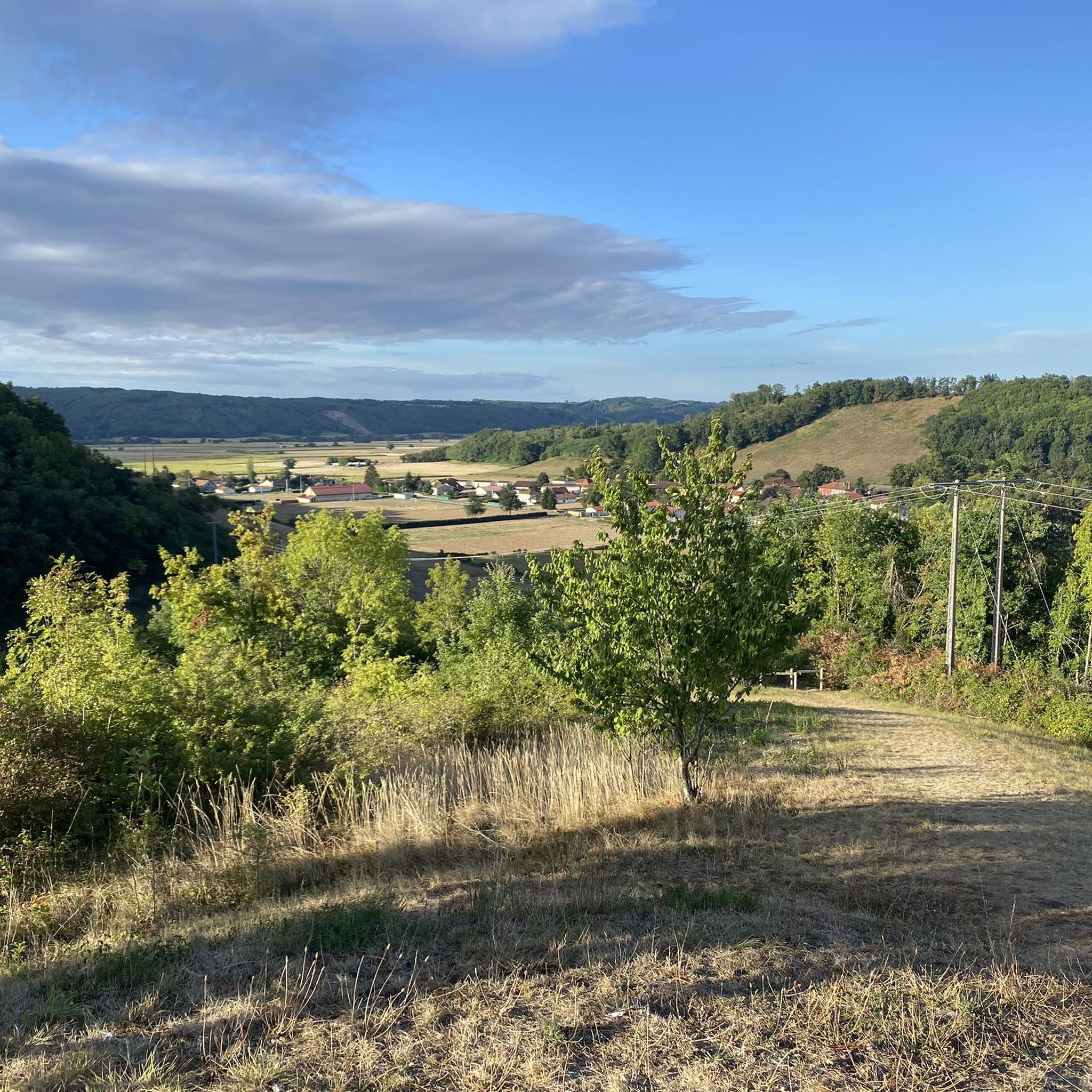
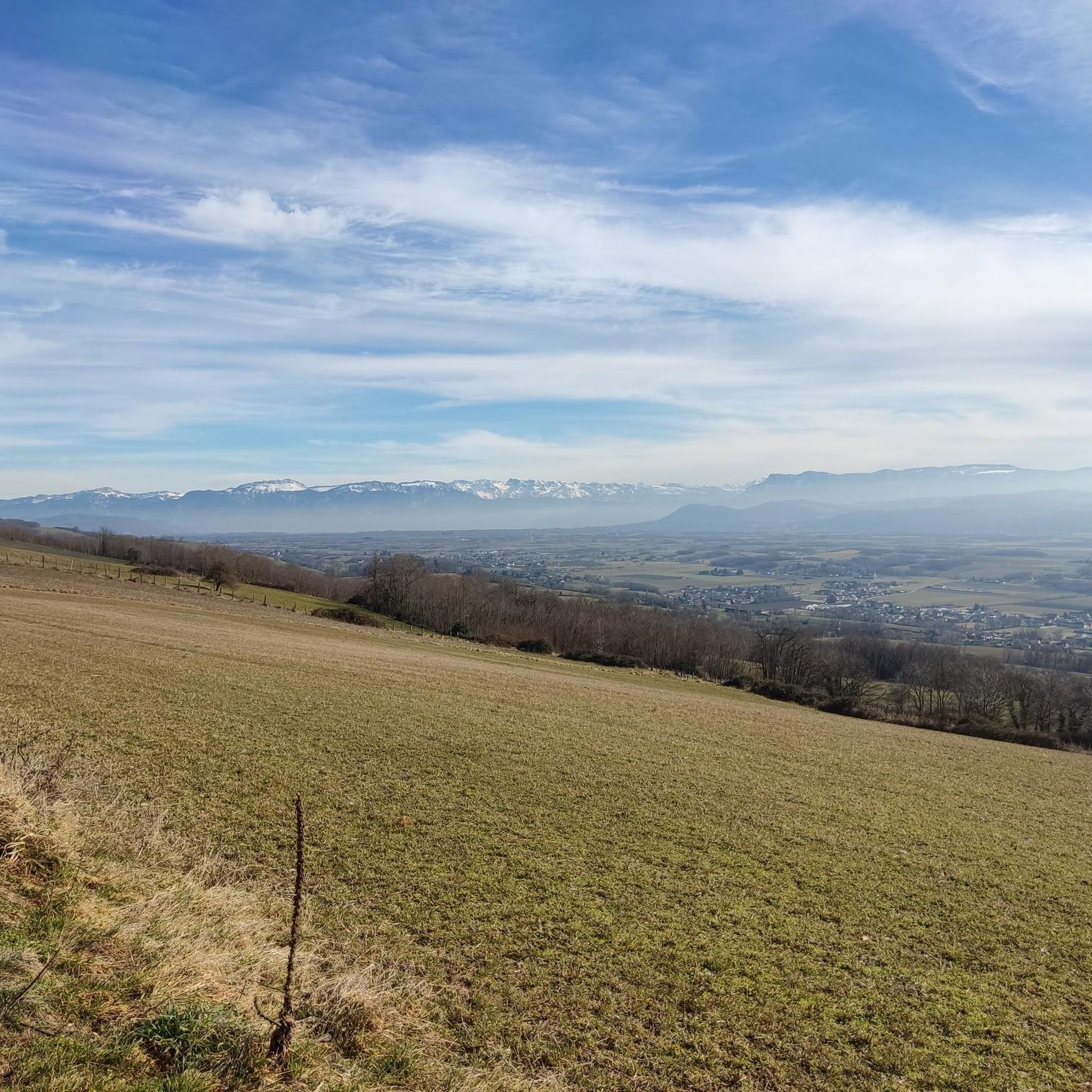
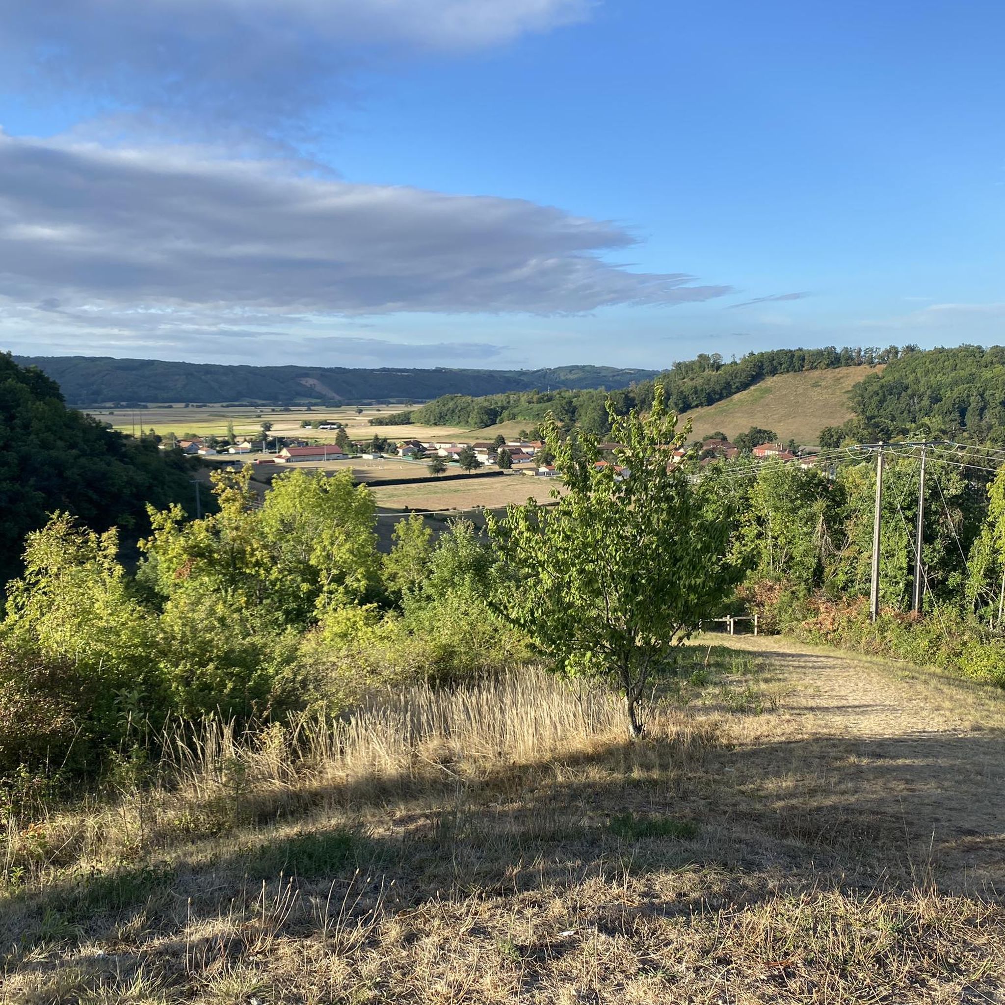

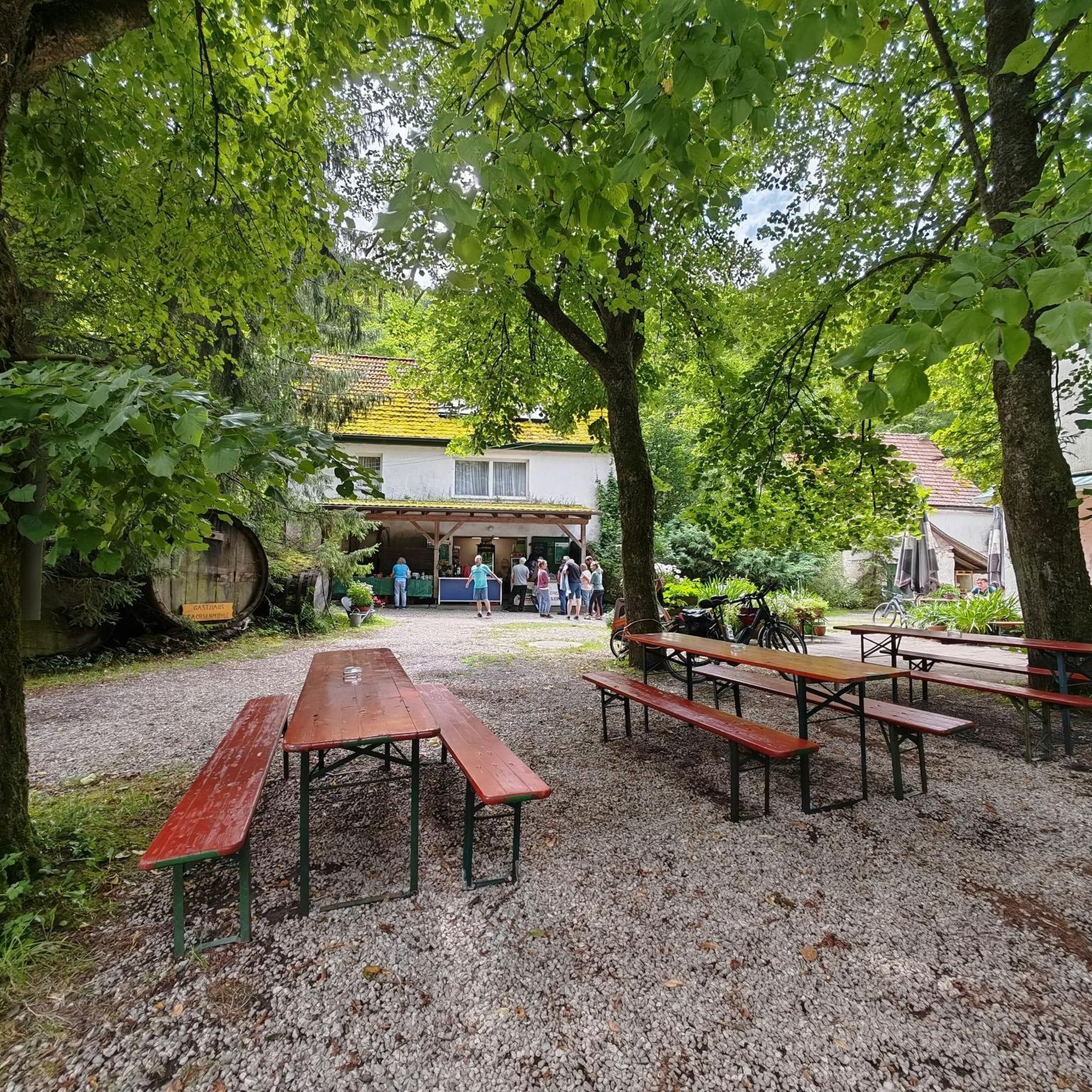
Tips from the Community

Here is the route for climbing the Col du Banchet from La Frette
1
0
Here is the route for the ascent of the Col des Crozes from Les Eydoches
1
0

The Jardin de Tourbières is open to the public, with the development of a discovery trail along the peat bog. A free educational booklet is given during accompanied visits; it is also available on request from the town halls of Grand Lemps and Châbons and can be downloaded from the Avenir website.
0
0
Located at an altitude of 500 m at the bottom of a depression of glacial origin with a substantially north-south axis, the Etang du Grand-Lemps nature reserve presents an exceptional flora and fauna heritage over 53 ha. Its slopes are shared between pastured meadows, crops and chestnut copses. The bottom of the depression corresponds to a marsh covered by peat bog vegetation and phragmites. The peat environments, and more particularly the sphagnum groups, constitute the originality of the site. Source: Natural Reserves Org
1
0
Monument to the dead near the Col du Banchet, in memory of those deported during the Second World War.
0
0

Small village in North Isère
0
0
On a somewhat busy road, but very wide. With fairly steep passages.
0
0
Frequently Asked Questions
How many road cycling routes are available around Flachères?
The Flachères area offers a wide selection of road cycling routes, with over 120 different tours available. These routes cater to various preferences, from gentle rides to more challenging ascents.
What kind of terrain can I expect when road cycling near Flachères?
Road cycling around Flachères primarily features gently rolling terrain on the "plateau des Terres froides" at an average altitude of 600 meters. However, the broader Isère department, where Flachères is located, provides access to diverse landscapes, including challenging mountain passes in nearby ranges like Belledonne, Chartreuse, and Vercors, offering a mix of experiences.
Are there road cycling routes for different skill levels in Flachères?
Yes, the routes around Flachères cater to all skill levels. You'll find approximately 23 easy routes for casual rides, 75 moderate routes for those seeking a bit more challenge, and 22 difficult routes for experienced cyclists looking for significant climbs and longer distances.
Are there any challenging road cycling routes with significant climbs near Flachères?
For experienced cyclists seeking a challenge, the region offers routes with notable elevation gains. An example is the Lake Paladru – Lac de Paladru loop from Champier, which covers 70.4 km with over 1000 meters of elevation gain, providing a demanding ride through diverse terrain.
Can I find shorter, easier road cycling routes around Flachères?
Absolutely. If you're looking for a more relaxed ride, there are several shorter and less demanding options. The Cabin of the Pond – Saint-Prim Church loop from Mottier is a moderate 32.7 km trail that takes you through rural landscapes and past local landmarks, perfect for a pleasant outing.
What scenic viewpoints or natural features can I discover on road cycling routes around Flachères?
The region is known for its wild and magnificent natural beauty. Cyclists can enjoy wide-open spaces, lush forests, mountain pastures, and stunning 360° views. Routes often pass by waterways and offer glimpses of the diverse ecosystems characteristic of southeastern France. While not directly through Flachères, the nearby "La Belle Via" cycle route showcases mountains, waterways, and orchards, reflecting the scenic beauty accessible in the broader Isère Valley.
Are there any historical sites or landmarks to see along road cycling routes near Flachères?
Yes, road cycling in the Flachères area can be combined with visits to interesting historical sites. You might encounter landmarks such as the Château Louis XI, the Notre-Dame-du-Mont Chapel, or the old market hall, adding a cultural dimension to your ride.
Are there circular road cycling routes available in the Flachères area?
Many of the road cycling routes around Flachères are designed as loops, allowing you to start and finish at the same point. For instance, the Road to nowhere – Route de Beausoleil loop from Nantoin offers scenic views along quiet rural roads in a convenient circular format.
What is the best time of year for road cycling in Flachères?
The best time for road cycling in Flachères and the surrounding Isère department is generally from spring through early autumn (April to October). During these months, the weather is typically mild and pleasant, making for ideal cycling conditions to enjoy the diverse landscapes.
What do other road cyclists enjoy the most about road cycling in Flachères?
The road cycling experience in Flachères is highly rated by the komoot community, with an average score of 4.3 stars. Cyclists often praise the quiet rural roads, the varied terrain that offers both gentle and challenging sections, and the beautiful natural scenery, including lush forests and open pastures.
Are there any road cycling routes that are particularly good for families near Flachères?
While specific 'family-friendly' designations for road cycling can vary, routes with less elevation gain and quieter roads are generally preferred. The area's gently rolling plateaus and rural roads offer many options suitable for families looking for a relaxed ride. Consider shorter, moderate loops like the Road to nowhere – Cabin of the Pond loop from Nantoin for a pleasant family outing.
Are there options for parking when starting a road cycling route in Flachères?
As a rural commune, Flachères and its surrounding villages typically offer various public parking options, often near town centers or trailheads, making it convenient to start your road cycling adventure. Specific parking details may vary by starting point, but generally, you can find suitable places to leave your vehicle.
Most popular attractions around Flachères

Get inspired with the komoot mobile app


Explore more
Browse the best Road cycling routes in other regions.
