The best walks and hikes around Montromant
4.6
(1418)
7,687
hikers
484
hikes
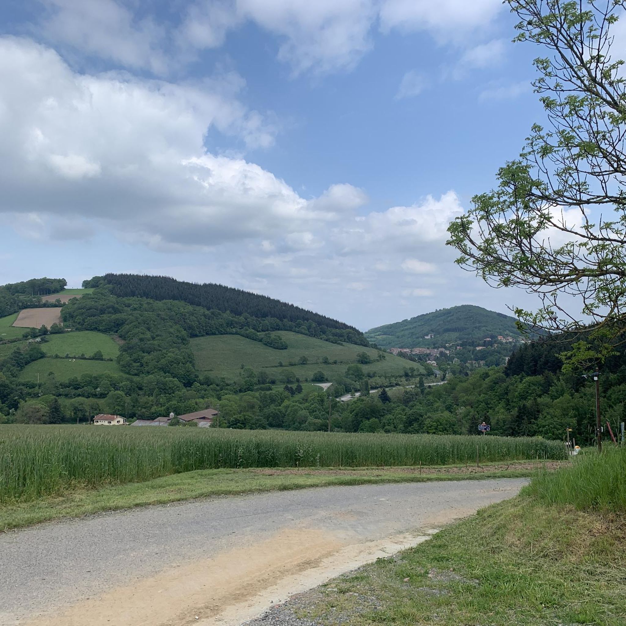
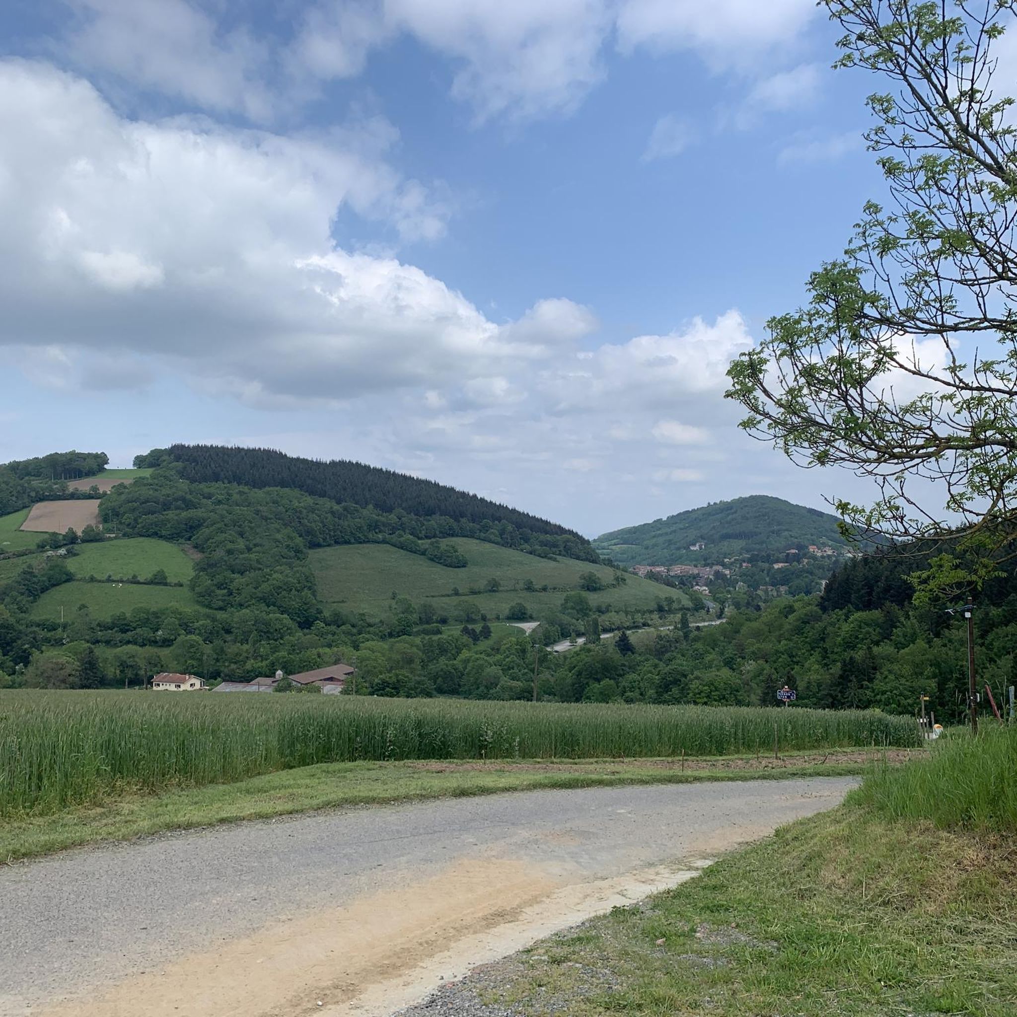
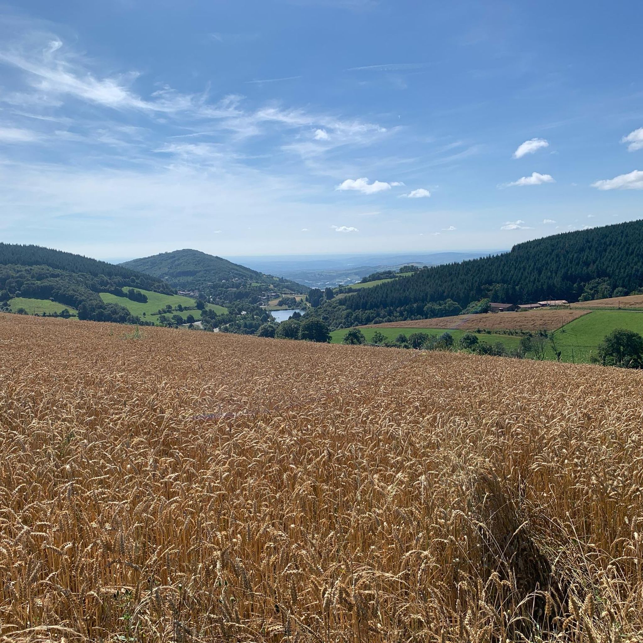
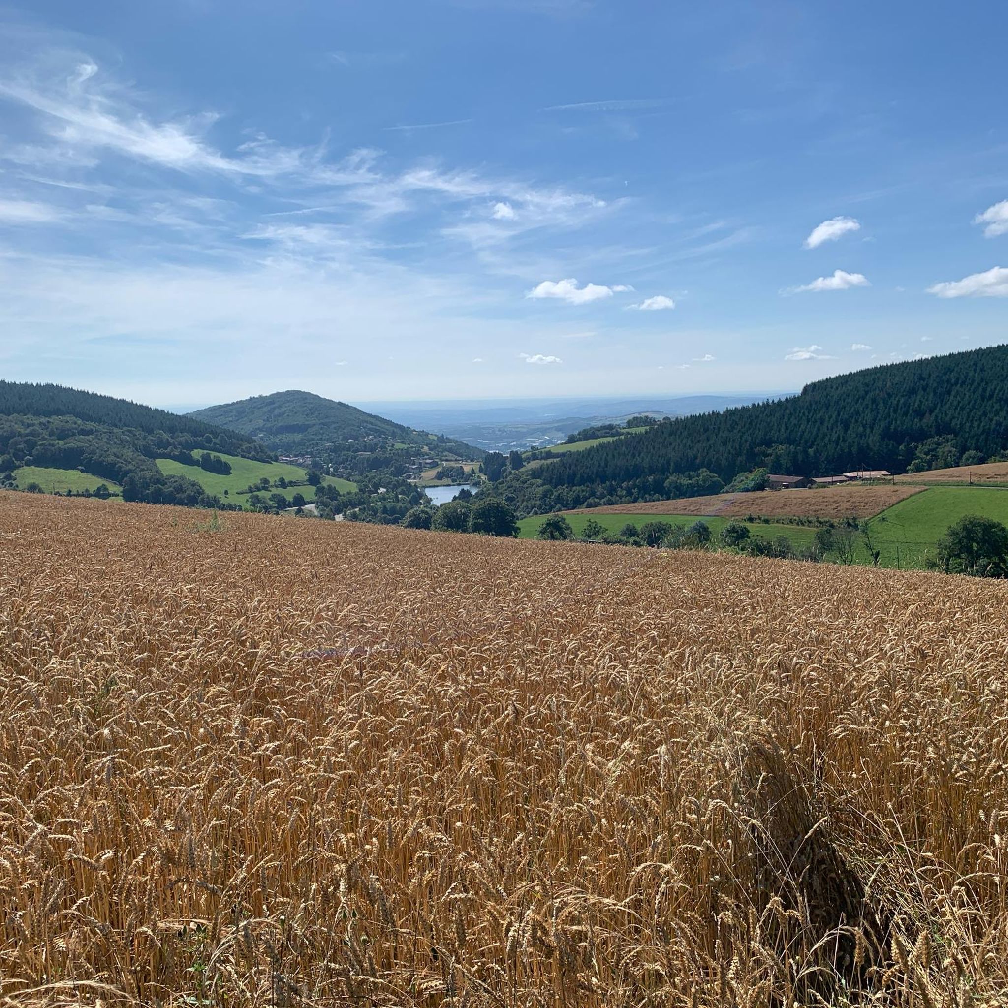
Hiking around Montromant offers a diverse landscape characterized by rolling hills, dense woodlands, and several water features including dams and waterfalls. The region's terrain provides varied elevation changes, suitable for different levels of hiking experience. Trails often lead through forested areas and open countryside, connecting natural landmarks. The area is known for its accessible paths that allow for exploration of its natural environment.
Best hiking trails around Montromant
- The most popular hiking route is Granite Outcrop View – Yzeron Waterfall…
Last updated: July 3, 2026
4.7
(31)
167
hikers
10.7km
03:09
300m
300m
Moderate hike. Good fitness required. Easily-accessible paths. Suitable for all skill levels.
4.8
(24)
119
hikers
8.11km
02:26
260m
260m
Moderate hike. Good fitness required. Easily-accessible paths. Suitable for all skill levels.

Sign up for free
4.7
(10)
51
hikers
16.3km
05:12
670m
670m
Hard hike. Very good fitness required. Easily-accessible paths. Suitable for all skill levels.
4.8
(5)
40
hikers
12.4km
03:43
390m
390m
Moderate hike. Good fitness required. Easily-accessible paths. Suitable for all skill levels.
5.0
(9)
43
hikers
10.6km
03:12
360m
360m
Moderate hike. Good fitness required. Easily-accessible paths. Suitable for all skill levels.
Get access to more routes and recommendations from other explorers.
Sign up for free
Already have an account?
Our route recommendations are based on thousands of hikes, rides, and runs completed by other people on komoot.
Start today with a free account
Your next adventure awaits.
Login or Signup

Tips from the Community


A beautiful hike, sometimes steep in its descent, but it doesn't last long... beautiful, unobstructed views.
0
0

A very charming little village
0
0

Gravel path with panoramic views on the right.
0
0

Departure parking: hikers' parking in Yzeron, hike, easy to do with children and families
0
0

Ideal for filling cans
0
0

No matter which way you climb, every climb has its charm.
0
0

Frequently Asked Questions
How many hiking trails are available around Montromant?
Montromant offers a wide variety of hiking experiences, with over 470 trails available. These routes cater to all skill levels, from easy strolls to more challenging treks through the region's diverse landscape.
Are there easy hiking options suitable for beginners or families?
Yes, Montromant has plenty of easy hiking options. There are 127 trails classified as easy, perfect for families or those looking for a relaxed walk. These routes often lead through gentle terrain and scenic woodlands.
What kind of terrain can I expect on hikes around Montromant?
The terrain around Montromant is characterized by rolling hills, dense woodlands, and various water features, including dams and waterfalls. You'll find paths through forested areas and open countryside, with varied elevation changes that offer diverse hiking experiences.
Can I find circular hiking routes in Montromant?
Many of the trails around Montromant are designed as circular routes, allowing you to start and end at the same point. For example, the Granite Outcrop View – Yzeron Waterfall loop from Yzeron is a popular moderate option, and the more challenging Crêt de la Madone – Lac du Ronzey loop from Yzeron also offers a circular path.
Are there any hikes with waterfalls in Montromant?
Yes, you can definitely find hikes that feature waterfalls. The Granite Outcrop View – Yzeron Waterfall loop from Yzeron is a notable moderate trail that includes a beautiful waterfall as one of its highlights.
What are some interesting places to see along the trails in Montromant?
Montromant's trails often pass by significant natural and historical landmarks. You can explore mountain passes like Col de la Luère or Croix-de-Part Pass. Other attractions include the serene Lac du Ronzey and the historic Saint-Bonnet-le-Froid Castle and Church.
Is Montromant suitable for dog-friendly hikes?
Many trails in Montromant are suitable for hiking with dogs, especially those through woodlands and open countryside. It's always recommended to keep your dog on a leash, particularly in areas with wildlife or near agricultural land, and to check local regulations for specific routes.
What is the typical duration of hikes in Montromant?
Hike durations vary widely depending on the route's length and difficulty. You can find shorter walks lasting a couple of hours, while longer, more challenging trails like the Crêt de la Madone – Lac du Ronzey loop from Yzeron can take over 5 hours to complete.
Where can I park when hiking in Montromant?
Parking availability varies by trailhead. Many popular starting points, especially in villages like Yzeron, offer designated parking areas. It's advisable to check the specific route details on komoot for information on parking at or near your chosen trailhead.
What do other hikers say about the trails in Montromant?
The hiking trails in Montromant are highly regarded by the komoot community, boasting an average rating of 4.6 stars from over 1200 reviews. Hikers frequently praise the region's diverse landscapes, well-maintained paths, and the scenic beauty of its woodlands and water features.
Are there any hikes that feature lakes or dams?
Yes, several routes incorporate lakes and dams into their scenery. The Yzeron – Thurins Dam loop from Yzeron offers views of the Thurins Dam, and the Lac du Ronzey loop from Yzeron specifically highlights the beautiful Lac du Ronzey.
What is the best time of year to hike in Montromant?
Montromant offers enjoyable hiking throughout much of the year. Spring and autumn provide pleasant temperatures and vibrant foliage, while summer is ideal for longer days and exploring water features. Even winter can be beautiful, though some trails might require appropriate gear for colder conditions.
Are there challenging hikes for experienced hikers in Montromant?
Absolutely. For experienced hikers seeking a challenge, Montromant offers 45 difficult routes. These trails typically feature significant elevation gains and longer distances, such as the Crêt de la Madone – Lac du Ronzey loop from Yzeron, which includes substantial climbing.
Most popular routes around Montromant
Most popular attractions around Montromant

Get inspired with the komoot mobile app


Explore more
Browse the best Hikes in other regions.
