The best walks and hikes around La Chapelle-Sur-Coise
4.6
(986)
4,853
hikers
345
hikes
Hiking around La Chapelle-Sur-Coise offers a variety of paths through the region's undulating terrain within the Monts du Lyonnais. The landscape features a mix of woodlands, open fields, and gentle hills, providing diverse environments for outdoor exploration. Hikers can expect to traverse plateaus, gentle slopes, and steeper ascents, with notable features including granite blocks and varied landscapes. The area is characterized by its rural setting, with trails often connecting small villages and natural points of interest.
Best hiking trails around…
Last updated: October 20, 2026
4.3
(6)
29
hikers
Moderate hike. Good fitness required. Easily-accessible paths. Suitable for all skill levels.
4.4
(7)
14
hikers
14.4km
04:09
370m
370m
Moderate hike. Good fitness required. Easily-accessible paths. Suitable for all skill levels.

5.0
(2)
10
hikers
9.51km
02:43
230m
230m
Moderate hike. Good fitness required. Easily-accessible paths. Suitable for all skill levels.
5.0
(3)
10
hikers
Moderate hike. Good fitness required. Easily-accessible paths. Suitable for all skill levels.
4.0
(4)
11
hikers
21.2km
06:22
700m
700m
Hard hike. Very good fitness required. Easily-accessible paths. Suitable for all skill levels.
Get access to more routes and recommendations from other explorers.
Already have an account?
Our route recommendations are based on thousands of hikes, rides, and runs completed by other people on komoot.
Start today with a free account
Your next adventure awaits.
Tips from the Community

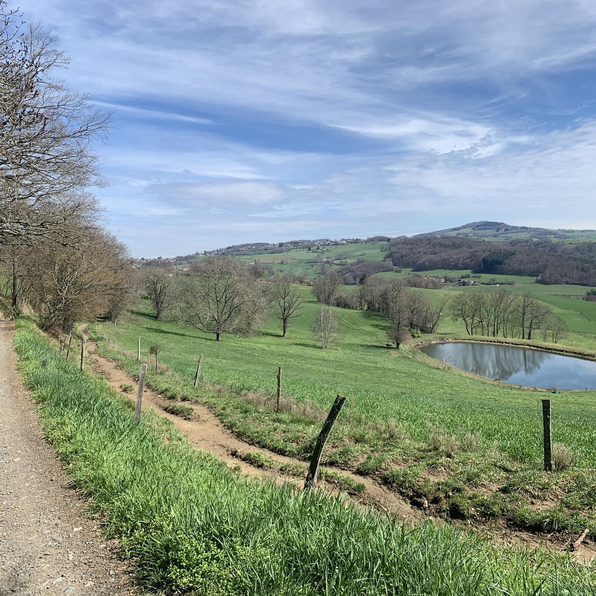
Beautiful body of water
0
0


Upon arriving at Saint-Symphorien-sur-Coise, you cannot miss the imposing church that dominates the village. The building, classified as a Historic Monument, has undergone a major renovation. This collegiate church is remarkable for its style but also particularly for its unusual shape. Indeed, the cramped terrain did not allow for the construction of the nave, which traditionally gives its monuments a cross shape.
0
0


Small hamlet, perfect for a stopover
0
0

The oldest parts date from the 15th century.
0
0

Primitive Chapel dedicated to Ste Anne known as the Oratory of Montbret, ideal place for a picnic.
0
0

Frequently Asked Questions
How many hiking trails are available around La Chapelle-Sur-Coise?
The region around La Chapelle-Sur-Coise offers a wide selection of routes, with over 320 hiking trails available. These range from easy strolls to more challenging excursions through the varied landscape.
What is the best time of year to go hiking in La Chapelle-Sur-Coise?
The best time for hiking in La Chapelle-Sur-Coise is generally from spring through autumn (April to October). During these months, the weather is typically mild and pleasant, perfect for enjoying the woodlands and open fields. Summer offers longer daylight hours, while spring and autumn provide beautiful seasonal colors.
Are there easy hiking trails suitable for families in La Chapelle-Sur-Coise?
Yes, La Chapelle-Sur-Coise has over 80 easy hiking trails, many of which are suitable for families. These routes often feature gentle terrain and shorter distances. An excellent option for a shorter outing is the Hiking loop from La Vaure, an easy 4 km (2.5 miles) path through the local countryside.
Can I bring my dog on the hiking trails in La Chapelle-Sur-Coise?
Most hiking trails in the rural areas around La Chapelle-Sur-Coise are dog-friendly, though it's always advisable to keep your dog on a leash, especially when passing through agricultural land or near livestock. Always respect local signage regarding pets.
Are there any circular hiking routes in the area?
Yes, many of the trails around La Chapelle-Sur-Coise are designed as circular routes, allowing you to start and end at the same point. An example is the La Roche Samson loop from La Chapelle-sur-Coise, which offers varied landscapes over 9.5 km (5.9 miles).
What kind of scenery can I expect on hikes around La Chapelle-Sur-Coise?
Hikers in La Chapelle-Sur-Coise can expect a diverse rural landscape characterized by rolling hills, dense woodlands, and expansive open agricultural fields. The routes often connect small villages and offer scenic views of the surrounding Monts du Lyonnais.
Are there any notable viewpoints or landmarks along the trails?
Yes, the region offers several points of interest. You can find scenic viewpoints like the Granite Outcrop View or visit significant natural monuments such as Crêt de la Madone and Le Signal de Saint André. The Crêt Malherbe, the highest point of the Monts du Lyonnais, also offers expansive vistas.
What are the typical durations for hikes in La Chapelle-Sur-Coise?
Hike durations vary significantly. Easy trails, like the Hiking loop from La Vaure, can be completed in under 1.5 hours. Moderate routes, such as the Climbing area – Saint-Symphorien-sur-Coise loop, typically take around 2 hours. Longer, more difficult trails can extend to 5 hours or more, like the Water level – As far as the eye can see loop from Rampeaux.
What do other hikers enjoy most about the trails in La Chapelle-Sur-Coise?
The hiking experience in La Chapelle-Sur-Coise is highly regarded by the komoot community, with an average rating of 4.6 stars from over 700 reviews. Hikers frequently praise the region's diverse terrain, the peaceful rural setting, and the well-maintained paths that offer a mix of woodlands and open views.
Are there any trails that pass by lakes or water features?
Yes, some routes in the broader area will take you near water features. For example, the Water level – Tour of the Kings loop from Saint-Symphorien-sur-Coise includes sections with water views. Additionally, nearby attractions include Lac du Ronzey and the Thurins Dam, which can be incorporated into longer excursions.
How can I find less crowded hiking trails in La Chapelle-Sur-Coise?
While the most popular routes are well-trafficked, the extensive network of over 320 trails means there are many quieter options. To find less crowded paths, consider exploring some of the moderate or difficult routes, or choose trails that start from smaller hamlets rather than the main villages. Hiking during off-peak hours or weekdays can also provide a more solitary experience.
Is parking generally available at trailheads in La Chapelle-Sur-Coise?
In La Chapelle-Sur-Coise and the surrounding villages, you can typically find public parking areas near the starting points of many trails. These are often located in village centers or designated parking spots for local attractions. It's always a good idea to check the specific route details on komoot for recommended parking locations.
Most popular routes around La Chapelle-Sur-Coise
Most popular attractions around La Chapelle-Sur-Coise

Get inspired with the komoot mobile app


Explore more
Browse the best Hikes in other regions.
