The best walks and hikes around Ambleny
4.5
(285)
910
hikers
148
hikes
Hiking around Ambleny, located in the Aisne department of France, offers a landscape characterized by gentle hills, agricultural fields, and scattered woodlands. The region features a network of trails that often lead through historical sites and past natural water features like ponds. Elevations are generally modest, making many routes accessible for various fitness levels.
Best hiking trails around Ambleny
- The most popular hiking route is Le fond Guesot and the ponds of Fontenoy — loop from Fontenoy, a 6.0…
Last updated: June 25, 2026
4.6
(14)
31
hikers
9.59km
02:35
120m
120m
Moderate hike. Good fitness required. Easily-accessible paths. Suitable for all skill levels.
3.7
(3)
5
hikers
6.12km
01:39
80m
80m
Easy hike. Great for any fitness level. Easily-accessible paths. Suitable for all skill levels.

Sign up for free
5.0
(1)
4
hikers
10.2km
02:49
180m
180m
Moderate hike. Good fitness required. Easily-accessible paths. Suitable for all skill levels.
4.3
(3)
22
hikers
12.2km
03:27
260m
250m
Moderate hike. Good fitness required. Easily-accessible paths. Suitable for all skill levels.
5.0
(2)
19
hikers
12.2km
03:27
260m
260m
Moderate hike. Good fitness required. Easily-accessible paths. Suitable for all skill levels.
Get access to more routes and recommendations from other explorers.
Sign up for free
Already have an account?
Our route recommendations are based on thousands of hikes, rides, and runs completed by other people on komoot.
Start today with a free account
Your next adventure awaits.
Login or Signup


Tips from the Community


Unfortunately, we have to disagree with Willem VS here: both the church and the keep are closed to the public. But the pigeons have certainly turned it into a giant playground.
5
0

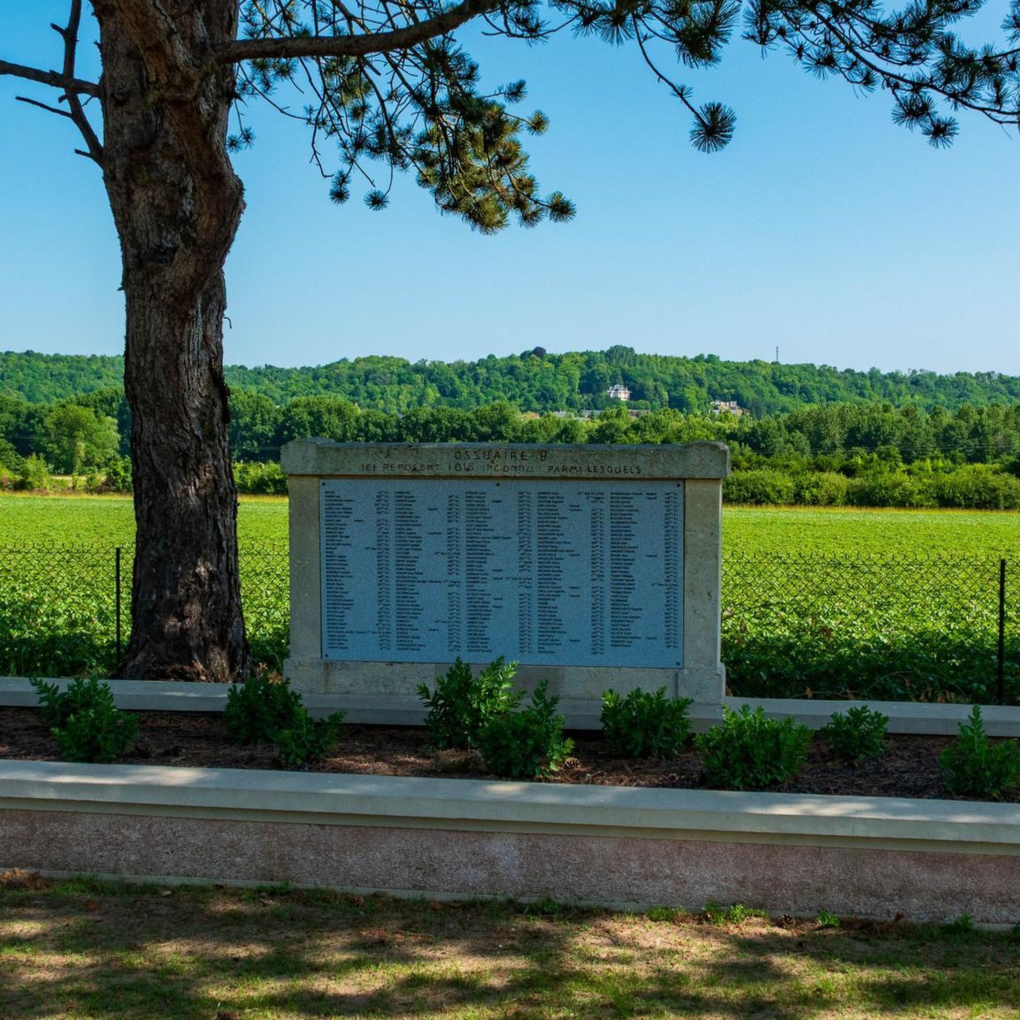
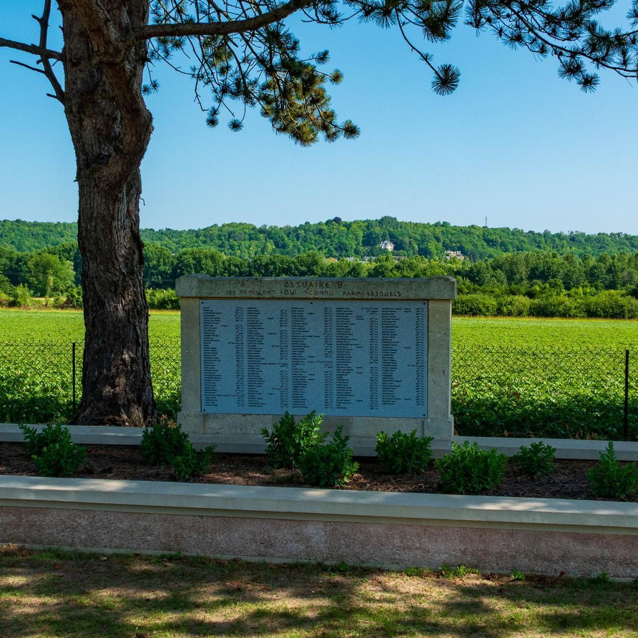
In the footsteps of the Poilus
0
0
In the footsteps of the Poilus
0
0
There is a trench right next to it
0
0
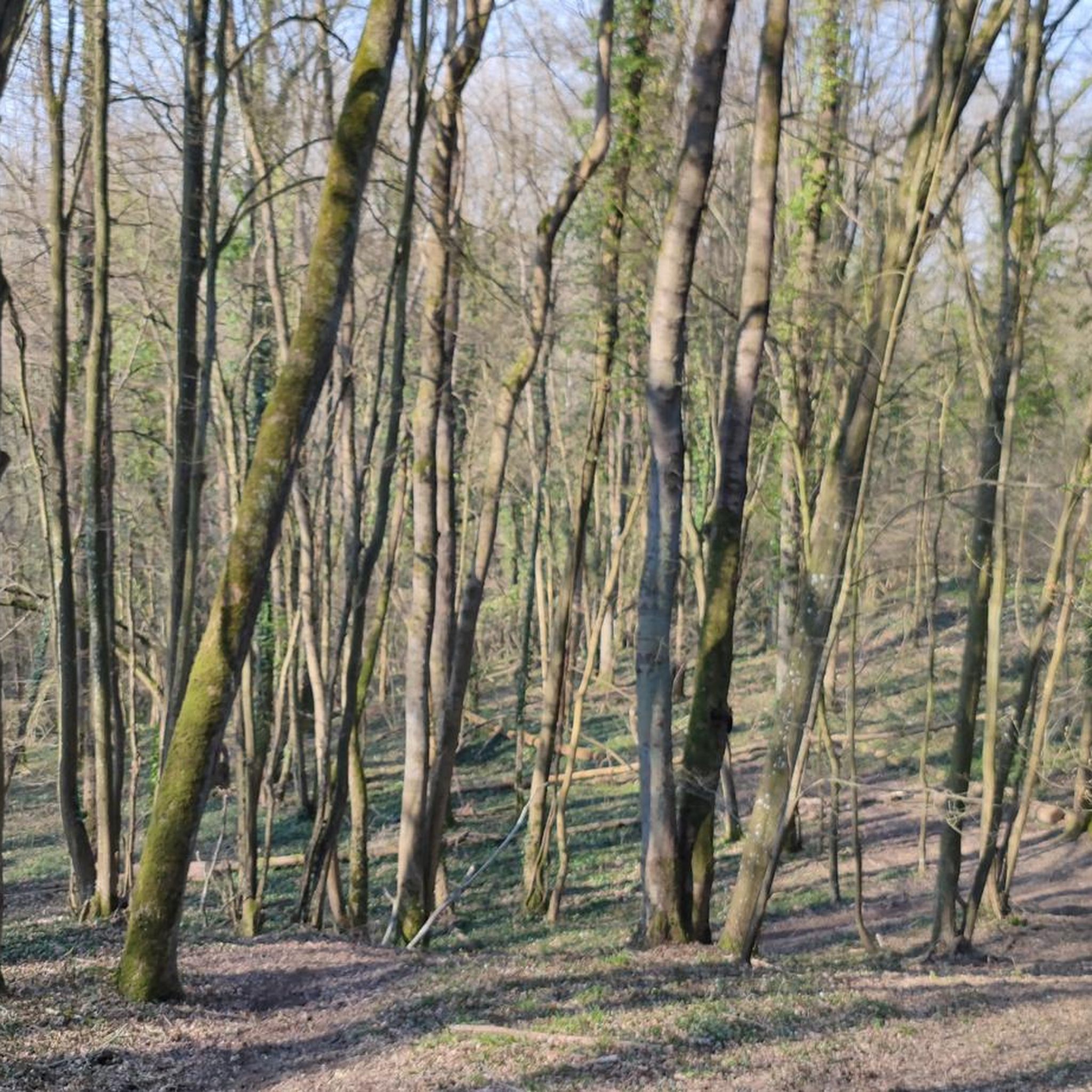
Great place to discover in the forest
0
0
Possibility to sit on the steps for a meal or a break. Lamp recommended
0
0

Built in 1929 by the Marquis de Croix, owner of the land, this monument symbolises the suffering of all the soldiers who fought on the Confrécourt plateau during the First World War. The monument is in the shape of a broken cross, reminiscent of the many postcards showing crucifixes or Christs who miraculously survived the bombardments of the war. The monument is located near a stone marker that marks the furthest advance of the German troops during their offensives in 1918. You can also see the new Confrécourt farm, rebuilt after the war on the site where the French front lines were located.
0
0
Frequently Asked Questions
How many hiking trails are available around Ambleny?
There are over 130 hiking trails around Ambleny. These routes cater to various skill levels, with approximately 66 easy trails, 64 moderate trails, and a few more challenging options.
Are there any easy hiking trails suitable for beginners or families?
Yes, Ambleny offers many easy trails. For a pleasant and accessible walk, consider the Le Roc de Pernant Trail, which is 3.8 miles (6.1 km) long and takes about 1 hour 40 minutes. It offers nice views from the Roc de Pernant.
What kind of terrain can I expect on hikes in Ambleny?
The hiking trails around Ambleny are characterized by gentle hills, agricultural fields, and scattered woodlands. You'll often find routes leading through historical sites and past natural water features like ponds. The elevations are generally modest, making most routes accessible.
Are there any circular hiking routes around Ambleny?
Many trails in the region are designed as loops. For example, the Hiking loop from Ressons-le-Long is a moderate 7.6-mile (12.2 km) route that takes around 3 hours 27 minutes to complete, offering a varied experience.
What historical sites or landmarks can I see while hiking near Ambleny?
The region is rich in history. You can explore trails that pass by significant sites such as the Pierrefonds Castle or the Longpont Abbey. The Executed of Vingré Memorial Trail is another route that leads through historical landscapes.
What is the best time of year to go hiking in Ambleny?
Spring and autumn are generally the most pleasant seasons for hiking in Ambleny. The weather is mild, and the natural scenery is particularly beautiful with blooming flowers or vibrant fall foliage. Summer can also be enjoyable, but it's advisable to start early to avoid the midday heat.
Are there any longer hiking trails for experienced hikers?
Yes, for those seeking a longer challenge, the Château de Mainville loop from Ambleny is a moderate 7.8-mile (12.5 km) trail that typically takes about 3 hours 31 minutes to complete, offering a good workout through varied landscapes.
What do other hikers say about the trails in Ambleny?
The trails around Ambleny are highly rated by the komoot community, with an average score of 4.5 stars from over 270 reviews. Hikers often praise the quiet woodlands, well-maintained paths, and the blend of natural beauty with historical interest.
Are there any trails that feature water bodies like ponds or rivers?
Yes, several routes incorporate natural water features. The Le fond Guesot and the ponds of Fontenoy — loop from Fontenoy is a moderate 6.0-mile (9.6 km) trail that specifically explores woodlands and passes by the scenic ponds of Fontenoy.
Is Ambleny accessible by public transport for hikers?
While Ambleny itself is a smaller commune, the wider Aisne region has some public transport options, primarily buses connecting larger towns. However, many trailheads are best reached by car. It's recommended to check local bus schedules for specific routes if relying on public transport.
Where can I find parking for hiking trails in Ambleny?
Parking is generally available in or near the villages where the trails begin. For routes starting from Fontenoy or Ressons-le-Long, you can usually find designated parking areas or street parking within the village centers. Always check local signage for any restrictions.
Are there any cafes or pubs near the hiking trails in Ambleny?
Ambleny and its surrounding villages offer a few local establishments where you can refresh after a hike. You'll find small cafes or traditional French bistros in the larger nearby towns like Vic-sur-Aisne or Attichy, which are a short drive from many trailheads.
Most popular attractions around Ambleny

Get inspired with the komoot mobile app


Explore more
Browse the best Hikes in other regions.
