The best walks and hikes around Gonfreville-L'Orcher
4.4
(1292)
8,500
hikers
368
hikes
Hiking around Gonfreville-L'Orcher offers diverse landscapes, from the Seine estuary to the Norman coastline. The region features scenic walking trails through the countryside, including local green spaces like Parc de la Vallée. Hikers can explore areas characterized by chalk cliffs, such as those near the Château d'Orcher, which overlooks the estuary. The broader vicinity provides access to the dramatic Falaises d'Etretat and the rugged Côte d'Alabatre, known for their white chalk formations.
Best hiking trails around Gonfreville-L'Orcher
- The most popular…
Last updated: July 9, 2026
3.9
(7)
27
hikers
9.63km
02:25
10m
10m
Moderate hike. Good fitness required. Easily-accessible paths. Suitable for all skill levels.
4.1
(7)
14
hikers
6.36km
01:43
90m
90m
Easy hike. Great for any fitness level. Easily-accessible paths. Suitable for all skill levels.

Sign up for free
4.5
(4)
18
hikers
9.95km
02:33
40m
40m
Moderate hike. Good fitness required. Easily-accessible paths. Suitable for all skill levels.
8
hikers
10.3km
02:50
180m
170m
Moderate hike. Good fitness required. Easily-accessible paths. Suitable for all skill levels.
1.0
(1)
3
hikers
11.5km
03:05
130m
140m
Moderate hike. Good fitness required. Easily-accessible paths. Suitable for all skill levels.
Get access to more routes and recommendations from other explorers.
Sign up for free
Already have an account?
Our route recommendations are based on thousands of hikes, rides, and runs completed by other people on komoot.
Start today with a free account
Your next adventure awaits.
Login or Signup
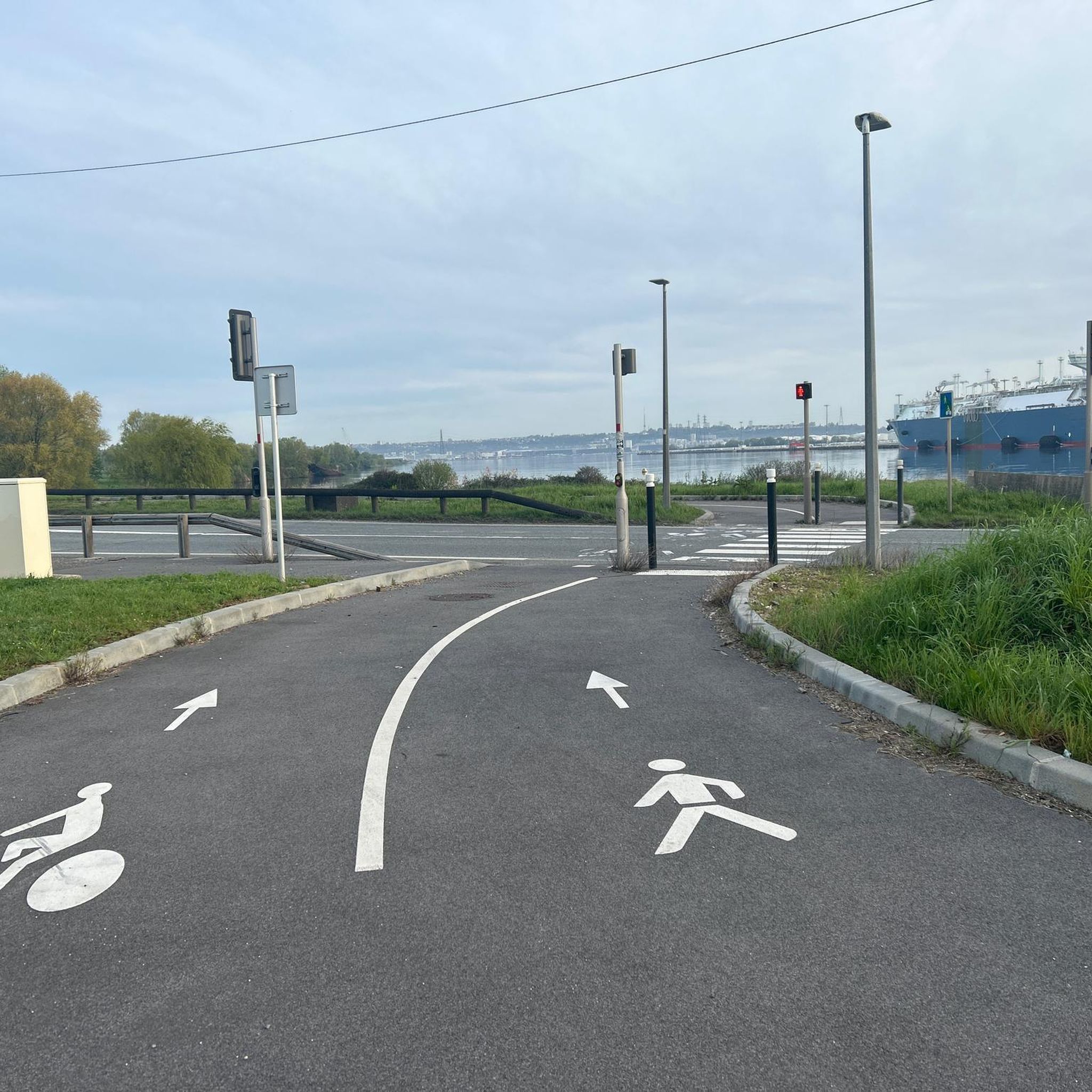
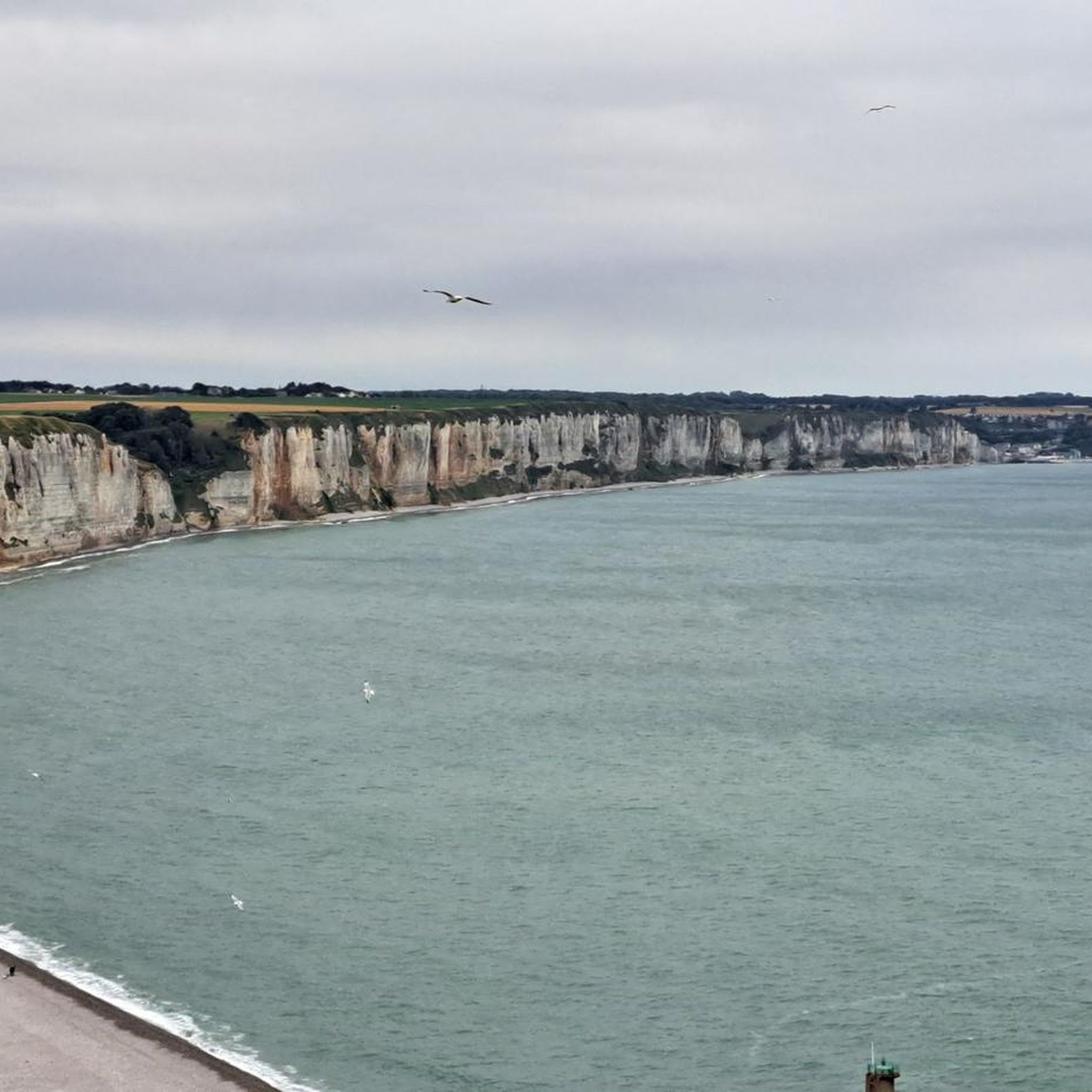
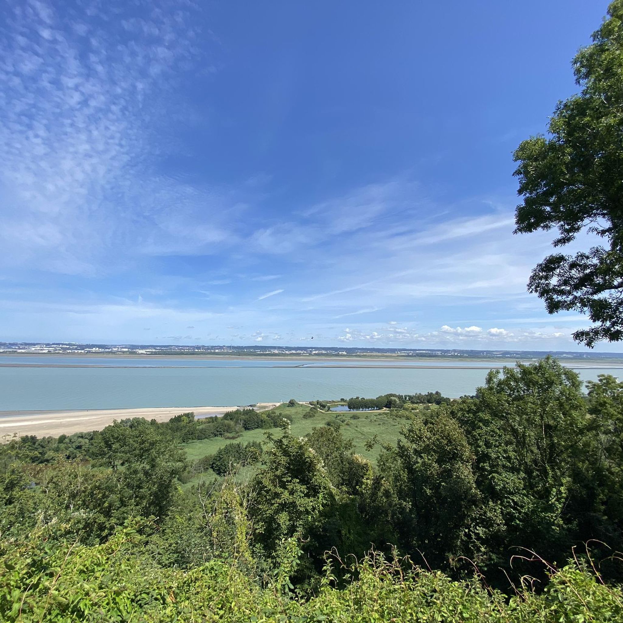

Tips from the Community


The Parc de Rouelles in Le Havre is a beautiful 198-hectare urban park, laid out on the site of a former farm. It retains its 17th-century manor house and dovecote, and also features a perennial garden, a deciduous tree park, themed exhibitions on nature, and a collection of tools and traditional objects from rural life. Since 2010, Scottish oxen have been used to maintain the meadows, and there are three playgrounds, a sports field, a petanque court, 22 km of footpaths and picnic areas.
1
0

The abbaye is located in the Graville-Saint-Honorine district, just outside the city center of Le Havre. The abbaye is a museum and can be visited. The building, which dates back to the 11th century, is well worth a visit.
2
0

Faced with the rapid increase in road traffic, the idea of a second bridge connecting the two banks of the Seine was born in 1972. The Normandy Bridge, which was opened on 26 January 1995, is a true engineering feat: 2141.25 m long, 23.60 m wide, pylons 214 m high, 7 years of work... and 10 million hours of work.
2
0


The Pont de Normandie (English: Normandy Bridge) is a cable-stayed bridge that has the longest span in Europe at 856 m. It crosses the Seine estuary and connects Le Havre (then Upper Normandy) on the right bank to the north with Honfleur (then Lower Normandy) on the left bank to the south. The bridge was built between 1988 and 1994 and was inaugurated on January 20, 1995. The 23.60 m wide bridge has a total length of 2141.25 m. It consists of the southern approach bridges with twelve spans and spans of 96.00 m + 9×43.50 m + 32.5 m + 3×70 m + 27.75 m (= 547.75 m), the northern approach bridges with 16 spans and spans of 96.00 m + 14×43.50 m + 32.50 m (= 737.50 m) and the 856 m large one main opening. The 3 m high superstructure of the main opening consists of a 624 m long central steel section, which is followed on both sides by 116 m long prestressed concrete sections. The pylons of the cable-stayed bridge are 203 m high and each carry 2×23 cables. The passage height for ships is 52 m at the highest known water level. Source: de.wikipedia.org/wiki/Pont_de_Normandie
3
0

Very accessible trail - boots recommended for the end of the route - immersed in the reedbed with very beautiful views.
0
0

At the toll booth here you will find an information center for the bridge, which is a good 800m away. It shows the history of the bridge with a model to illustrate the construction, as well as detailed depictions of anchorages and the cross-section of a pylon. In order to get from here to the highest point of the bridge, you should plan an hour with the return journey. The road is of course annoying, but on the way you have a nice view over the reeds in the Seine delta. To the north you can see the other highway bridge, which is also impressive.
9
2
Frequently Asked Questions
How many hiking trails are available around Gonfreville-L'Orcher?
There are over 370 hiking routes around Gonfreville-L'Orcher, offering a wide variety of options for all skill levels. You'll find everything from easy strolls to more challenging treks through diverse landscapes.
What kind of terrain can I expect on hikes near Gonfreville-L'Orcher?
The terrain around Gonfreville-L'Orcher is quite varied. You can expect scenic walking trails through the countryside, paths along the Seine estuary, and even dramatic chalk cliffs, especially near the Château d'Orcher. The broader region also features the iconic white chalk formations of the Falaises d'Etretat and the rugged Côte d'Alabatre.
Are there any easy or beginner-friendly hiking trails in Gonfreville-L'Orcher?
Yes, Gonfreville-L'Orcher offers many easy options suitable for beginners. For instance, the Château d'Orcher loop from Gonfreville-l'Orcher is an easy 2.6 km trail that provides lovely views of the Seine estuary. The Abbaye de Montivilliers – The Lézarde loop from Montivilliers is another easy 5.5 km route through historical areas.
What natural features or landmarks can I explore while hiking?
Beyond the trails themselves, you can discover several interesting natural features and landmarks. The Forêt de Montgeon offers beautiful forest walks. You can also visit the historic Château du Bec or enjoy the tranquil Lac de Saint-Romain-de-Colbosc. The region is also close to the stunning Falaises d'Etretat and the Côte d'Alabatre, known for their dramatic cliffs.
Are there any circular walks available around Gonfreville-L'Orcher?
Yes, many of the trails are circular, allowing you to start and end at the same point. A notable example is the Rouelles Park loop from Harfleur, a moderate 10.7 km path through parkland. The Château d'Orcher loop from Gonfreville-l'Orcher is also a popular circular option.
What do other hikers enjoy the most about hiking in Gonfreville-L'Orcher?
The area is highly rated by the komoot community, with an average score of 4.4 stars from over 1200 reviews. Hikers often praise the diverse landscapes, from coastal paths and river valleys to peaceful countryside trails, and the variety of routes suitable for different ability levels.
Are there family-friendly walks suitable for children?
Absolutely. Many of the easier trails are perfect for families. The Château d'Orcher loop from Gonfreville-l'Orcher is a short, easy option. Additionally, the local Parc de la Vallée offers winding paths and a tranquil environment ideal for leisurely family strolls and picnics.
Can I bring my dog on the hiking trails?
Generally, dogs are welcome on many of the hiking trails in the region, especially in natural areas and countryside paths. However, it's always recommended to keep them on a leash and check specific regulations for nature reserves or private properties you might encounter along your chosen route.
What is the best time of year to go hiking in Gonfreville-L'Orcher?
The spring and summer months (April to September) generally offer the most pleasant weather for hiking, with milder temperatures and longer daylight hours. However, the varied landscapes, including coastal paths, can be enjoyed year-round, with autumn providing beautiful foliage and winter offering crisp, quiet walks.
Are there options for public transport or parking near trailheads?
Gonfreville-L'Orcher is well-connected, and many trailheads are accessible by car with parking available. For specific routes, it's advisable to check the komoot tour details for information on starting points and potential parking facilities. Public transport options may also be available to reach the town and surrounding areas, connecting to various starting points.
Are there any longer, more challenging hikes available?
While many routes are easy to moderate, there are options for longer and more challenging hikes. The 'Circuit de la Pointe de Caux', a 15 km loop starting in Gonfreville-L'Orcher, is considered of medium difficulty and offers a more extended exploration of the Pays de Caux region. You can find 12 difficult routes in the area for a greater challenge.
Where can I find information about the local area or tourist services?
For more information about Gonfreville-L'Orcher and its surrounding attractions, you can visit the official tourism website for the area: lehavre-etretat-tourisme.com. They often provide details on local services, events, and additional points of interest.
Most popular routes around Gonfreville-L'Orcher
Most popular attractions around Gonfreville-L'Orcher

Get inspired with the komoot mobile app


Explore more
Browse the best Hikes in other regions.
