The best road cycling routes around Calanhel
4.6
(14)
910
riders
51
rides
Road cycling around Calanhel features undulating rural landscapes and a network of routes traversing valleys and historical areas. The region's terrain includes varied elevation changes, offering both challenging climbs and more moderate sections. Road cyclists can expect to encounter a mix of open countryside and tree-lined roads.
Best road cycling routes around Calanhel
- The most popular road cycling route is The Valley of the Saints – Callac loop from Callac, a 81.2 miles (130.7 km) trail that takes 6…
Last updated: July 4, 2026
5.0
(3)
372
riders
131km
06:27
1,750m
1,750m
Hard road ride. Very good fitness required. Mostly well-paved surfaces and easy to ride.
5.0
(2)
203
riders
95.6km
04:37
1,180m
1,180m
Hard road ride. Very good fitness required. Mostly well-paved surfaces and easy to ride.

Sign up for free
4.7
(6)
83
riders
58.8km
02:55
740m
740m
Moderate road ride. Good fitness required. Mostly well-paved surfaces and easy to ride.
60
riders
94.1km
04:25
1,040m
1,040m
Hard road ride. Very good fitness required. Mostly well-paved surfaces and easy to ride.
3.0
(1)
17
riders
59.7km
02:55
620m
620m
Moderate road ride. Good fitness required. Some segments of this route may be unpaved and difficult to ride.
Get access to more routes and recommendations from other explorers.
Sign up for free
Already have an account?
Our route recommendations are based on thousands of hikes, rides, and runs completed by other people on komoot.
Start today with a free account
Your next adventure awaits.
Login or Signup




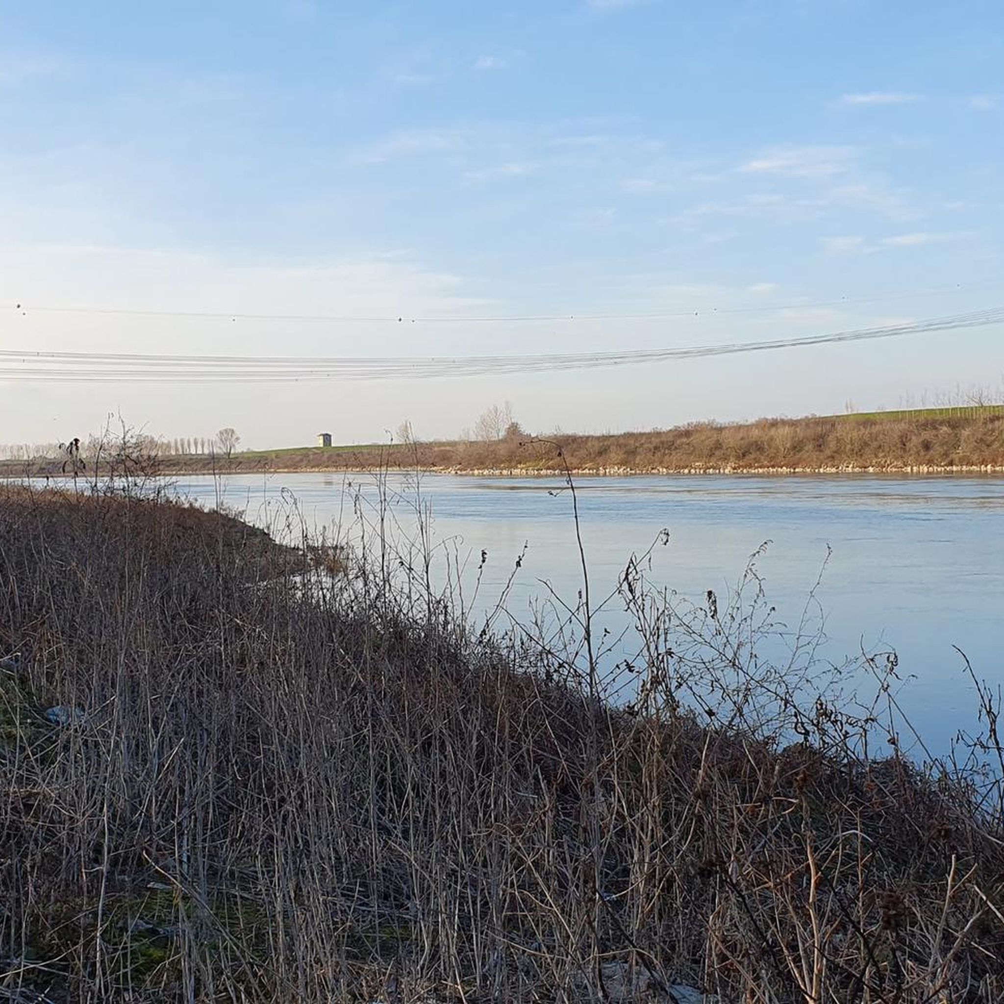
Tips from the Community

A pretty iron bridge, built for farmers at the time. Here the path along the water was in a bad state in April 2026 (a warning was installed on one side of the section, but a detour through the forest is possible).
0
0

This is one of the very few straight sections of the canal.
0
0
Here the canal meanders through the landscape.
0
0

A welcome breath of fresh air
0
0

The Saint-Nicodème church dates from the 16th and 17th centuries. It apparently replaced a primitive chapel located in St-Cognan, a village near the town, and was partially rebuilt in the 17th and 19th centuries. There is a parish enclosure there.
0
0
At an altitude of 184 m, the Glomel trench is the highest point of the Nantes-Brest canal and the watershed between the Blavet and Aulne basins. The canal project and its passage through the center of Brittany dates back to Vauban, the decision and the route to Napoleon. The impressive trench allows the Aulne and Blavet watersheds to communicate via the canal. The Grande Trenche of the Canal from Nantes to Brest was dug in the 19th century by deserters from the army of Louis XVIII. The 4000 convicts of Glomel had to move as much earth and rock as was necessary for the construction of a great pyramid in Egypt. It took 9 years to create this trench, more than 3 kilometers long, 100 meters wide and 23 meters deep.
0
0

Belle-Isle-en-Terre is a very picturesque town nestled in the folds of the Bretagne landscape. It's home to a stunning chateau, a tiny aquarium and a whole host of beautiful, historical buildings.
1
0

The dams for the Canal de Nantes à Brest create a lake from the waters of a little stream, the bike trail passes on the back of the levy
0
0
Frequently Asked Questions
How many road cycling routes are available around Calanhel?
There are over 45 road cycling routes around Calanhel, offering a variety of options for different skill levels. The komoot community has explored these routes over 800 times.
Are there road cycling routes suitable for beginners in Calanhel?
Yes, Calanhel offers a few routes suitable for beginners. While many routes are moderate to difficult, there are 3 easy routes available. These typically feature less elevation gain and shorter distances, making them ideal for those new to road cycling.
What are some challenging road cycling routes in the Calanhel area?
For experienced cyclists seeking a challenge, Calanhel has 11 difficult routes. One notable option is The Valley of the Saints – Callac loop from Callac, which spans 81.2 miles (130.7 km) with significant elevation changes, exploring scenic valleys and rural landscapes.
What is the typical length and duration of road cycling routes in Calanhel?
Routes vary significantly in length and duration. For instance, the Belle-Isle-en-Terre – Callac loop from Callac is a moderate 36.5 miles (58.8 km) route taking about 2 hours 54 minutes. More challenging routes, like Kerroué Manor – Callac loop from Callac, can be up to 60.7 miles (97.6 km) and take over 4 hours to complete.
Are there any loop road cycling routes around Calanhel?
Yes, many of the road cycling routes in Calanhel are designed as loops, allowing you to start and finish at the same point. Examples include Church of Pulat Plestivien – Callac loop from Callac and Callac – Saint-Nicodème Church loop from Callac.
What kind of scenery can I expect on road cycling routes in Calanhel?
Road cycling around Calanhel offers undulating rural landscapes, traversing scenic valleys and historical areas. You'll encounter a mix of open countryside, tree-lined roads, and views of historical manors and churches, characteristic of inland Brittany.
What are some interesting landmarks or attractions to see along the road cycling routes?
Many routes pass by significant local attractions. You might encounter the impressive Valley of the Saints, the historic Saint-Gildas Chapel, or the grand Château Coat an Noz. The region also features charming towns like Guerlesquin.
When is the best time of year for road biking in Calanhel?
The best time for road biking in Calanhel is generally from spring to early autumn (April to October). During these months, the weather is typically milder and more stable, with less rain, making for more enjoyable cycling conditions through the rural landscapes.
Are there opportunities for cafe stops or refreshments along the routes?
Given the routes often pass through or near small towns and villages like Callac, there are opportunities to find cafes, bakeries, or small shops for refreshments. Planning your route with potential stops in mind is recommended.
What do other road cyclists enjoy most about road cycling in Calanhel?
The area is highly rated by the komoot community, with an average score of 4.3 stars from nearly 20 reviews. Cyclists often praise the varied terrain, the quiet rural roads, and the opportunity to explore historical sites and scenic valleys.
Where can I find parking for road cycling routes in Calanhel?
Many routes, including the most popular ones, start from Callac. This town offers various parking options, making it a convenient base for beginning your road cycling adventure. Specific parking details can often be found in the individual route descriptions on komoot.
Most popular attractions around Calanhel

Get inspired with the komoot mobile app


Explore more
Browse the best Road cycling routes in other regions.
