The best walks and hikes around Les Hautes-Rivières
4.4
(1642)
7,591
hikers
45
hikes
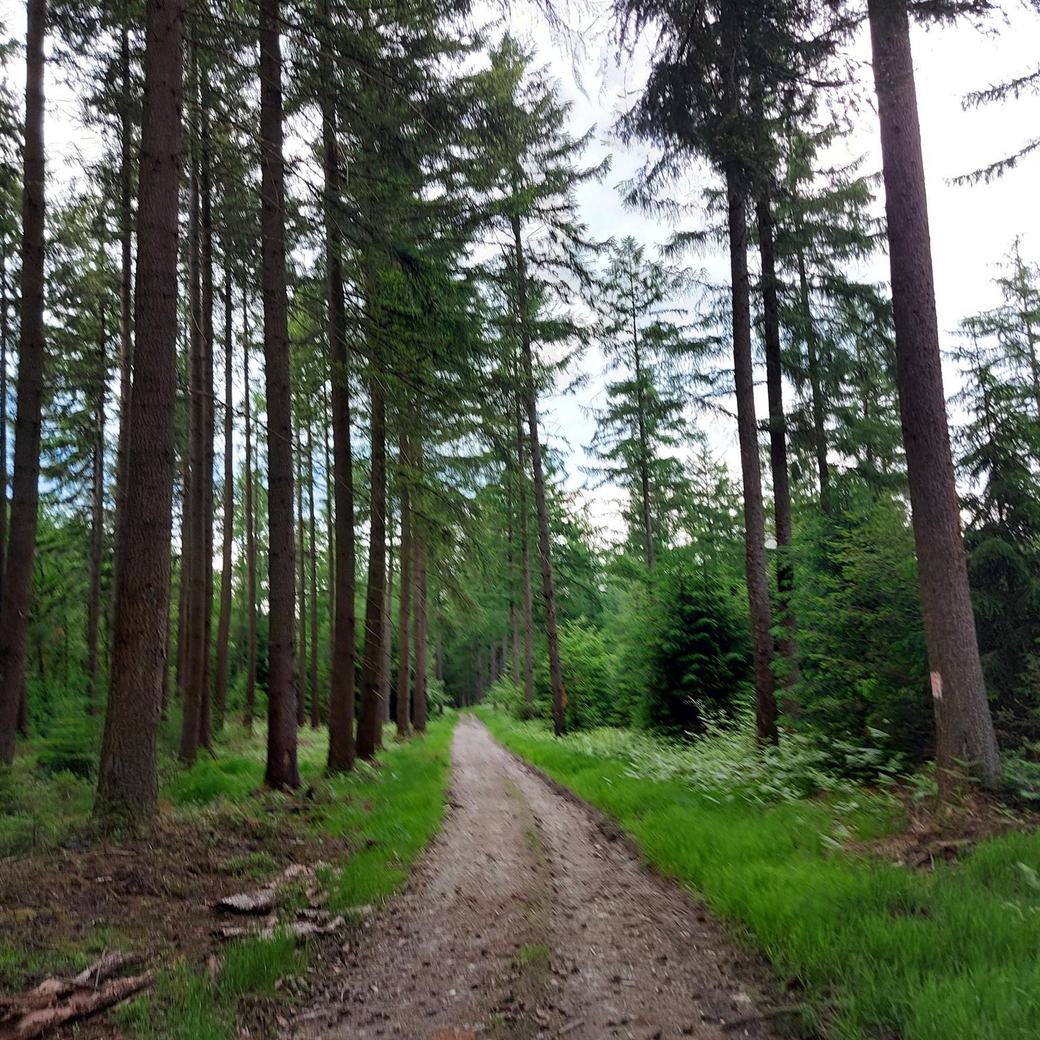
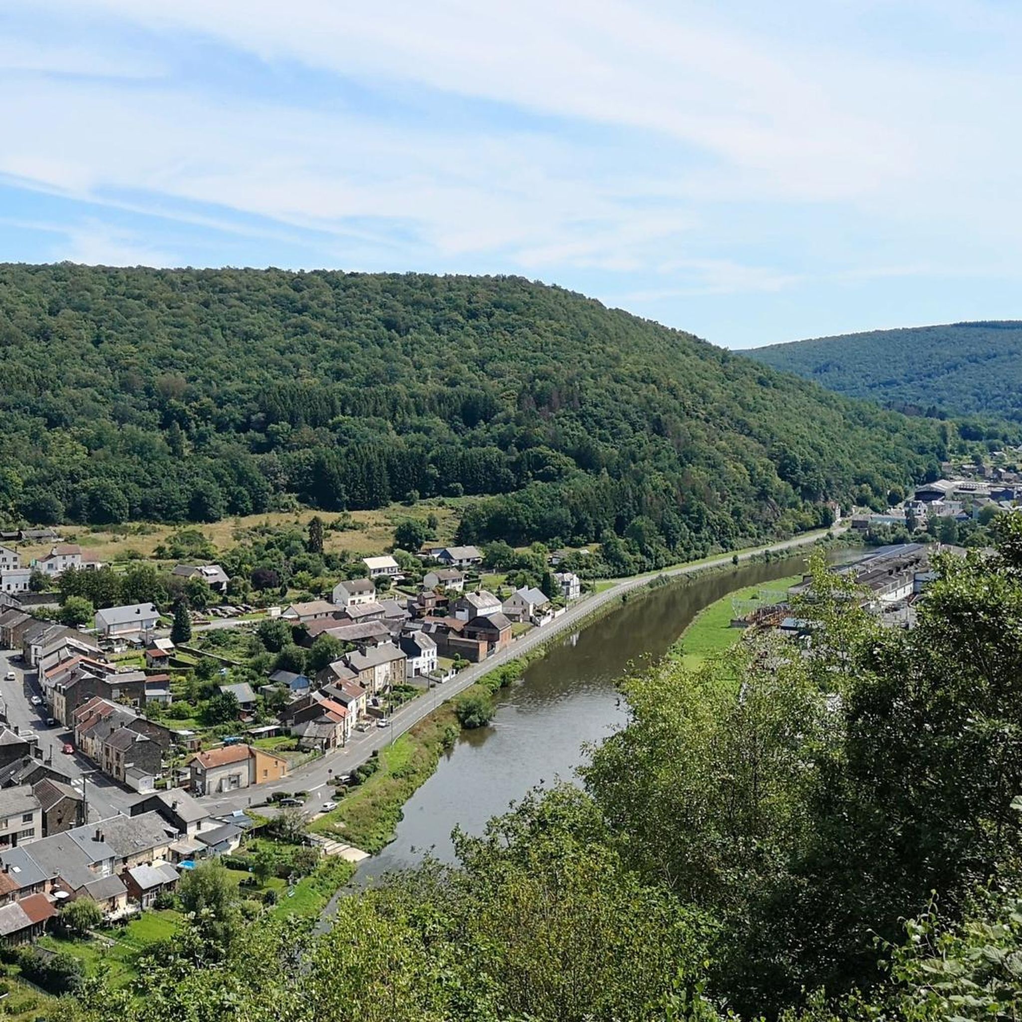
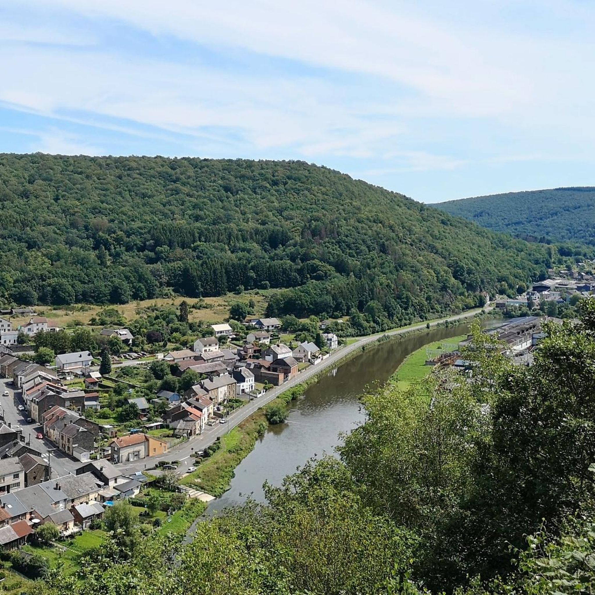
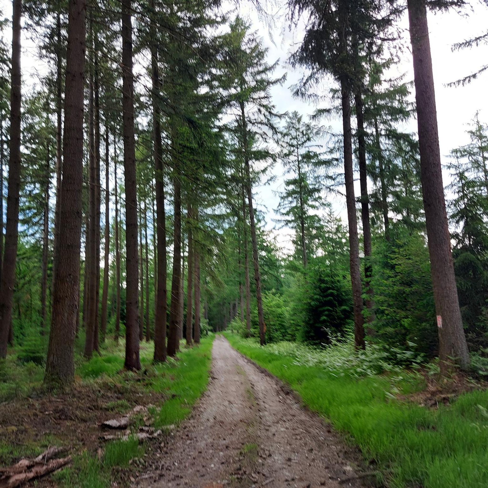
Hiking around Les Hautes-Rivières offers diverse natural landscapes within the Ardennes department of northern France. The region is characterized by the scenic Semois River valley, extensive deciduous and pine forests, including the Château-Regnault National Forest, and the rugged terrain of the Ardennes Massif, which reaches an altitude of 504 meters. Situated within the Ardennes Regional Nature Park, the area provides a preserved natural environment for outdoor exploration.
Best hiking trails in Les Hautes-Rivières
- The most popular hiking route is La…
Last updated: July 7, 2026
4.6
(12)
42
hikers
15.2km
04:39
530m
530m
Moderate hike. Good fitness required. Easily-accessible paths. Suitable for all skill levels.
4.2
(5)
28
hikers
18.0km
05:27
570m
570m
Hard hike. Very good fitness required. Mostly accessible paths. Sure-footedness required.

Sign up for free
4.6
(38)
237
hikers
12.4km
03:37
320m
320m
Moderate hike. Good fitness required. Easily-accessible paths. Suitable for all skill levels.
4.6
(12)
35
hikers
20.1km
05:41
430m
430m
Hard hike. Very good fitness required. Easily-accessible paths. Suitable for all skill levels.
4.3
(3)
31
hikers
Moderate hike. Good fitness required. Easily-accessible paths. Suitable for all skill levels.
Get access to more routes and recommendations from other explorers.
Sign up for free
Already have an account?
Our route recommendations are based on thousands of hikes, rides, and runs completed by other people on komoot.
Start today with a free account
Your next adventure awaits.
Login or Signup
Popular around Les Hautes-Rivières

Other adventures around Les Hautes-Rivières

Tips from the Community

What Paul_C said above is nonsense. There is NO "chemin des petitte croix" in this region, although there is one in central and southern France. It's nowhere to be found. So please, if we're going to share information, please make it CORRECT. This cave is only accessible via a few unnamed forest paths.
0
0

We just completed the hike, which is magnificent. Physical but superb. 14.7 km and 490 km of elevation gain. A little info: The Naux footbridge is closed due to severe corrosion. Probably for quite some time, unfortunately. It's impossible to cross. We must continue to the Thilay bridge.
0
0

The footbridge is closed. June 2025
2
0

The footbridge is closed due to damage to the structure
0
0
Super nice viewpoint on protruding rocks in a serene forest. Unofficial possibility for a bivouac.
1
0

The beautiful hiking trails are partly difficult for hikers because they have been destroyed by mountain bikers or induro bikes.
2
1

This small bridge crosses the river and allows you to reach France, whose border is a few steps away. Be careful in winter, as the wood becomes very slippery.
0
0
Frequently Asked Questions
How many hiking trails are available in Les Hautes-Rivières?
Les Hautes-Rivières offers a wide selection of hiking routes, with over 45 trails recorded on komoot. These routes cater to various skill levels, from easy riverside walks to more challenging ascents within the Ardennes Massif.
Are there easy hiking trails suitable for beginners or families?
Yes, Les Hautes-Rivières has several easy hiking options. There are 11 routes classified as easy, perfect for those new to hiking or looking for a relaxed outing with family. These often follow the scenic Semois River valley, providing gentle terrain and beautiful views.
Which hikes offer the best panoramic views in Les Hautes-Rivières?
For breathtaking views, consider routes that lead to elevated points. The region is known for viewpoints like "La Roche à Sept Heures" overlooking the Meuse valley, and "Croix d'Enfer" with impressive vistas of the Semoy valley. The La Croix de l'Enfer and Roche Margot Loop is a moderate route specifically noted for its panoramic views and diverse river scenery.
What natural attractions can I see along the hiking trails?
The trails in Les Hautes-Rivières lead to several notable natural attractions. You can explore geological formations like Roc la Tour, or discover scenic river features such as Roche Bayart and Les Dames de Meuse. Many routes also traverse the expansive Château-Regnault National Forest, offering a serene natural setting.
Can I hike with my dog in Les Hautes-Rivières?
Generally, dogs are welcome on hiking trails in Les Hautes-Rivières, especially given the region's natural and forested environment within the Ardennes Regional Nature Park. However, it's always advisable to keep your dog on a leash, especially in areas with wildlife or near livestock, and to check for any specific local regulations or protected areas that might have restrictions.
When is the best time of year to go hiking in Les Hautes-Rivières?
Les Hautes-Rivières offers enjoyable hiking experiences throughout much of the year. Spring and autumn provide pleasant temperatures and beautiful scenery, with vibrant foliage in fall. Summer is also popular, though trails can be busier. Winter hiking is possible, but some paths might be muddy or icy, so appropriate gear is essential.
Are there any circular hiking routes available?
Yes, many of the trails in Les Hautes-Rivières are designed as circular routes, allowing you to start and end at the same point. Examples include the challenging The Devil's Cave and the Roche du Saut Thibault — loop from Linchamps, which explores the forest, and the Wild forest – Roc la Tour loop from Linchamps, leading to the geological site of Roc la Tour.
What do other hikers enjoy most about the trails in Les Hautes-Rivières?
The hiking trails in Les Hautes-Rivières are highly regarded by the komoot community, with an average rating of 4.4 stars from over 1400 reviews. Hikers frequently praise the diverse landscapes, the scenic beauty of the Semois River valley, and the immersive experience of exploring the extensive forests and panoramic viewpoints.
Are there any historical sites or landmarks to visit while hiking?
While primarily known for its natural beauty, the region does have points of interest. You can find historical sites like the Maquis des Blaireaux Camp. Additionally, the area features several bridges, such as the Saint-Lambert Bridge and the Broken Bridge at Bohan, which add character to riverside walks.
What is the highest point in the French Ardennes Massif, and can I hike there?
Les Hautes-Rivières is home to the highest point in the French Ardennes Massif, reaching an altitude of 504 meters. While specific trails directly to the absolute summit might vary, many challenging routes in the area, such as the Hautes Rivières viewpoint – Champs Bernard Shelter loop from Les Hautes-Rivières, involve significant elevation gain and offer a taste of the rugged terrain at higher altitudes within the massif.
Are there any long-distance hiking trails that pass through Les Hautes-Rivières?
Yes, for those interested in longer treks, the region is part of the GR 16: Sentier de la Semois. This long-distance trail winds through the area, following the picturesque Semois River, and offers an extended exploration of the valley and its surrounding landscapes.
Most popular routes around Les Hautes-Rivières
Most popular attractions around Les Hautes-Rivières

Get inspired with the komoot mobile app


Explore more
Browse the best Hikes in other regions.
