The best running trails around Saint-Just-En-Bas
4.7
(12)
622
runners
102
runs
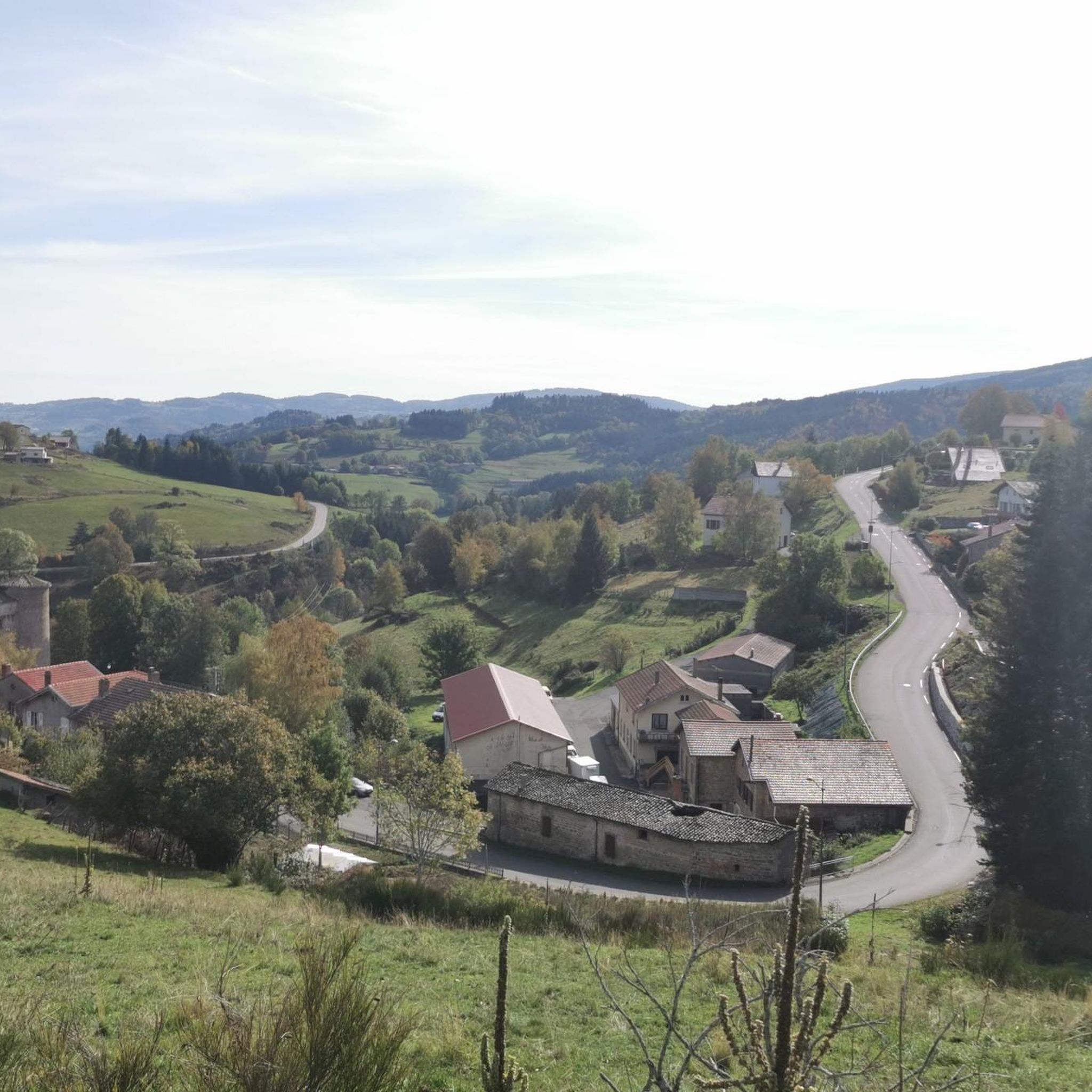
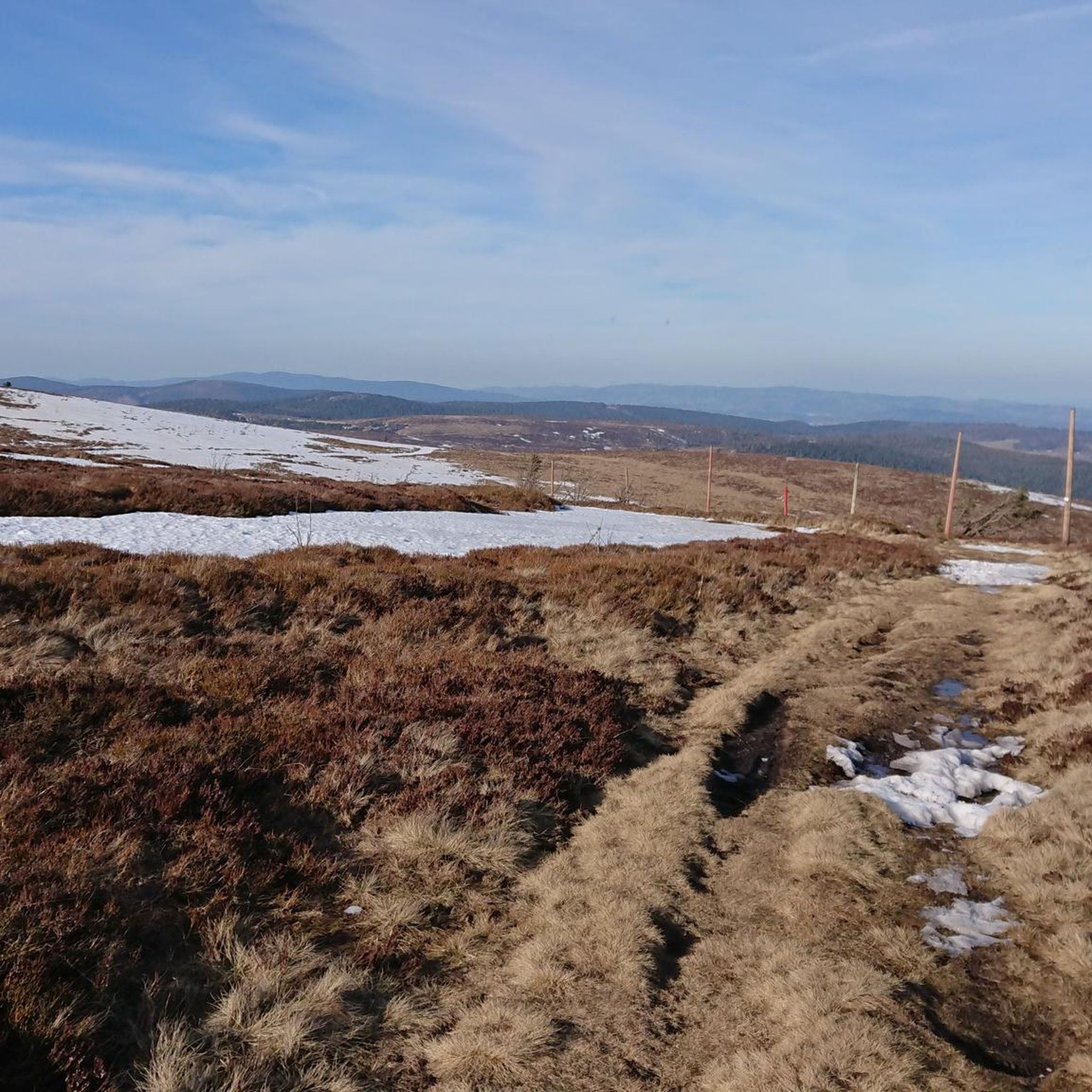
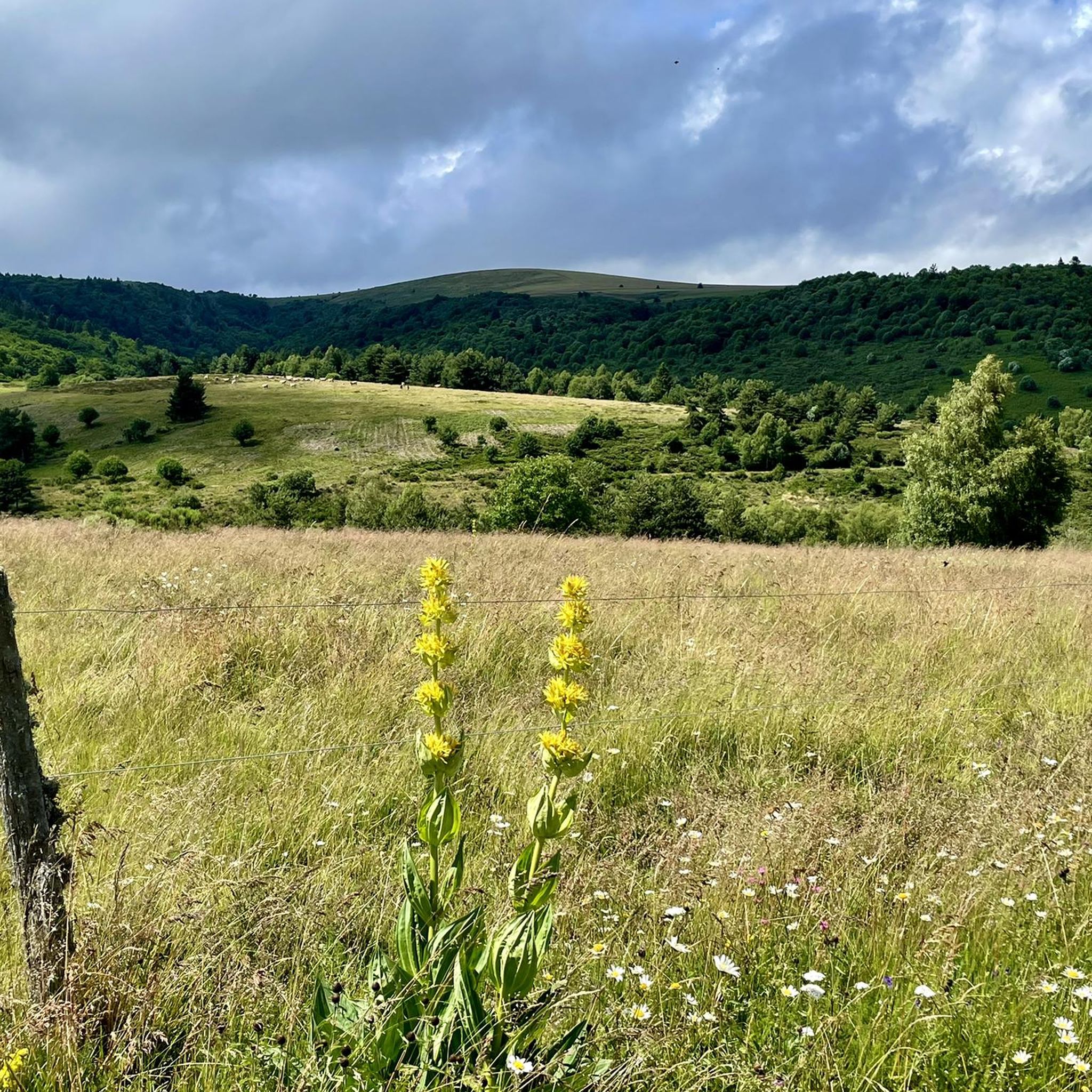
Jogging around Saint-Just-En-Bas offers diverse natural landscapes within the Auvergne-Rhône-Alpes region of central France. The area features extensive forests covering 56.1% and meadows at 41.9%, providing varied terrain for running. Elevations range from 670 to 1,174 meters, allowing for routes with gentle slopes or more challenging ascents. This rural setting, including parts of the Monts du Forez and Hautes Chaumes, provides a tranquil environment for outdoor activities.
Best jogging routes around Saint-Just-En-Bas
- The most popular jogging route is Pierre–sur–Haute –…
Last updated: June 27, 2026
35
runners
9.43km
01:12
370m
370m
Hard run. Very good fitness required. Mostly paved surfaces. Suitable for all skill levels.
14
runners
15.0km
01:52
390m
380m
Hard run. Very good fitness required. Mostly paved surfaces. Suitable for all skill levels.

Sign up for free
5.0
(1)
10
runners
19.7km
02:25
520m
520m
Hard run. Very good fitness required. Mostly paved surfaces. Suitable for all skill levels.
7
runners
9.20km
01:08
250m
250m
Moderate run. Good fitness required. Mostly paved surfaces. Suitable for all skill levels.
3
runners
9.16km
01:04
230m
230m
Moderate run. Good fitness required. Mostly paved surfaces. Suitable for all skill levels.
Get access to more routes and recommendations from other explorers.
Sign up for free
Already have an account?
Our route recommendations are based on thousands of hikes, rides, and runs completed by other people on komoot.
Start today with a free account
Your next adventure awaits.
Login or Signup

Tips from the Community

Calm, quiet without real difficulties in VTE. Beautiful landscape
0
0

Beautiful view from the Virgin which is hidden on the route. There is a via ferrata that looks nice
0
0

Super pass to do from Sail sous Couzan for a real climb. It can be done in different variants by taking the traditional route, via St Just en bas or Palogneux. In any case, the roads remain very uncrowded and the landscapes are really beautiful with cliffs and pine forests. It almost feels like being in the south depending on where you look. Percentages are never too high. If we go through Palogneux the climb is steeper but a descent allows us to rest.
1
0

In the middle of the Forez mountains. A real pleasure !
0
0
Frequently Asked Questions
How many running routes are available in Saint-Just-En-Bas?
There are over 100 dedicated running routes around Saint-Just-En-Bas, offering a wide variety of distances and difficulties to explore the region's natural beauty.
What kind of terrain can I expect on the jogging trails in this region?
The jogging trails in Saint-Just-En-Bas feature diverse terrain, primarily characterized by extensive forests (56.1%) and open meadows (41.9%). You'll encounter varying elevations, from gentle slopes to challenging ascents, especially around the Monts du Forez and mountain passes like the Béal Pass and Col de la Loge.
Are there easy running routes suitable for beginners in Saint-Just-En-Bas?
Yes, while many routes offer a challenge, there are a few easier options available. You can find routes with less elevation gain, perfect for those new to trail running or looking for a more relaxed jog. Komoot lists 2 easy routes, and 50 moderate routes that could also be suitable for beginners looking to gradually increase their challenge.
Can I find challenging running trails with significant elevation gain?
Absolutely. Saint-Just-En-Bas is known for its challenging routes, with elevations ranging from 670 to 1,174 meters. Over 50 difficult routes are available, featuring significant ascents and descents, particularly around the Béal Pass and Pierre–sur–Haute. For example, the Col du Béal loop from Chalmazel-Jeansagnière is a difficult 38.9 km trail with over 1300 meters of elevation gain.
What natural landmarks or points of interest can I see while running?
Many running paths offer views of notable natural landmarks. You can pass by the scenic Béal Pass, the tranquil Col de la Loge, or even reach the summit of Pierre–sur–Haute. The Roc de l'Olme near Chalmazel also offers unique panoramic views, especially vibrant in autumn.
Are there any historical features along the running paths?
Yes, some routes incorporate historical elements. You might encounter features such as the Roman bridge in the hamlet of Boissel or various crosses in different hamlets, adding a cultural dimension to your outdoor run through the French countryside.
Are there any circular running routes in the area?
Many of the running routes in Saint-Just-En-Bas are designed as loops, allowing you to start and finish at the same point. Examples include the challenging Pierre–sur–Haute – Béal Pass loop from Chalmazel or the moderate Col de la Loge (1,253 m) loop from La Montagnette.
What do other runners say about the trails in Saint-Just-En-Bas?
The running routes in Saint-Just-En-Bas are highly rated by the komoot community, with an average score of 4.8 stars from over 10 reviews. Runners often praise the varied terrain, the extensive forests and meadows, and the challenging yet rewarding ascents that offer stunning views.
When is the best time of year for running in Saint-Just-En-Bas?
The extensive forests and serene woods, particularly around the Col de la Loge, make summer an ideal time for running. The natural spaces provide a refreshing and tranquil environment. Autumn also offers vibrant scenery, especially around the Roc de l'Olme.
Are the running trails in Saint-Just-En-Bas suitable for families?
While many routes are challenging, the diverse network includes paths suitable for various ability levels. Families can find shorter, less strenuous options, particularly in the more open meadow areas, though specific 'family-friendly' designated routes may require checking individual trail details for length and elevation.
Can I bring my dog on the running trails?
Generally, dogs are welcome on many outdoor trails in France, especially in rural areas like Saint-Just-En-Bas. However, it's always recommended to keep your dog on a leash, especially in areas with livestock or protected wildlife, and to check specific trail regulations if posted.
Is there parking available near the trailheads?
Given the rural nature of Saint-Just-En-Bas and its proximity to popular starting points like Chalmazel, parking is typically available near common trailheads. Many routes, such as those starting from Chalmazel-Jeansagnière, are accessible by car with designated parking areas.
How can I access the running routes using public transport?
Access to Saint-Just-En-Bas and its trailheads primarily relies on personal vehicles due to its rural location. Public transport options might be limited, so planning your journey by car to reach starting points like Chalmazel or La Montagnette is generally recommended for convenience.
Most popular routes around Saint-Just-En-Bas
Most popular attractions around Saint-Just-En-Bas

Get inspired with the komoot mobile app


Explore more
Browse the best Running Trails & Routes in other regions.
