The best running trails around Teyssières
4.5
(79)
2,066
runners
190
runs
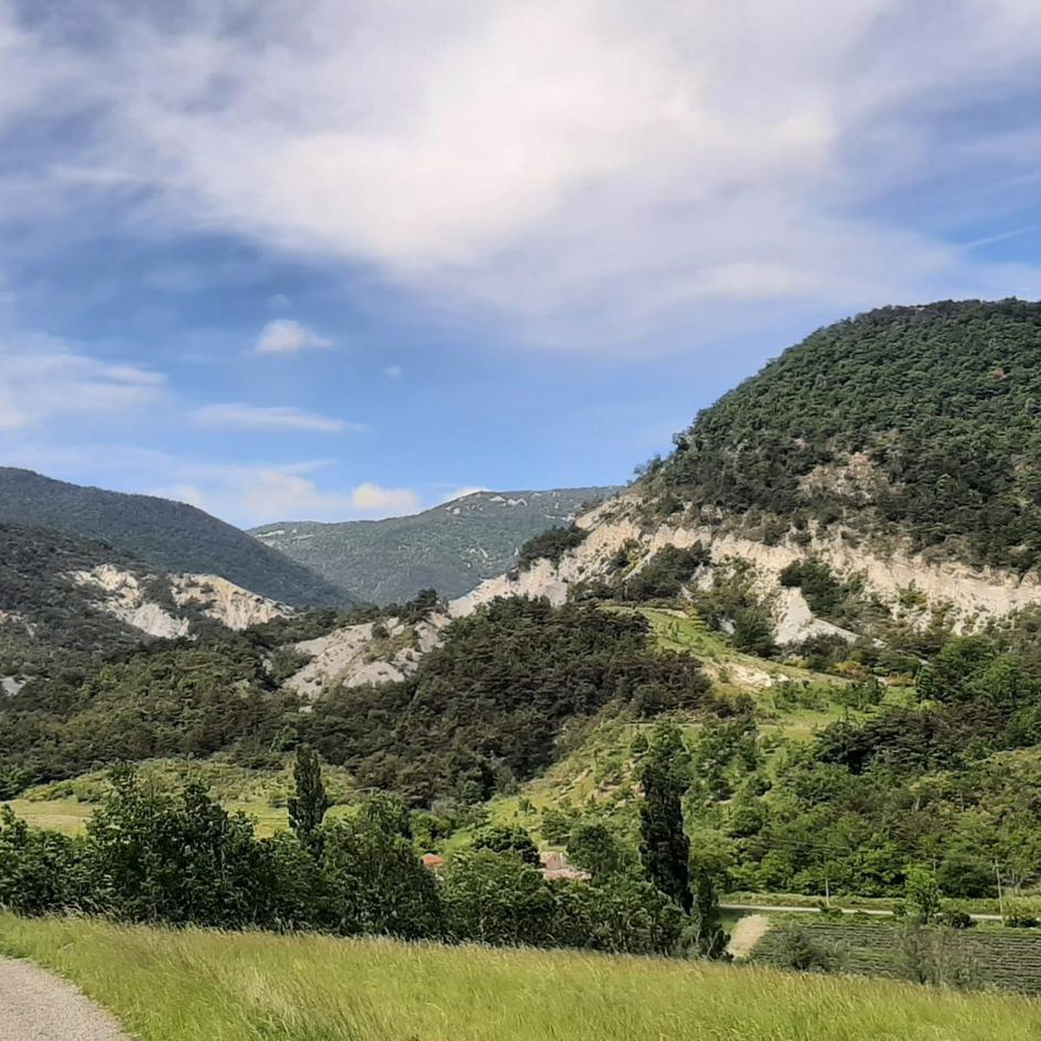
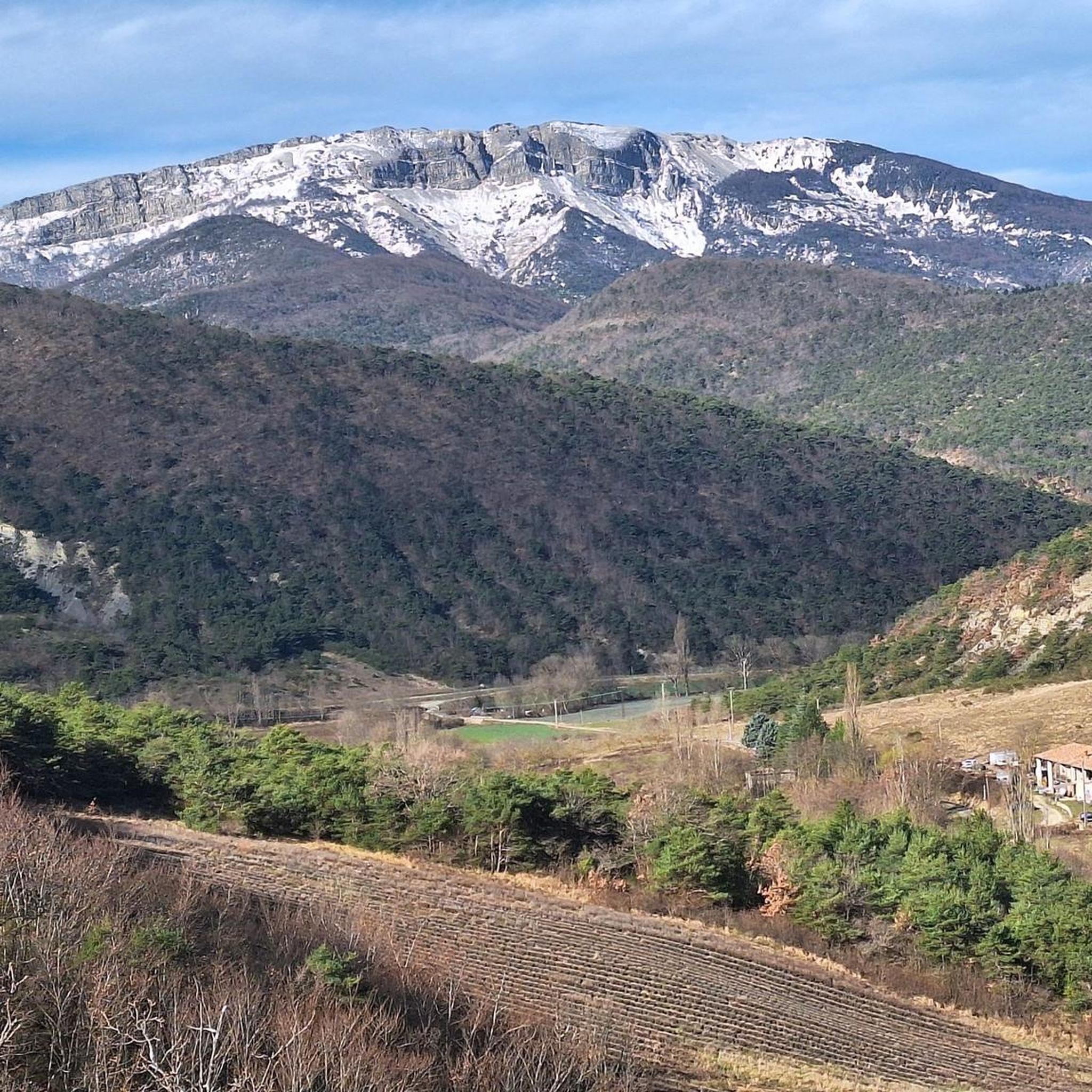
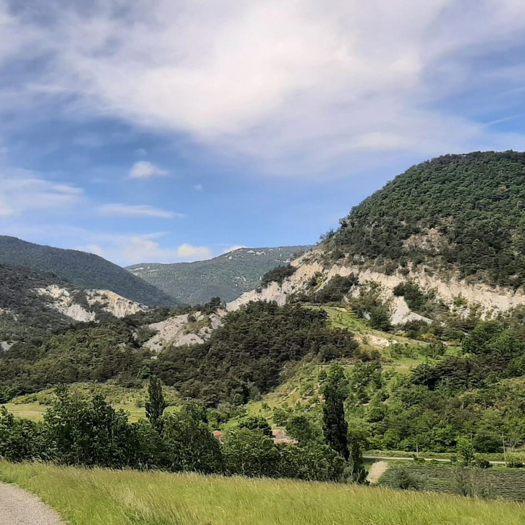
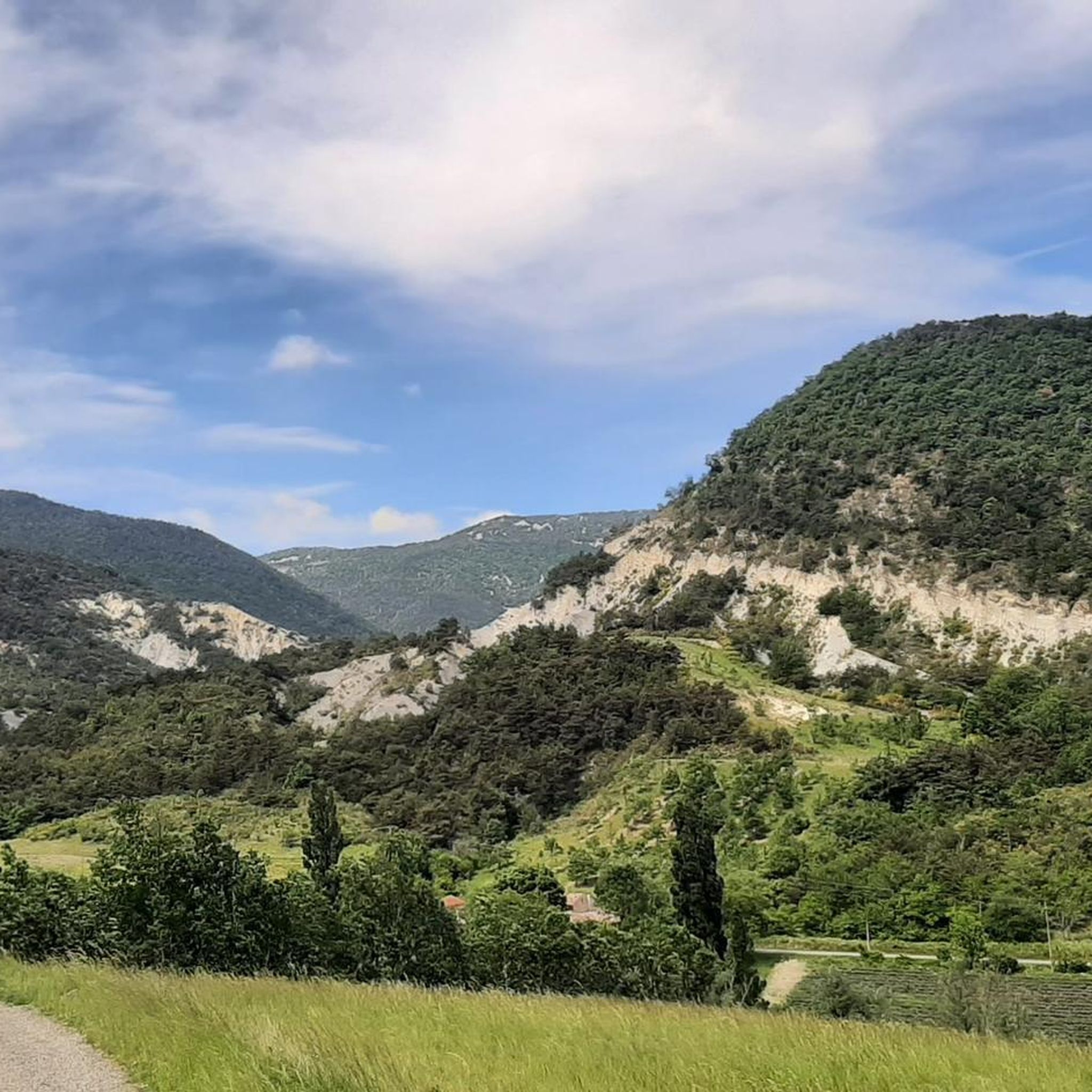
Jogging around Teyssières offers diverse terrain within the Drôme region of France, situated in the Parc Naturel des Baronnies. The area features varied elevations, ranging from approximately 498 to 1,325 meters, providing options from gentle paths to challenging inclines. Runners can experience landscapes characterized by mountains, valleys, and the presence of the Lez river, alongside fields of lavender and distinctive grey marl formations. This natural setting provides a backdrop for a range of running experiences.
Best jogging routes around Teyssières
…Last updated: June 25, 2026
12
runners
5.47km
00:39
190m
200m
Moderate run. Good fitness required. Mostly paved surfaces. Suitable for all skill levels.
4.0
(1)
8
runners
11.6km
01:17
260m
260m
Moderate run. Good fitness required. Mostly paved surfaces. Suitable for all skill levels.

Sign up for free
5
runners
10.4km
01:26
420m
430m
Hard run. Very good fitness required. Mostly paved surfaces. Suitable for all skill levels.
6
runners
14.1km
02:14
740m
740m
Hard run. Very good fitness required. Sure-footedness, sturdy shoes and alpine experience required.
4
runners
10.2km
01:46
670m
670m
Hard run. Very good fitness required. Mostly paved surfaces. Suitable for all skill levels.
Get access to more routes and recommendations from other explorers.
Sign up for free
Already have an account?
Our route recommendations are based on thousands of hikes, rides, and runs completed by other people on komoot.
Start today with a free account
Your next adventure awaits.
Login or Signup

Tips from the Community

Beautiful route, the arrival at the pass is a bit disappointing, not inviting for a stop.
0
0

summit of the lance mountain, exceptional panorama
0
0

Pleasant collar. Its 5kms at 5.5% average with a maximum slope of 6% make it accessible to the greatest number.
0
0

Wonderful quiet pass road with particularly beautiful views of blooming lavender fields at this time of the year
0
0
At the top of the Lance you will have a 360 degree view of the surrounding countryside and the Alps in the distance.
3
1
Rock near the summit of the Lance which gives a very nice view on this one.
0
0
Frequently Asked Questions
How many running routes are available around Teyssières?
There are over 190 running routes in the Teyssières area. These routes offer a variety of challenges, with 3 easy, 79 moderate, and 110 difficult options to choose from.
What kind of terrain can I expect on jogging routes in Teyssières?
Jogging routes in Teyssières offer diverse terrain, ranging from gentle paths to challenging inclines. You'll encounter mountainous backdrops, serene valleys, and rural hamlets, often passing through fragrant lavender fields and near the Lez river. The region's elevation, from 498 to 1,325 meters, ensures varied landscapes, including distinctive grey marl formations.
Are there running routes suitable for beginners or those looking for an easy jog?
Yes, Teyssières offers a few easy running routes. While the majority are moderate to difficult, you can find 3 routes specifically categorized as easy, perfect for a relaxed jog or for those new to trail running in the area.
Can I find circular running routes in the Teyssières area?
Yes, many of the running routes around Teyssières are circular. For example, the Running loop from Valouse is a popular circular trail, as is the more challenging La Lance Summit loop from Teyssières.
What do other runners enjoy most about jogging in Teyssières?
The running routes in Teyssières are highly rated by the komoot community, with an average score of 4.4 stars from over 60 reviews. Runners often praise the stunning mountainous backdrops, the serene valleys, and the unique experience of running through lavender fields and past rural hamlets.
Are there any historical sites or landmarks I can see along the running routes?
Yes, the region is rich in history. While jogging, you might encounter historical landmarks such as the 19th-century Saint-Pierre-et-Saint-Paul church and its cemetery, or the dramatic ruins of Audefrey castle. The old village itself, with its stone houses and paved streets, offers a glimpse into the past. You can also explore nearby attractions like the Nyons Roman Bridge or the Chapel of Our Lady of Good Help of Nyons.
Are there any family-friendly running or walking routes in Teyssières?
While specific family-friendly running routes are not highlighted in the data, the presence of easy trails and the general nature of the region's extensive network suggest that some paths would be suitable for families. Look for routes with less elevation gain and shorter distances for a more enjoyable family outing.
Is Teyssières accessible by public transport for runners?
Information on direct public transport to Teyssières village for hikers or runners is limited. It is advisable to check local transport schedules or consider driving, as the region is best explored with personal transportation to access various trailheads.
Where can I park my car when accessing running trails in Teyssières?
While specific parking facilities for each trailhead are not detailed, Teyssières, being a rural village, typically offers parking within or at the edges of the village. For routes starting from nearby hamlets or specific points, local parking options are usually available. It's recommended to check maps for designated parking areas near your chosen starting point.
What is the best time of year for jogging in Teyssières?
The Drôme region, where Teyssières is located, offers pleasant conditions for outdoor activities for much of the year. Spring and autumn generally provide mild temperatures ideal for running, with the added beauty of blooming lavender in late spring/early summer. Summers can be warm, while winters might bring cooler temperatures and potentially snow at higher elevations.
Are there any regulations or permits required for running in the Parc Naturel des Baronnies?
Teyssières is part of the Parc Naturel des Baronnies. Generally, regional natural parks in France do not require specific permits for hiking or running on marked trails. However, it's always good practice to respect local regulations, stay on marked paths, and be mindful of private property. For more information on the region, you can visit Dieulefit Tourisme.
Can I bring my dog on the running routes in Teyssières?
While many outdoor areas in France are dog-friendly, specific rules for dogs on trails within the Parc Naturel des Baronnies can vary. It is generally recommended to keep dogs on a leash, especially in natural park areas, to protect wildlife and ensure the safety of other users. Always clean up after your pet.
Most popular routes around Teyssières
Most popular attractions around Teyssières

Get inspired with the komoot mobile app


Explore more
Browse the best Running Trails & Routes in other regions.
