The best walks and hikes around La Valla-Sur-Rochefort
4.5
(199)
1,343
hikers
117
hikes
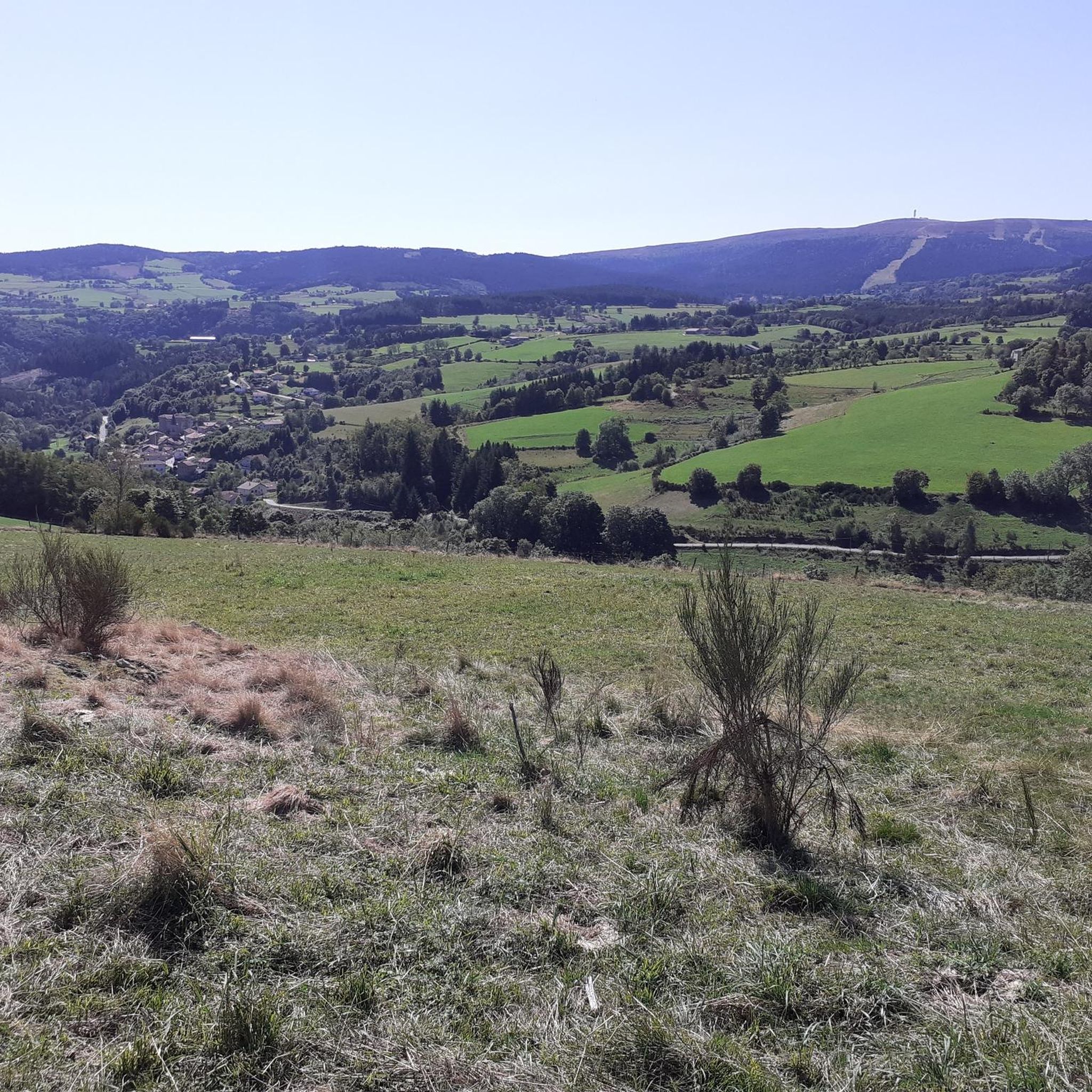
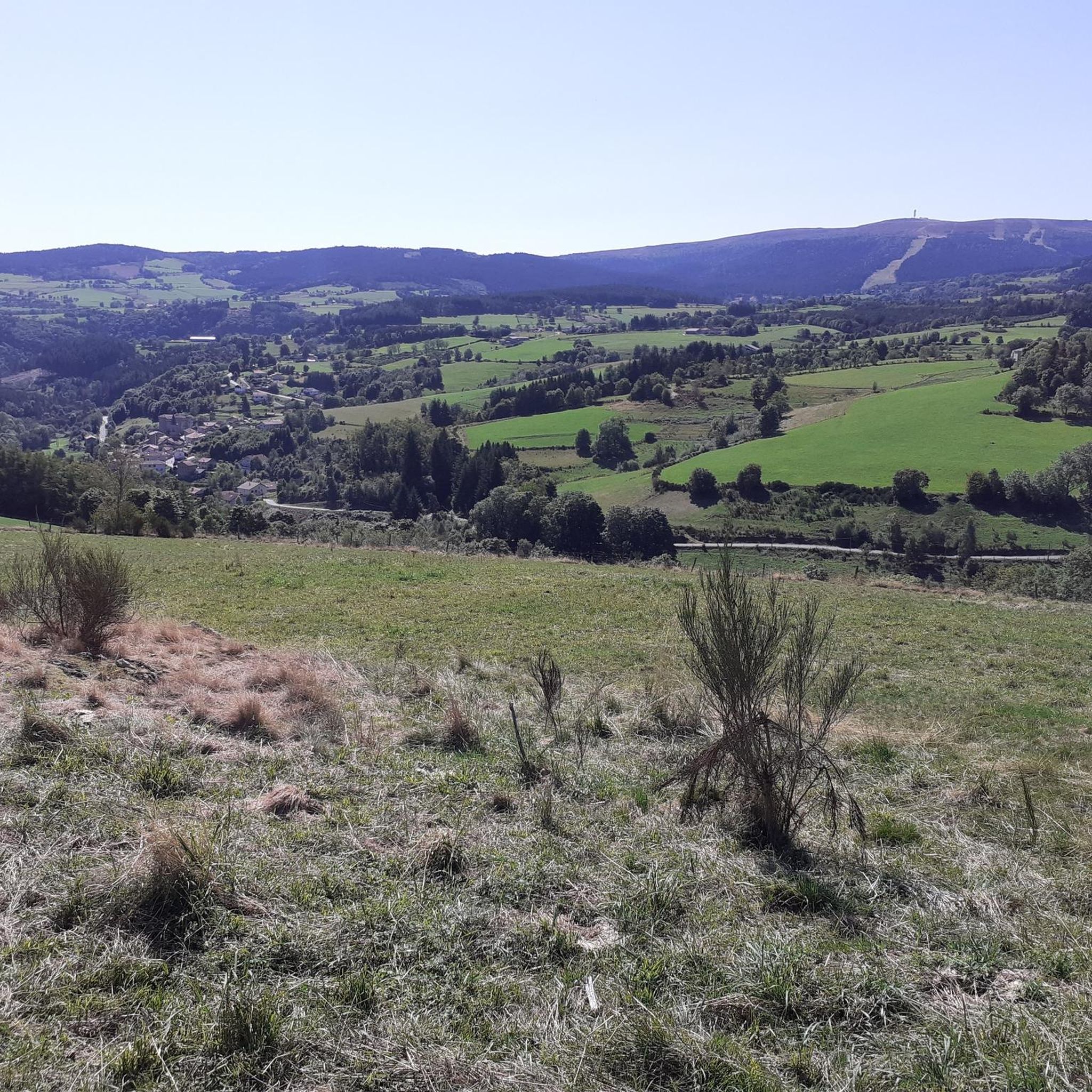
Hiking around La Valla-Sur-Rochefort offers diverse landscapes within the Monts du Forez, characterized by fir forests, deciduous woodlands, and high plateaus known as the Hautes Chaumes. The region features varied terrain, including stony paths, earth trails, and geological formations such as the Orgues Basaltiques du Puy de Chavanne. Trails often navigate through areas like the Col des Brosses, providing opportunities to experience unique flora and local wildlife.
Best hiking trails around La Valla-Sur-Rochefort
- The most popular hiking route is Col…
Last updated: July 11, 2026
4.3
(4)
17
hikers
15.0km
04:19
370m
370m
Moderate hike. Good fitness required. Easily-accessible paths. Suitable for all skill levels.
5.0
(2)
15
hikers
6.04km
01:39
90m
90m
Easy hike. Great for any fitness level. Easily-accessible paths. Suitable for all skill levels.

Sign up for free
4.8
(6)
60
hikers
15.7km
04:23
300m
300m
Moderate hike. Good fitness required. Easily-accessible paths. Suitable for all skill levels.
5.0
(2)
8
hikers
12.8km
03:50
400m
400m
Moderate hike. Good fitness required. Easily-accessible paths. Suitable for all skill levels.
5.0
(1)
6
hikers
13.3km
03:58
410m
420m
Moderate hike. Good fitness required. Easily-accessible paths. Suitable for all skill levels.
Get access to more routes and recommendations from other explorers.
Sign up for free
Already have an account?
Our route recommendations are based on thousands of hikes, rides, and runs completed by other people on komoot.
Start today with a free account
Your next adventure awaits.
Login or Signup

Tips from the Community

This path lives up to its name, especially in spring when the meadows it crosses are adorned with their most beautiful colors.
0
0

A breathtaking view that is worth the effort and wild landscapes! What a natural spectacle, wow! Undeniably one of the places not to be missed in Auvergne.
1
0

The Col de la Loge peaks at an altitude of 1,253 meters. In winter, it is the gateway to long and beautiful cross-country ski trails which head towards the heart of Livradois-Forez. In summer, hikers take it to enjoy the serenity of the woods that populate the surrounding area.
0
0
At the entrance to Livradois-Forez, the Col du Reculon peaks at an altitude of 1,152 meters. Very popular with cyclists, it is also popular with hikers who walk the GR 3.
1
0

The Col de la Loge, located at 1,253 meters above sea level, has its own chalet-inn. It is an ideal place to stop there during your roaming. All the information can be found on the chalet's website: http://www.coldelaloge.fr/.
0
0

The La Chamba Recoil Pass is 1.7 km long with a total drop of 71 m. The average slope is 5% with maximum slopes of 10% towards the summit.
1
0

Departure of cross-country skis
2
0
Magnificent pass on the Forez plateau
3
0
Frequently Asked Questions
What kind of terrain can I expect on hikes around La Valla-sur-Rochefort?
Hikes around La Valla-sur-Rochefort offer a varied landscape within the Monts du Forez. You'll encounter fir forests, deciduous woodlands, and high plateaus known as the Hautes Chaumes. The trails feature diverse surfaces, including stony paths and earth trails, with areas rich in holly and blueberry bushes.
Are there hiking options for all skill levels in La Valla-sur-Rochefort?
Yes, the area provides a range of hiking options suitable for different abilities. There are 34 easy routes for a relaxed outing, 58 moderate trails for a more engaging experience, and 20 difficult routes for experienced hikers seeking a challenge.
What natural features can I discover while hiking in the Monts du Forez near La Valla-sur-Rochefort?
The Monts du Forez are rich in natural beauty. You can explore dense fir forests, expansive Hautes Chaumes (high plateaus with vast vistas), and unique geological formations like the Orgues Basaltiques du Puy de Chavanne. The area also features the exceptional holly forest near the Col des Brosses.
Are there any waterfalls or unique geological formations to see on the trails?
Yes, the region is known for its natural spectacles. You can find the distinctive Orgues Basaltiques du Puy de Chavanne and the Cascades de Ligeay, which are highlighted attractions on various hiking routes in the area.
Are there any circular hiking routes available?
Many routes in La Valla-sur-Rochefort are circular. For example, the easy Col de la Loge loop from Col de la Loge is a 6.2 km trail through woodlands and open areas. A longer, moderate option is the Col de la Loge (1,253 m) – Col de la Loge loop from Jeansagnière, covering 15 km.
What do other hikers enjoy most about hiking in La Valla-sur-Rochefort?
The area is highly rated by the komoot community, with an average score of 4.6 stars from over 170 reviews. Hikers often praise the varied terrain, from high plateaus to dense forests, and the distinctive geological features that make each route unique.
Are there any notable viewpoints or mountain passes to explore?
Yes, the region features several significant mountain passes and viewpoints. The Col de la Loge is a central point for many routes, and the Béal Pass offers impressive views. The Hautes Chaumes themselves provide seemingly boundless vistas.
Is La Valla-sur-Rochefort suitable for family hikes?
Yes, there are several easy routes that are suitable for families. For instance, the Col de la Loge loop from Col de la Loge is an easy 6.2 km trail that can be completed in under two hours, making it a good option for a shorter family outing.
Where can I find parking for hiking trails in La Valla-sur-Rochefort?
Many trails, especially those starting from key points like the Col de la Loge or La Chambonie, typically have designated parking areas nearby. It's advisable to check the specific route details on komoot for precise trailhead parking information.
Are there any specific trails that explore the Hautes Chaumes?
Yes, the Hautes Chaumes are a significant draw. While not explicitly listed in the provided routes, the 'Circuit des Loges sur les Hautes Chaumes' is mentioned as a way to explore these unique open spaces, known for their vast vistas and historical use as summer pastures.
Are there any longer, more challenging hikes available?
For those seeking a longer challenge, the Col de la Loge (1,253 m) – Béal Pass loop from La Chambonie is a moderate 17 km route. The 'Les Loges de La Valla' is also noted as an 18 km loop considered fairly difficult, featuring significant elevation gain and diverse terrain.
What is the best time of year to go hiking in La Valla-sur-Rochefort?
The Monts du Forez offer beautiful scenery throughout the warmer months. Spring and autumn provide pleasant temperatures and vibrant colors, while summer is ideal for enjoying the high plateaus. Winter hiking is possible but may require specific gear due to snow and ice at higher elevations.
Most popular routes around La Valla-Sur-Rochefort
Most popular attractions around La Valla-Sur-Rochefort

Get inspired with the komoot mobile app


Explore more
Browse the best Hikes in other regions.
