The best running trails around Beaurepaire
4.2
(123)
5,137
runners
482
runs
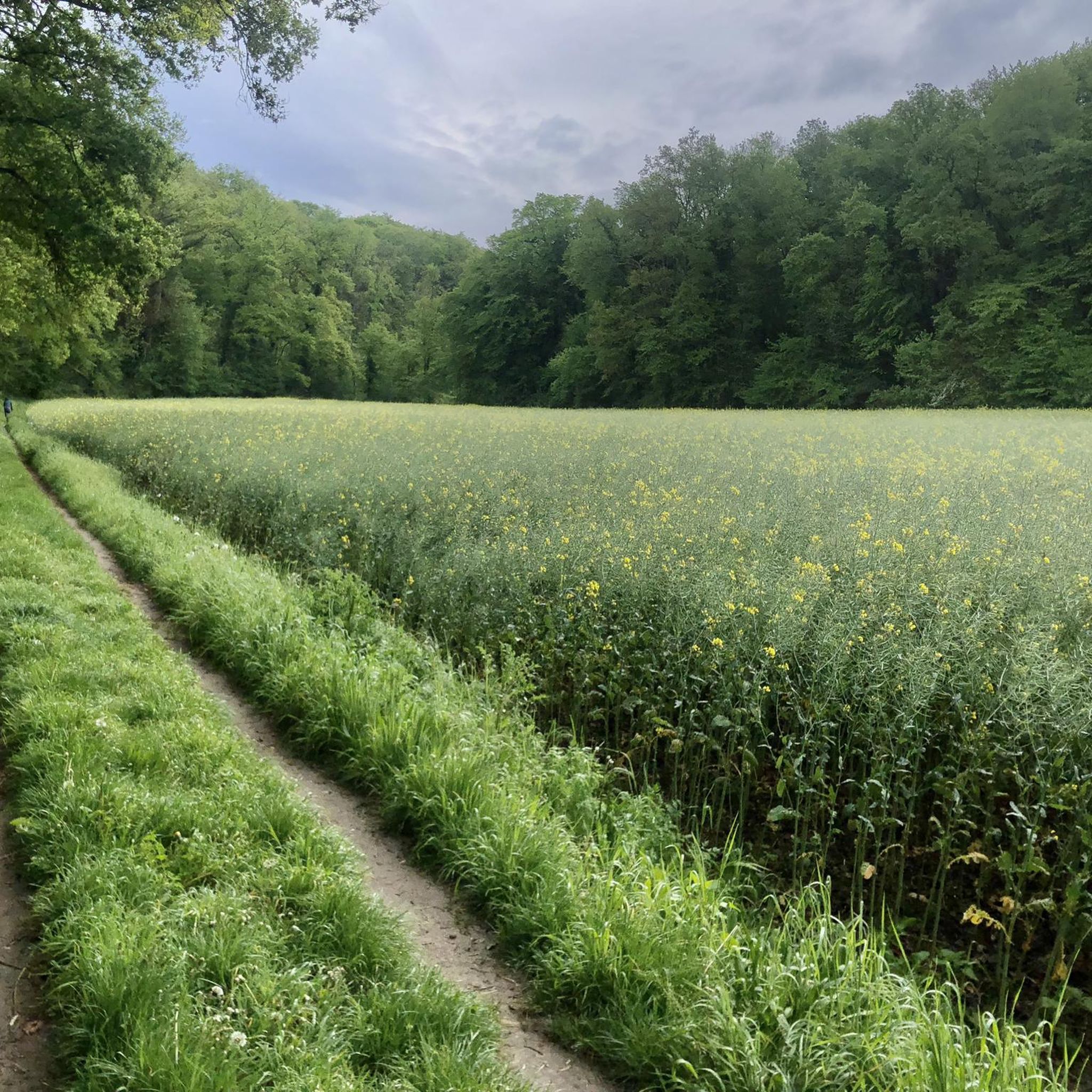
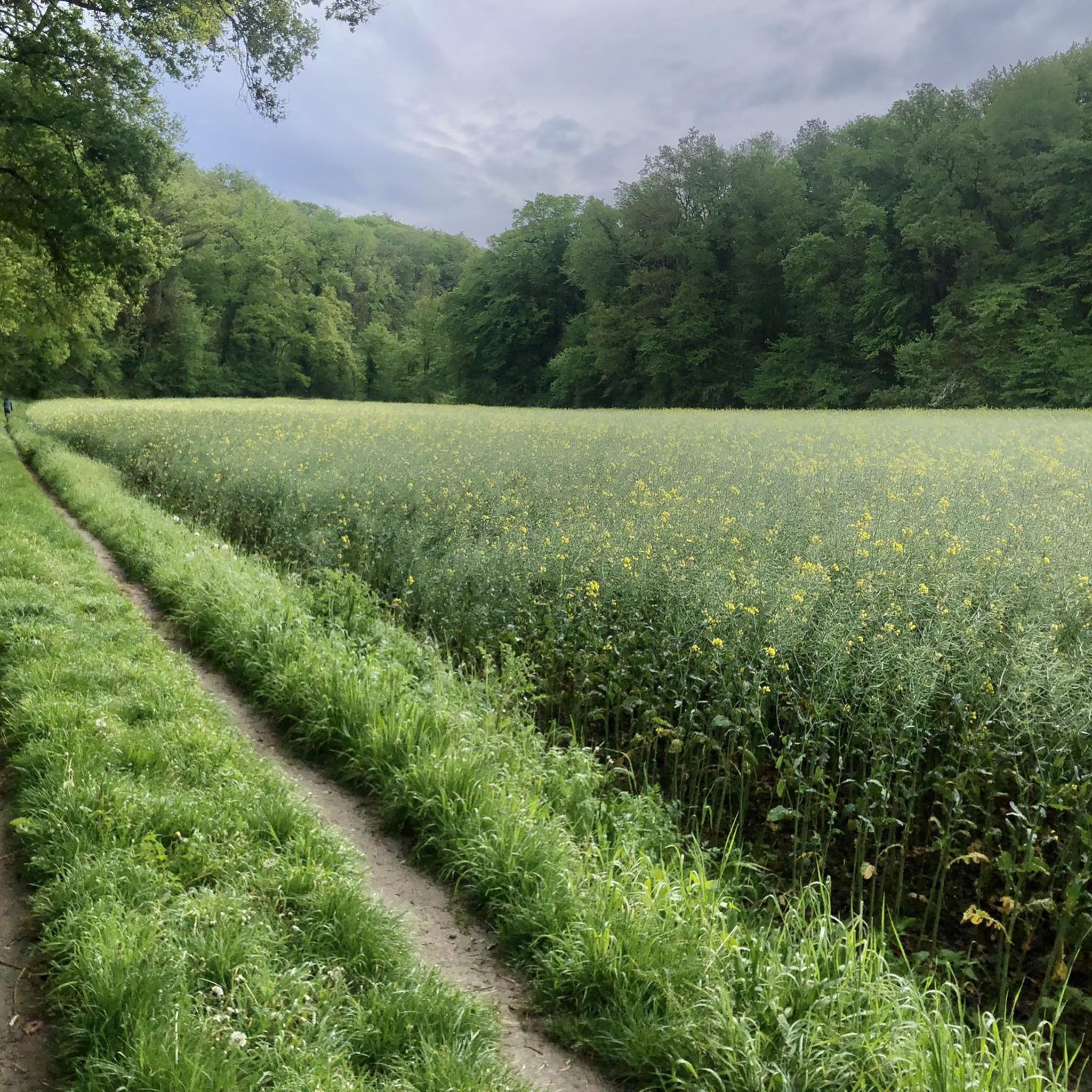
Jogging routes Beaurepaire offer a diverse range of terrains, from gentle paths across plains to more challenging routes with significant elevation changes. The region is characterized by its hilly and wooded landscapes, providing picturesque scenery for running. Well-maintained trails allow for exploration of natural features and local flora. This variety ensures options for different fitness levels and preferences.
Best jogging routes around Beaurepaire
- The most popular jogging route is Mont Pagnotte viewpoint – King of Rome Obelisk loop from Fleurines…
Last updated: June 29, 2026
137
runners
28.5km
03:23
460m
460m
Hard run. Very good fitness required. Mostly paved surfaces. Suitable for all skill levels.
45
runners
19.2km
02:17
320m
320m
Hard run. Very good fitness required. Mostly paved surfaces. Suitable for all skill levels.

Sign up for free
31
runners
11.8km
01:24
130m
130m
Moderate run. Good fitness required. Mostly paved surfaces. Suitable for all skill levels.
7
runners
12.3km
01:22
90m
90m
Moderate run. Good fitness required. Mostly paved surfaces. Suitable for all skill levels.
7
runners
10.0km
01:06
130m
130m
Moderate run. Good fitness required. Mostly paved surfaces. Suitable for all skill levels.
Get access to more routes and recommendations from other explorers.
Sign up for free
Already have an account?
Our route recommendations are based on thousands of hikes, rides, and runs completed by other people on komoot.
Start today with a free account
Your next adventure awaits.
Login or Signup



Tips from the Community

The orientation table that previously existed and the wooden terrace have been removed. The trees have grown, making the view non-existent. Before, on a clear day, it was possible to make out the Eiffel Tower.
1
0

Gallo-Roman site to see while enjoying the Halatte forest
1
0


This obelisk was built in 1811 to commemorate the birth of the son of Napoleon I and Marie-Louise of Austria, made king of Rome by his father to defy Pope Pius VII. Why here and by whom? We don't know anything about it. This tribute was perhaps paid to Napoleon for the relaunch of healthy management of the Halatte forest after a period of abandonment following the revolution of 1789. In any case, he met his future wife Marie-Louise d'Halatte. Austria, nearby, at the castle of Compiègne where he installed his son the king of Rome.
0
0
In the middle of the halate forest the last 500 meters no bitumen
0
0

The Eiffel water tower is a metal structure, built around 1895, unique of its kind in the north of France. It was originally designed to supply water to a racing horse stable owned by a chocolatier. Although it is not confirmed that Gustave Eiffel was the architect, the tower bears the signature of his style and elegance. The tower is hidden in the Halatte forest, a few kilometers from Senlis. It's a great place to enjoy nature and admire this engineering marvel.
2
0
Mont Pagnotte is the highest point in Valois and one of the highest in the Paris region, with an altitude of 222 meters. It was also an ancient Celtic and Gallo-Roman colony, of which you can still see some ruins along the way. The trail passes through the magnificent Halatte forest, where you can appreciate the diversity of trees and wildlife. From the summit of Mont Pagnotte, you can admire a panoramic view of the forest and the surrounding countryside. It's the perfect place for a run to escape the city.
3
0
The remains of a Gallo-Roman temple dedicated to healing and built by a Gallic tribe, the Sulbanectes, in the middle of the 1st century AD. You can admire the ex-votos, coins, vases and fibulae discovered during excavations at the Senlis art and archeology museum. The temple is hidden in the bushes, so you have to follow a forest path to reach it. It is a unique and fascinating site that will take you back in time.
2
0
Frequently Asked Questions
How many running routes are available around Beaurepaire?
Beaurepaire and its surrounding areas offer a wide selection of running routes, with over 470 trails documented on komoot. This includes a diverse range of paths suitable for various fitness levels.
What kind of terrain can I expect on jogging trails in Beaurepaire?
The region around Beaurepaire is characterized by its varied terrain, featuring both gentle paths across plains and more challenging routes with significant elevation changes. You'll find picturesque scenery through hilly and wooded landscapes, providing a refreshing escape into nature.
Are there any easy running routes suitable for beginners or a relaxed jog?
Yes, Beaurepaire offers a selection of easy running routes. There are 29 easy trails available, perfect for beginners or those looking for a more relaxed jog. These routes typically have minimal elevation change, making them accessible for a light workout.
Can I find challenging running routes with significant elevation gain in Beaurepaire?
Absolutely. For experienced runners seeking a challenge, Beaurepaire has 81 difficult routes with substantial elevation gain. An example is the Mont Pagnotte viewpoint – King of Rome Obelisk loop from Fleurines, a demanding 28.5 km trail with over 460 meters of ascent.
What do other runners say about the trails in Beaurepaire?
The running routes in Beaurepaire are highly regarded by the komoot community, holding an average rating of 4.0 stars from over 100 reviews. Runners often praise the varied terrain, the beautiful wooded landscapes, and the well-maintained paths that make exploration enjoyable.
Are there any notable landmarks or points of interest along the running routes?
Yes, several routes offer opportunities to discover historical elements and scenic viewpoints. For instance, you might encounter the Mont Pagnotte viewpoint or the King of Rome Obelisk. The broader region also features historical sites like the Royal Abbey of Moncel and the Ognon Gallo-Roman temple, which can be explored in conjunction with your runs.
Are there any circular running routes available?
Many of the running routes around Beaurepaire are designed as loops, offering convenient circular paths. For example, the The Image Oak loop from Fleurines is a moderate 11.8 km trail that takes you through wooded landscapes and brings you back to your starting point.
What is a good moderate-difficulty running route in the area?
A popular moderate-difficulty option is the Eiffel Water Tower – Déroute Post loop from Fleurines. This route spans about 12.3 km with manageable elevation changes, making it a great choice for a steady run without being overly strenuous.
Are the trails in Beaurepaire well-marked?
Yes, the Isère region, where Beaurepaire is located, is known for its extensive network of well-waymarked footpaths. This makes it easier for runners to navigate safely and efficiently, allowing you to focus on your run and the scenic surroundings.
Can I find running routes that are around 10 km in length?
Certainly. There are several running routes around Beaurepaire that are approximately 10 km long. The Croix Saint-Rieul loop from Fleurines is a moderate 10 km trail, offering a good distance for a solid workout.
What makes Beaurepaire a good destination for outdoor activities beyond running?
Beyond its excellent running trails, Beaurepaire's diverse landscapes and extensive trail network make it ideal for a variety of outdoor activities. The broader Isère region offers opportunities for cycling, mountain biking, climbing, and water sports, enhancing its appeal as an outdoor destination.
Most popular routes around Beaurepaire
Most popular attractions around Beaurepaire

Get inspired with the komoot mobile app


Explore more
Browse the best Running Trails & Routes in other regions.
