The best MTB trails around Pavezin
4.3
(597)
2,735
riders
227
rides
Mountain bike trails around Pavezin are characterized by a varied landscape featuring significant elevation changes, including several passes and crests. The region offers a mix of challenging climbs and descents, often winding through forested areas and open terrain. Mountain bikers can expect routes that traverse hills and offer views of the surrounding natural environment. The area's topography provides diverse options for different skill levels.
Best mountain bike trails around Pavezin
- The most popular mountain bike trail is Croix du Collet…
Last updated: October 4, 2026
4.2
(9)
43
riders
26.1km
02:42
750m
750m
Moderate mountain bike ride. Good fitness required. Advanced riding skills necessary.
4.0
(6)
27
riders
37.3km
03:58
1,290m
1,280m
Hard mountain bike ride. Very good fitness required. Suitable for all skill levels.

4.6
(5)
18
riders
39.8km
03:47
960m
960m
Hard mountain bike ride. Very good fitness required. Advanced riding skills necessary.
4.5
(4)
18
riders
26.4km
02:36
620m
620m
Moderate mountain bike ride. Good fitness required. Suitable for all skill levels.
4.0
(2)
6
riders
11.4km
01:04
350m
350m
Moderate mountain bike ride. Good fitness required. Suitable for all skill levels.
Get access to more routes and recommendations from other explorers.
Already have an account?
Our route recommendations are based on thousands of hikes, rides, and runs completed by other people on komoot.
Start today with a free account
Your next adventure awaits.
Tips from the Community

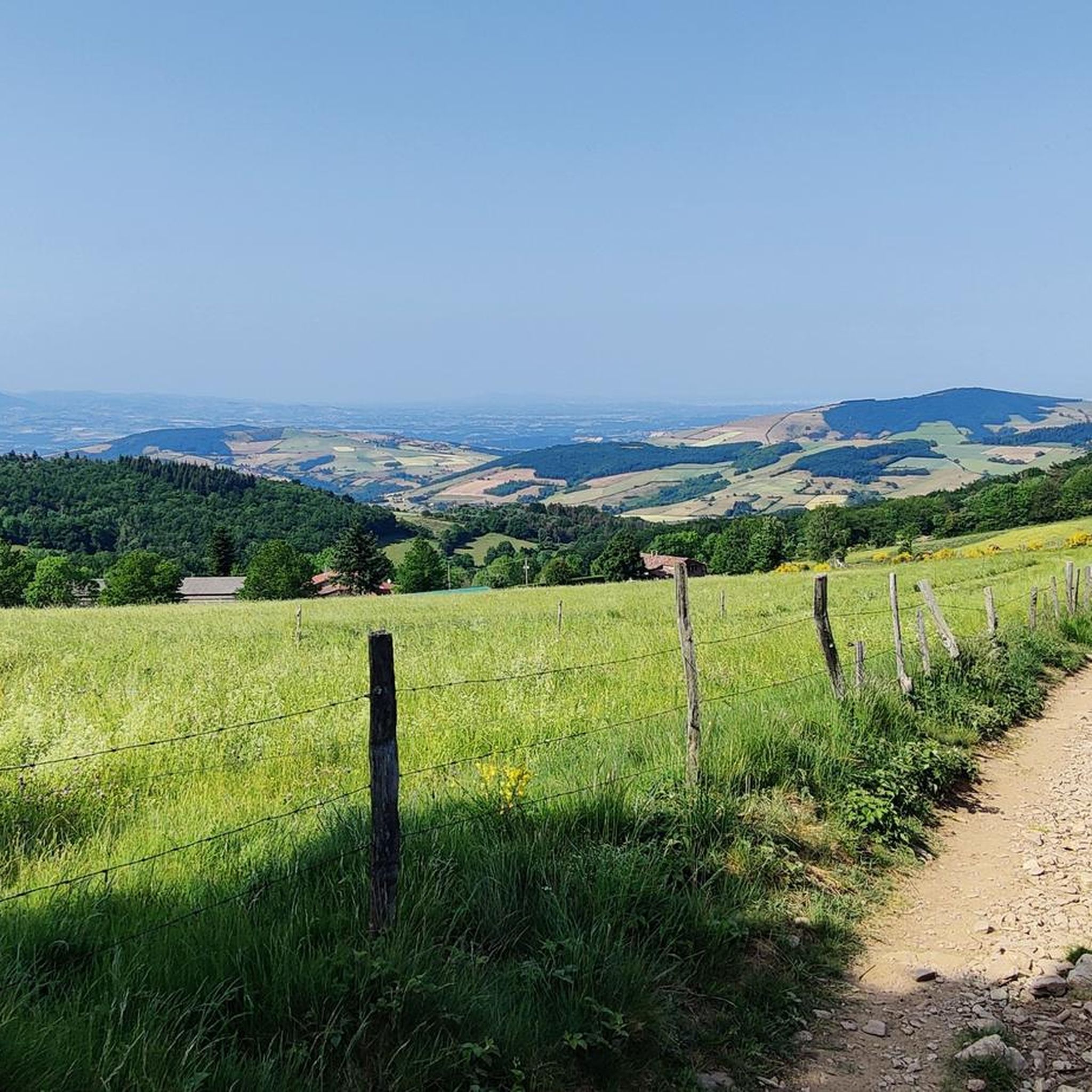
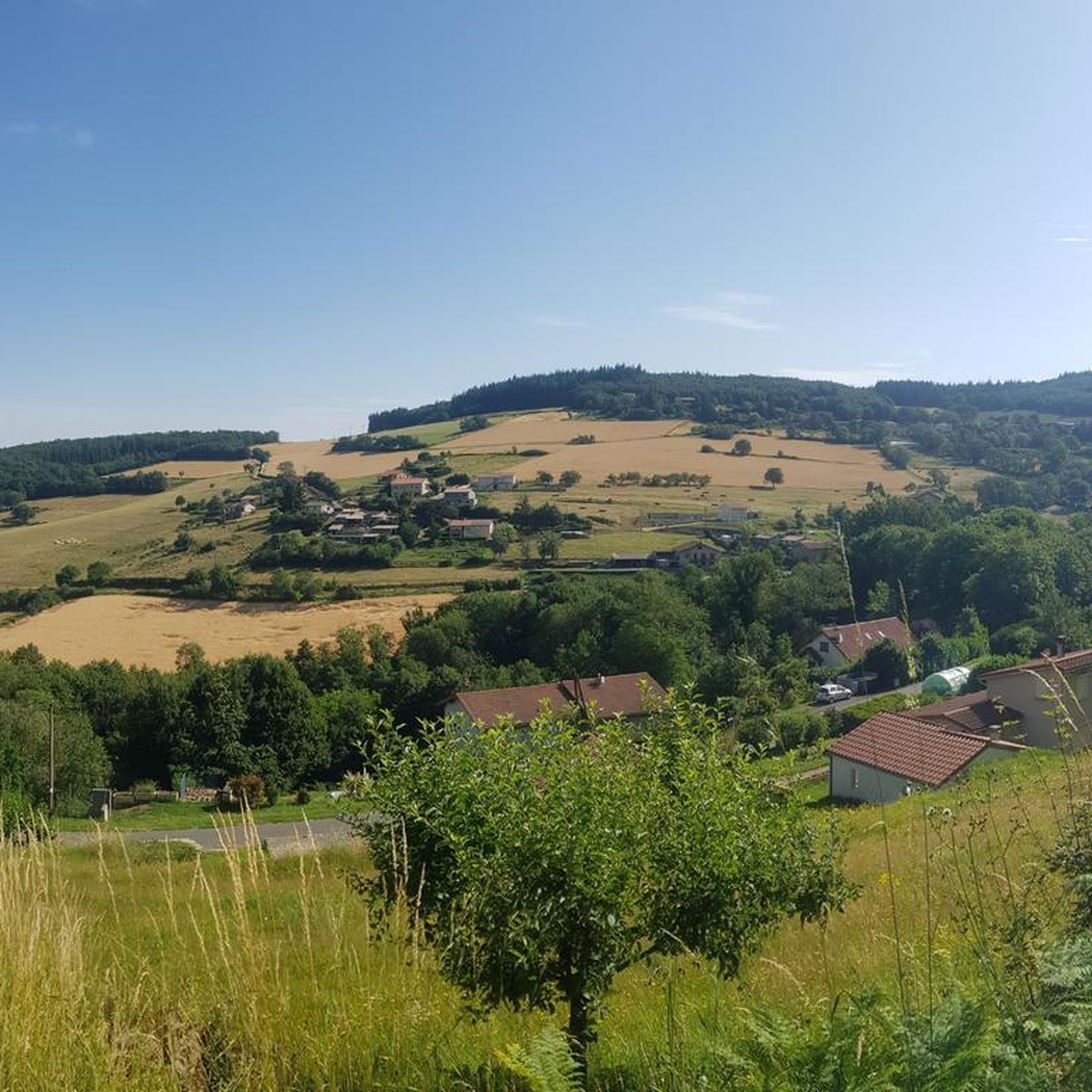
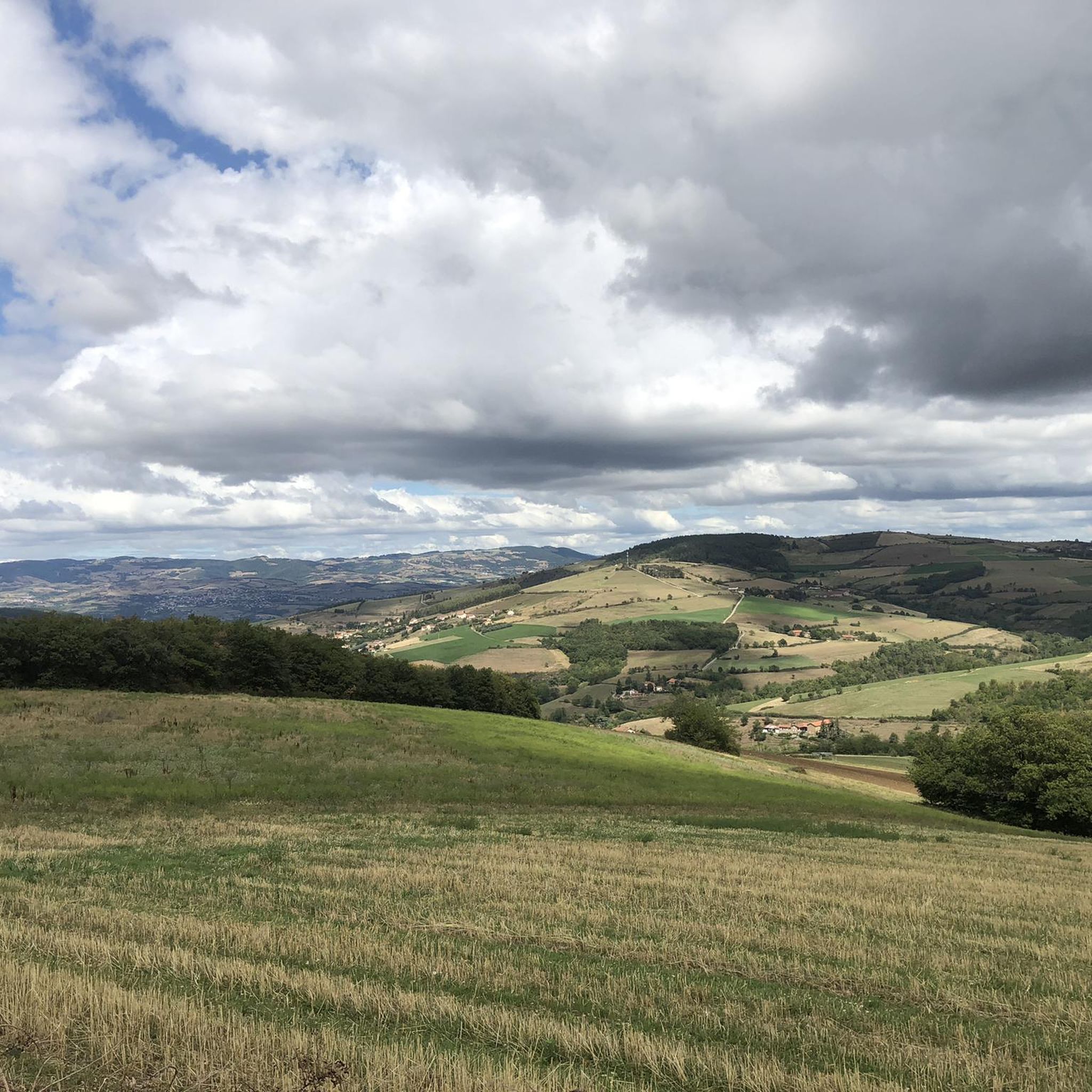
For the strenuous climb to Mont Monnet (782 m), you will be rewarded with a breathtaking view of the Phonetal valley. In addition, on the summit, you will find an information board, a small chapel, and a beautiful sculpture of the Madonna and Child.
0
0

The Col de Pavezin is certainly not the highest, but it is no less mythical. The inventor of the derailleur, Paul de Vivié, who settled here, made it an unmissable rendezvous. The pass is located between the Rhône valley and the Gier valley, and opens up a grandiose panorama of the Alps and the Rhône furrow.
0
0

Arrival at 1361m!: wind 😉
0
0

To climb to the Crêt de Baronnette, the track is fairly smooth and then there are lots of stones making the climb technical. If you want to avoid it, go through the mid-Crêt de Baronnette to climb.
0
0
THE crossroads of all the walks in the area, with the little refreshing break at the inn, it's perfect (change of owner in progress, for the moment it is closed)
0
0
Smooth track allowing for easy climbing
0
0
Frequently Asked Questions
How many mountain bike trails are available around Pavezin?
There are over 220 mountain bike trails around Pavezin. These routes offer a diverse range of experiences, from moderate loops to more challenging, long-distance rides.
What kind of terrain will I encounter on mountain bike trails in Pavezin?
You can expect a varied landscape with significant elevation changes, including several passes and crests. Trails often wind through forested areas and open terrain, providing a mix of challenging climbs and descents, and offering views of the surrounding natural environment.
Are there mountain bike trails suitable for beginners or those looking for an easier ride?
Yes, Pavezin offers options for various skill levels. There are approximately 25 easy mountain bike trails available. While the provided routes are moderate to difficult, the region's network includes gentler paths for less experienced riders.
Which mountain bike trails are recommended for experienced riders seeking a challenge?
For experienced riders, there are over 70 difficult mountain bike trails. A challenging option is the Grenouze Pass – Pavezin Pass loop from La Chapelle-Villars, a 17.2-mile route with substantial elevation gain. Another demanding trail is the Pavezin Pass (651 m) – View from Crêt du Rachat loop from Pavezin, which is 23.2 miles long and features hilly landscapes with panoramic views.
Are there any circular mountain bike routes in the Pavezin area?
Yes, many of the mountain bike trails around Pavezin are circular routes, allowing you to start and end in the same location. Examples include the Croix du Collet – Pélussin Viaduct loop from Croix-de-Montvieux, a moderate 15.8-mile ride, and the more difficult Pavezin Pass – Grenouze Pass loop from L'Ollagnière, spanning 24.1 miles.
What are some interesting landmarks or natural attractions I can see along the mountain bike trails?
The region is rich in natural attractions. You can explore various mountain passes such as Pavezin Pass, Grenouze Pass, and Col de la Croix du Planil. There are also notable natural monuments like the Crêt de l'Œillon and the unique rock formations known as The Three Teeth.
What do other mountain bikers enjoy most about the trails in Pavezin?
The mountain bike trails in Pavezin are highly rated by the komoot community, with an average score of 4.3 stars from over 400 reviews. Many riders praise the diverse terrain, challenging climbs, and the panoramic views offered from the various passes and crests.
Are there any cafes or places to stop for refreshments near the mountain bike trails?
While specific cafes are not listed for every trail, the presence of prominent features like the Pavezin Pass often indicates areas where facilities, including potential refreshment stops, might be available. It's advisable to check local listings for specific establishments along your chosen route.
What is the typical duration for mountain bike rides in Pavezin?
The duration of rides varies significantly depending on the trail's length and difficulty. For example, a moderate route like the Croix du Collet – Pélussin Viaduct loop typically takes around 2 hours 37 minutes, while more difficult and longer trails, such as the Pavezin Pass – Mid-Crest of Baronnette loop (16.4 miles), can take approximately 2 hours 36 minutes.
Is Pavezin a good destination for mountain biking with significant elevation changes?
Absolutely. Pavezin is characterized by its significant elevation changes, featuring numerous passes and crests. Mountain bikers can expect routes with considerable ascents and descents, making it an ideal location for those who enjoy challenging climbs and rewarding downhill sections.
Most popular attractions around Pavezin

Get inspired with the komoot mobile app


Explore more
Browse the best MTB trails in other regions.
