The best running trails around Le Vaulmier
4.1
(6)
1,563
runners
74
runs
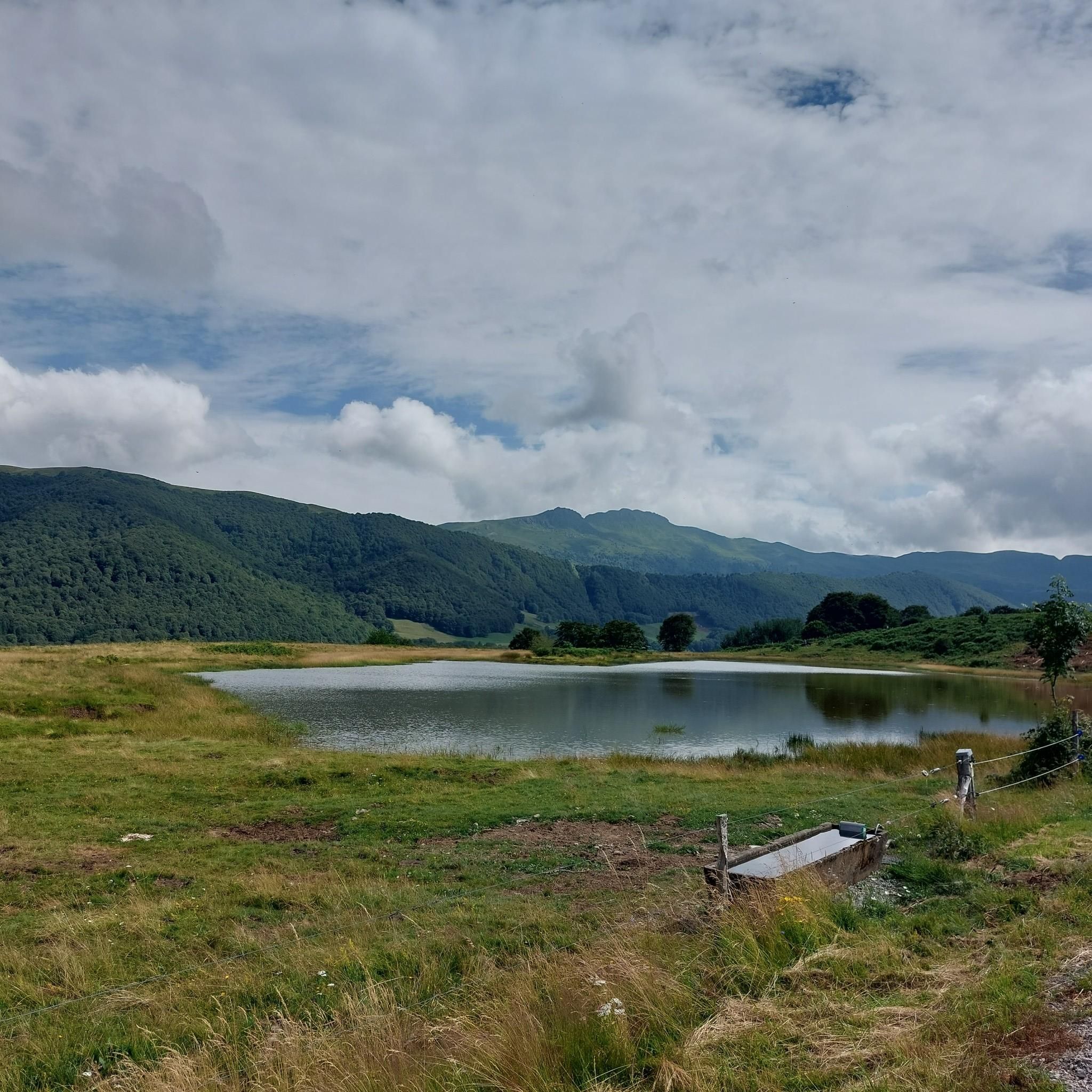
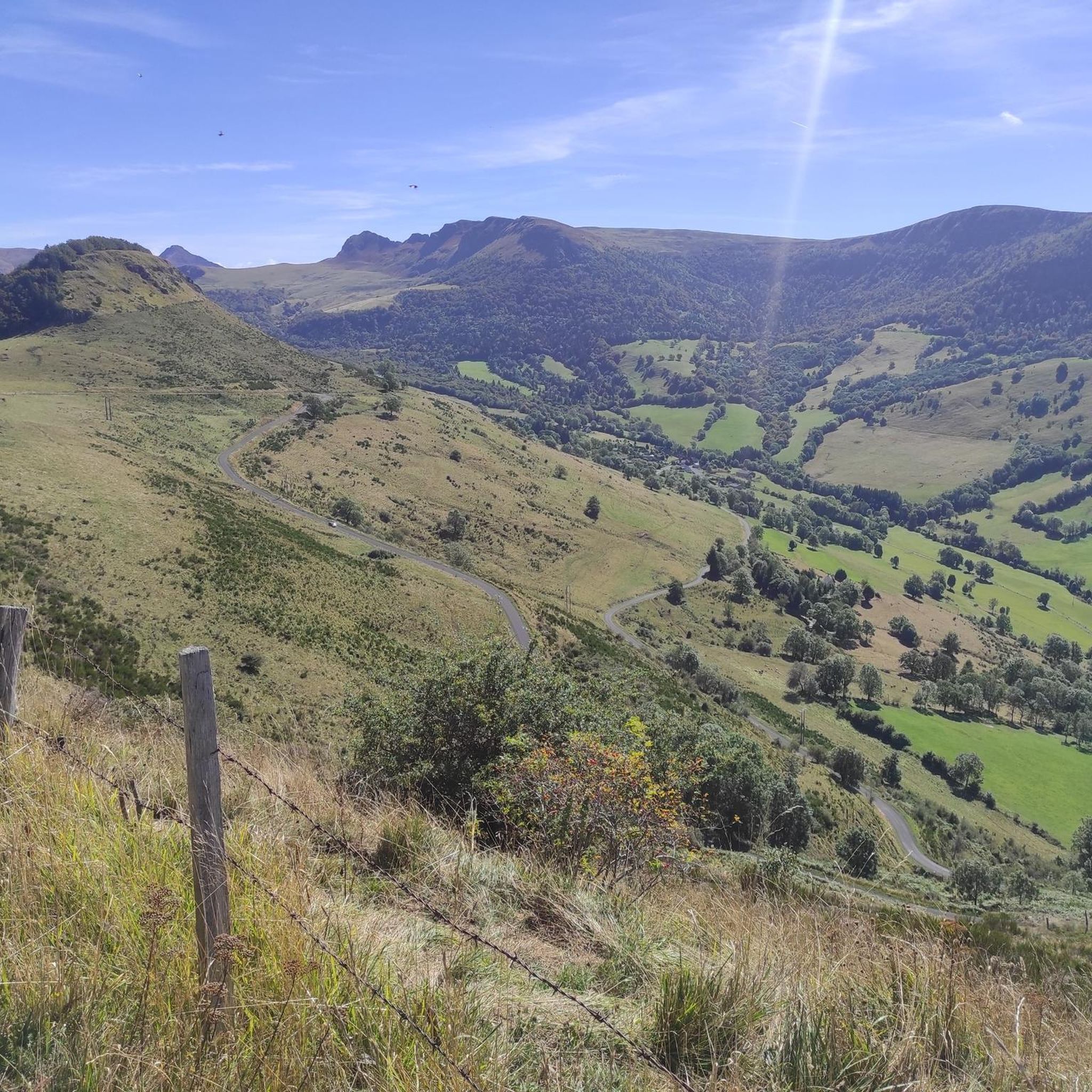
Jogging routes around Le Vaulmier traverse a landscape shaped by ancient volcanic activity and glaciers, situated within the Auvergne Volcanoes Regional Nature Park. The region features prominent volcanic peaks, deep glacial valleys like the Mars Valley, and the undulating terrain of the Monts du Cantal. Joggers can expect a diverse environment ranging from lush forests and green meadows to high-altitude basaltic plateaus and open ridges, offering a range of running conditions across its extensive trail network.
Best jogging routes around…
Last updated: October 16, 2026
19
runners
14.5km
02:01
530m
530m
Hard run. Very good fitness required. Sure-footedness, sturdy shoes and alpine experience required.
16
runners
9.43km
01:20
450m
450m
Hard run. Very good fitness required. Mostly paved surfaces. Suitable for all skill levels.

16
runners
11.4km
01:35
410m
410m
Hard run. Very good fitness required. Sure-footedness, sturdy shoes and alpine experience required.
14
runners
6.90km
00:52
170m
170m
Moderate run. Good fitness required. Mostly paved surfaces. Suitable for all skill levels.
11
runners
14.2km
02:02
600m
600m
Hard run. Very good fitness required. Sure-footedness, sturdy shoes and alpine experience required.
Get access to more routes and recommendations from other explorers.
Already have an account?
Our route recommendations are based on thousands of hikes, rides, and runs completed by other people on komoot.
Start today with a free account
Your next adventure awaits.

Tips from the Community

At least 5 possibilities to climb it. Only the direct ascent via Falgoux is difficult with 4 km at an average of 9%. But the view is not extraordinary in the forest.
0
0

Either stressful or relaxed from Puy Mary.
1
0

From Salers, a pass with low percentages but with a magnificent view of the Santoire valley.
1
0

The rise of Neronne is a great aperitif before the Pas De Peyrol… But better not to have left feathers on Neronne by looking down on it because of its relative accessibility… Otherwise…
2
0

The Brèche d'Enfloquet forms the passage between the Vallée du Mars and the Vallée de l'Aspre.
0
0
The Roc des Ombres dominates the Vallée du Mars and the Vallée de l'Aspre at an altitude of 1,614 m.
1
0
All Cantalous people know the Brèche de Roland on the flanks of Puy Mary (and whose name obviously refers to that of the Pyrenees), but the Brèche d'Enfloquet, which constitutes the passage between the Vallée du Mars and the Vallée de l' Aspre is another impressive site in the Cantal massif during a hike.
2
0

Made from the summit of Pas de Peyrol. One of my fondest memories of the trip. A pleasant descent on a deserted road. The slope is not steep, you just have to let yourself slide and withdraw your heart from the beauty of the landscape. If you are sensitive to the sublime, the void on your left will take you by the throat.
0
0
Frequently Asked Questions
How many running routes are available around Le Vaulmier?
Le Vaulmier and its surroundings offer a wide selection of running routes, with over 60 trails documented on komoot. This includes a diverse range of options from easy jogs to challenging trail runs.
What kind of terrain can I expect on running trails near Le Vaulmier?
The terrain around Le Vaulmier is incredibly varied, shaped by ancient volcanic activity and glaciers within the Auvergne Volcanoes Regional Nature Park. You'll encounter dramatic volcanic peaks, deep glacial valleys like the Mars Valley, undulating landscapes of the Monts du Cantal, lush forests, green meadows, and high-altitude basaltic plateaus. This diverse topography provides a mix of challenging ascents, ridge paths, and shaded forest trails.
Are there any easy running routes suitable for beginners or casual joggers?
While many routes in Le Vaulmier are moderate to difficult, there are a few easier options available. Komoot lists 3 easy routes, which are generally suitable for all fitness levels, often featuring mostly paved surfaces and minimal elevation gain. These provide a great way to enjoy the scenery without extreme physical demands.
What are some notable natural features or landmarks I might see while jogging?
Jogging in Le Vaulmier offers breathtaking views of its volcanic landscape. You can expect to see prominent features like Puy Mary Summit, a major volcanic peak, and other summits such as Puy Chavaroche and Puy de Niermont. The region is also characterized by its glacial valleys, such as the Mars and Jordanne, and scenic mountain passes like Pas de Peyrol Pass and Neronne Pass.
Are there any circular running routes in the Le Vaulmier area?
Yes, many of the running routes around Le Vaulmier are designed as loops, allowing you to start and finish in the same location. For example, the challenging Puy Mary – Col de Redondet loop from Le Vaulmier and the Shadow Rock – Brèche d'Enfloquet loop from Le Falgoux are popular circular options.
What is the best time of year to go jogging in Le Vaulmier?
The best time to go jogging in Le Vaulmier is generally during the warmer months, from late spring to early autumn. This period offers more stable weather conditions, accessible trails, and the full beauty of the lush landscapes. Winter can bring snow and ice, making some higher-altitude trails challenging or impassable, especially for running.
Are there options for challenging trail runs for experienced runners?
Absolutely. Le Vaulmier is an excellent destination for experienced trail runners seeking a challenge. There are 28 difficult routes, including the extensive Puy Mary – Col de Redondet loop from Le Vaulmier, which spans nearly 59 km with significant elevation gain. Other demanding options include the Roc d'Hozières – Col du Roc d'Auzière loop from Le Falgoux, known for its varied views and elevation changes across the Monts du Cantal.
How do other runners rate the trails in Le Vaulmier?
The running routes in Le Vaulmier are highly regarded by the komoot community, holding an average rating of 4.1 stars from over 5 reviews. More than 1200 runners have used komoot to explore the area, often praising the dramatic volcanic scenery, diverse terrain, and the immersive natural experience.
What are the parking options for accessing the running trails?
While specific parking details for every trailhead are not provided, Le Vaulmier and nearby villages like Le Falgoux typically offer parking areas. It's advisable to check local signage or specific route descriptions on komoot for designated parking spots near your chosen starting point.
Is public transport available to reach the trailheads?
Public transport options directly to remote trailheads in the Auvergne Volcanoes Regional Nature Park can be limited. It's generally recommended to have a car for maximum flexibility when accessing the diverse running routes around Le Vaulmier. For detailed information on regional transport, it's best to consult local tourism resources.
Can I bring my dog on the running trails around Le Vaulmier?
Many trails within the Auvergne Volcanoes Regional Nature Park are generally dog-friendly, especially if your dog is kept on a leash. However, it's always recommended to check specific regulations for individual trails or protected areas, as rules can vary, particularly concerning wildlife protection or livestock grazing areas.
Are there any routes that offer panoramic views?
Yes, the volcanic landscape of Le Vaulmier is renowned for its panoramic views. Routes around Puy Mary Summit, such as the Puy Mary – Col de Redondet loop from Le Vaulmier, offer magnificent vistas of the surrounding twelve valleys. Ridge paths in the Monts du Cantal and high-altitude plateaus also provide expansive and breathtaking scenery.
What makes the landscape around Le Vaulmier unique for running?
The landscape around Le Vaulmier is unique due to its dramatic volcanic origins and glacial shaping, creating a diverse and visually stunning environment. Runners can experience everything from the iconic 'pyramid viewed from the sky' at Puy Mary to lush glacial valleys, ancient beech forests, and open basaltic plateaus. This geological history provides a constantly changing backdrop for your run, making each trail a distinct adventure.
Most popular attractions around Le Vaulmier

Get inspired with the komoot mobile app


Explore more
Browse the best Running Trails & Routes in other regions.
