The best walks and hikes around Plouider
4.6
(1439)
8,209
hikers
299
hikes
Hiking around Plouider offers diverse landscapes, blending coastal paths with inland features. The region is characterized by its proximity to the GR34 coastal trail, providing views where green fields meet the ocean. Trails often incorporate natural features like Goulven Bay and historical elements such as chapels and manors. The terrain generally consists of easily-accessible paths suitable for various fitness levels.
Best hiking trails around Plouider
- The most popular hiking route is Goulven Church – Goulven Bay loop from Plouider,…
Last updated: October 8, 2026
4.5
(11)
48
hikers
9.34km
02:29
90m
90m
Moderate hike. Good fitness required. Easily-accessible paths. Suitable for all skill levels.
4.7
(7)
38
hikers
7.80km
02:03
70m
70m
Moderate hike. Good fitness required. Easily-accessible paths. Suitable for all skill levels.

4.3
(3)
18
hikers
7.13km
01:56
90m
90m
Easy hike. Great for any fitness level. Easily-accessible paths. Suitable for all skill levels.
4.7
(3)
14
hikers
4.15km
01:03
10m
10m
Easy hike. Great for any fitness level. Easily-accessible paths. Suitable for all skill levels.
5.0
(1)
10
hikers
10.2km
02:46
140m
140m
Moderate hike. Good fitness required. Easily-accessible paths. Suitable for all skill levels.
Get access to more routes and recommendations from other explorers.
Already have an account?
Our route recommendations are based on thousands of hikes, rides, and runs completed by other people on komoot.
Start today with a free account
Your next adventure awaits.

Tips from the Community


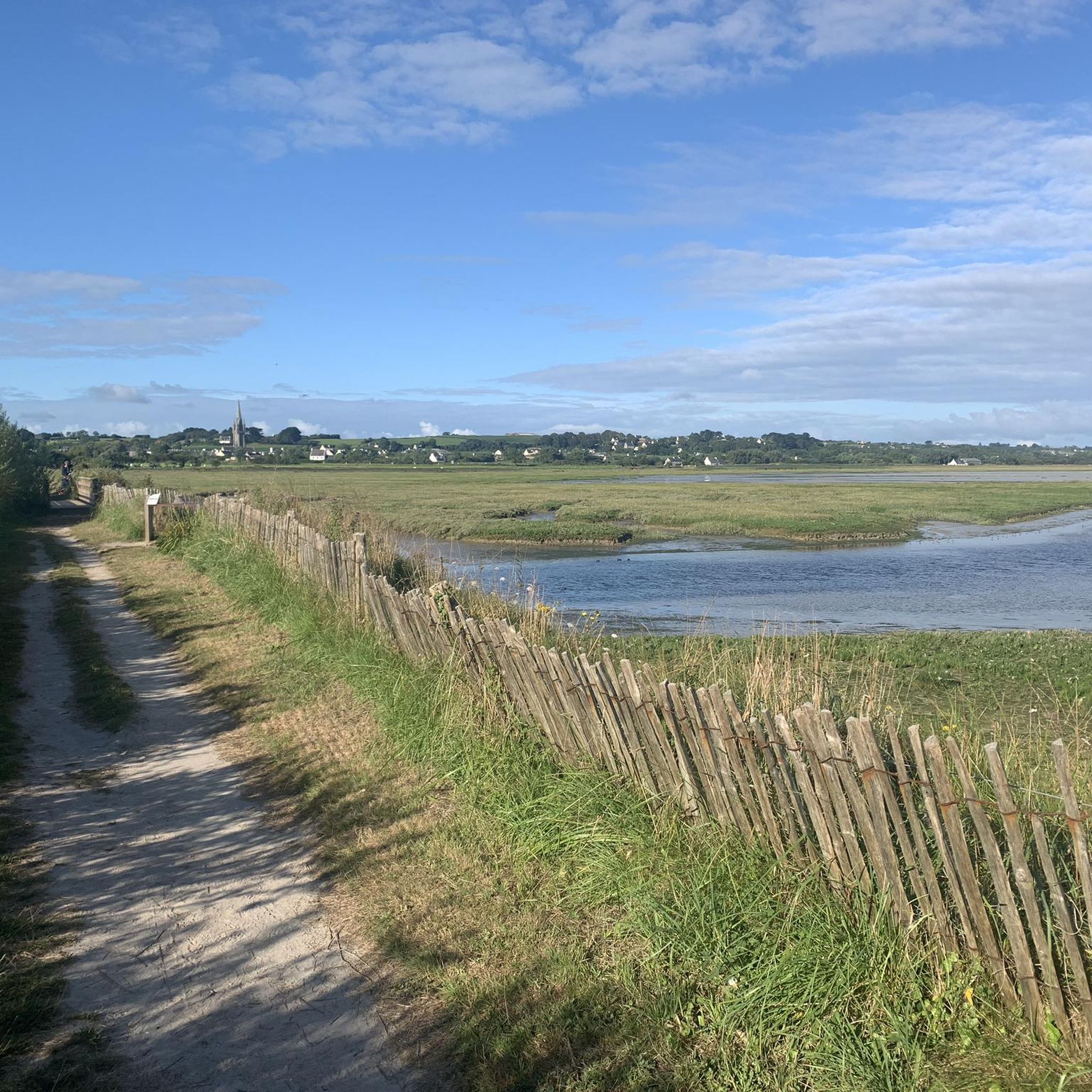
Saint-Goulven Church is located in Goulven in Finistère, Brittany (France). It is situated within a parish enclosure. The church is dedicated to Saint Goulven and dates from the 16th century. The church is Gothic in style with a Renaissance bell tower. The spire is exquisitely sculpted. It is listed as a historical monument by the list of 186; the cemetery surrounding the church was listed in 1946. https://fr.wikipedia.org/wiki/%C3%89glise_Saint-Goulven_de_Goulven
0
0

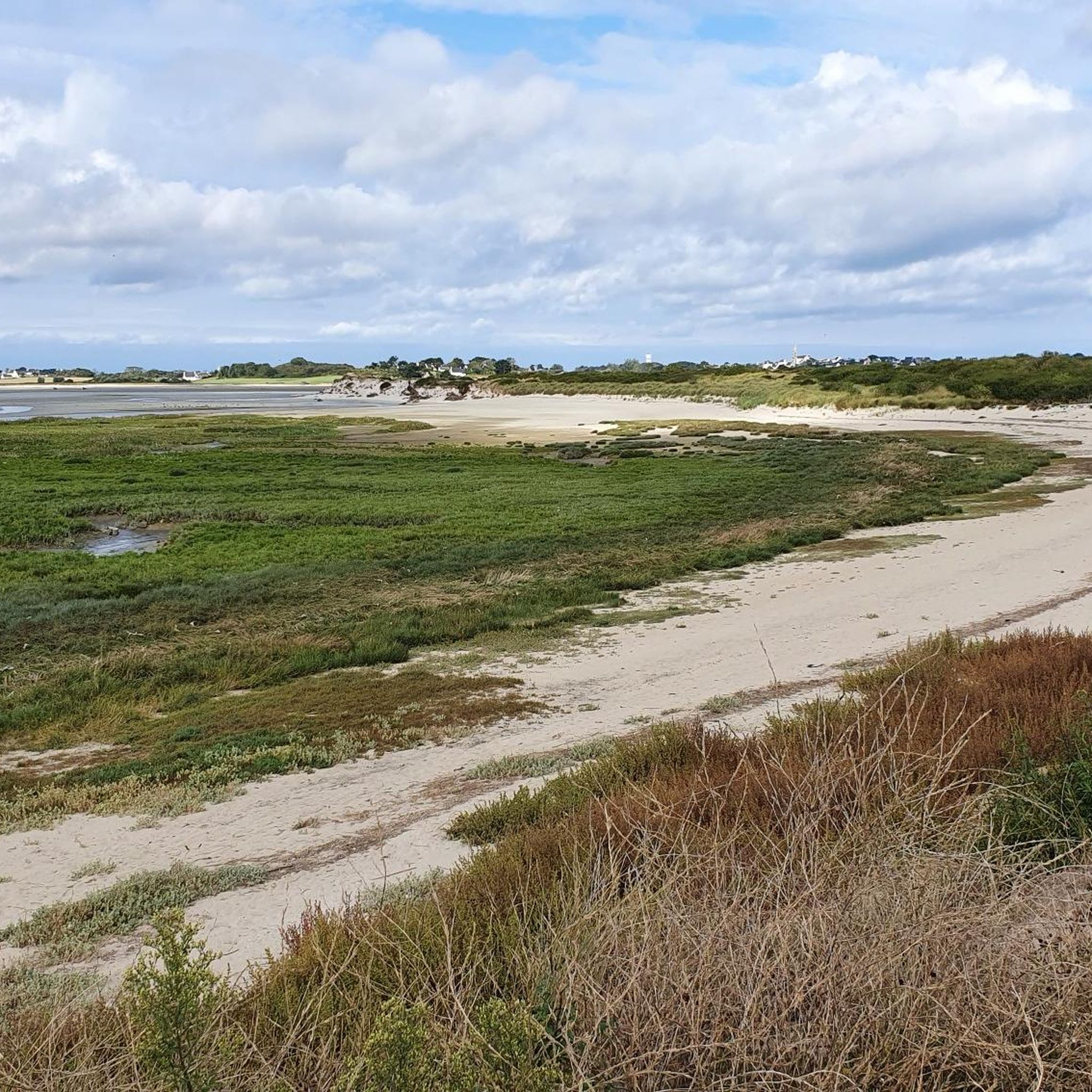
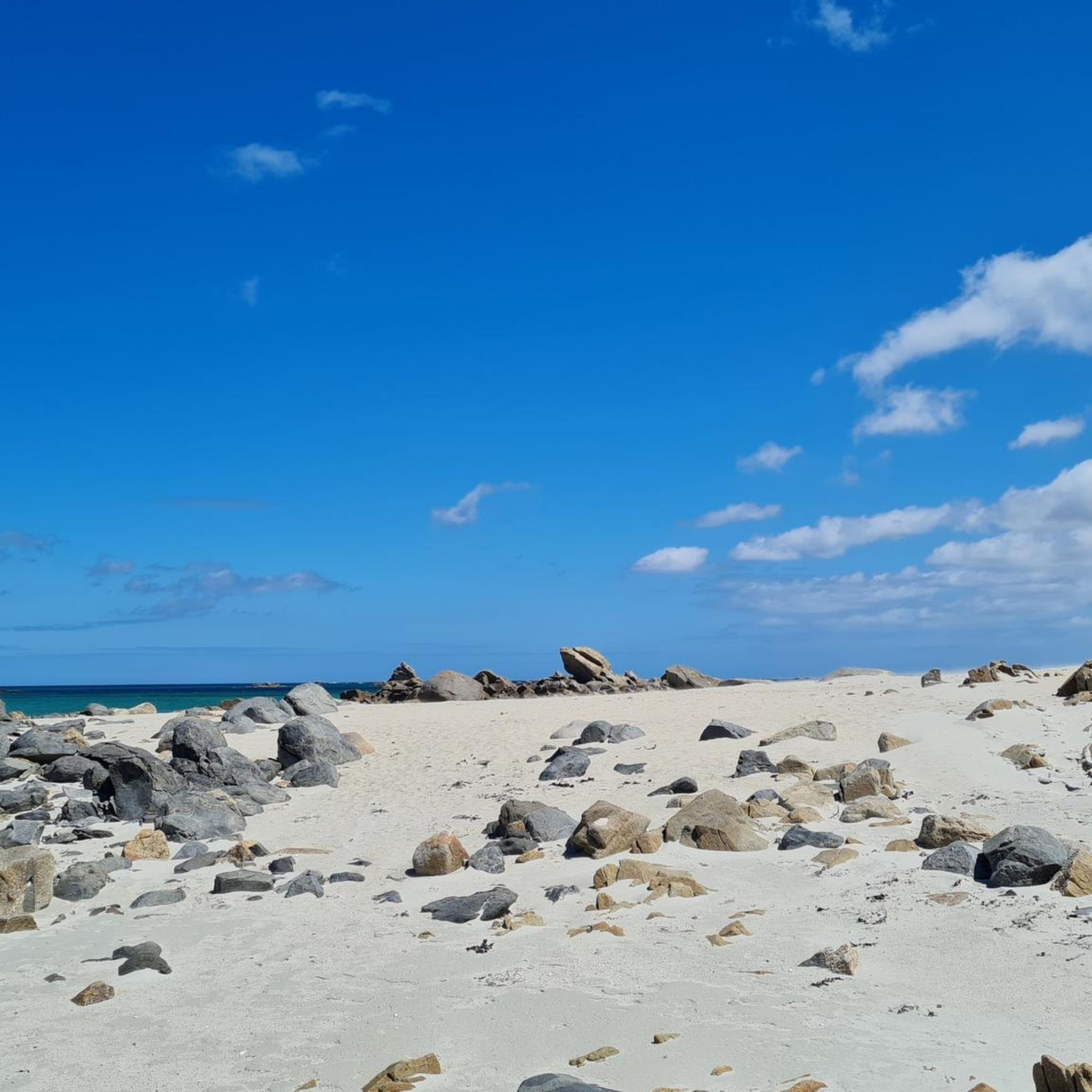
Over more than six kilometers, the Kerrema dunes constitute an exceptional space where dune flora exults. Dunes play a primary natural role: they protect land from sand blown by winds. Be vigilant and stay on marked trails.
0
0

Panel presenting the protected natural site, the routes, faunal, floristic and geological issues.
0
0


The small chapel right next to the big main church. More: http://www.infobretagne.com/plouider-chapelle_notredame.htm
0
0
Frequently Asked Questions
What kind of terrain can I expect on hiking trails around Plouider?
The hiking trails around Plouider are generally characterized by easily-accessible paths. You'll find a blend of coastal environments, particularly around Goulven Bay, and inland routes that traverse green fields. The region is known for its picturesque shores and natural scenery, offering a varied landscape for walkers.
Are there many easy hiking trails suitable for beginners or families in Plouider?
Yes, Plouider offers a good selection of easy trails. Approximately half of the 16 available routes are rated as easy, making them suitable for beginners or families. An example is the Saint-Fiacre Chapel loop from Pont du Châtel, which is an easy 7.1 km path featuring historical architecture.
What are the typical elevation gains on hikes in Plouider?
The elevation gains on hikes in Plouider are generally moderate. For instance, the Goulven Church – Goulven Bay loop from Plouider, a 9.5 km moderate route, has an elevation gain of about 98 meters. Even longer routes like the Goulven Bay – Goulven Church loop from Plouider, at 11.8 km, feature an elevation gain of around 128 meters, indicating that most trails avoid significant, strenuous climbs.
Are there any circular hiking routes in Plouider?
Yes, many of the trails in Plouider are designed as loops, offering convenient circular routes. Examples include the Goulven Church – Goulven Bay loop from Plouider and the Saint-Fiacre Chapel loop from Pont du Châtel. These circular paths allow you to start and end at the same point, making planning easier.
What historical landmarks or attractions can I see along the hiking trails in Plouider?
Plouider's trails often pass by interesting historical sites. You can encounter religious architecture such as the 16th-century Saint-Fiacre Chapel, or the Saint-Didier church. The area also features numerous calvaries and crosses, remnants like the Veuleury blockhouses from World War II, and the ancient Kerbervaz dolmen. Additionally, several 17th to 19th-century manors like Kerozet and Kerivin can be admired. For specific highlights, consider visiting the Meneham Village and Guardhouse or the Pontusval lighthouse nearby.
Are there any notable natural features or viewpoints to discover while hiking in Plouider?
Absolutely. Plouider offers access to the renowned GR34, also known as the Customs Trail, which provides breathtaking seaside views. Goulven Bay is a prominent natural feature, incorporated into several hiking loops, where you can experience the coastal environment. You might also encounter unique rock formations like the Face-Shaped Rock of Kerlouan or the Dachshund Rock at Crémiou in the surrounding area.
What do other hikers enjoy most about the trails in Plouider?
The trails in Plouider are highly rated by the komoot community, with an average score of 4.6 stars from over 1,000 reviews. Hikers often praise the diverse landscapes, the blend of coastal paths with green fields, and the presence of historical elements like chapels and manors. The easily-accessible paths suitable for various fitness levels are also frequently highlighted.
Is Plouider a good destination for dog-friendly hiking?
While specific rules for dog access on every trail can vary, the natural and coastal environment of Plouider generally welcomes responsible dog owners. Many paths are open for walks with leashed dogs. It's always recommended to check local signage or specific route details for any restrictions, especially in protected natural areas or near wildlife.
What is the best time of year to go hiking in Plouider?
Brittany's coastal climate makes hiking in Plouider enjoyable for much of the year. Spring and early autumn often offer pleasant temperatures and fewer crowds, ideal for exploring. Summer is also popular, especially for coastal walks, though it can be busier. Winter hikes can be invigorating, but be prepared for cooler, potentially wetter weather.
Are there options for public transport to reach hiking trailheads in Plouider?
While Plouider is a rural area, some local bus services might connect to nearby towns. However, for direct access to many trailheads, especially those leading to coastal paths or specific historical sites, personal transport is often the most convenient option. It's advisable to research local bus schedules if you plan to rely on public transport.
Where can I find parking for hiking trails in Plouider?
Parking is generally available near popular trailheads and points of interest in and around Plouider. For routes like those exploring Goulven Bay or starting near chapels, you can usually find designated parking areas in nearby villages or at specific scenic spots. Always look for official parking to ensure you're not obstructing local access or private property.
Are there any long-distance hiking routes accessible from Plouider?
Yes, Plouider offers excellent access to the renowned GR34, also known as the Customs Trail (Sentier des Douaniers). This celebrated coastal path winds along the entire Brittany coast, providing opportunities for long-distance hiking with breathtaking seaside views. You can join sections of the GR34 directly from the Plouider area.
Most popular attractions around Plouider

Get inspired with the komoot mobile app


Explore more
Browse the best Hikes in other regions.
