The best MTB trails around Varennes-Lès-Mâcon
4.4
(261)
1,330
riders
186
rides
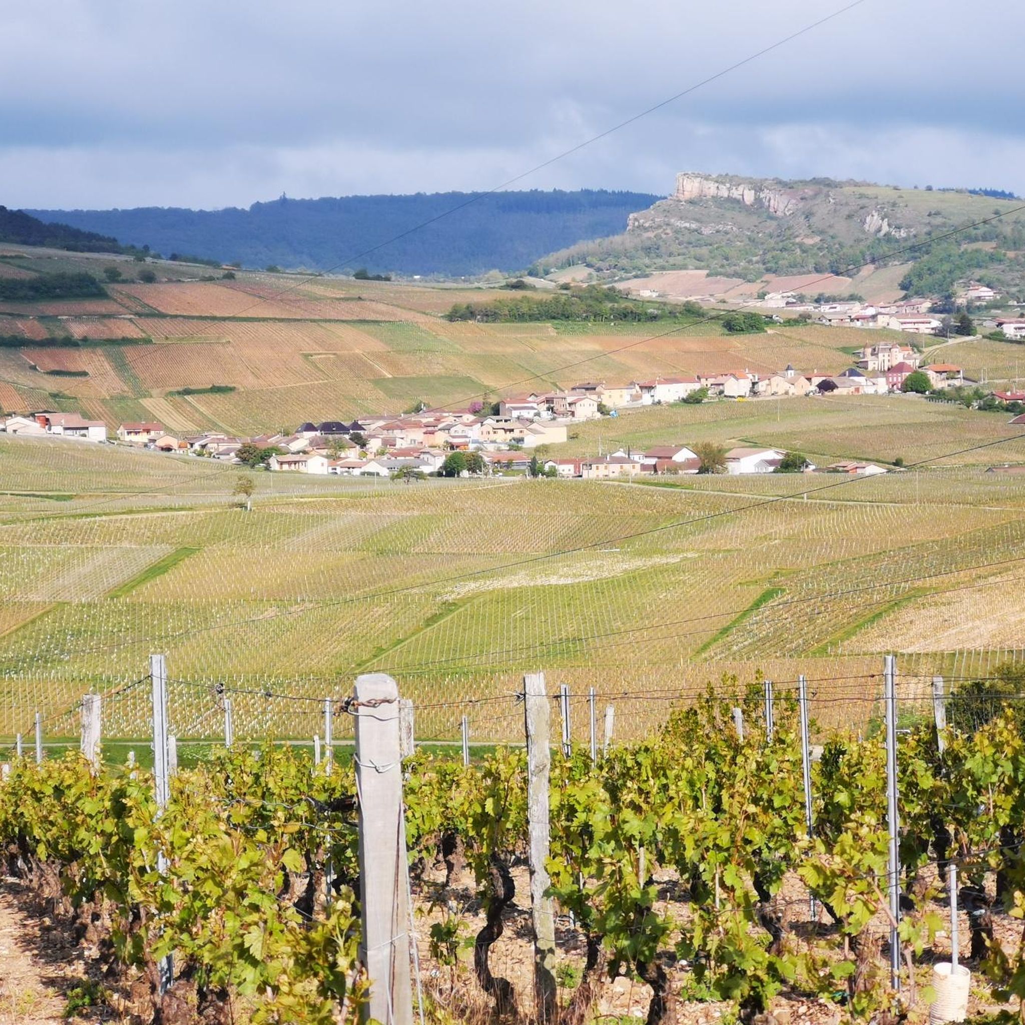
Mountain biking around Varennes-Lès-Mâcon offers diverse landscapes, characterized by rolling hills, extensive vineyards, and tranquil forest paths. The region features prominent natural landmarks such as the Roche de Solutré, a 495-meter hill providing panoramic views, and routes that often cross the Saône River. Riders can explore the rural paths of the Bresse bocage, known for its peaceful hamlets and ponds, or venture into the certified mountain bike areas of Bresse and Revermont. This varied terrain provides a range of experiences…
Last updated: July 11, 2026
4.5
(21)
54
riders
36.1km
03:15
720m
720m
Moderate mountain bike ride. Good fitness required. Suitable for all skill levels.
5.0
(1)
15
riders
44.3km
04:16
1,120m
1,120m
Hard mountain bike ride. Very good fitness required. Suitable for all skill levels.

Sign up for free
4.0
(3)
12
riders
16.7km
01:38
370m
370m
Moderate mountain bike ride. Good fitness required. Suitable for all skill levels.
5.0
(3)
10
riders
29.0km
02:48
760m
760m
Moderate mountain bike ride. Good fitness required. Advanced riding skills necessary.
8
riders
45.1km
04:15
1,080m
1,070m
Hard mountain bike ride. Very good fitness required. Advanced riding skills necessary.
Get access to more routes and recommendations from other explorers.
Sign up for free
Already have an account?
Our route recommendations are based on thousands of hikes, rides, and runs completed by other people on komoot.
Start today with a free account
Your next adventure awaits.
Login or Signup

Tips from the Community

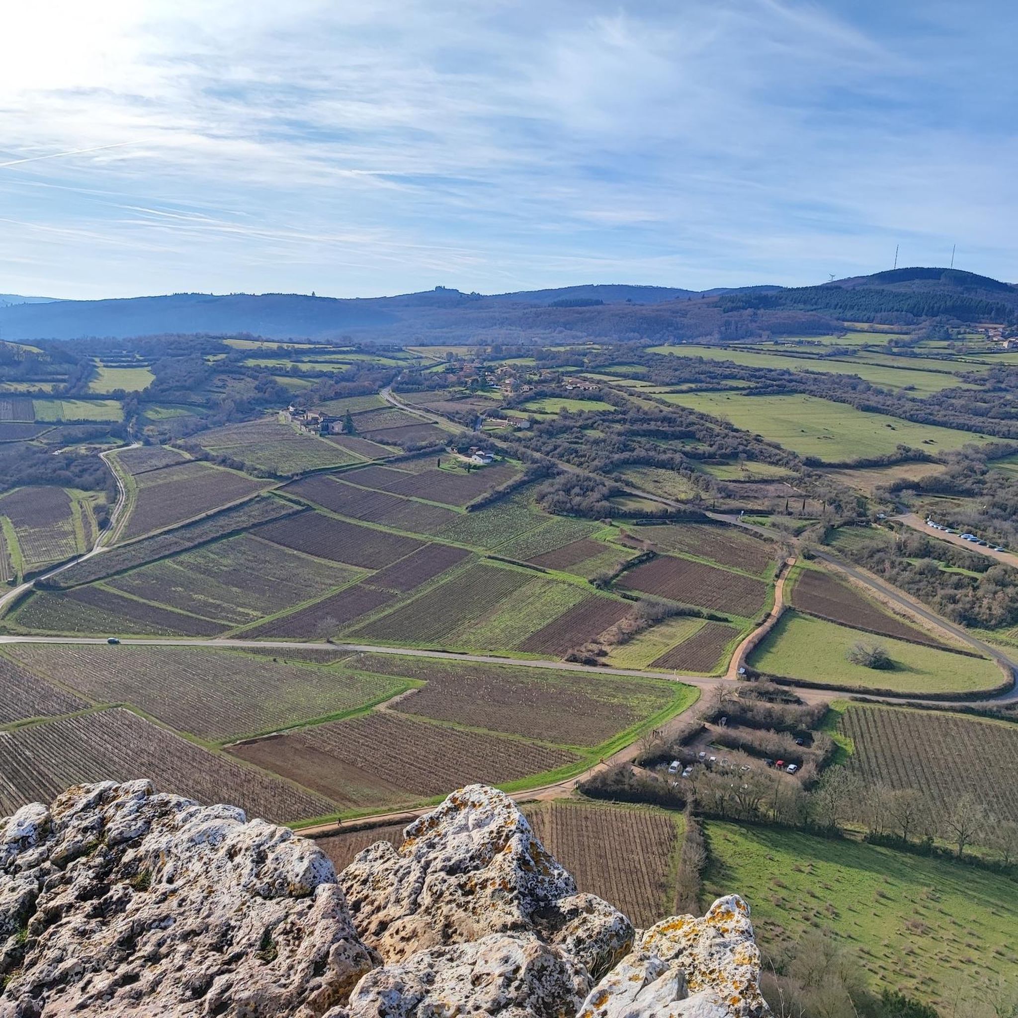
The Rock of Solutré is a world-famous, 493-meter-high limestone rock in the south of the Burgundy region. It is located amidst the picturesque vineyards of the municipality of Solutré-Pouilly. The region is officially designated as a Grand Site de France. The hike to the summit is easy to moderate and very doable for families. It takes about 1 hour for the entire loop (approx. 4 kilometers round trip). The elevation gain is around 100 to 140 meters from the official parking lot on well-maintained paths with information panels, although there are many steps.
1
0
Although the pass is located in France and is not extremely high, its name translates to "Siberia Pass". The name goes back to the often very cold, snow-rich winds and the harsh weather conditions in winter.
1
0
The viewpoint is located in the well-known Beaujolais wine region, in the municipality of Chénas. It is an old stone ruin (historically often referred to as Cabane des Chasseurs or hunter's hut), which has been equipped with a modern metal staircase and a viewing platform. The ruin is located at 515 meters above sea level and offers hikers a spectacular 360-degree panoramic view of the surrounding vineyards and valleys of the region.
2
0
The Col de Gerbet (612 m) is an idyllic mountain pass in the French wine-growing region of Beaujolais. Depending on the starting point, various roads with little traffic lead up to the pass via the D137. From Juliénas (south-east approach): This route is 7.3 kilometers long. It overcomes 342 meters of altitude with a steady, moderate gradient of 4.7% on average. The road winds through shady forest sections. From La Croix Blanche (west approach): A tougher variant 4.5 kilometers long. Here you conquer 270 meters of altitude with an average gradient of 6% and ramps of up to 11%.
1
0

A perfect complement to the Solutré rock and Mont de Pouilly.
1
0

beautiful view of the rocks, not too many cars
0
0

Several paths lead to the summit. A very pretty hike, which can be extended by climbing its big sister, Solutré, for the more athletic.
1
0

A few hundred meters from the church of Saint-Amour-Bellevue, this orientation table takes advantage of its position to open up a wide panorama of the vineyards and the Saône which flows in the distance.
1
0
Frequently Asked Questions
How many mountain bike trails are available around Varennes-Lès-Mâcon?
There are over 180 mountain bike trails around Varennes-Lès-Mâcon, catering to various skill levels. You'll find a mix of easy, moderate, and difficult routes to explore.
What kind of terrain can I expect on mountain bike trails in Varennes-Lès-Mâcon?
The region offers diverse terrain, from rolling hills and extensive vineyards to tranquil forest paths and rural routes through the Bresse bocage. Trails often feature significant elevation changes, especially on routes climbing to viewpoints like Montagne Rémont or Mount Pouilly.
Are there any family-friendly mountain bike trails in the area?
Yes, Varennes-Lès-Mâcon offers 19 easy mountain bike trails that are generally suitable for families. These routes typically have less elevation gain and cover shorter distances, providing a more relaxed riding experience.
What natural landmarks or viewpoints can I see along the mountain bike trails?
Many trails offer stunning views and pass by notable natural features. You can expect panoramic vistas of the Mâconnais vineyards from elevated points like the Roche de Solutré or Rémont Mountain. Some routes also cross the Saône River, providing unique perspectives of the waterway and surrounding towns.
What do other mountain bikers enjoy most about the trails in Varennes-Lès-Mâcon?
The trails in Varennes-Lès-Mâcon are highly rated by the komoot community, with an average score of 4.5 stars from over 200 reviews. Riders frequently praise the varied terrain, the scenic views of the vineyards and natural monuments, and the well-maintained paths that offer a rewarding experience for all skill levels.
Are there mountain bike trails that offer challenging climbs and descents?
Absolutely. The region features 38 difficult mountain bike routes, many of which include significant climbs and technical descents. For example, the View of Solutré-Pouilly – Mount Pouilly loop from Crêches-sur-Saône involves over 1100 meters of elevation gain, offering a strenuous workout and expansive views.
Can I find circular mountain bike routes around Varennes-Lès-Mâcon?
Yes, many of the mountain bike trails in the area are designed as loops, allowing you to start and finish at the same point. Examples include the View from Montagne Rémont – View of Vaux and Pruzilly loop from Crêches-sur-Saône and the Upper Chenas – Rémont Mountain loop from Crêches-sur-Saône.
What is the best time of year for mountain biking in Varennes-Lès-Mâcon?
Spring and autumn generally offer the most pleasant conditions for mountain biking, with milder temperatures and beautiful scenery as the vineyards change color. Summer can be warm, but early mornings or late afternoons are often suitable. Winters are typically cooler, but many trails remain accessible depending on weather conditions.
Are there any specific mountain bike areas or networks in the wider region?
Beyond the immediate vicinity of Varennes-Lès-Mâcon, the Bresse and Revermont mountain bike areas, certified by the Fédération Française de cyclotourisme (FFCT), offer extensive networks of over 220 km and 240 km of trails respectively. These are connected by a 27 km route, significantly expanding your riding options.
Are there any moderate mountain bike trails for intermediate riders?
Yes, the majority of trails in Varennes-Lès-Mâcon are rated as moderate, with 131 such routes available. These trails provide a good balance of challenge and accessibility, often featuring rolling terrain and some elevation changes without being overly technical. An example is the Viewpoint – Mount Pouilly loop from Vinzelles.
Are there any specific regulations or permits required for mountain biking in the Varennes-Lès-Mâcon area?
Generally, no specific permits are required for mountain biking on public trails in the Varennes-Lès-Mâcon area. However, it's always advisable to respect private property, stay on marked trails, and be mindful of local regulations, especially when riding through vineyards or protected natural areas.
Where can I find parking for mountain bike trails in Varennes-Lès-Mâcon?
Many trailheads, especially those starting from towns like Crêches-sur-Saône or near popular attractions, offer designated parking areas. It's recommended to check the starting point of your chosen route on komoot for specific parking information, as options can vary.
Most popular routes around Varennes-Lès-Mâcon
Most popular attractions around Varennes-Lès-Mâcon

Get inspired with the komoot mobile app


Explore more
Browse the best MTB trails in other regions.
