The best walks and hikes around Montabot
4.4
(180)
1,049
hikers
48
hikes
Hiking around Montabot offers a network of trails through varied terrain. The region features rolling hills, including Mont Robin, and areas around water bodies such as Étang du Mesnil Céron. Elevations on these routes typically range up to nearly 200 meters, providing gentle ascents and descents. The landscape is characterized by a mix of woodlands and open countryside, suitable for different hiking preferences.
Best hiking trails around Montabot
- The most popular hiking route is Mont Robin loop from Montabot,…
Last updated: October 8, 2026
4.5
(2)
10
hikers
12.5km
03:26
200m
200m
Moderate hike. Good fitness required. Easily-accessible paths. Suitable for all skill levels.
5
hikers
8.31km
02:16
120m
120m
Moderate hike. Good fitness required. Easily-accessible paths. Suitable for all skill levels.

5.0
(1)
3
hikers
5.22km
01:26
90m
90m
Easy hike. Great for any fitness level. Easily-accessible paths. Suitable for all skill levels.
4
hikers
10.6km
02:56
190m
190m
Moderate hike. Good fitness required. Easily-accessible paths. Suitable for all skill levels.
5
hikers
7.38km
02:02
120m
120m
Moderate hike. Good fitness required. Easily-accessible paths. Suitable for all skill levels.
Get access to more routes and recommendations from other explorers.
Already have an account?
Our route recommendations are based on thousands of hikes, rides, and runs completed by other people on komoot.
Start today with a free account
Your next adventure awaits.


Frequently Asked Questions
How many hiking trails are available around Montabot?
Montabot offers a network of over 50 hiking routes. These trails cater to various skill levels, including easy, moderate, and difficult options, ensuring there's something for everyone.
Are there easy or beginner-friendly hikes in Montabot?
Yes, Montabot has approximately 20 easy trails suitable for beginners or those looking for a relaxed walk. A good option is the Gouvets loop from Gouvets, which is 3.2 miles (5.2 km) long and leads through local countryside.
What kind of landscape can I expect to see while hiking in Montabot?
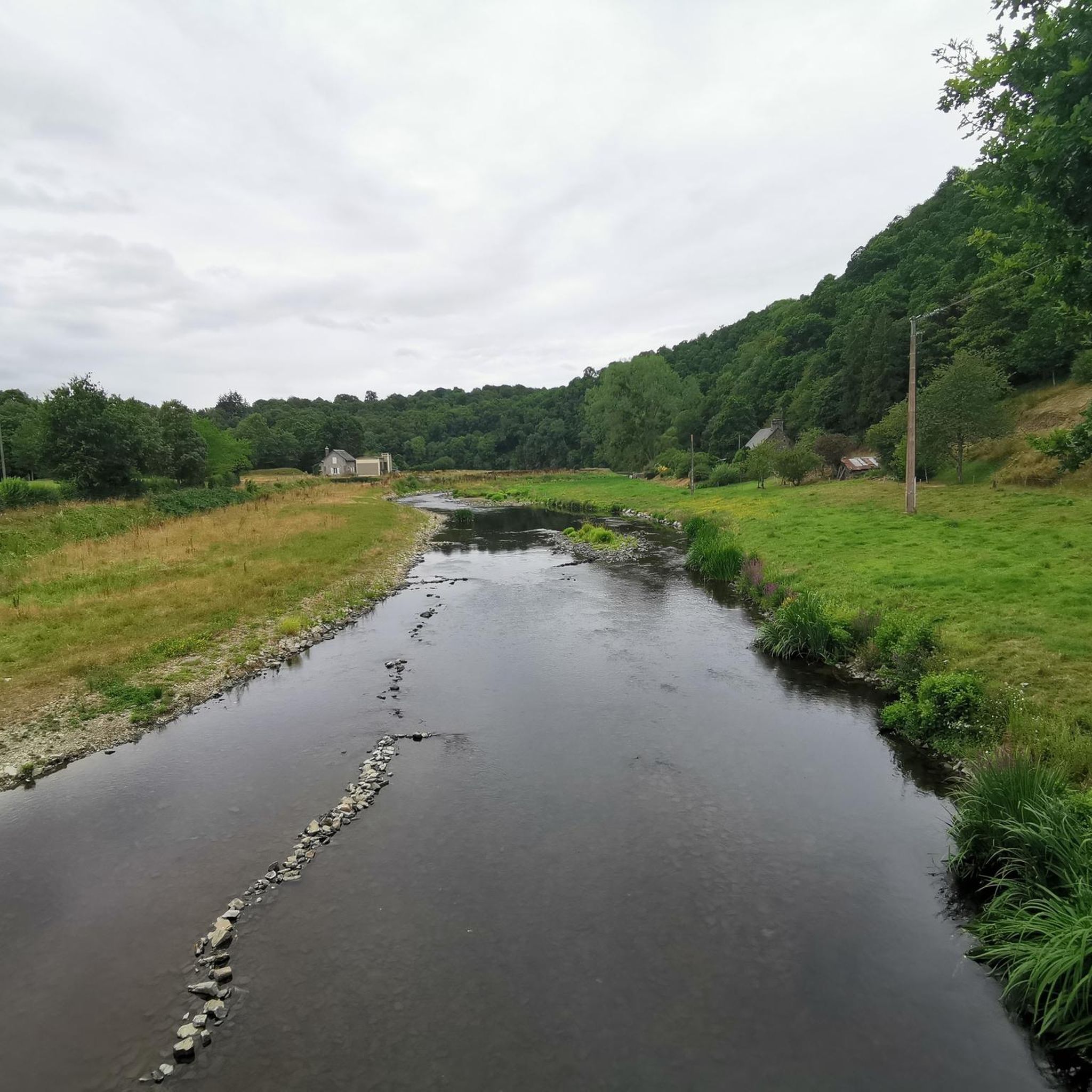
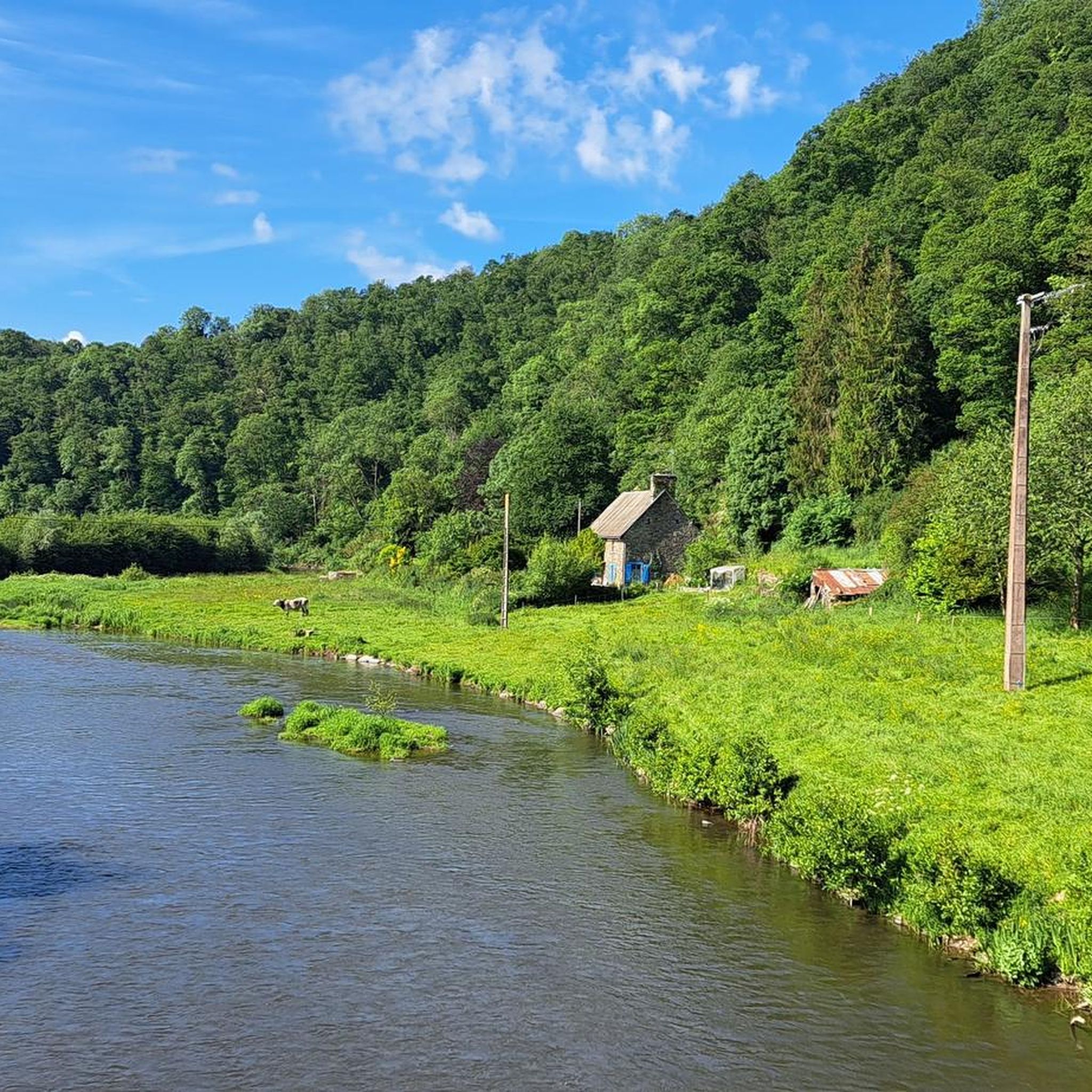
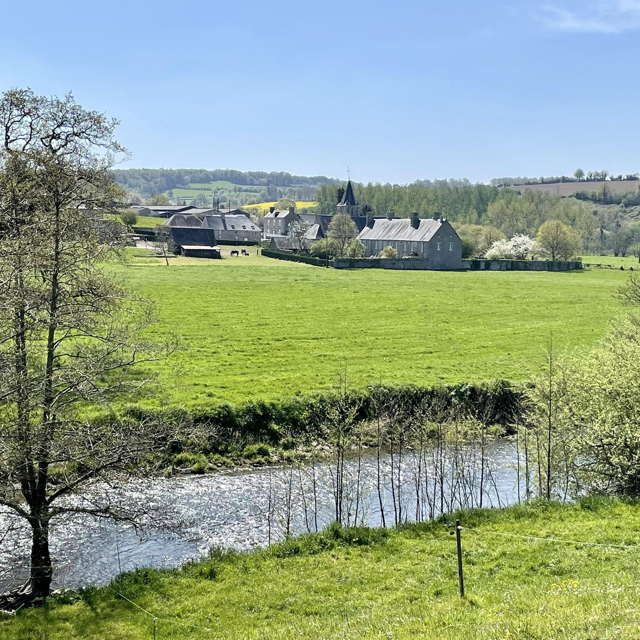
The landscape around Montabot is characterized by rolling hills, including Mont Robin, and tranquil areas around water bodies like Étang du Mesnil Céron. You'll find a mix of woodlands and open countryside, offering varied scenery throughout your hike.
Are there any circular hiking routes in the Montabot area?
Many of the trails around Montabot are circular. For example, the Point de vue des Bruyères loop from Gouvets is a moderate 6.6-mile (10.6 km) route that offers a complete circuit.
What are the typical lengths and durations of hikes in Montabot?
Hikes in Montabot vary in length and duration. You can find shorter routes like the Gouvets loop from Gouvets at 3.2 miles (5.2 km), which takes about 1 hour 26 minutes. Longer, moderate trails like the Mont Robin loop from Montabot cover about 7.8 miles (12.5 km) and typically take around 3 hours 25 minutes.
Are there any family-friendly hiking options in Montabot?
For families, the easier and shorter routes are ideal. Consider trails that explore the local countryside or areas around Étang du Mesnil Céron, which offer gentle terrain and pleasant scenery without being too strenuous. The Gouvets loop from Gouvets is a good example of a shorter, easy trail.
What do other hikers say about the trails in Montabot?
The routes in Montabot are highly regarded by the komoot community, holding an average rating of 4.5 stars from over 160 reviews. Hikers often praise the varied terrain, including rolling hills and tranquil pond areas, and the well-maintained network of trails.
Can I hike with my dog on the trails around Montabot?
Many trails in rural areas like Montabot are generally dog-friendly, but it's always advisable to keep your dog on a leash, especially when passing through farmland or near livestock. Be mindful of local regulations and ensure your dog is well-behaved around other hikers and wildlife.
Are there any interesting landmarks or attractions near the hiking trails?
Yes, there are several notable attractions nearby. You could visit the historic Abbaye de Hambye, or explore the impressive Roches de Ham, which offers panoramic views over the Vire River.
What is the best time of year to go hiking in Montabot?
Spring and autumn generally offer the most pleasant hiking conditions in Montabot, with mild temperatures and beautiful natural scenery. Summer can also be enjoyable, but it's best to start early to avoid the midday heat. Winter hiking is possible, but trails may be muddy or slippery, and daylight hours are shorter.
Where can I find parking for the hiking trails in Montabot?
Parking availability varies by trailhead. Many villages and starting points for popular routes, such as Montabot or Gouvets, typically offer designated parking areas. It's recommended to check specific route details on komoot for parking information related to your chosen trail.
Are there any trails that feature water bodies like ponds or rivers?
Yes, several trails incorporate water features. The area around Étang du Mesnil Céron is a prominent feature, with routes like the Étang du Mesnil Céron loop from Mont Robin offering views and sections along the pond.
Most popular attractions around Montabot

Get inspired with the komoot mobile app


Explore more
Browse the best Hikes in other regions.
