The best running trails around Guissény
4.4
(90)
2,572
runners
34
runs
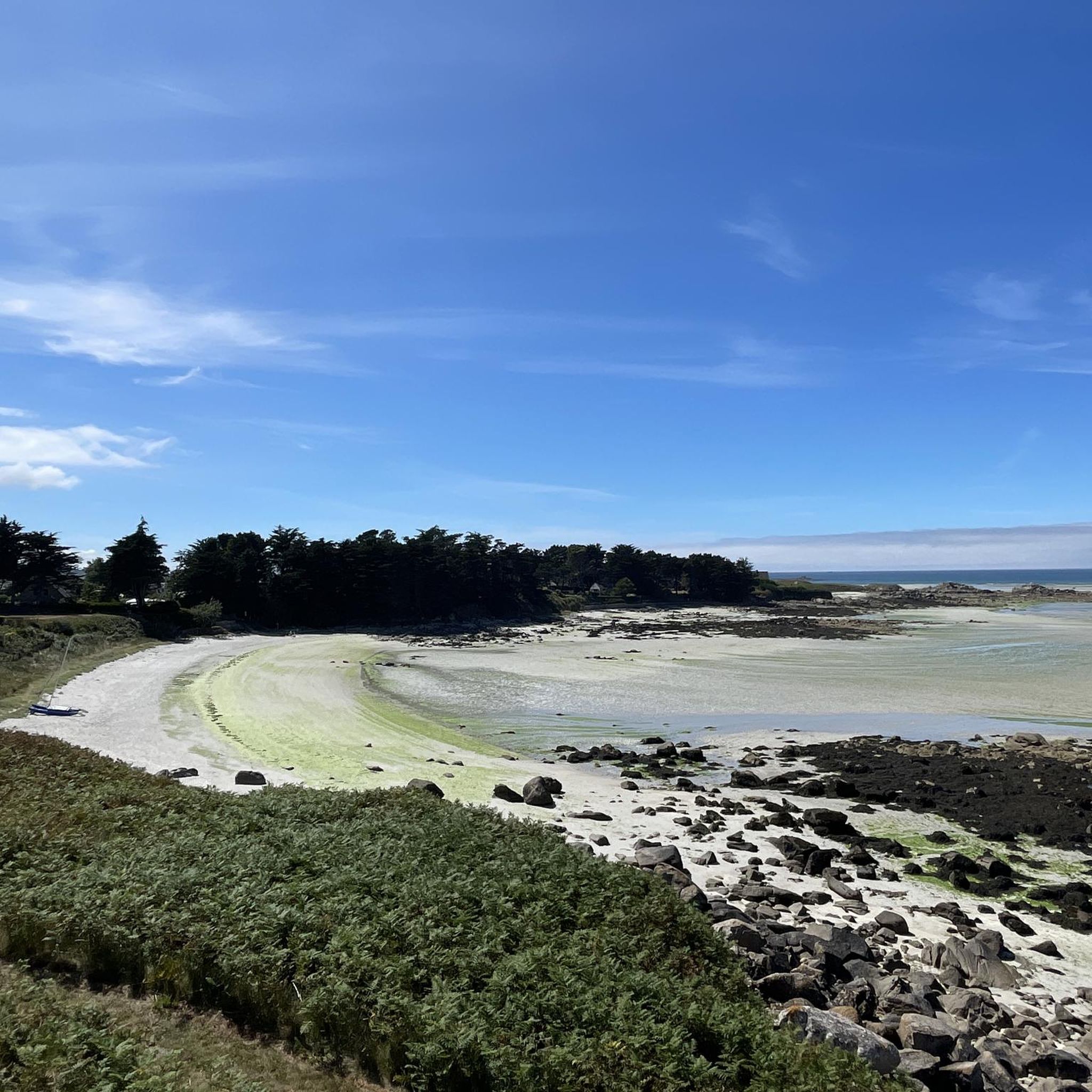
Jogging around Guissény offers diverse natural landscapes, from expansive sandy beaches to protected marshlands and coastal paths. The region is characterized by its fine white sand beaches, such as Vougot, and the iconic GR34 coastal path, providing refreshing sea air and varied terrain. Inland, the Natura 2000 area, including the Curnic marsh and dunes of Sainte-Marguerite, features well-marked trails amidst diverse ecosystems of rocks, dunes, and rich flora and fauna. These natural features create a dynamic environment for running, with…
Last updated: October 8, 2026
4.4
(5)
151
runners
12.9km
01:29
50m
50m
Moderate run. Good fitness required. Mostly paved surfaces. Suitable for all skill levels.
3.8
(5)
294
runners
Hard run. Very good fitness required. Mostly paved surfaces. Suitable for all skill levels.

4.8
(6)
207
runners
10.1km
01:06
40m
40m
Moderate run. Good fitness required. Mostly paved surfaces. Suitable for all skill levels.
4.1
(7)
106
runners
13.7km
01:33
60m
60m
Moderate run. Good fitness required. Mostly paved surfaces. Suitable for all skill levels.
4.9
(11)
54
runners
8.44km
01:00
30m
30m
Moderate run. Good fitness required. Mostly paved surfaces. Suitable for all skill levels.
Get access to more routes and recommendations from other explorers.
Already have an account?
Our route recommendations are based on thousands of hikes, rides, and runs completed by other people on komoot.
Start today with a free account
Your next adventure awaits.
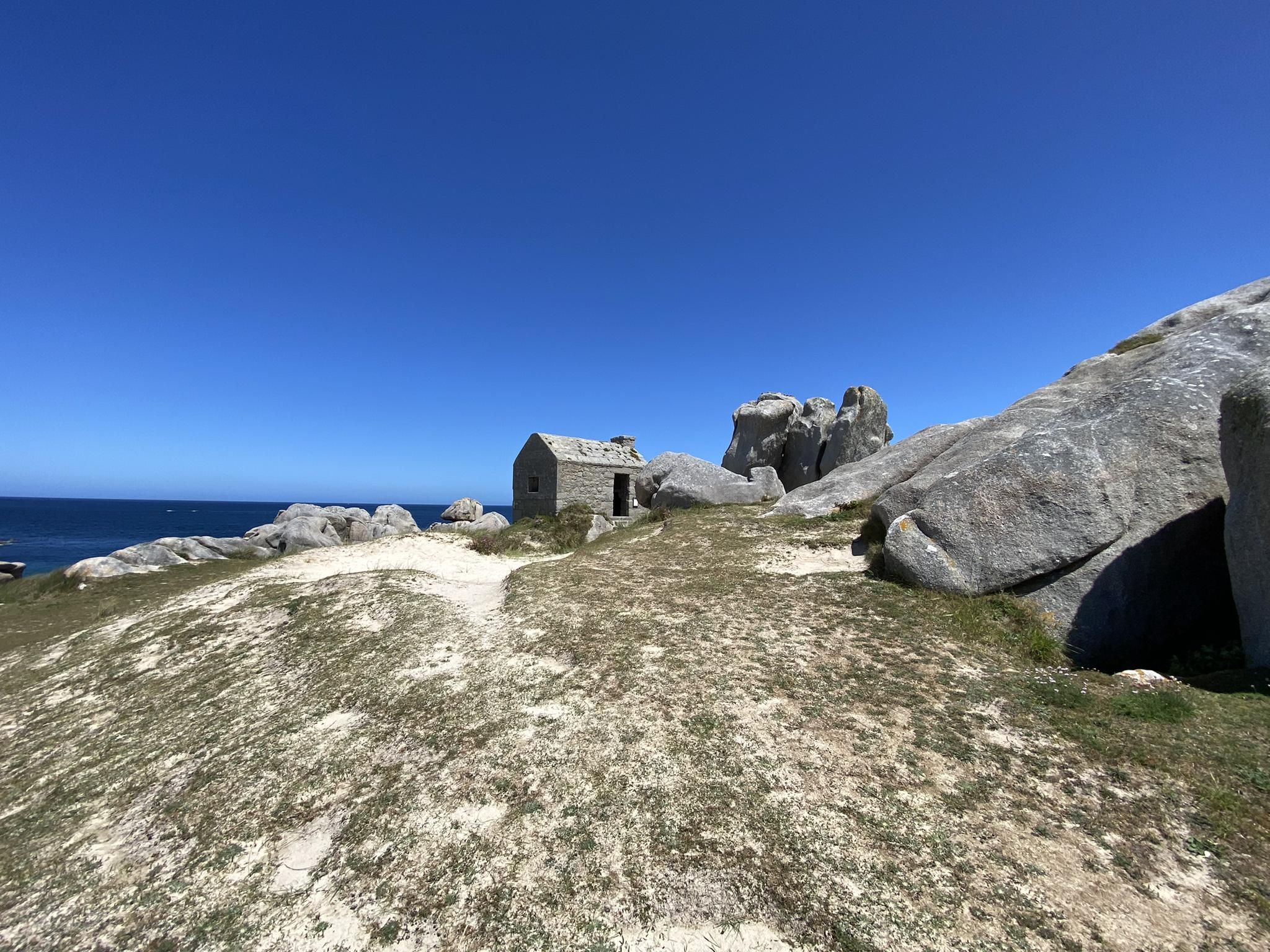
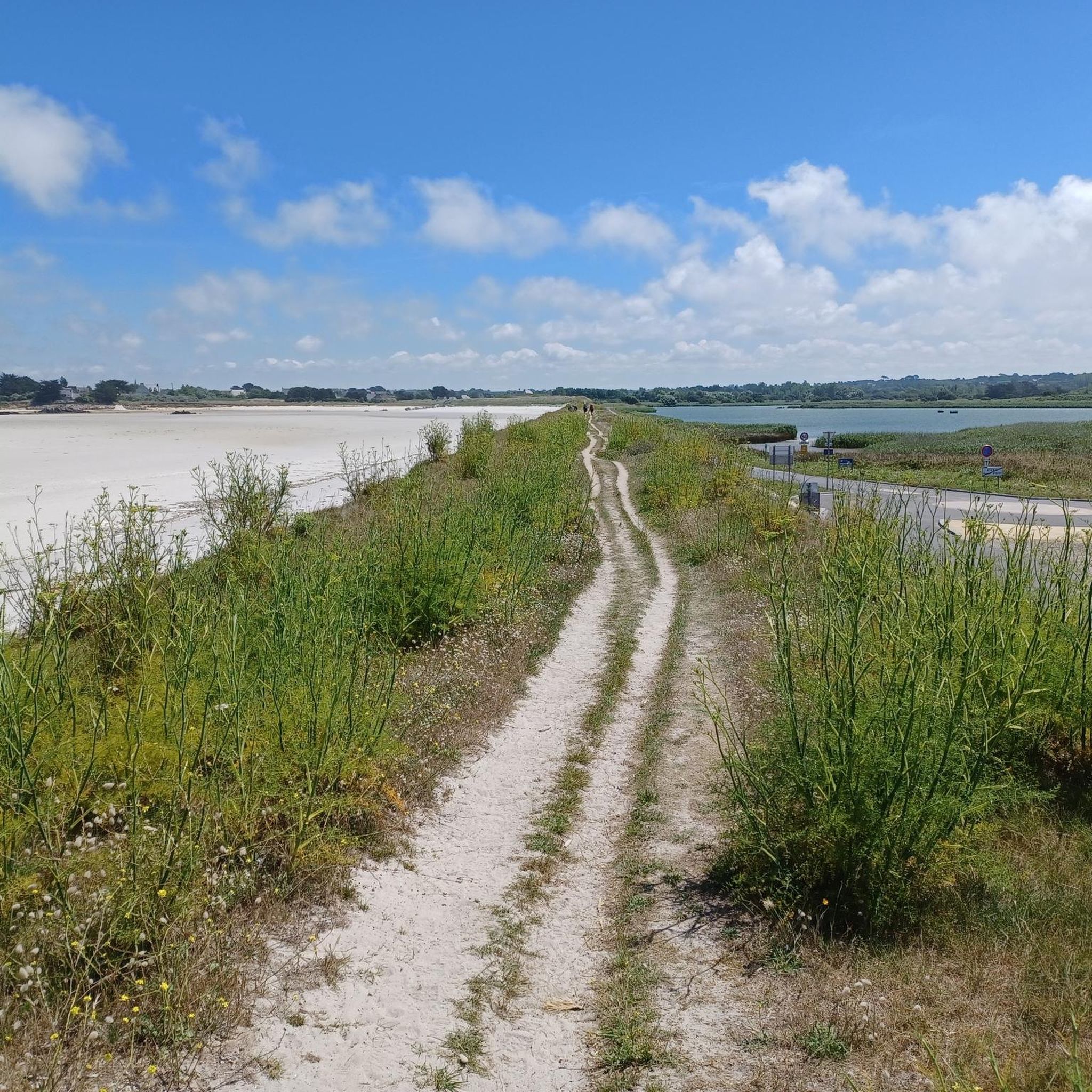
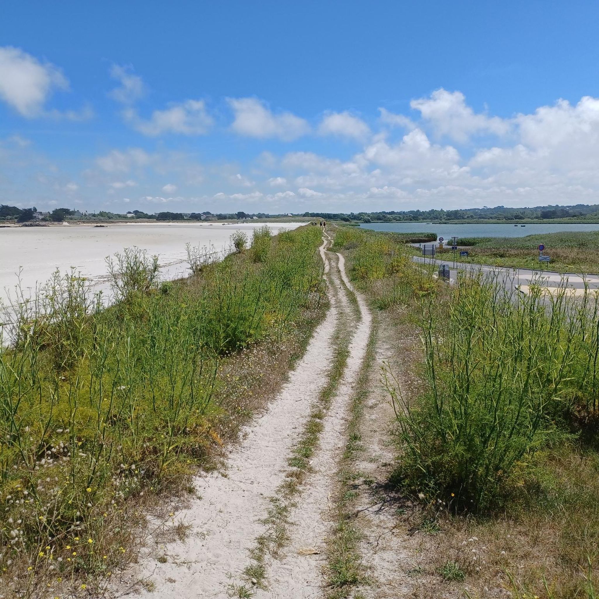
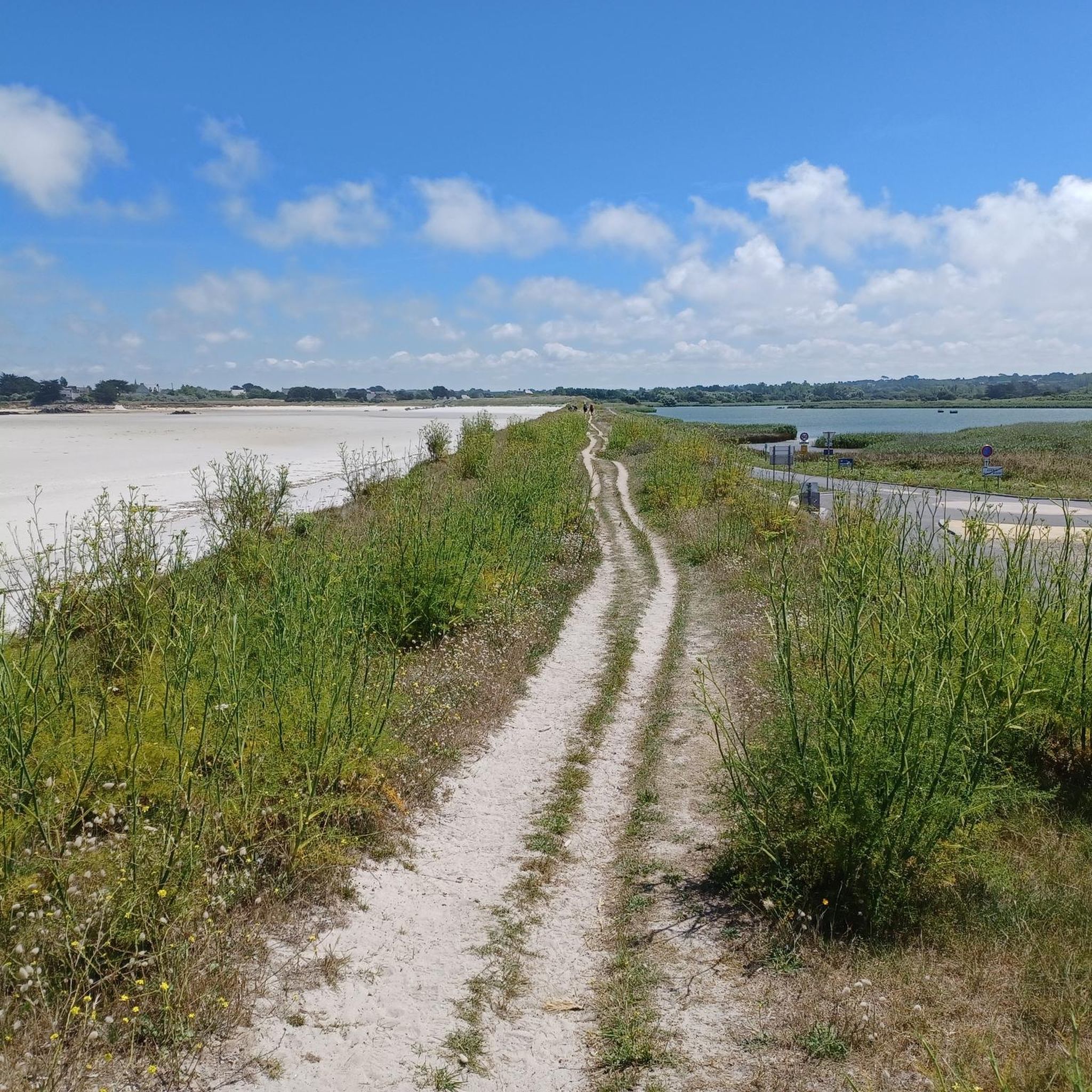
Other adventures around Guissény

Tips from the Community


A footbridge leads over the stream that flows into it. However, the stream is under water when the tide is about 4 metres high. This should be taken into account when planning a hike.
0
0
From the dunes east of the dam you have a great view of the bay and the Etang de Curnic
0
0

The Barrachou are these three immense granite rocks planted on the dune. By climbing on them, they offer a beautiful view of the sea and the surrounding coasts.
2
0

Built twice during the 19th century due to violent storms, the dike was designed to create new agricultural land. Dangerous and temperamental, it has never been exploited except for its sand. Today, it is a place of passage used daily by walkers who travel from Curnic to Nodéven.
0
0
The town, slightly off-center from the customs officers' path, nonetheless remains an interesting stopover. Accommodations and restaurants invite you to take a break, when the parish enclosure arouses curiosity. In addition to its shops open all year round, the summer market brings joy to the town every Tuesday morning in July and August. Bus line 23 takes you to Lesneven then Brest (line 21) or Landerneau (line 26).
0
0


A unique beach for swimming and relaxing. I had my problems there with the MTB.
0
0
Frequently Asked Questions
How many running trails are available in Guissény?
Guissény offers a wide variety of running trails, with over 30 routes available for exploration. These paths cater to different preferences, ranging from easy coastal jogs to more challenging routes with varied terrain.
What kind of terrain can I expect on jogging routes in Guissény?
You can expect a diverse range of terrain in Guissény. Many routes feature fine white sand beaches and the iconic GR34 coastal path, offering refreshing sea air. Inland, you'll find trails through protected areas like the Curnic marsh and the Dunes of Sainte-Marguerite, with varied landscapes of rocks, dunes, and diverse ecosystems. Some routes also highlight unique rock formations and estuary views.
Are there options for different fitness levels among Guissény's running paths?
Yes, Guissény provides running options for all fitness levels. The area features 1 easy route, 21 moderate routes, and 11 difficult routes. Whether you're looking for a gentle jog along the coast or a more challenging run through varied landscapes, you'll find a suitable path.
Are there any running routes in Guissény with sea views?
Absolutely! Guissény is renowned for its coastal beauty. Many running routes, especially those along the GR34 coastal path and the expansive beaches like Vougot, offer breathtaking sea views. For example, the White sand beach – Boutrouilles Beach loop from Guissény takes you directly along the stunning coastline.
Can I find routes that pass by interesting natural landmarks or attractions?
Yes, several running routes in Guissény allow you to discover fascinating natural landmarks. The Les Barrachou Rock Formations – Estuary Near the Stone Wall loop from Guissény, for instance, showcases unique rock formations. You can also explore highlights like the Les Barrachou Rock Formations or the Dachshund Rock at Crémiou along various trails.
Are there any protected natural areas I can explore while running?
Yes, a significant portion of Guissény is within a Natura 2000 area, including the Curnic marsh and the Dunes of Sainte-Marguerite. These protected sites feature well-marked trails, perfect for jogging amidst diverse ecosystems and rich flora and fauna. The Curnic marsh is particularly noted for its bird species, offering an engaging run for nature enthusiasts.
Are there circular running routes in Guissény?
Many of the running routes in Guissény are designed as loops, offering convenient circular paths. A popular example is the Guissény Village Center – Cale du Curnic loop from Le Vougot, which combines village scenery with coastal views. Another option is the Guissény Village Center – Cale du Curnic loop from Guissény, a moderate 9.26 km loop.
What do other runners enjoy the most about jogging in Guissény?
The running routes in Guissény are highly rated by the komoot community, with an average score of 4.4 stars from over 80 reviews. Runners often praise the diverse natural landscapes, from the refreshing sea air along sandy beaches to the varied terrain of marshlands and coastal paths. The well-maintained trails and scenic vistas are frequently highlighted as key attractions.
Are there any historical sites or cultural points of interest near the running trails?
While primarily a natural destination, Guissény does have nearby points of interest. A short distance away, the remarkable Meneham Village and Guardhouse offers a unique historical site set among rock blocks, which can be an interesting detour for extended runs or cool-down walks. You might also spot the Pontusval lighthouse.
What is a good route for a moderate-length run in Guissény?
For a moderate-length run, consider the Cale du Curnic – Grève du Vougot loop from Guissény. This route covers 12.46 km and is rated as moderate, offering a great balance of distance and scenery without being overly strenuous. It takes you through coastal areas and provides beautiful views.
Are there any annual running events or organized courses in Guissény?
Yes, Guissény hosts an annual running event called "La foulée de la baie de Guisseny." This 10.1 km course is known for its magnificent coastal landscapes and features a mix of asphalt, country roads, and coastal paths, offering a varied and scenic running experience.
Most popular attractions around Guissény

Get inspired with the komoot mobile app


Explore more
Browse the best Running Trails & Routes in other regions.
