The best running trails around Lantignié
4.3
(80)
4,705
runners
169
runs
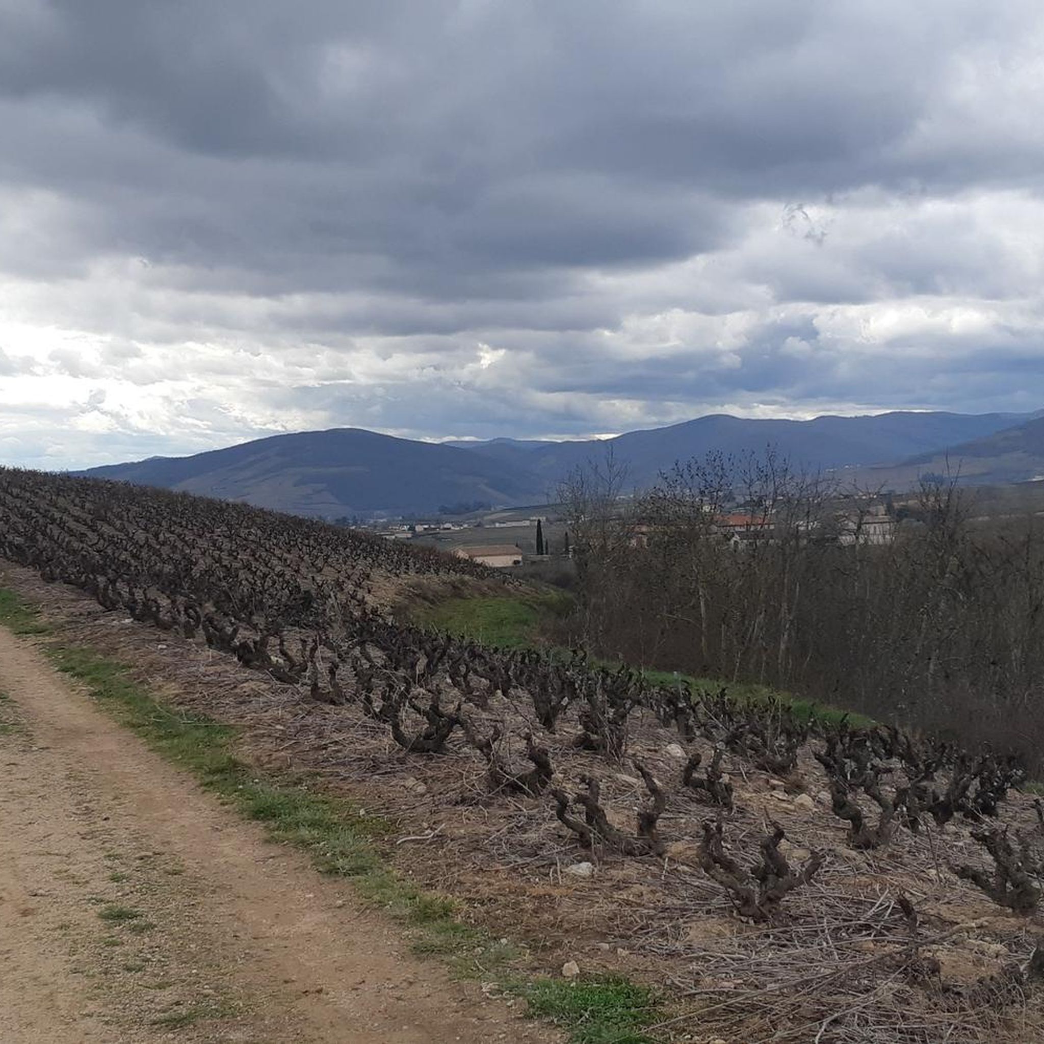
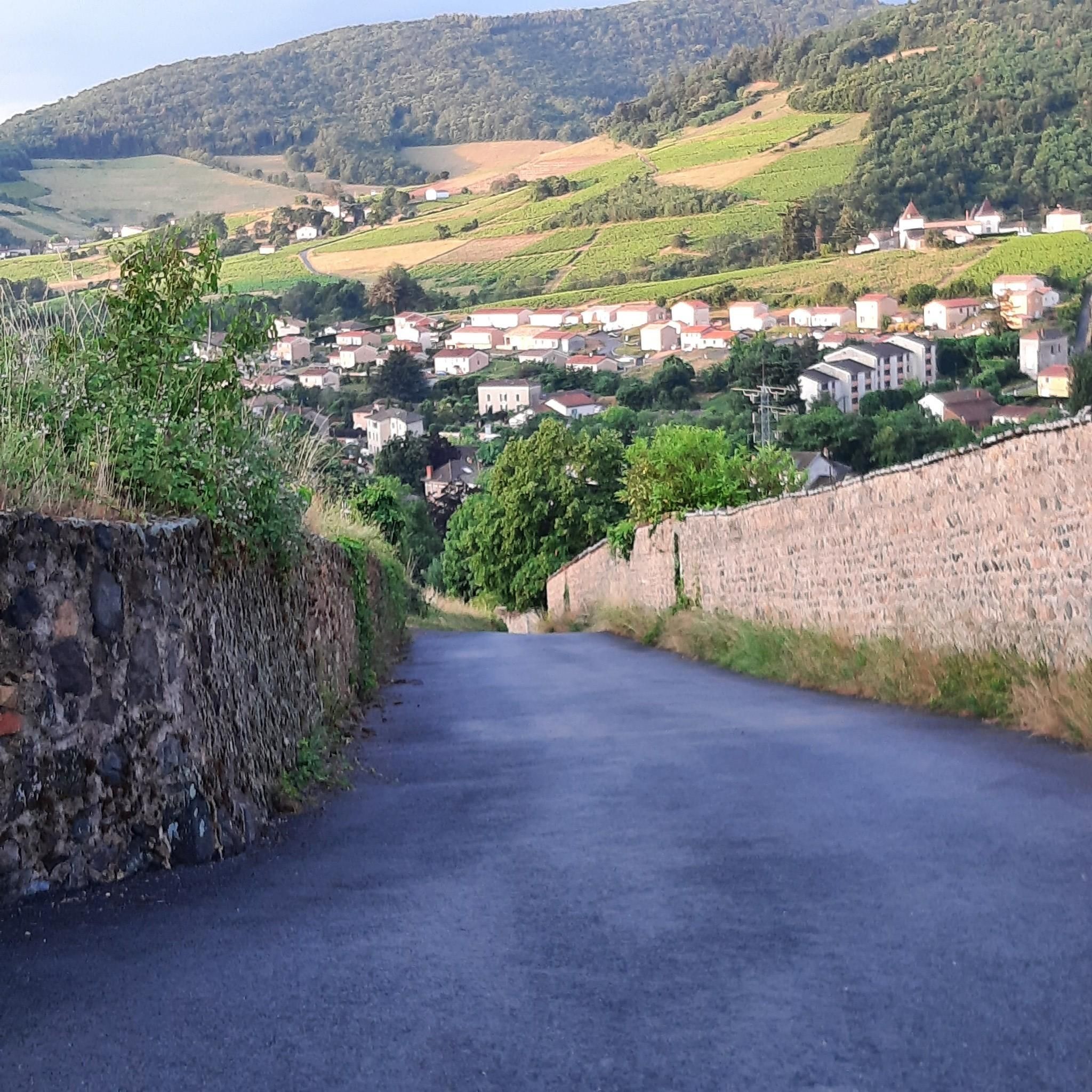
Jogging routes around Lantignié traverse a diverse landscape in the Beaujolais region, situated on the foothills of the Massif Central. The terrain features significant elevation changes, ranging from 270 meters to 842 meters, providing varied running experiences. Runners encounter vineyards, deciduous and coniferous forests, and the Ardières river valley. Panoramic views of Mont Saint Rigaud and distant Alpine massifs are accessible from higher elevations.
Best jogging routes around Lantignié
- The most popular jogging route is Col du Fût d'Avenas –…
Last updated: June 28, 2026
92
runners
28.1km
03:39
930m
930m
Hard run. Very good fitness required. Mostly paved surfaces. Suitable for all skill levels.
4.0
(2)
40
runners
19.1km
02:49
990m
990m
Hard run. Very good fitness required. Mostly paved surfaces. Suitable for all skill levels.

Sign up for free
4.0
(2)
34
runners
16.0km
02:04
510m
510m
Hard run. Very good fitness required. Mostly paved surfaces. Suitable for all skill levels.
31
runners
25.7km
03:26
950m
950m
Hard run. Very good fitness required. Sure-footedness, sturdy shoes and alpine experience required.
29
runners
20.8km
02:40
580m
580m
Hard run. Very good fitness required. Mostly paved surfaces. Suitable for all skill levels.
Get access to more routes and recommendations from other explorers.
Sign up for free
Already have an account?
Our route recommendations are based on thousands of hikes, rides, and runs completed by other people on komoot.
Start today with a free account
Your next adventure awaits.
Login or Signup

Tips from the Community

You have to be very lucky to see Mont Blanc from here, but the journey is the destination.
1
0

Since a cross crowning the summit is often found on mountains, the small sacred monument found here – consisting only of the crossbeams, without the body of the crucified Christ – should come as no surprise to bikers. From its prominent location, this Christian symbol of salvation is visible from afar. The builders of the "Croix de Rochefort" certainly also intended to invoke God's blessing on the surrounding land – and especially the people living there. An orientation panel located a little way off explains the landscape to the viewer.
0
0

An imposing 6-meter white cross erected in 1931, weighing 1,200 kg and visible from Beaujeu. A symbol of protection for the Beaujolais region, it bears witness to a remarkable logistical feat during its installation.
0
0
The highest point at 892 meters offers an exceptional panorama of Beaujolais. Accessible by several routes, it represents a sporting challenge rewarded by breathtaking views.
1
0

Very beautiful panoramic view with orientation table at an altitude of 888 meters
0
0

beautiful view of beaujolais
0
0
Frequently Asked Questions
How many running routes are available in Lantignié?
Lantignié offers a wide selection of running routes, with over 170 trails available. These routes cater to various fitness levels, ranging from easy paths to more challenging, difficult runs.
Are there easy running routes suitable for beginners in Lantignié?
Yes, while many routes in Lantignié feature significant elevation changes, there are a few easier options available. The region's varied terrain, including the Ardières river valley, can offer less strenuous paths. For specific easy routes, it's best to check komoot's detailed route descriptions.
What kind of terrain can I expect on jogging routes around Lantignié?
Jogging routes in Lantignié feature diverse terrain, from the gentle slopes of vineyards to the higher elevations of the Massif Central foothills. You'll encounter deciduous and coniferous forests, offering shaded paths, and potentially flatter sections along the Ardières river. The unique 'pierre bleue' and granitic soils also contribute to the character of the trails.
Are there any running routes suitable for families in Lantignié?
While many routes in Lantignié are rated as moderate to difficult due to elevation changes, families looking for less strenuous options might consider shorter, flatter sections, possibly along the Ardières river valley. The marked 'Circuits des Cadoles' also offer varying lengths, including a 6.5 km option, which could be suitable for active families.
Can I bring my dog on the running trails in Lantignié?
Generally, dogs are welcome on many outdoor trails in France, especially in natural areas like those around Lantignié. However, it's always advisable to keep your dog on a leash, especially in vineyard areas or near livestock, and to check specific route regulations if available. Always ensure your dog is well-behaved and that you clean up after them.
Are there circular running routes available in Lantignié?
Yes, many of the running routes in Lantignié are designed as loops, allowing you to start and finish at the same point. For example, the local 'Circuits des Cadoles' offer marked circular routes of 13.50 km, 11.50 km, and 6.50 km, all starting from the Church Square. Komoot also features numerous circular tours, such as the Rochefort Cross loop from Avenas.
What are some notable landmarks or viewpoints I can see while jogging in Lantignié?
While running in Lantignié, you can enjoy breathtaking panoramic views, including Mont Saint Rigaud, Mont Blanc, and various Alpine massifs from higher elevations. You might also encounter local heritage elements like 'cadoles' (dry-stone huts), washhouses, and crosses. Specific landmarks include the Rochefort Cross, Mont Brouilly, and the Rémont Mountain viewpoint.
Where can I find parking for the running trails in Lantignié?
Many running routes in Lantignié, especially those part of the 'Circuits des Cadoles', often start from central points like the Church Square, where parking may be available. For other trails, parking can typically be found near trailheads or in nearby villages. It's recommended to check the starting point details on individual komoot route pages for specific parking information.
What do other runners say about the trails in Lantignié?
The running routes in Lantignié are highly regarded by the komoot community, with an average rating of 4.2 stars from over 60 reviews. Runners often praise the diverse scenery, which includes vineyards and forests, as well as the challenging yet rewarding elevation changes and expansive views of the Beaujolais region and beyond.
Are there specific marked running circuits in Lantignié?
Yes, Lantignié offers specific marked walking/running circuits known as the 'Circuits des Cadoles'. These routes vary in length, including options of 13.50 km, 11.50 km, and 6.50 km, all conveniently starting from the Church Square. These circuits provide structured and well-defined options for exploring the area on foot.
What are the best times of year to go running in Lantignié?
Lantignié offers enjoyable running conditions throughout much of the year. Spring and autumn provide pleasant temperatures and beautiful scenery, with vineyards changing colors. Summer can be warm, but the deciduous and coniferous forests offer shaded paths. Winter running is also possible, though some higher elevation trails might require checking local conditions for ice or snow.
Are there any challenging running routes for experienced runners in Lantignié?
Absolutely. Lantignié is situated on the foothills of the Massif Central and features significant elevation changes, offering nearly 600 meters of vertical difference. Many routes are rated as difficult, providing substantial climbs and descents. Examples include the Col du Fût d'Avenas – Rochefort Cross loop from Avenas, a 28.1 km trail with over 900m of elevation gain, and the Col du Fût d'Avenas – Chiroubles Terrace loop from Avenas.
Most popular attractions around Lantignié

Get inspired with the komoot mobile app


Explore more
Browse the best Running Trails & Routes in other regions.
