The best walks and hikes around Tréglonou
4.6
(948)
5,267
hikers
11
hikes
Hiking around Tréglonou offers a diverse landscape characterized by the Aber-Benoît estuary, which features picturesque scenery and serves as an ornithological reserve. The region includes coastal paths along the famous GR34, also known as the "Sentier des Douaniers," and extends inland through wooded areas and varied countryside. Trails often traverse dense wooded sectors along the Aber-Benoît, providing a mix of marine and forested environments.
Best hiking trails around Tréglonou
- The most popular hiking route is Aber-Benoît loop from Tréglonou,…
Last updated: July 5, 2026
4.8
(13)
56
hikers
11.5km
03:02
100m
100m
Moderate hike. Good fitness required. Easily-accessible paths. Suitable for all skill levels.
4.7
(15)
55
hikers
11.4km
03:02
120m
120m
Moderate hike. Good fitness required. Easily-accessible paths. Suitable for all skill levels.

Sign up for free
4.7
(15)
63
hikers
10.7km
02:50
100m
100m
Moderate hike. Good fitness required. Easily-accessible paths. Suitable for all skill levels.
10
hikers
12.1km
03:14
140m
140m
Moderate hike. Good fitness required. Easily-accessible paths. Suitable for all skill levels.
4.6
(5)
8
hikers
5.20km
01:24
60m
60m
Easy hike. Great for any fitness level. Easily-accessible paths. Suitable for all skill levels.
Get access to more routes and recommendations from other explorers.
Sign up for free
Already have an account?
Our route recommendations are based on thousands of hikes, rides, and runs completed by other people on komoot.
Start today with a free account
Your next adventure awaits.
Login or Signup
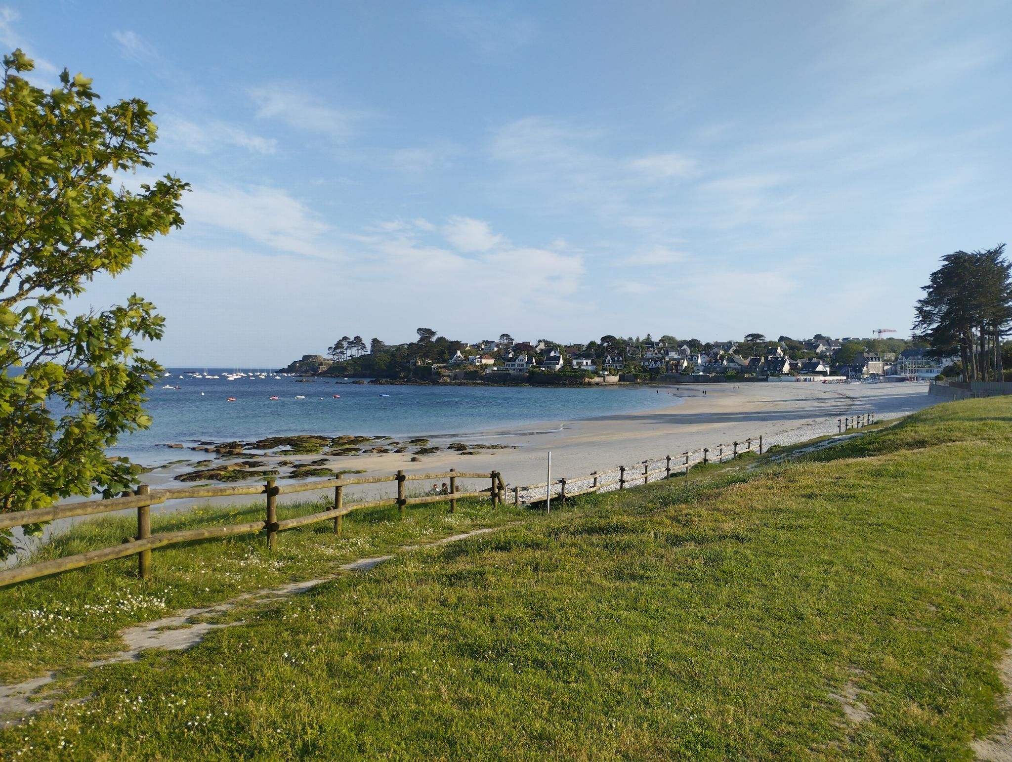
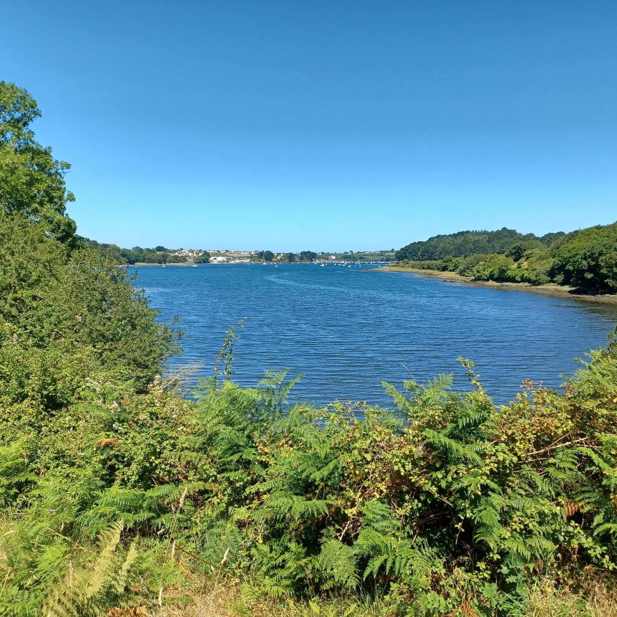
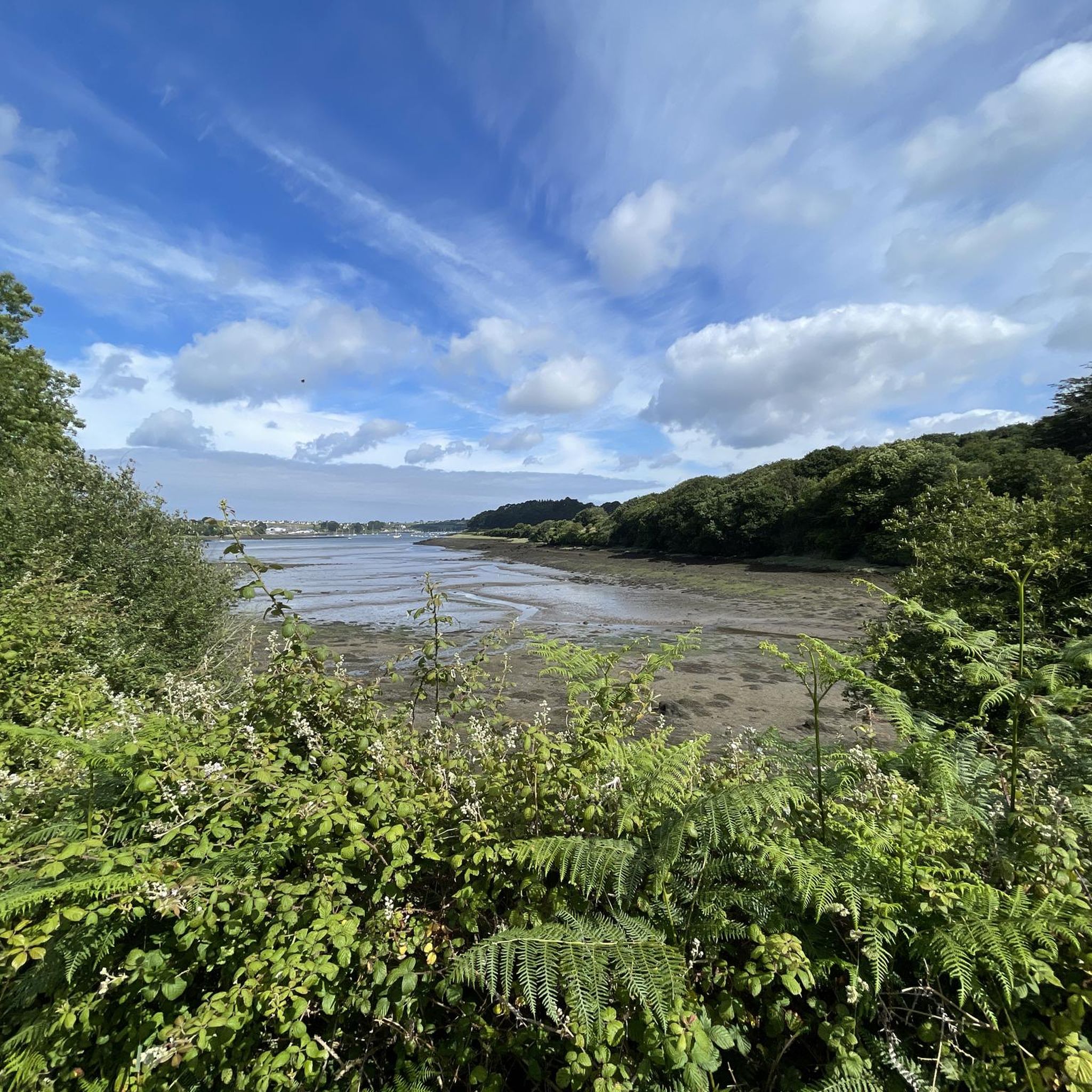
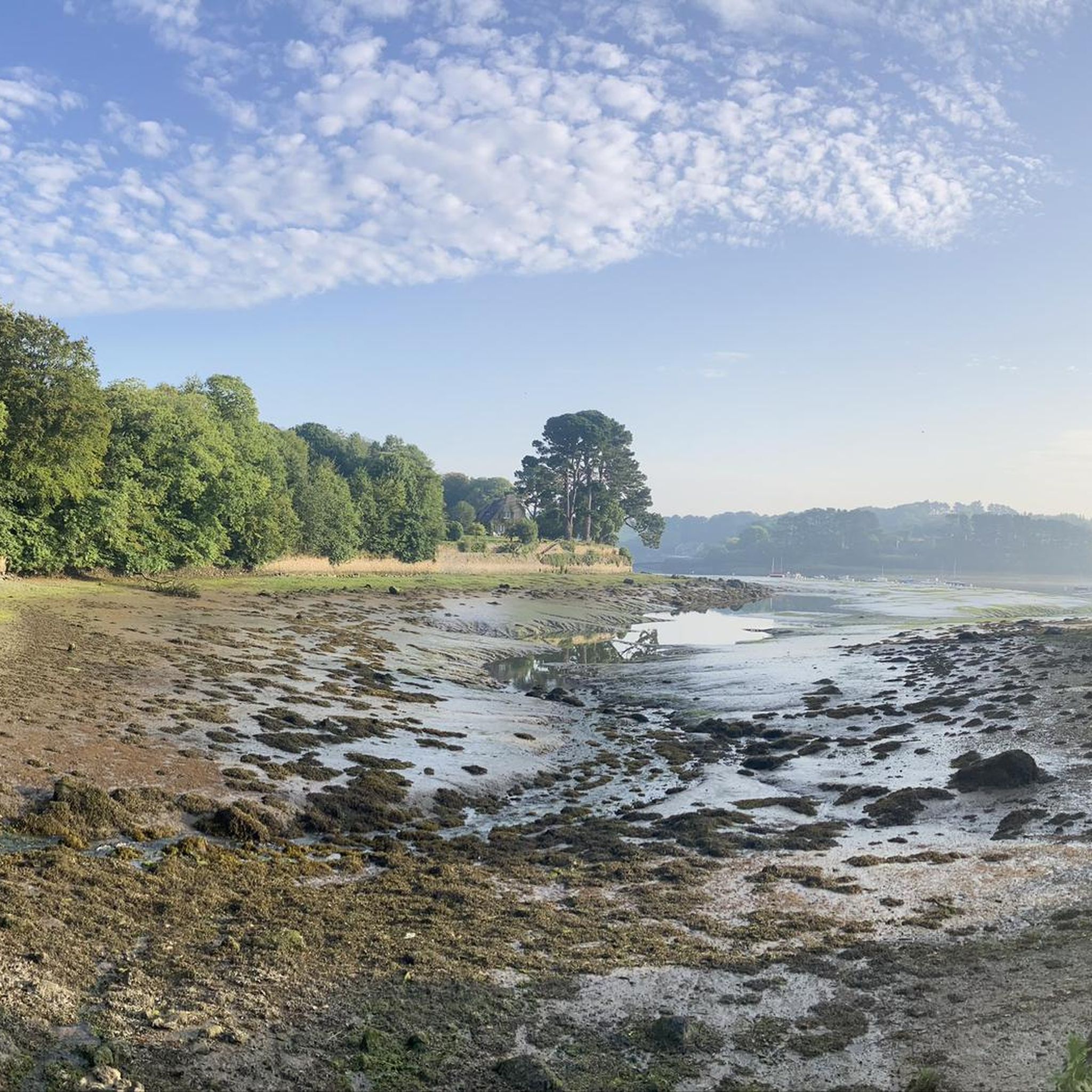

Other adventures around Tréglonou

Tips from the Community

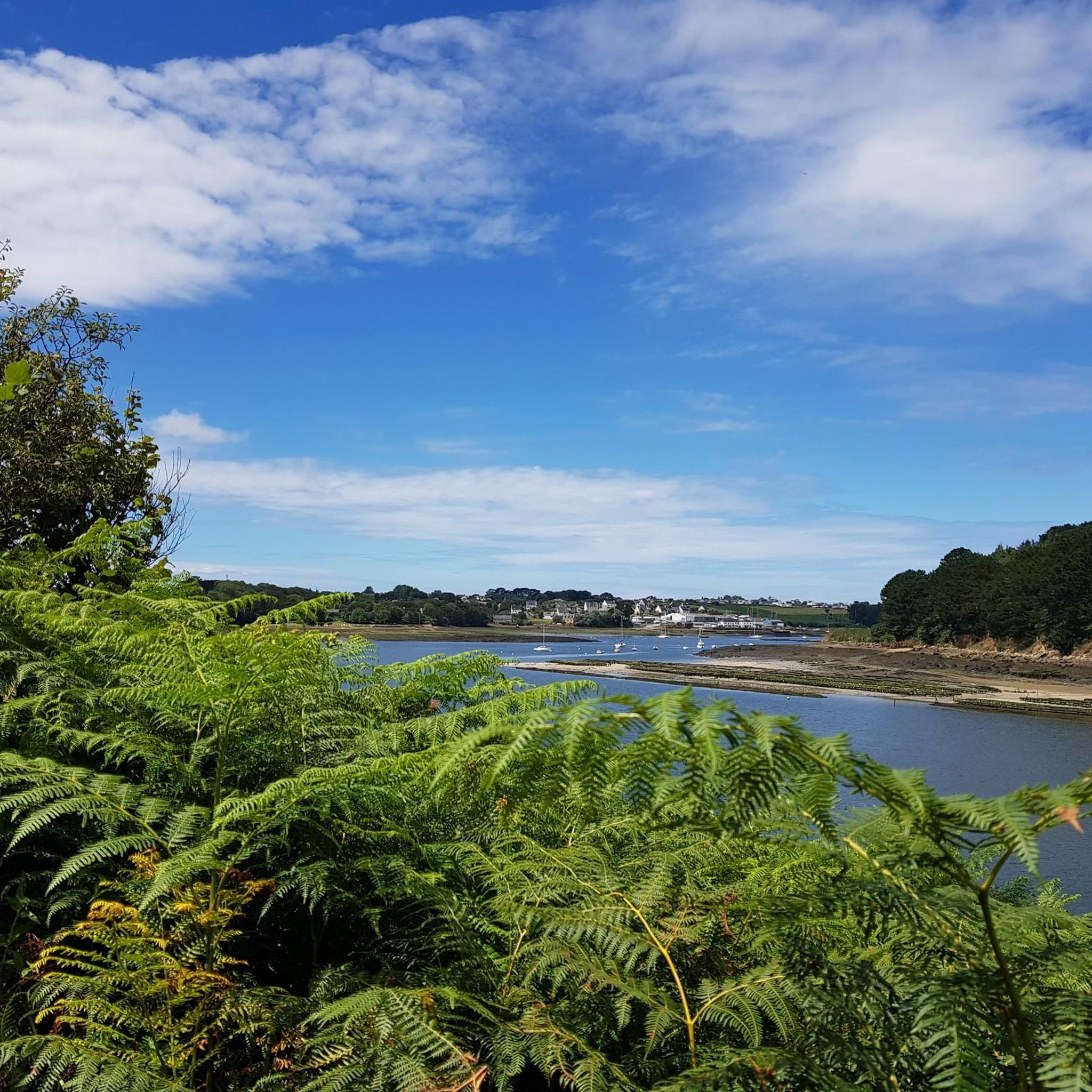
We arrived here in sunshine – a wonderful day! The colors and light are so unique – the pictures speak for themselves. L'Aber Benoit is truly special!
0
0
Picture-book ambience - the colors and the light bring the surroundings into a "sphere" of unreality.
0
0
an impressive size - this "Hinkelstein".
0
0

With its 6.50 meters height, the Lannoulouarn menhir does not go unnoticed. Bordering the small road, it marks the landscape and recalls the presence of an ancient archaeological site. Formerly, a series of five other megaliths stood.
3
0
Among the three abers in the Pays du Léon, the Aber Benoît is the second largest at 31 kilometers long. Navigable, you can see the sailboats as far as the port of Tudgibus. Fresh water mixing with sea water provides an environment conducive to the cultivation of oysters and mussels.
3
0

An “aber” in Breton means “ria” in French, meaning a narrow, elongated and relatively deep bay. Here, the aber-Benoît perfectly meets this definition. The site, particularly pretty, is crossed by a single Tréglonou bridge.
1
0

The Aber Benoît is the discreet little brother of the Aber Wrac’h. South of Lannilis and Landéda we discover here, from its narrower mouth, an arm of the sea which magnifies the river. Between green hillsides and agricultural land, it is good to walk there to slow down and savor the tranquility of the place all in glaz nuances (a typical Breton color which variegates the waters of the coast. It recalls the movement of the waves, the color of the sky, the interior of the abers in blue, green and gray tones).
0
0
This menhir is the only survivor of a group of five menhirs which were brought down by a quarryman around 1887. It is 6.50 meters high, 2.20 meters wide and 1.00 meters thick.
2
0
Frequently Asked Questions
How many hiking trails are available around Tréglonou?
There are 12 hiking trails around Tréglonou, offering a variety of experiences. These include 3 easy routes and 9 moderate excursions, ensuring options for different skill levels.
What kind of terrain can I expect on hikes in Tréglonou?
Hikes in Tréglonou feature a diverse landscape, blending coastal paths along the famous GR34 (Sentier des Douaniers) with inland routes through wooded areas and varied countryside. You'll encounter picturesque estuary views, dense forests, and open rural sections, often traversing the banks of the Aber-Benoît.
Are there any easy hiking options suitable for beginners or families in Tréglonou?
Yes, Tréglonou offers 3 easy hiking routes that are suitable for beginners or families. These trails provide a gentle introduction to the region's beauty without significant challenges, allowing everyone to enjoy the scenic estuaries and wooded areas.
Can I find circular hiking routes in Tréglonou?
Yes, many of the trails around Tréglonou are designed as circular routes. For example, the Aber-Benoît loop from Tréglonou and the Aber-Benoît – Loc Majean chapel loop from Tréglonou are popular circular options that allow you to start and end in the same location.
What natural features or landmarks can I see while hiking near Tréglonou?
While hiking near Tréglonou, you can explore the scenic Aber-Benoît estuary, known for its ornithological reserve and oyster beds. Notable landmarks include the Manoir de Tréglonou's kiosk and the Fisherman's House, which reconstructs past living spaces. You might also encounter highlights such as the View over the Aber Wrac'h or the Le Pont du Diable (Pont Crac'h).
Is Tréglonou a good destination for birdwatching during a hike?
Absolutely. The Aber-Benoît estuary, a central natural feature in Tréglonou, serves as an ornithological reserve. This makes it an excellent spot for birdwatching enthusiasts, especially along its picturesque banks and wooded areas.
Are dogs allowed on the hiking trails around Tréglonou?
Generally, dogs are welcome on many hiking trails in the Tréglonou area, especially on public paths. However, it's always recommended to keep them on a leash, especially in nature reserves like the Aber-Benoît estuary, to protect local wildlife and ensure a pleasant experience for all hikers.
What is the best time of year to go hiking in Tréglonou?
The best time to hike in Tréglonou is typically during the spring, summer, and early autumn months. During these seasons, the weather is generally milder and more predictable, making for comfortable conditions to explore both the coastal paths and inland trails. The region's natural beauty, including its flora and fauna, is also at its peak.
What do other hikers enjoy the most about hiking in Tréglonou?
The hiking routes in Tréglonou are highly rated by the komoot community, with an average score of 4.6 stars from over 900 reviews. Hikers often praise the diverse landscapes, including the stunning sea views along the GR34, the tranquil wooded sectors, and the picturesque Aber-Benoît estuary. The well-marked paths and variety of options for different skill levels are also frequently highlighted.
Are there any long-distance hiking opportunities from Tréglonou?
Yes, Tréglonou is situated along the famous GR34 Coastal Path, also known as the 'Sentier des Douaniers.' This long-distance trail traces the entire Brittany coastline, offering extensive hiking opportunities for those looking for multi-day excursions or longer sections of coastal walking.
Are there opportunities for oyster tasting after a hike in Tréglonou?
Yes, given the active oyster farming in the Aber-Benoît estuary, visitors have the opportunity to taste the local Belon des Abers oysters. These are known for their distinctive slightly nutty flavor and can be a delightful culinary experience after a day on the trails.
Is public transport available to access hiking trailheads in Tréglonou?
While Tréglonou is a charming village, public transport options directly to all trailheads might be limited. It's advisable to check local bus schedules if you plan to rely on public transport. Many hikers find it more convenient to access the trails by car, especially for routes starting directly from the village or nearby parking areas.
Most popular routes around Tréglonou
Most popular attractions around Tréglonou

Get inspired with the komoot mobile app


Explore more
Browse the best Hikes in other regions.
