The best running trails around La Tuilière
3.9
(31)
1,106
runners
100
runs
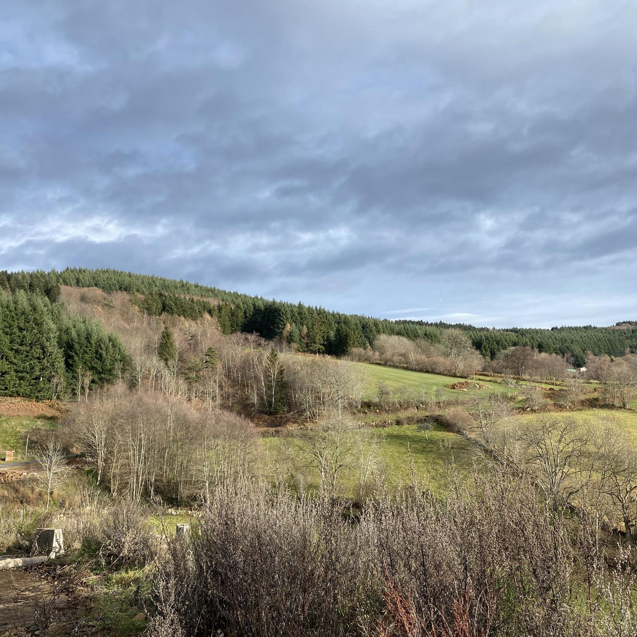
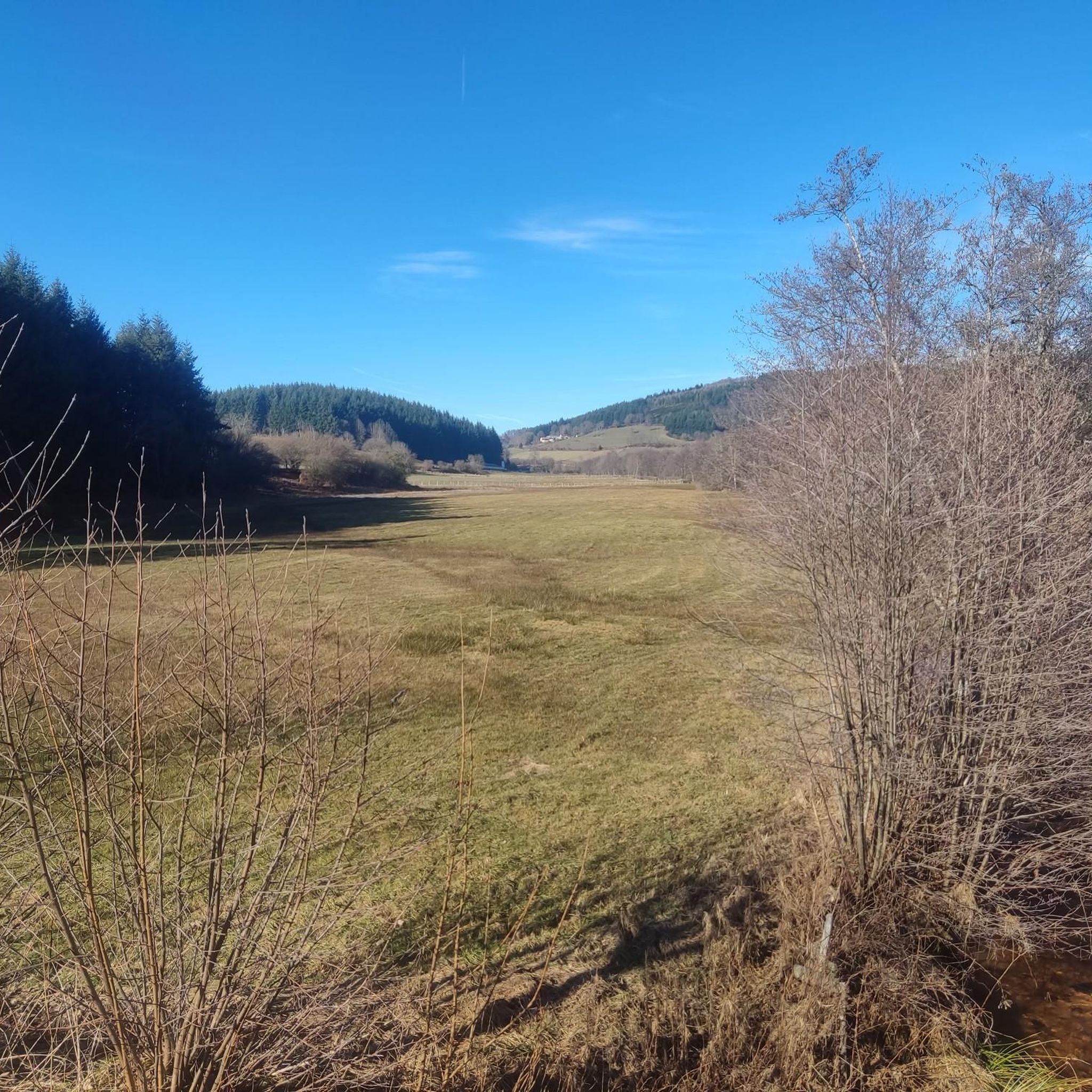
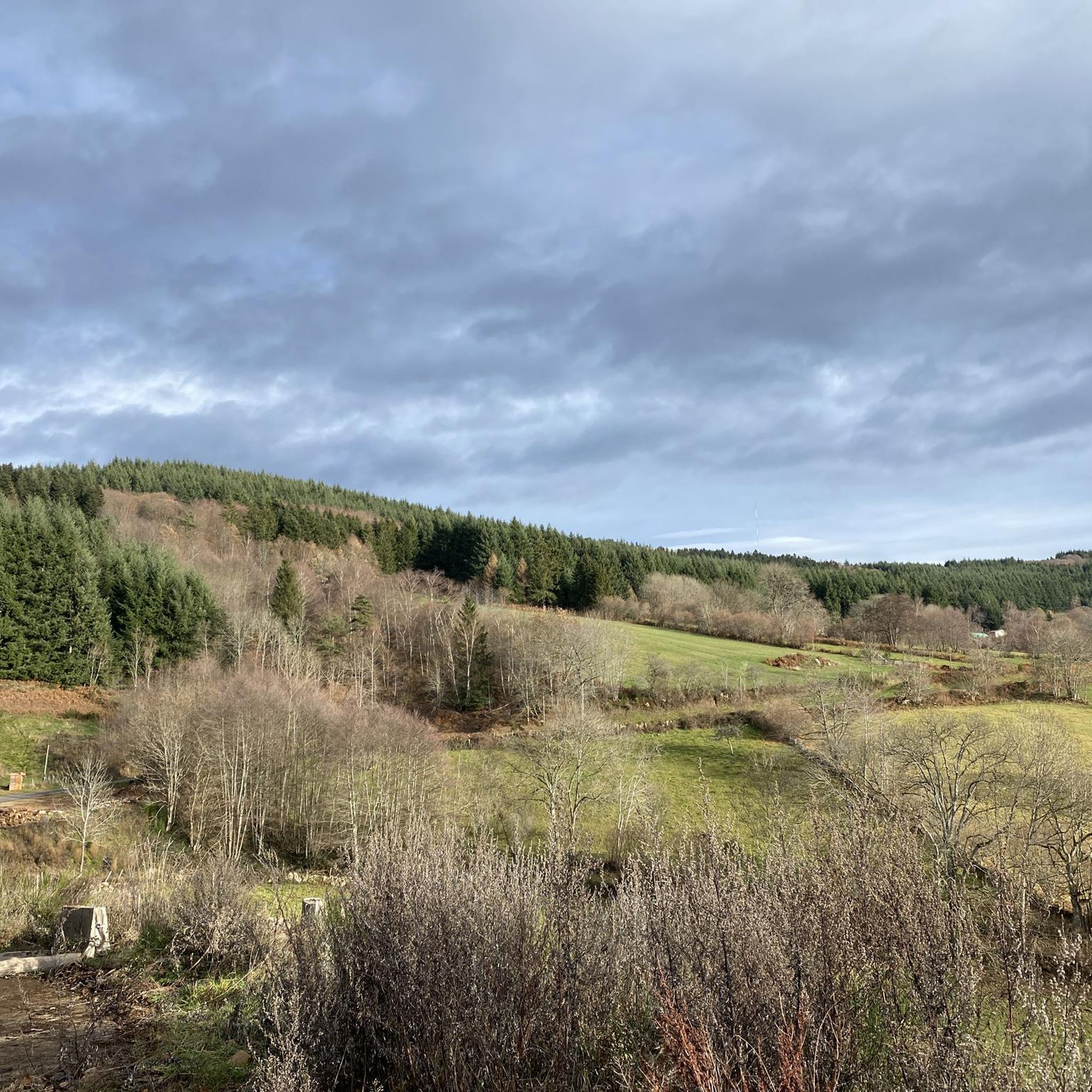
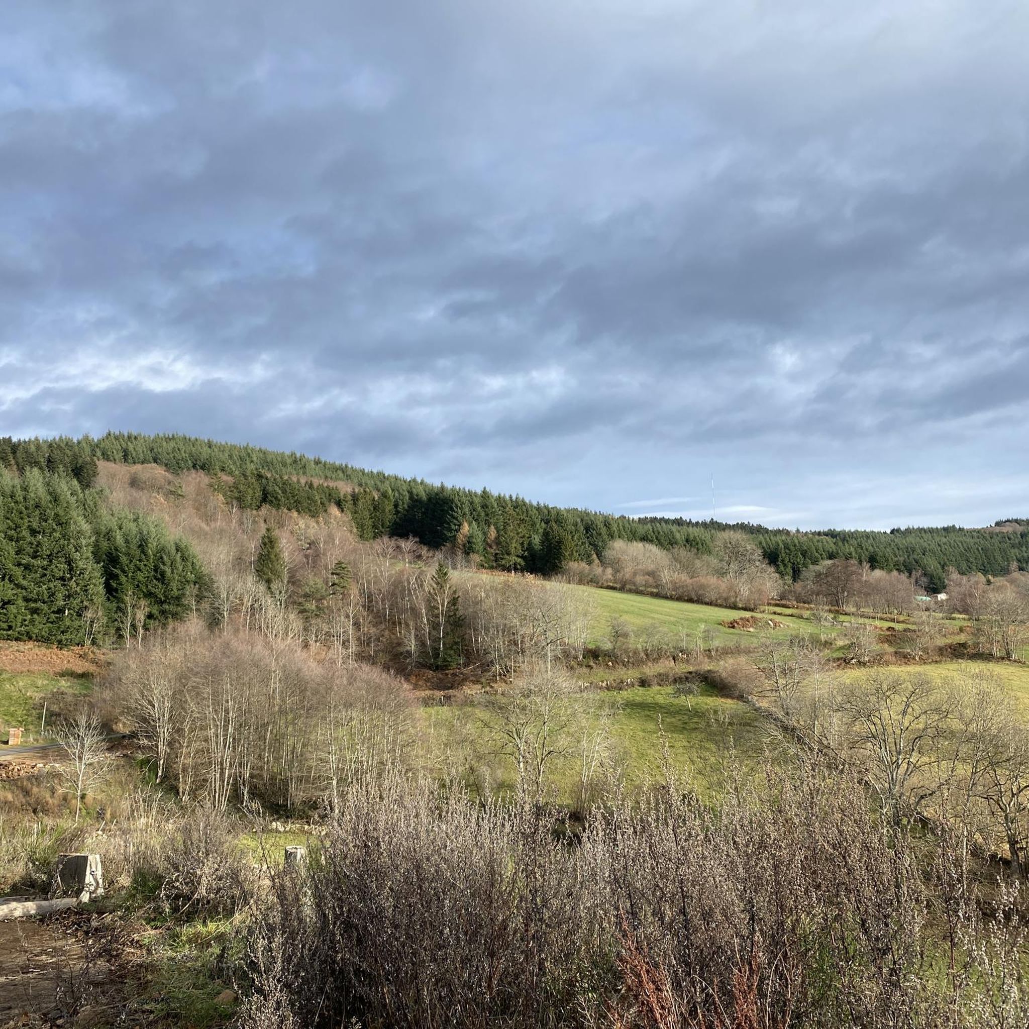
Jogging around La Tuilière offers diverse terrain within the Auvergne-Rhône-Alpes region, characterized by its location bordering the expansive Forêt des Bois Noirs. The area features varied topography, with elevations ranging from 644m to 1097m, providing options from relatively flat paths to challenging routes with significant elevation gains. Dense fir and beech forests offer tranquil environments for running, while water sources and peat bogs contribute to a diverse ecosystem.
Best jogging routes around La Tuilière
- The most popular jogging route is…
Last updated: July 1, 2026
35
runners
38.1km
04:52
1,230m
1,220m
Hard run. Very good fitness required. Sure-footedness, sturdy shoes and alpine experience required.
33
runners
46.6km
05:59
1,650m
1,640m
Hard run. Very good fitness required. Mostly paved surfaces. Suitable for all skill levels.

Sign up for free
5.0
(1)
8
runners
9.48km
01:03
200m
200m
Moderate run. Good fitness required. Mostly paved surfaces. Suitable for all skill levels.
7
runners
4.36km
00:28
80m
80m
Easy run. Great for any fitness level. Mostly paved surfaces. Suitable for all skill levels.
3
runners
Hard run. Very good fitness required. Mostly paved surfaces. Suitable for all skill levels.
Get access to more routes and recommendations from other explorers.
Sign up for free
Already have an account?
Our route recommendations are based on thousands of hikes, rides, and runs completed by other people on komoot.
Start today with a free account
Your next adventure awaits.
Login or Signup
Tips from the Community

A very nice and pleasant pass with several climbs more or less accessible depending on the level and distance. Each side offers its share of landscapes and small villages. If you want to climb it for the beauty of the landscapes, I recommend the ascent via Les Noës or via Charrier, and for those seeking a difficult climb, Charrier also serves as the hardest side.
1
0

A long, steady climb. Almost no cars, wide roads and beautiful surroundings! Hard to find a coffee or lunch place though.
0
0

The immense Bois Noirs forest offers several cycling and hiking trails for nature lovers.
0
0

As you walk along the track that runs through the forest towards the Saint-Vincent rock, the trees part for a moment to reveal the wind turbines.
0
0

Saint-Vincent Rock is an imposing volcanic rock that offers breathtaking views of the surrounding forests and valleys. It is a natural wonder that dates back millions of years, when lava erupted from a fissure. Later, the sea receded, and tectonic movement lifted the lava, creating the impressive rock that stands today. You can explore the ruins of an ancient castle that once crowned the rock and admire a statue of the Virgin and Child, called "Our Lady of Up There," installed in 2012.
0
0

The Glassworks Plateau is located at an altitude of 1,015 meters. It is a large open plateau in the Magdalen Mountains. The landscape is wild and relatively unspoiled.
0
0

What the runner walking quickly past encounters off the path are the modern heirs of the historic windmills, because centuries ago our ancestors were clever enough to harness the power of the elements for their own purposes. They used the wind captured in the blades to drive the heavy millstones, so that grain could be ground into flour, for example. While in the past, attention was paid to the architecture of each individual mill, this modern and unaesthetic variant - which is used to generate electricity - has simply been built en masse in the landscape. These wind farms, which are designed for efficiency, are not without controversy, because on the one hand, no consideration is given to the landscape when they are built, and above all, the slender blades become a death trap for birds.
1
0

One of the beautiful passes in the area. Little traffic
0
0
Frequently Asked Questions
How many running routes are available in La Tuilière?
La Tuilière offers a wide selection of jogging routes, with over 90 trails available for exploration. These routes cater to various fitness levels, from easy strolls to demanding trail runs.
What kind of terrain can I expect on jogging routes around La Tuilière?
The jogging routes around La Tuilière feature diverse terrain, ranging from easily accessible, relatively flat paths to more challenging routes with significant elevation gains. You'll primarily be running through dense fir and beech forests within the expansive Forêt des Bois Noirs, part of the Monts du Forez, with altitudes varying between 644m and 1097m.
Are there any easy running routes suitable for beginners or casual jogs?
Yes, La Tuilière offers easy running routes perfect for beginners or those looking for a more relaxed jog. One such option is the Le petit Alpes d'huez loop from Saint-Priest-la-Prugne, which covers about 4.4 km with minimal elevation.
Can I find circular jogging routes in the La Tuilière area?
Yes, many of the jogging routes in La Tuilière are designed as circular loops, allowing you to start and finish at the same point. Examples include the challenging Col de la Loge des Gardes – Col de la Rivière Noire loop from Col de la Loge des Gardes and the moderate Le petit Alpes d'huez – Stone Bridge loop from Saint-Priest-la-Prugne.
What natural features or viewpoints can I see while jogging?
Jogging in La Tuilière offers stunning natural features and panoramic viewpoints. From higher points within the Bois Noirs massif, such as Puy de Montoncel, you can enjoy splendid views of the distant Chaîne des Puys and Mont Blanc. Other notable features include the Saint-Vincent Rock, the tranquil Rouchain Dam Lake, and the dense Saint-Nicolas-des-Biefs Municipal Forest.
Is La Tuilière a good destination for jogging with dogs?
The tranquil and expansive natural environment of La Tuilière, particularly the Forêt des Bois Noirs, makes it a great place for jogging with dogs. The dense forests and varied paths provide plenty of space for your canine companion to enjoy the outdoors alongside you. Always ensure your dog is under control and check local regulations regarding leashes.
Are there family-friendly running trails in La Tuilière?
While specific 'family-friendly' designations aren't always explicit, the presence of easy and moderate routes suggests options suitable for families. Look for shorter, less challenging trails with minimal elevation gain, such as the Le petit Alpes d'huez loop from Saint-Priest-la-Prugne, which offers a manageable distance for a family outing.
What is the best time of year to go jogging in La Tuilière?
La Tuilière is beautiful for jogging year-round, but the autumn months are particularly spectacular. The foliage in the Forêt des Bois Noirs transforms into a 'flamboyant spectacle' of colors, offering a visually stunning experience. During warmer months, the forest canopy provides pleasant shade, making it comfortable for runs.
Where can I park when accessing jogging trails in La Tuilière?
Many jogging routes in La Tuilière start from well-known points like the Col de la Loge des Gardes or Saint-Priest-la-Prugne, where parking is typically available. For example, routes like the Col de la Loge des Gardes – Col de la Rivière Noire loop begin directly from the Col de la Loge des Gardes, which usually has designated parking areas.
How do other runners rate the jogging experience in La Tuilière?
The jogging routes in La Tuilière are highly rated by the komoot community, with an average score of 4.2 stars from over 20 reviews. More than 1000 runners have used komoot to explore the varied terrain, often praising the quiet woodlands, diverse elevation, and scenic viewpoints.
Are there any particularly challenging running routes for experienced trail runners?
Absolutely. For experienced trail runners seeking a challenge, La Tuilière offers several difficult routes. The Col de la Loge des Gardes – Saint-Vincent Rock loop from Col de la Loge des Gardes is a demanding 46.6 km path with significant elevation gain, providing an extensive forest running experience and panoramic views.
What makes the Forêt des Bois Noirs special for runners?
The Forêt des Bois Noirs is a significant draw for runners due to its dense fir and beech forests, which provide a refreshing and tranquil environment. The extensive woodlands offer clean air, a sense of calm, and pleasant shade during warmer months. Its diverse ecosystem, rich in water sources and supporting varied flora and fauna, adds to the immersive outdoor experience.
Can I combine my run with exploring nearby attractions?
Yes, the region around La Tuilière is rich in attractions that can complement your jogging experience. You can explore natural monuments like Puy de Montoncel or visit viewpoints such as Plateau de la Verrerie. The Col de la Loge des Gardes also serves as a popular starting point for many routes and is an attraction in itself.
Most popular attractions around La Tuilière

Get inspired with the komoot mobile app


Explore more
Browse the best Running Trails & Routes in other regions.
