The best road cycling routes around Merle-Leignec
4.6
(39)
961
riders
101
rides
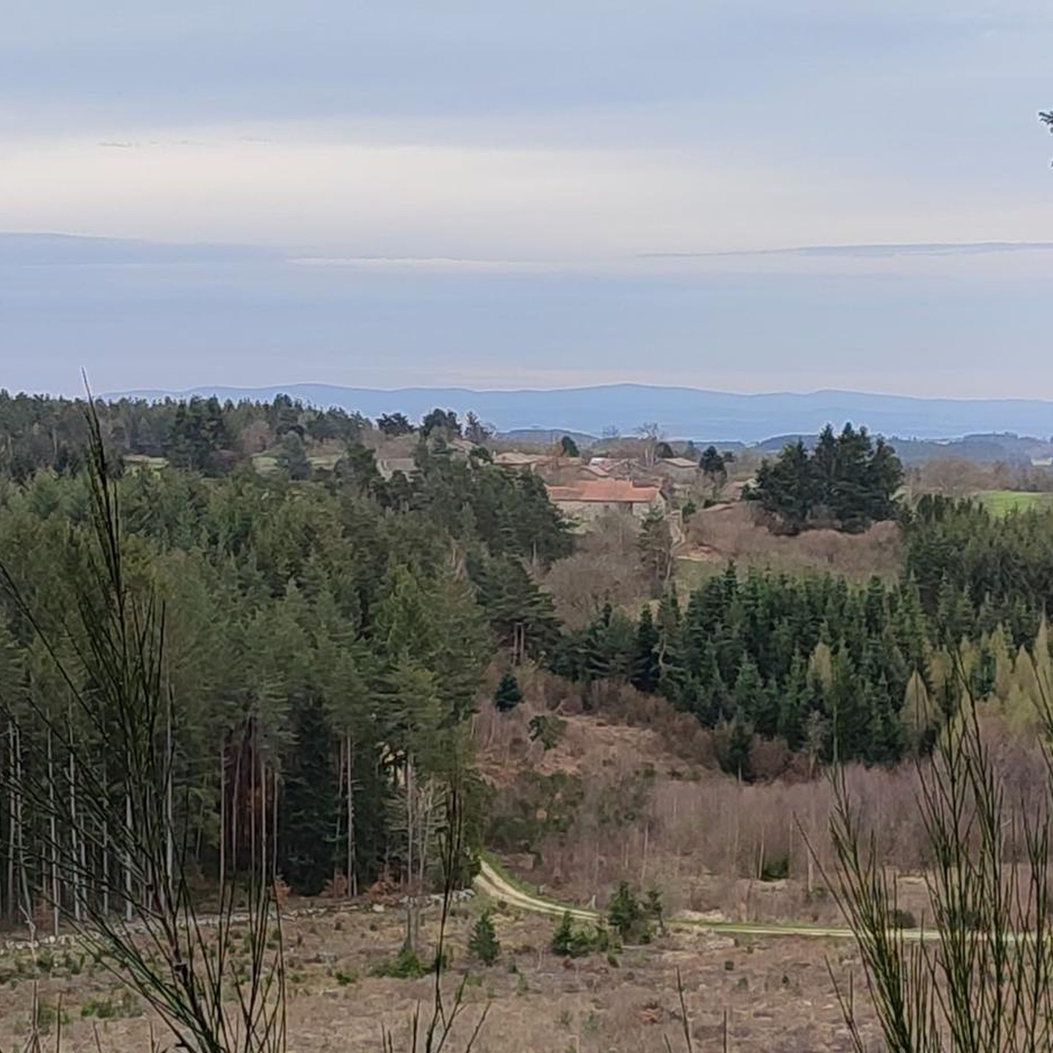
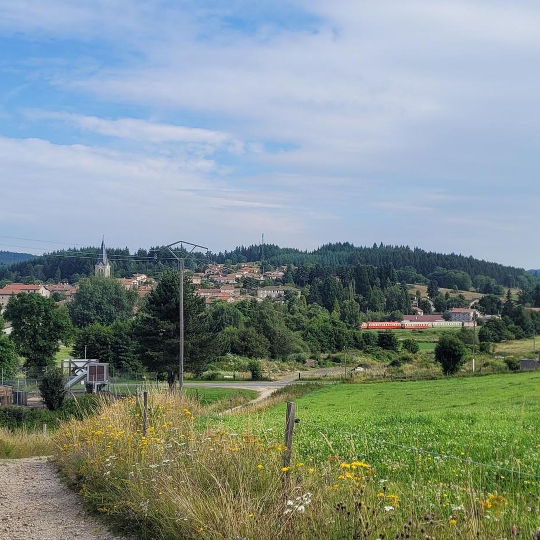
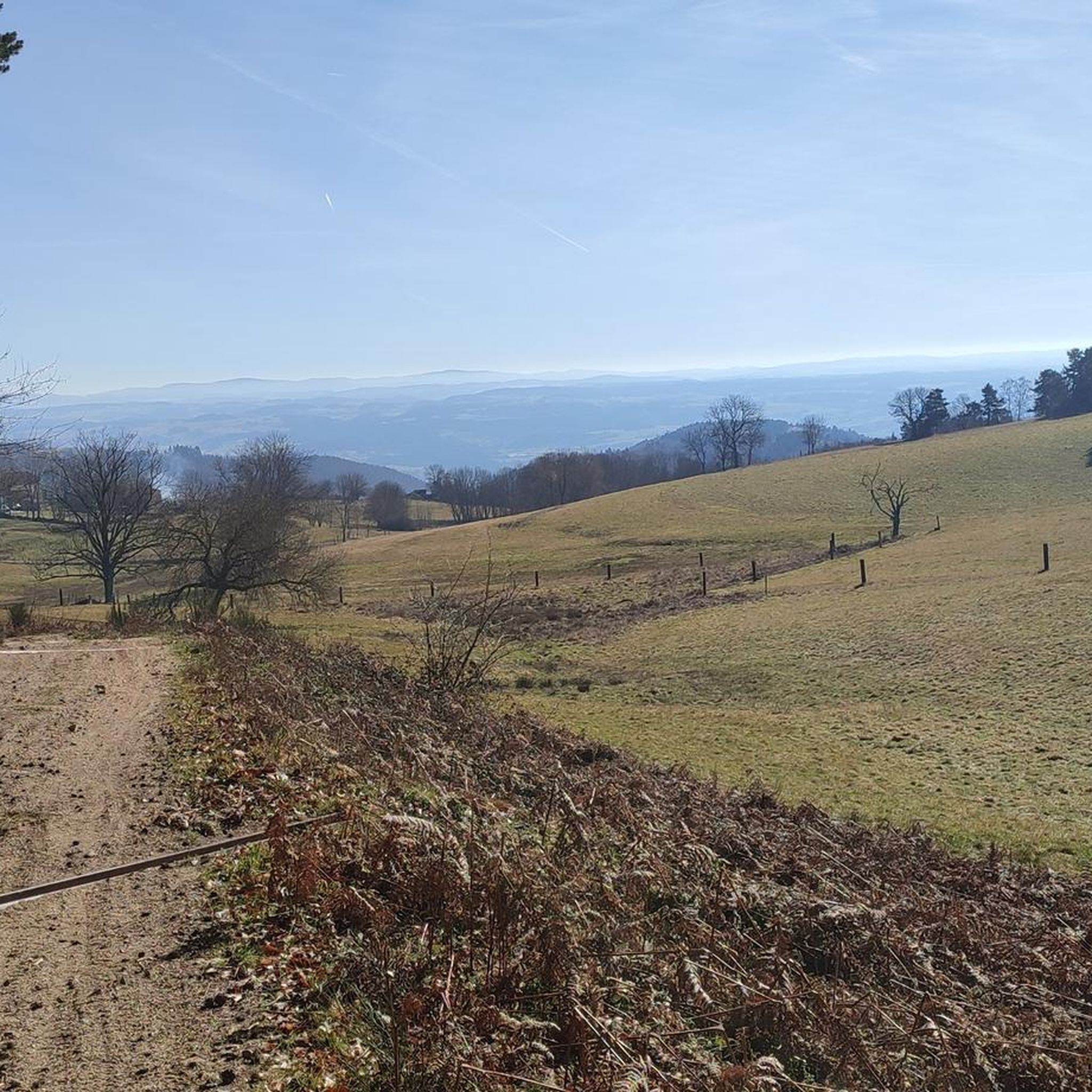
Road cycling around Merle-Leignec, situated in the Monts du Forez region of the Massif Central, offers varied topography for cyclists. The commune features an altitude range from 660 meters to 994 meters, indicating a hilly to mountainous terrain with challenging ascents and descents. The landscape is characterized by extensive forests, open prairies, and the valleys carved by the Andrable and Bezan rivers. This environment provides a network of roads suitable for road cycling, often with less traffic.
Best road cycling…
Last updated: July 15, 2026
5.0
(2)
96
riders
66.1km
03:19
1,000m
1,000m
Hard road ride. Very good fitness required. Mostly well-paved surfaces and easy to ride.
3.0
(1)
10
riders
55.8km
02:39
760m
760m
Moderate road ride. Good fitness required. Mostly well-paved surfaces and easy to ride.

Sign up for free
17
riders
42.8km
02:04
590m
600m
Moderate road ride. Good fitness required. Mostly well-paved surfaces and easy to ride.
31
riders
70.8km
03:30
1,090m
1,090m
Hard road ride. Very good fitness required. Mostly well-paved surfaces and easy to ride.
8
riders
71.3km
03:29
1,040m
1,040m
Hard road ride. Very good fitness required. Some segments of this route may be unpaved and difficult to ride.
Get access to more routes and recommendations from other explorers.
Sign up for free
Already have an account?
Our route recommendations are based on thousands of hikes, rides, and runs completed by other people on komoot.
Start today with a free account
Your next adventure awaits.
Login or Signup


Tips from the Community


Magnificent village promoting artists and artisans... a super nice café: La Pause Marolaise
0
0


Church in the middle of Usson-en-Forez
0
0

Old medieval castle now in ruins. With its enclosure surrounding a stone keep located at the top of a mound, it is an imposing vestige of a feudal past.
0
0

Magnificent view of the Loire
0
0

Estivareilles is a pretty little town located on the paths to Compostela as well as on the GR 3. Its town is home to a handful of shops to keep you supplied. For a few dollars, the town hall provided a place to spend the night.
0
0
Frequently Asked Questions
What kind of terrain can I expect when road cycling around Merle-Leignec?
Merle-Leignec, nestled in the Monts du Forez region, offers a diverse and challenging terrain for road cyclists. You can expect a hilly to mountainous landscape with altitudes ranging from 660 meters to 994 meters. This means routes feature both rewarding ascents and descents, winding through extensive forests, open prairies, and valleys carved by the Andrable and Bezan rivers.
Are there road cycling routes suitable for beginners in Merle-Leignec?
While many routes around Merle-Leignec feature significant elevation changes, there are options for various ability levels. The komoot community has identified 3 easy routes and 48 moderate routes, providing less strenuous options for those new to road cycling or looking for a more relaxed ride. These routes still allow you to enjoy the region's natural beauty without overly challenging climbs.
What are some notable landmarks or points of interest I might encounter on a road cycling route?
Road cycling routes around Merle-Leignec offer a blend of natural beauty and historical sites. You might pass through the medieval village of Leignec with its ramparts and church, or discover the Saint-Roch Chapel. Natural features include the village's lake and the scenic Saut du Bezan. Other points of interest include the historic settlements of Montarcher, Marols, and St Bonnet-le-Château, which are often part of popular routes.
What is the best time of year for road cycling in Merle-Leignec?
Given the hilly to mountainous terrain of Merle-Leignec, the spring, summer, and early autumn months generally offer the most favorable conditions for road cycling. During these seasons, you can expect milder temperatures and less chance of adverse weather, making the ascents and descents more enjoyable. Winter can bring colder temperatures and potentially challenging road conditions at higher elevations.
Are there any long-distance road cycling routes or loops available?
Yes, Merle-Leignec offers several longer loop routes for road cyclists. For example, the Côte de Saint-Maurice – Loire Bridge loop from Les Barraques is a 65.9 km (41.0 miles) route, and the Côte de Saint-Maurice – Hill climb alongside the Loire loop from Les Barraques stretches for 70.8 km (44.0 miles). These routes provide sustained cycling experiences with varied scenery and elevation.
What do other road cyclists say about the routes in Merle-Leignec?
The road cycling routes in Merle-Leignec are highly regarded by the komoot community, holding an average rating of 4.5 stars from over 20 reviews. More than 800 road cyclists have explored the area using komoot, often praising the varied terrain, the quiet roads, and the picturesque views encountered along the way.
Are there options for advanced road cyclists seeking a challenge?
Absolutely. Merle-Leignec is well-suited for advanced road cyclists, with 42 routes classified as difficult. These routes feature significant elevation gains and challenging climbs, such as the Marols Village loop from Estivareilles, which covers 71.1 km with over 1000 meters of ascent. The region's topography ensures a demanding and rewarding experience for experienced riders.
Can I find places to eat or stay near the cycling routes?
While Merle-Leignec is a rural area, you can find local establishments. The fan-out queries suggest that places like Auberge de Leignecq might offer accommodation and food. Additionally, nearby villages and towns along the routes may have cafes or restaurants where cyclists can refuel and rest.
Are the road cycling routes generally low-traffic?
The rural character and dispersed habitation of Merle-Leignec contribute to generally less traffic on its roads, making for a more enjoyable and safer cycling experience. The network of roads traversing forests and prairies often provides quiet stretches, allowing cyclists to immerse themselves in the natural surroundings.
Are there any waterfalls to see while cycling in the area?
Yes, the region around Merle-Leignec features natural attractions. You might be able to visit the Creux de l'Oulette Waterfall, which is listed as a highlight in the vicinity. While not directly on every road cycling route, it's an interesting natural feature to be aware of in the broader area.
What is the total number of road cycling routes available around Merle-Leignec?
There are over 90 road cycling routes available around Merle-Leignec, offering a wide variety of distances, difficulties, and scenic experiences for cyclists of all levels.
Most popular routes around Merle-Leignec
Most popular attractions around Merle-Leignec

Get inspired with the komoot mobile app


Explore more
Browse the best Road cycling routes in other regions.
