The best walks and hikes around Plougonvelin
4.6
(369)
2,771
hikers
63
hikes
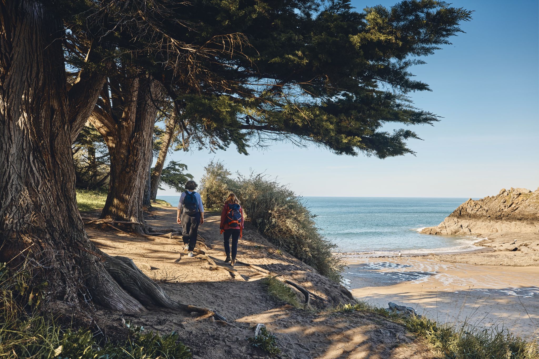
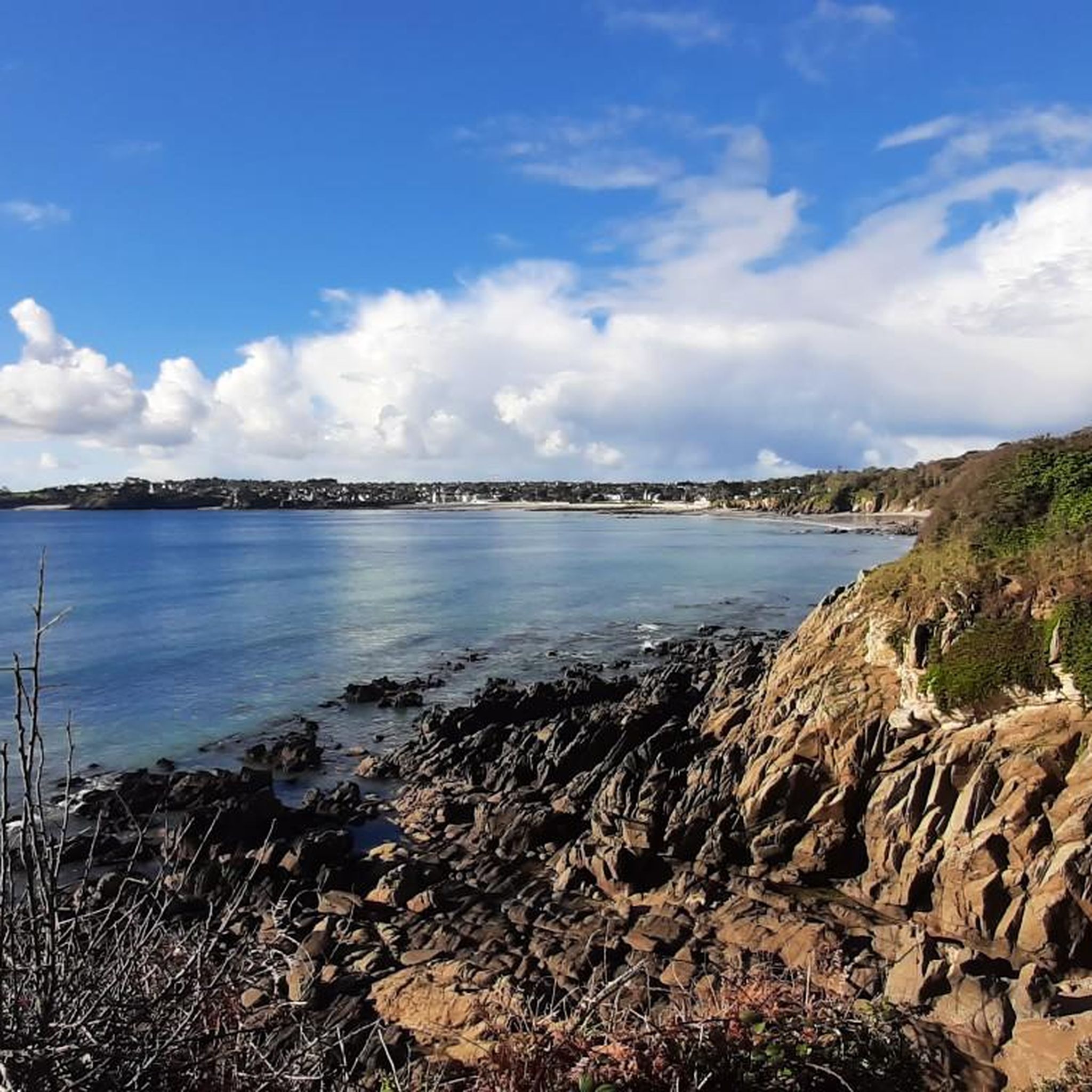
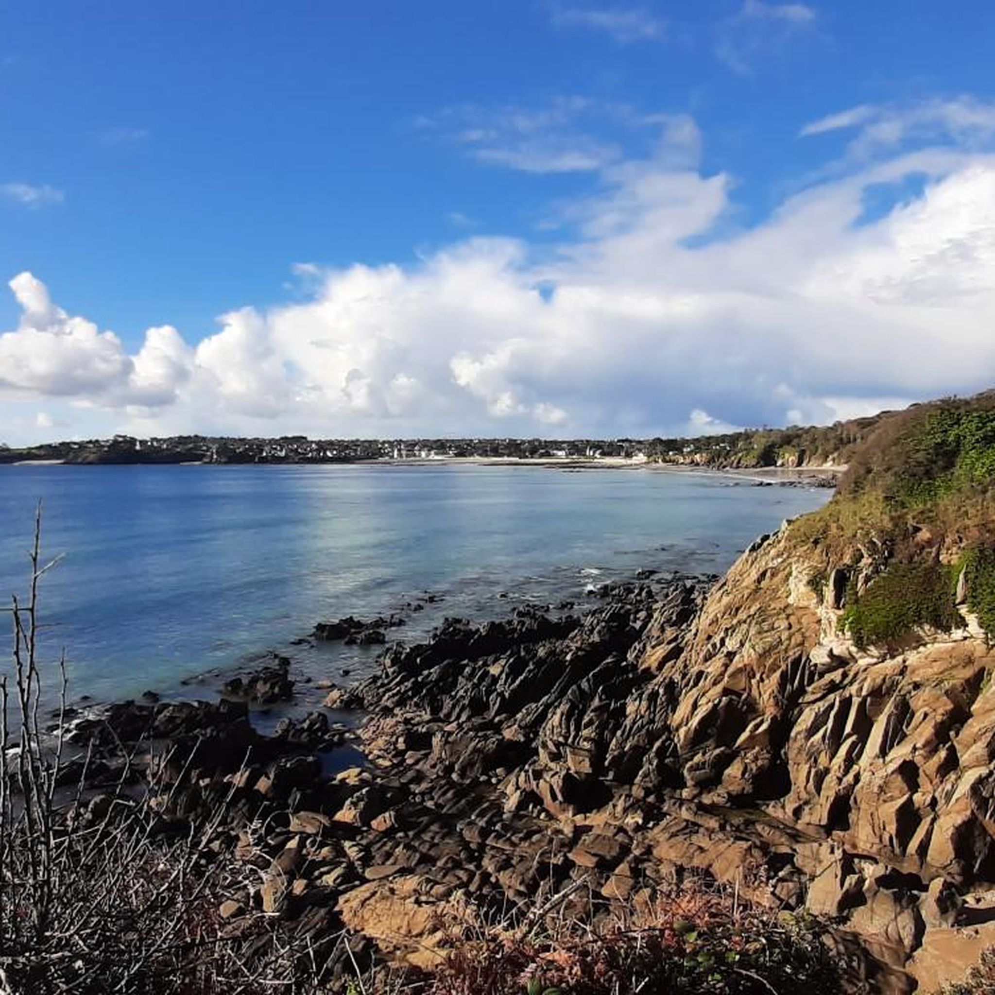
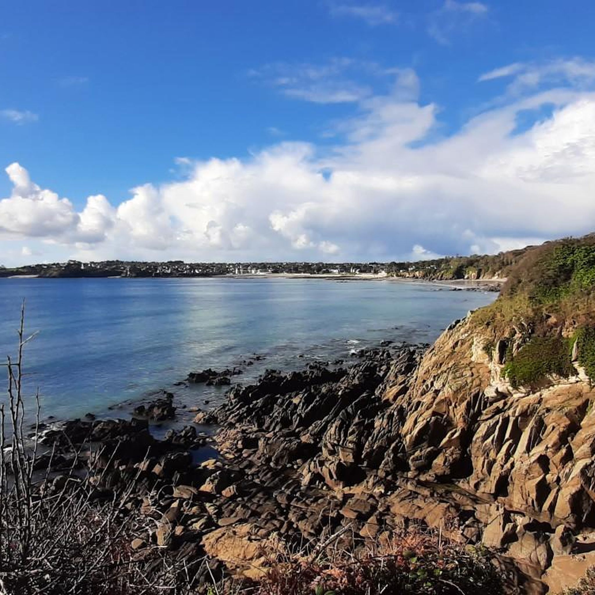
Hiking around Plougonvelin offers a diverse landscape characterized by rugged shorelines, steep cliffs, and pristine white sand beaches along the Iroise Sea. The region is situated on the Brittany coast, providing panoramic views of scattered islands and dramatic coastal features. Trails often traverse areas rich in biodiversity, including parts of the wider Armorique Natural Park, and feature heather and gorse. The renowned GR 34 coastal path also runs through the area, connecting various points of interest.
Best hiking trails in…
Last updated: October 12, 2026
4.7
(47)
221
hikers
12.0km
03:10
100m
100m
Moderate hike. Good fitness required. Easily-accessible paths. Suitable for all skill levels.
4.5
(23)
203
hikers
9.45km
02:33
120m
120m
Moderate hike. Good fitness required. Easily-accessible paths. Suitable for all skill levels.

4.6
(17)
186
hikers
Easy hike. Great for any fitness level. Easily-accessible paths. Suitable for all skill levels.
4.8
(11)
105
hikers
Easy hike. Great for any fitness level. Easily-accessible paths. Suitable for all skill levels.
4.9
(28)
149
hikers
Moderate hike. Good fitness required. Easily-accessible paths. Suitable for all skill levels.
Get access to more routes and recommendations from other explorers.
Already have an account?
Our route recommendations are based on thousands of hikes, rides, and runs completed by other people on komoot.
Start today with a free account
Your next adventure awaits.
Popular around Plougonvelin



Tips from the Community

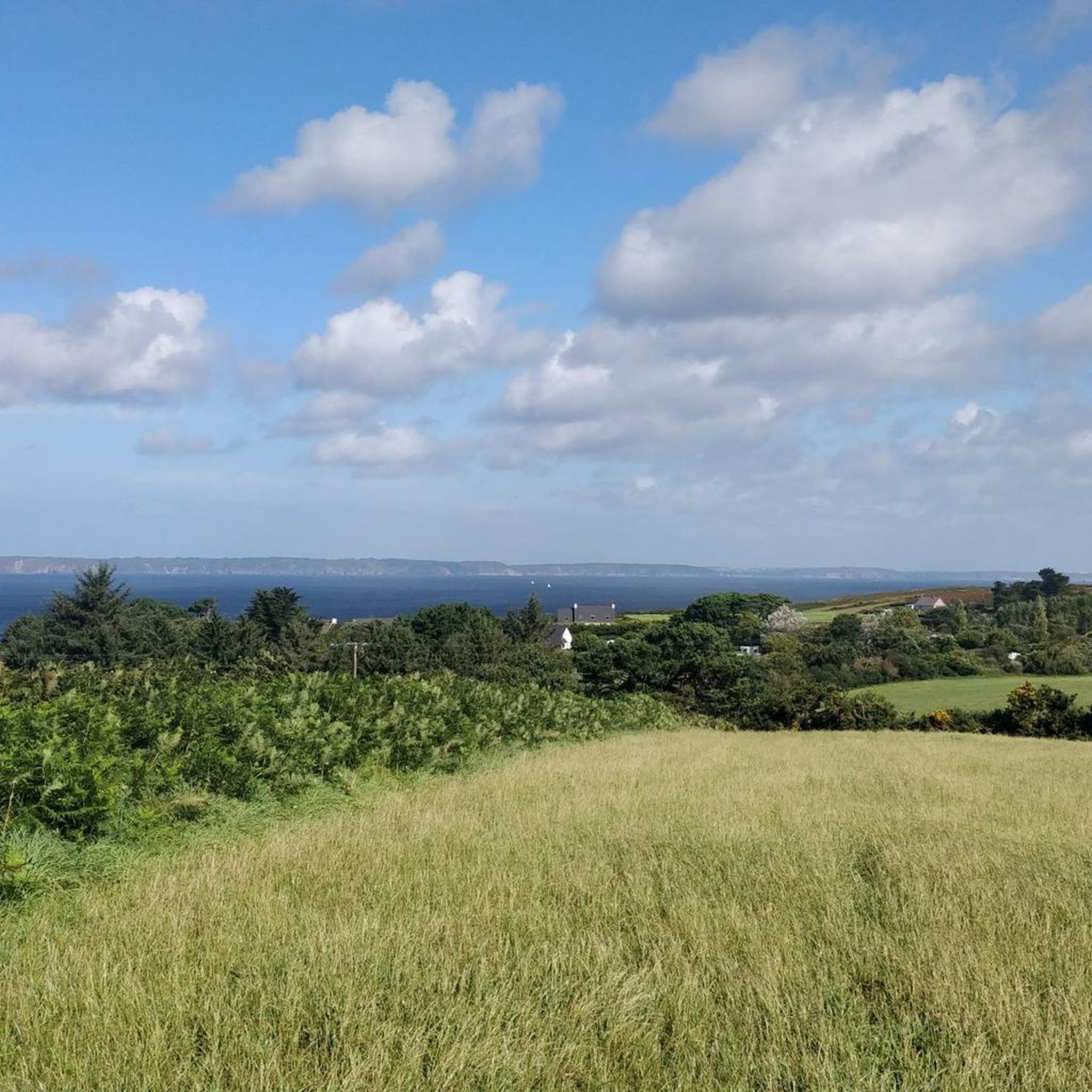
Great view on the Atlantic with spectacular effects of the sunlight.
0
0


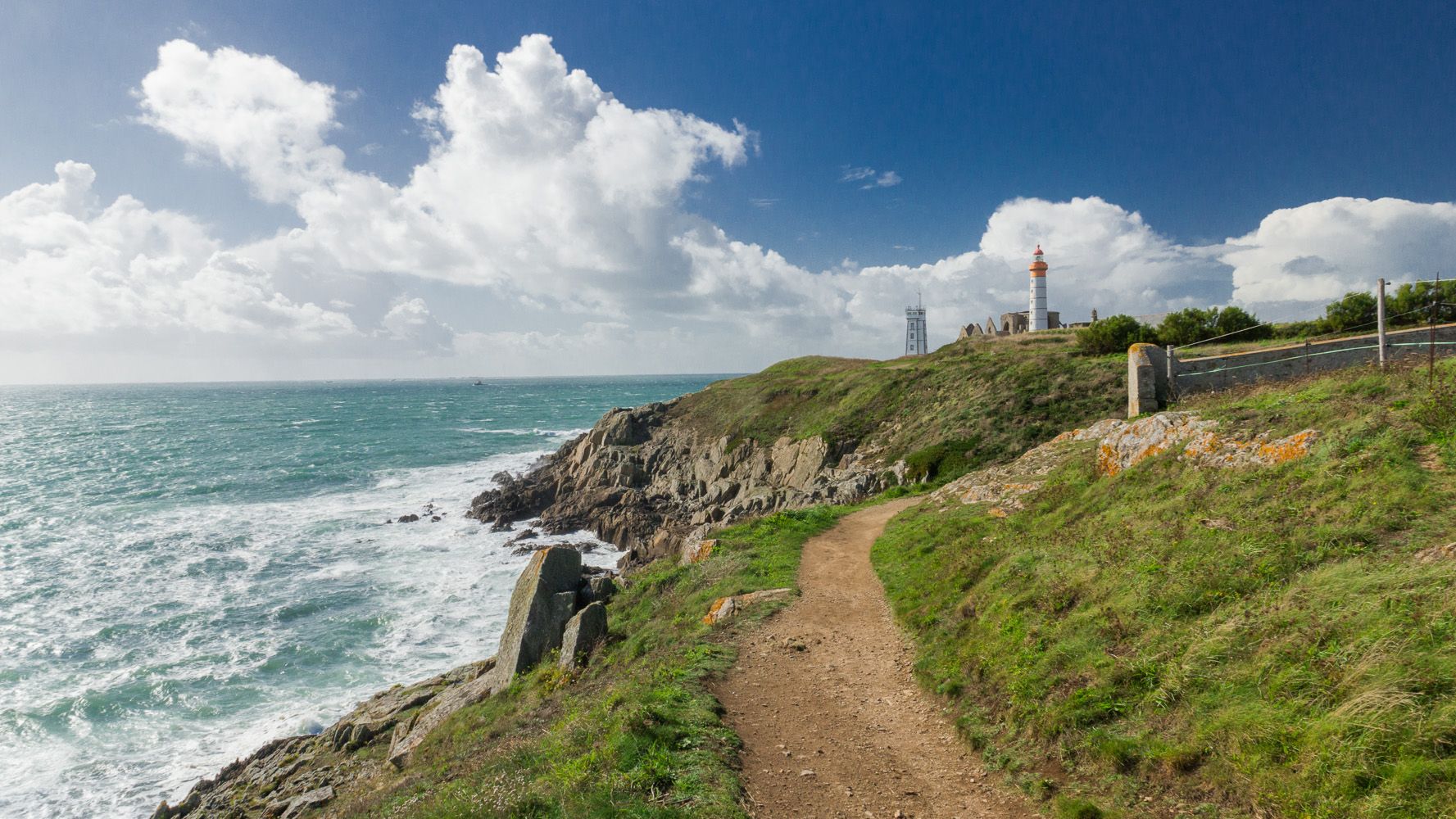
Phare de Saint-Mathieu is the name of a lighthouse in the village of Saint-Mathieu on the Saint-Mathieu Point in Plougonvelin in the Finistère department. It was built on the site of the former Saint-Mathieu Abbey. Its theoretical range is 29 nautical miles, which is approximately 55 kilometers. Together with the Kermorvan lighthouse, it indicates the Passage du Four (Chenal du Four), an important north-south passage from or to the Iroise Sea, which runs between the mainland and the island of Ouessant, thus saving about two days of travel time. In conjunction with the Portzic lighthouse, it illuminates the entrance to the Bay of Brest. The lighthouse has been listed as a French Historic Monument since May 23, 2011. It is open to the public. Just west of the lighthouse is the Sémaphore de la Pointe Saint-Mathieu.
1
0
A sign says: everyone travels at the same speed here. So cycling is allowed, but at walking pace.
1
0

practical footbridge over the harbor allowing you to reach Le Conquet
0
0

Ideal for a break, for swimming or just for "wet" feet
0
1


At low tide, the Ria du Conquet is a vast area of halophilic plants (plants that do not hate sea water) such as saltwort. The Ria Conquet is crossed by a multitude of small channels that meander between compact masses of plants. At high tide, all of this flora disappears underwater, forming a large inlet in the back harbor. Source: https://image.ifremer.fr/data/00702/81429/
0
0
Frequently Asked Questions
How many hiking trails are available around Plougonvelin?
There are over 60 hiking routes around Plougonvelin, offering a wide variety of options for different skill levels and preferences. The komoot community has explored these trails over 2000 times.
What kind of terrain can I expect on hikes in Plougonvelin?
Hikes in Plougonvelin feature a diverse landscape, primarily characterized by rugged shorelines, steep cliffs, and pristine white sand beaches along the Iroise Sea. You'll often find trails fringed with heather and colorful gorse, especially along the dramatic coastline. Some routes also traverse areas rich in biodiversity within the wider Armorique Natural Park.
Are there easy hiking options suitable for beginners in Plougonvelin?
Yes, Plougonvelin offers many easy hiking options. Out of the 68 available routes, 49 are classified as easy, making them perfect for beginners or those looking for a relaxed stroll. An example is the Saint-Mathieu Lighthouse – Notre-Dame-des-Grâces Chapel loop from Pointe Saint-Mathieu, which is 2.3 miles (3.6 km) long and typically takes about 1 hour.
What natural features and landmarks can I see while hiking near Plougonvelin?
The region is rich in natural beauty and landmarks. You can encounter breathtaking coastal views, rugged shorelines, and pristine beaches like Anse de Pen Hat. Notable natural features include Corsen Point, The Lion Rock, and Pointe du Grand Gouin. The trails often pass through areas with heather and gorse, and offer views of scattered islands in the Iroise Sea.
Are there any historical sites to explore on the trails?
Absolutely. Many trails incorporate historical sites. The iconic Pointe Saint-Mathieu loop takes you past the historic Pointe Saint-Mathieu Lighthouse and its adjacent abbey ruins. You can also explore Fort de Bertheaume, a fascinating fort with fortifications and views of the Atlantic. Hikers may also come across Blockhaus de la Casquette, reinforced concrete structures from wartime history, and the ancient Kerloas Menhir.
Are there circular hiking routes in Plougonvelin?
Yes, many of the hiking routes in Plougonvelin are circular, allowing you to start and end at the same point. Examples include the Pointe Saint-Mathieu loop, the Cosquer Beach – Portez Beach loop from Plougonvelin, and the Bertheaume Fort – View of Fort de Bertheaume loop from Plougonvelin.
Can I hike along the GR 34 coastal path in Plougonvelin?
Yes, Plougonvelin is ideally situated along the renowned GR 34 Coastal Path, also known as the Sentier des Douaniers. This path offers continuous breathtaking coastal views and connects various iconic sites in the region, such as Fort Bertheaume to the east and Pointe Saint-Mathieu Lighthouse to the west.
Are there family-friendly hiking trails in Plougonvelin?
Plougonvelin offers several easy routes that are suitable for families. Many trails are well-marked and provide accessible paths. For example, the Saint-Mathieu Lighthouse – Notre-Dame-des-Grâces Chapel loop from Pointe Saint-Mathieu is a shorter, easy option that can be enjoyed by families.
Is it possible to hike with dogs on the trails in Plougonvelin?
While many natural areas in France are generally dog-friendly, it's always recommended to check specific trail regulations, especially within protected areas like parts of the Armorique Natural Park. Keep dogs on a leash to protect local wildlife and ensure a pleasant experience for all hikers.
What is the best time of year to go hiking in Plougonvelin?
The spring and summer months (April to September) generally offer the most pleasant weather for hiking in Plougonvelin, with milder temperatures and longer daylight hours. However, the coastal paths can be enjoyed year-round, with each season offering unique perspectives of the dramatic landscapes. Be mindful of tides and currents, especially on coastal routes.
Are there places to park near the trailheads in Plougonvelin?
Yes, parking is generally available near popular trailheads and points of interest in Plougonvelin, such as around Pointe Saint-Mathieu and Fort de Bertheaume. It's advisable to check local signage for specific parking regulations and availability, especially during peak season.
What do other hikers enjoy most about hiking in Plougonvelin?
The area is highly rated by the komoot community, with an average score of 4.6 stars from over 300 reviews. Reviewers often praise the dramatic coastal paths, the stunning panoramic views of the Iroise Sea, and the diverse landscapes that include rugged shorelines, cliffs, and beautiful beaches. The historical landmarks like the Pointe Saint-Mathieu Lighthouse and Fort de Bertheaume are also frequently highlighted as captivating stops.
Most popular routes around Plougonvelin
Most popular attractions around Plougonvelin

Get inspired with the komoot mobile app


Explore more
Browse the best Hikes in other regions.
