The best running trails around Soleymieux
4.3
(66)
2,423
runners
306
runs
Jogging around Soleymieux offers a diverse range of landscapes, from protected natural spaces to forested and undulating terrain. The region, situated in the Loire department, features a mix of natural beauty and historical charm, providing varied running paths. Runners can explore dedicated greenways, local trails, and routes that lead to higher elevations in the surrounding areas. The terrain includes both accessible paths and more challenging sections with significant elevation changes.
Best jogging routes around Soleymieux
- The most popular jogging route…
Last updated: July 1, 2026
8
runners
17.8km
02:18
500m
500m
Hard run. Very good fitness required. Mostly paved surfaces. Suitable for all skill levels.
6
runners
25.2km
03:06
780m
780m
Hard run. Very good fitness required. Mostly paved surfaces. Suitable for all skill levels.

Sign up for free
4
runners
12.4km
01:30
350m
350m
Hard run. Very good fitness required. Mostly accessible paths. Some sure footedness required.
3
runners
23.7km
02:58
690m
690m
Hard run. Very good fitness required. Mostly paved surfaces. Suitable for all skill levels.
3
runners
19.3km
02:21
590m
590m
Hard run. Very good fitness required. Mostly paved surfaces. Suitable for all skill levels.
Get access to more routes and recommendations from other explorers.
Sign up for free
Already have an account?
Our route recommendations are based on thousands of hikes, rides, and runs completed by other people on komoot.
Start today with a free account
Your next adventure awaits.
Login or Signup
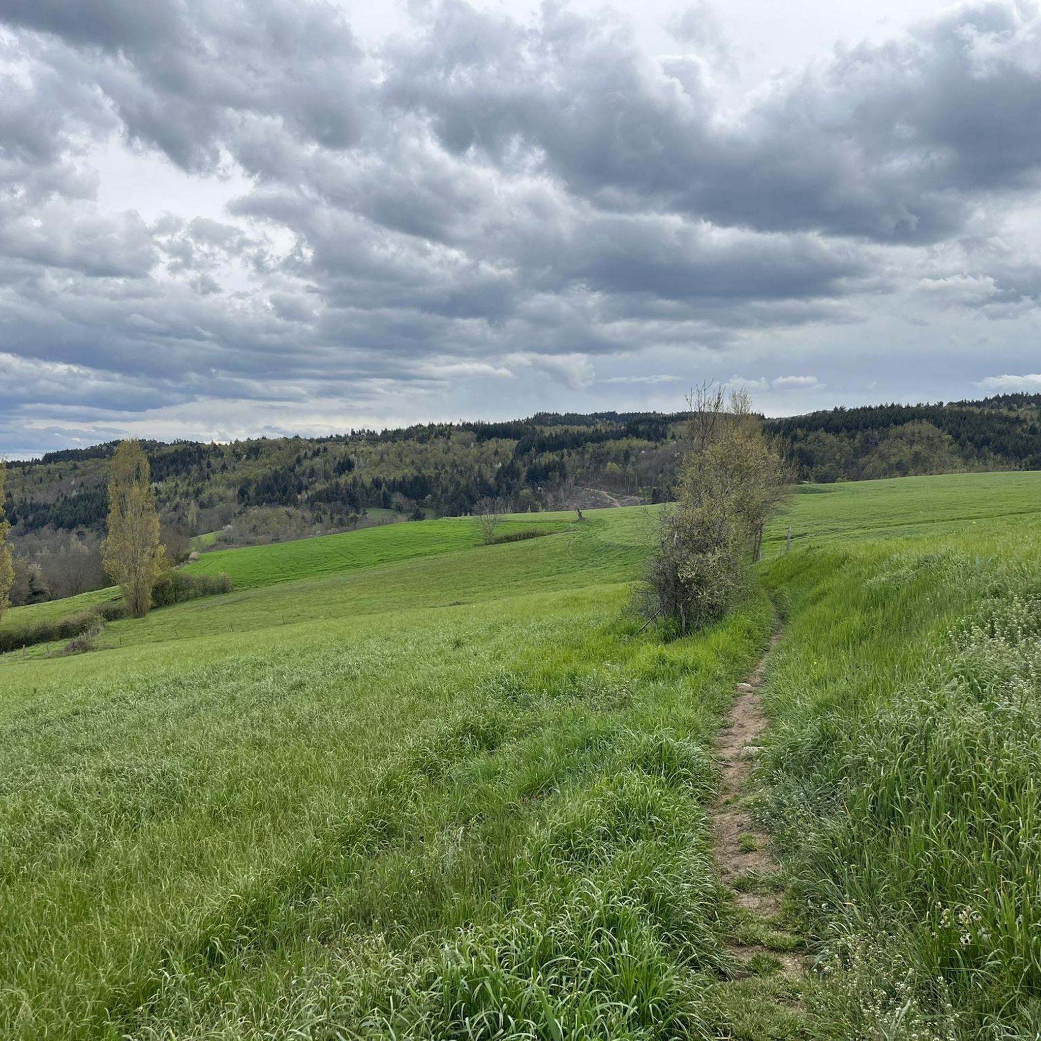
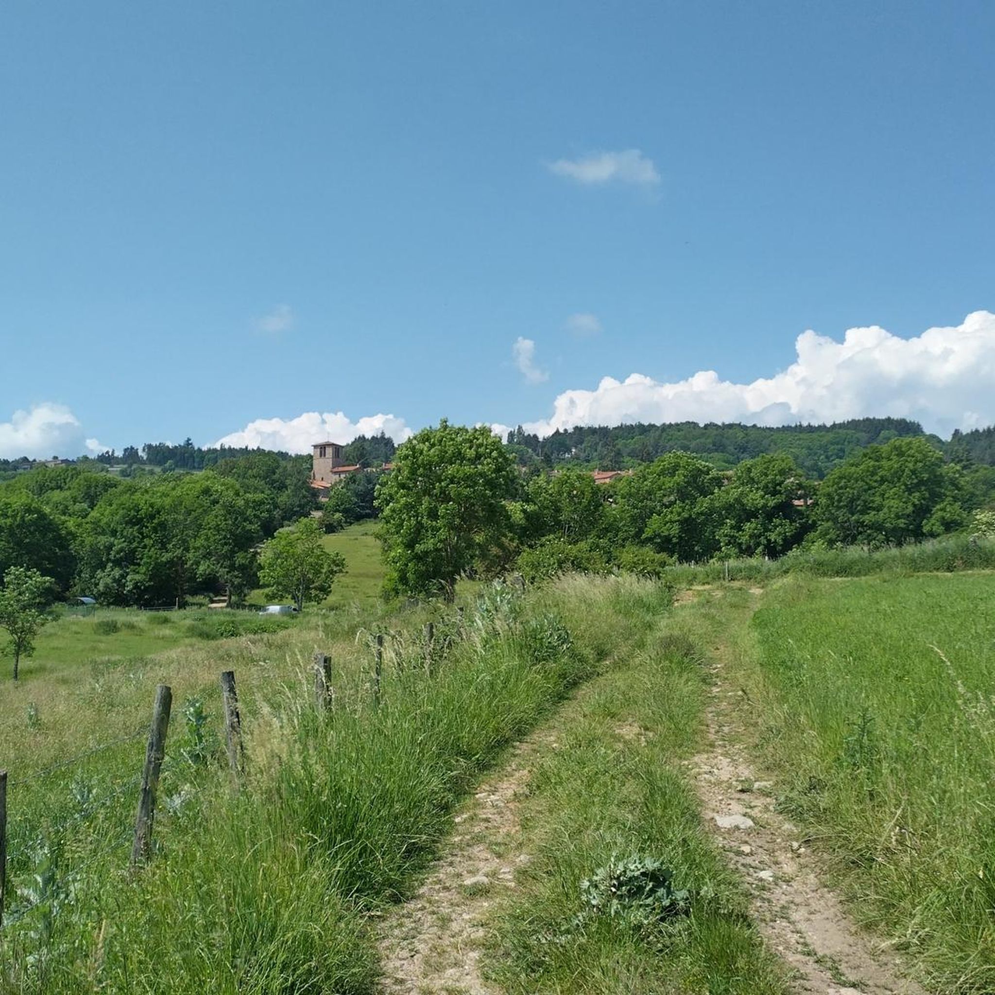
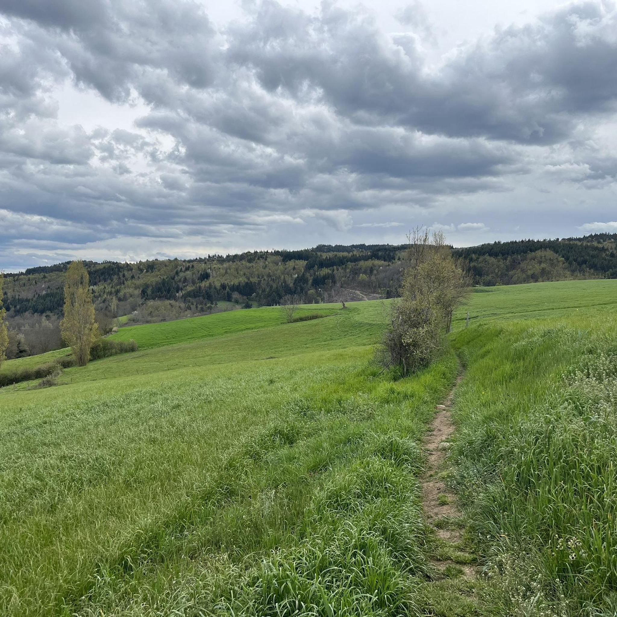
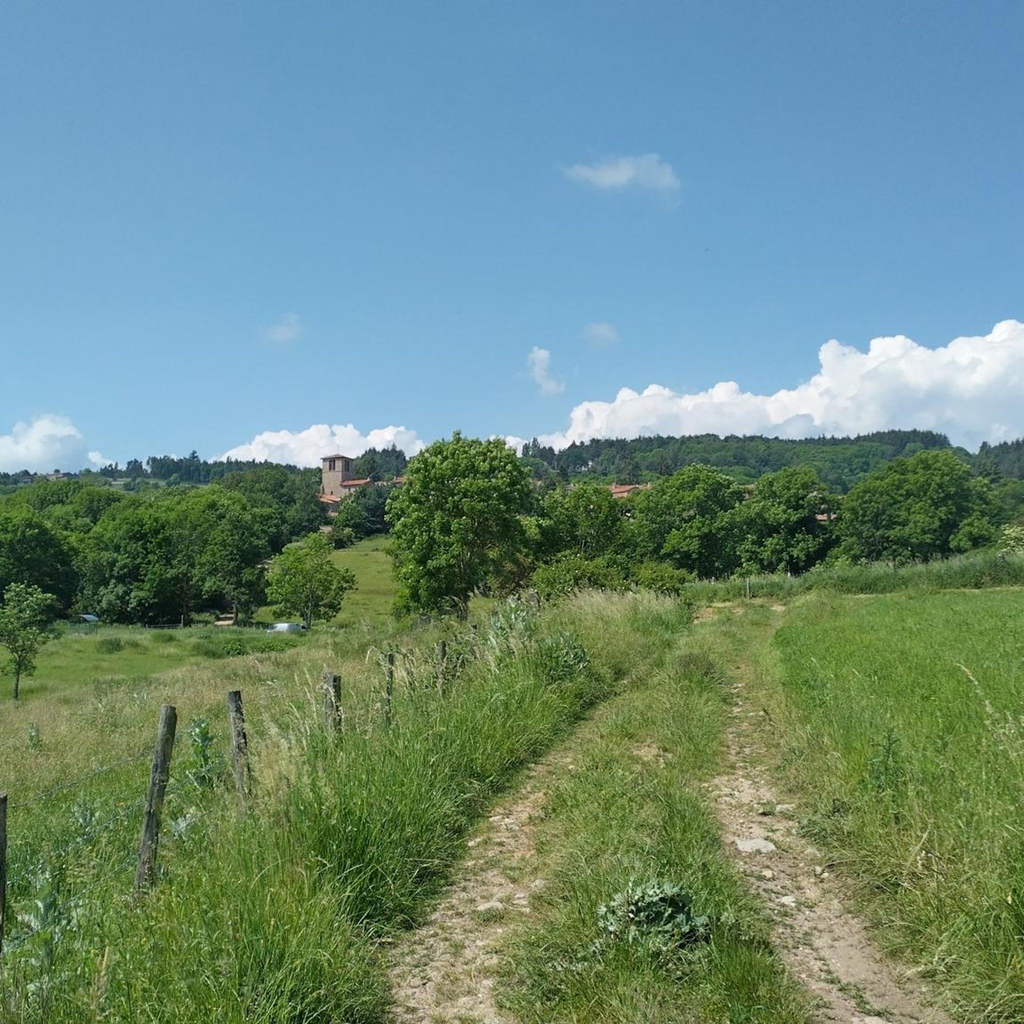
Tips from the Community

From Montarcher you have a breathtaking view of the Loire Valley all the way to the Alps
0
0

Montarcher, a small town in the heart of southern Haut-Forez, perched at 1162 meters, offers an exceptional panorama over the Velay and the Forez. Registered site, Montarcher is classified "Village of character" and has a remarkable heritage.
4
0


On a clear day, there is a fantastic view from up here.
8
0

In Montarcher (arrondissement of Montbrison) the hiker / pilgrim comes across a Church of St. Mary. The partly Romanesque, partly Gothic village church - the latter recognizable by the pointed arch vault typical of this architectural style - is dedicated to the Mother of God. The full title of the church is: "Église de l'Assomption-de-la-Vierge de Montarcher", so it has the patronage "Assumption of Mary". The (Catholic) Church celebrates this feast of the Assumption of Mary into heaven every year on August 15th. In rural areas there was or is the custom of collecting bundles of herbs, which are then blessed in the festival service.
6
1
On the pilgrimage route you reach Montarcher, a small, pleasant village in the arrondissement of Montbrison, located high up but with fewer than 100 inhabitants. The partly Romanesque, partly Gothic village church - the latter recognizable, among other things, by the pointed arch vault typical of this architectural style - is dedicated to the Mother of God, Mary.
7
1

Elevation, nature, gravel and concrete to finish
0
0

The church consists of a Romanesque choir and a nave built in the 12th century, flanked by two 15th century chapels. The beam of glory, which separates the choir from the nave, dates from the 15th or 16th century. It tells about the creation of the world. The porch and the bell tower date from the 16th or 17th century. Source: https://www.loire.fr
10
0
Frequently Asked Questions
How many running routes are available around Soleymieux?
There are over 300 running routes available around Soleymieux, offering a wide variety of options for all fitness levels. This includes 20 easy routes, 199 moderate routes, and 83 difficult routes.
Are there easy running paths suitable for beginners or families in Soleymieux?
Yes, Soleymieux offers several easy running paths perfect for beginners or families. These routes often feature accessible terrain and less elevation gain. For example, the region boasts a "Voie Verte" (greenway), an 18-kilometer flat, traffic-free path ideal for a relaxed run.
What kind of terrain can I expect on the jogging routes near Soleymieux?
The jogging routes near Soleymieux offer diverse terrain, ranging from dedicated greenways and accessible paths to forested and undulating sections. You'll find a mix of paved surfaces and natural trails, with some routes featuring significant elevation changes, especially as you venture towards areas like the Col des Pradeaux or the Bois Noirs.
Are there any challenging running trails for experienced runners in the Soleymieux area?
Absolutely. Experienced runners will find challenging trails with significant elevation changes. Routes like the Montsupt – Château de Lavieu loop from Margerie-Chantagret, which covers 18.8 km with over 500 meters of elevation gain, offer demanding uphill sections and rewarding panoramic views. Higher elevations like the Col des Pradeaux also provide opportunities for intense workouts.
Can I bring my dog on the running routes in Soleymieux?
Many natural areas and trails around Soleymieux are dog-friendly, but it's always recommended to keep your dog on a leash, especially in protected natural spaces like the Espace Naturel Sensible (ENS) de la Rama, and to respect local regulations and other trail users.
What are some scenic points of interest or natural features I might see while jogging?
While jogging around Soleymieux, you can enjoy diverse scenery from undergrowth to clear views. Notable natural features include the Espace Naturel Sensible (ENS) de la Rama within Soleymieux itself. Further afield, you might encounter the challenging terrain and panoramic views of the Col des Pradeaux or the forested landscapes of the Bois Noirs. Some routes also pass through charming medieval towns like Crémieu. You can also explore nearby attractions such as Montarcher or the Montsupt Peak and Chapel.
Are there circular running routes available in Soleymieux?
Yes, many of the running routes in Soleymieux are circular, allowing you to start and finish at the same point. For instance, the Montsupt loop from Margerie-Chantagret is a popular moderate circular path offering a balanced mix of forested terrain and open views.
Is public transport available to access the running trails around Soleymieux?
While Soleymieux is a smaller municipality, public transport options to access specific trailheads might be limited. It's advisable to check local bus schedules or consider driving to the starting points of routes, especially for those further from the village center.
Where can I find parking for the jogging routes in Soleymieux?
Parking is generally available near the starting points of many routes, particularly in and around the villages like Soleymieux, Margerie-Chantagret, or Boisset-Saint-Priest. Look for designated parking areas or roadside parking where permitted.
What is the best time of year for running in Soleymieux?
The best time of year for running in Soleymieux is typically spring and autumn, when temperatures are milder and the natural scenery is vibrant. Summer can also be pleasant, especially in the mornings or evenings, though some higher elevation routes might offer cooler conditions during the day. Winter running is possible, but conditions can vary, with potential for snow or ice at higher altitudes.
What do other runners say about the trails in Soleymieux?
The running routes in Soleymieux are highly rated by the komoot community, with an average score of 4.1 stars from over 40 reviews. Runners often praise the diverse landscapes, from protected natural spaces to forested areas, and appreciate the variety of options for different ability levels.
Are there any long-distance running options near Soleymieux?
For those seeking longer distances, the region offers extensive options. The "Voie Verte" itself is 18 kilometers and connects to the even longer ViaRhôna, providing opportunities for very long runs. Additionally, combining several circular routes or exploring the wider network of trails in the Bois Noirs or towards the crests of Perdrix and Oeillon can create significant distances.
Are there routes that offer significant elevation changes for a more intense workout?
Yes, Soleymieux and its surrounding areas provide routes with significant elevation changes for intense workouts. The Short Climb loop from Boisset-Saint-Priest, for example, features over 430 meters of ascent over 19 km. The nearby Col des Pradeaux also offers challenging uphill runs with rewarding panoramic views.
Most popular routes around Soleymieux
Most popular attractions around Soleymieux

Get inspired with the komoot mobile app


Explore more
Browse the best Running Trails & Routes in other regions.
