The best running trails around Stoßweier
4.4
(13)
727
runners
37
runs
Jogging routes around Stoßweier are set within the picturesque Munster Valley and the extensive Ballons des Vosges Regional Nature Park, offering a diverse landscape for runners. The region features a medium-mountain environment, with altitudes ranging from approximately 400 to 1350 meters, providing varied terrain from valley paths to challenging ascents. Dense forests, peaceful clearings, and high-altitude grasslands characterize the area, alongside impressive glacial formations and several serene lakes.
Best jogging routes around Stoßweier
- The most popular jogging route is Le…
Last updated: October 3, 2026
4.0
(1)
53
runners
17.6km
02:36
680m
680m
Hard run. Very good fitness required. Sure-footedness, sturdy shoes and alpine experience required.
15
runners
8.61km
01:05
200m
200m
Moderate run. Good fitness required. Mostly accessible paths. Some sure footedness required.

5.0
(1)
151
runners
14.3km
02:00
540m
540m
Hard run. Very good fitness required. Sure-footedness, sturdy shoes and alpine experience required.
4.5
(2)
59
runners
8.21km
01:06
230m
230m
Hard run. Good fitness required. Sure-footedness, sturdy shoes and alpine experience required.
5.0
(2)
56
runners
7.95km
01:03
240m
240m
Moderate run. Good fitness required. Mostly paved surfaces. Suitable for all skill levels.
Get access to more routes and recommendations from other explorers.
Already have an account?
Our route recommendations are based on thousands of hikes, rides, and runs completed by other people on komoot.
Start today with a free account
Your next adventure awaits.
Popular around Stoßweier
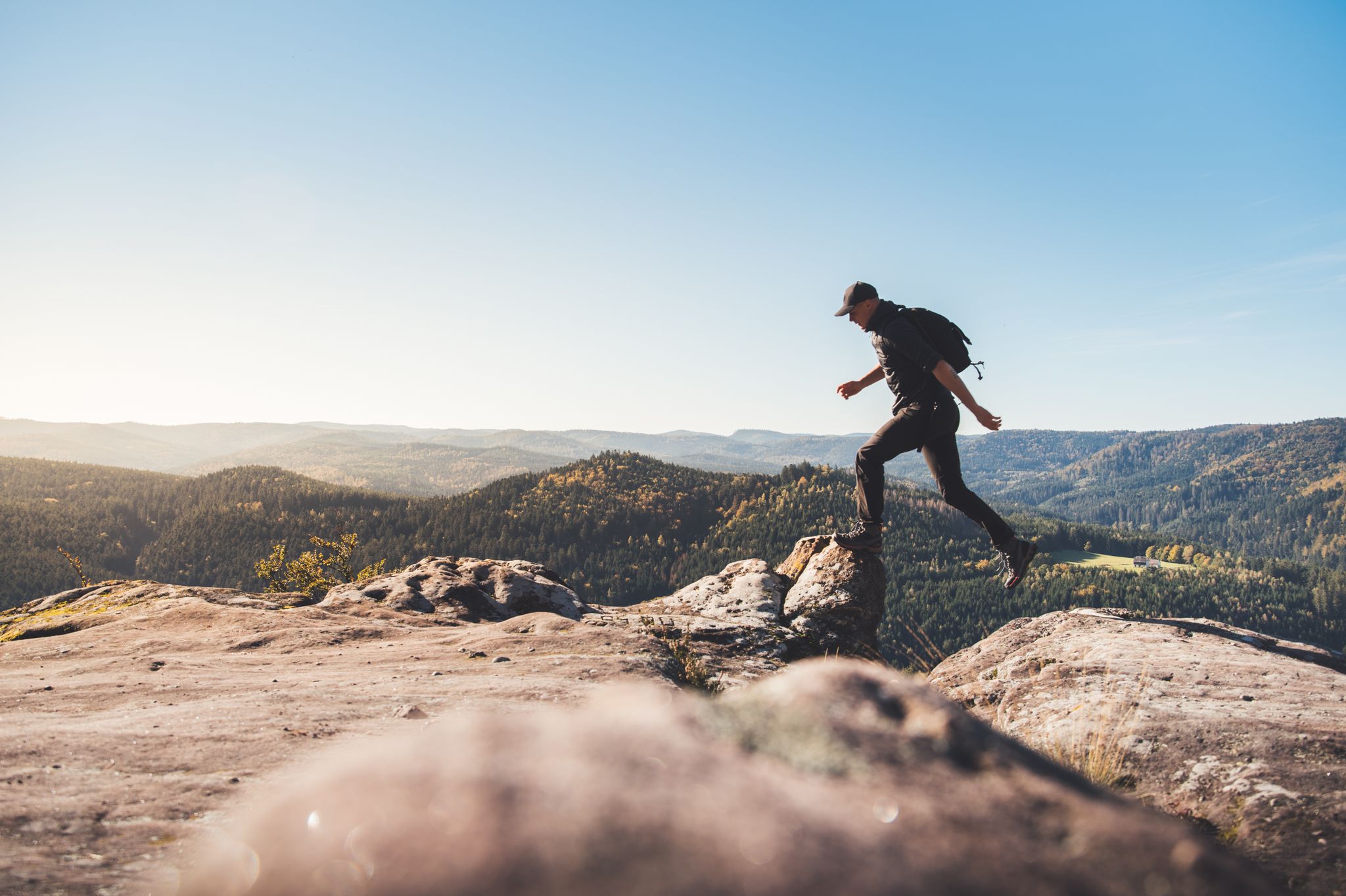
Trail running in the Grand Est – the region's most beautiful hilly trails

Sentier de l'Europe (GR 5) – Montbéliard to Abreschviller
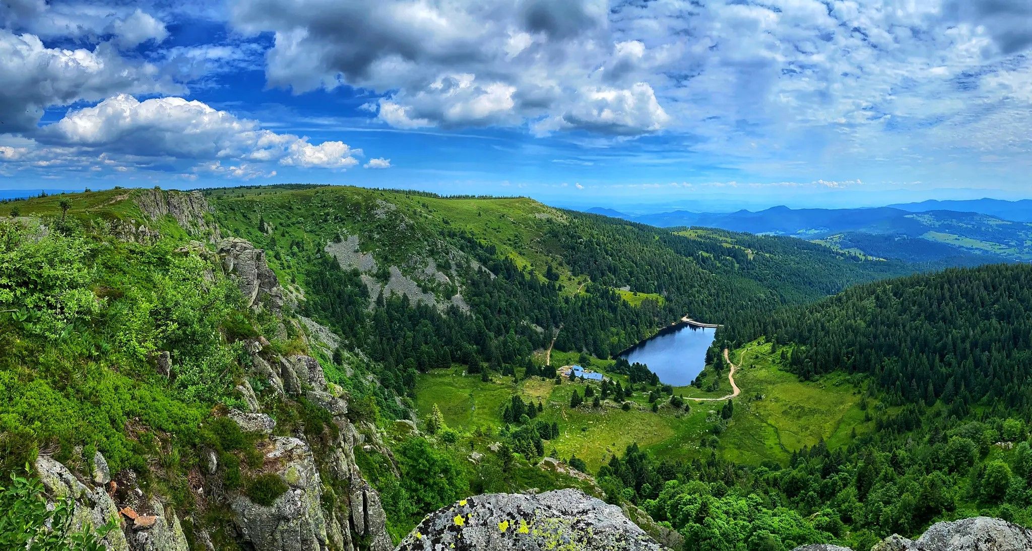
From inn to inn – Tour of Gazon du Faing and the four lakes

From the Vosges to the Jura mountains – Hexatrek, le Grand Est
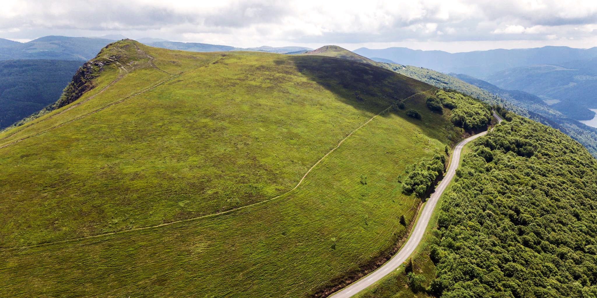
Beautiful passes In the Vosges Mountains
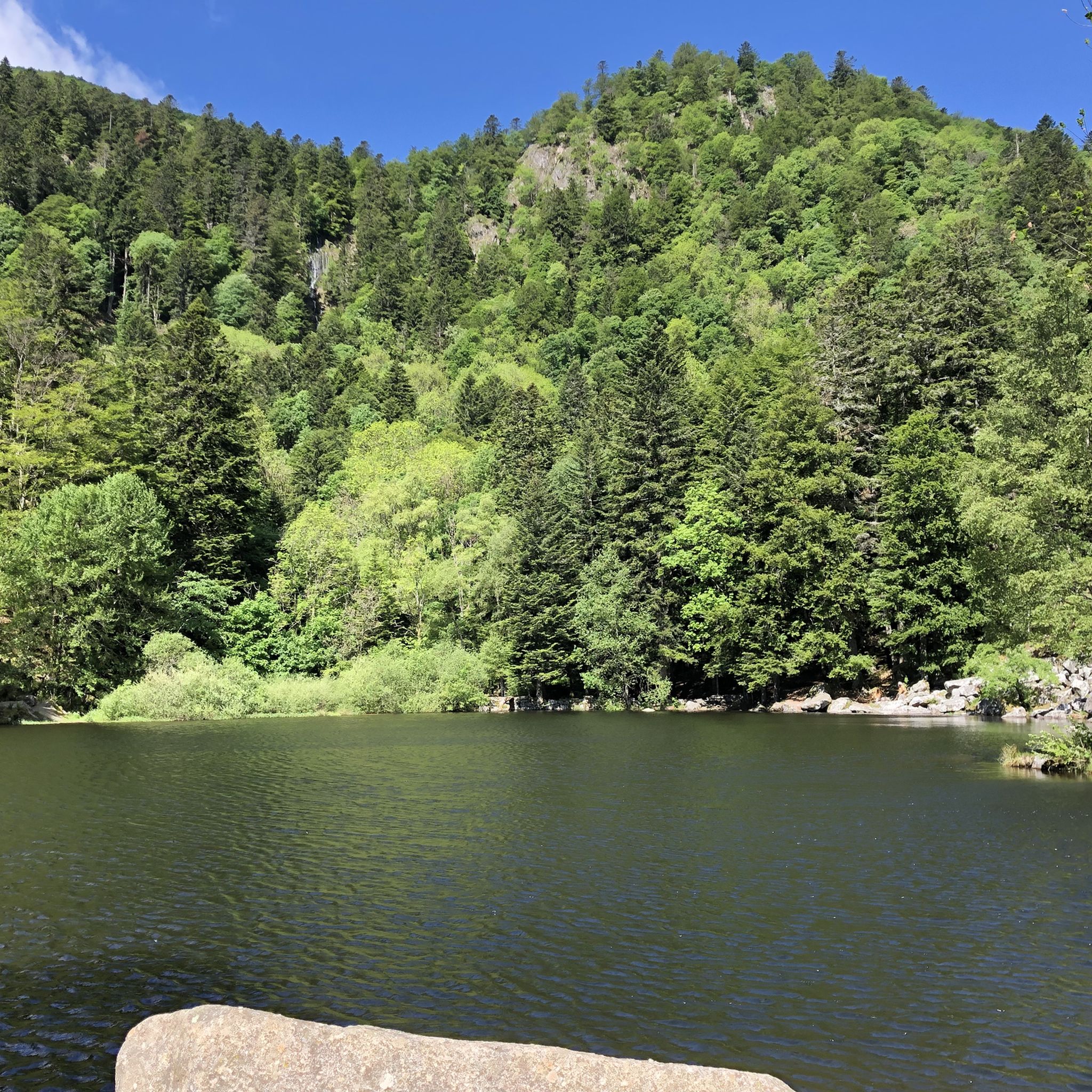
Hiking around Stoßweier
Road Cycling Routes around Stoßweier
Cycling around Stoßweier

Gravel biking around Stoßweier
MTB Trails around Stoßweier
Other adventures around Stoßweier


Tips from the Community


The Schaeferthalpass (French: Col du Schaeferthal) is an important mountain pass located at an altitude of 1,224 to 1,228 meters in the High Vosges. It connects the ice-age Frankenthal Valley with the glacial cirque of the Schiessrothried lake and forms a central hub for challenging circular hikes.
0
0
The Réserve Naturelle Nationale de Frankenthal-Missheimle is one of the most spectacular and ecologically valuable nature reserves in the High Vosges. It stretches along the Alsatian eastern side of the Vosges ridge between the Hohneck and the Col de la Schlucht. The area is characterized by steep glacial valleys (cirques), vertical rock faces, high moors, and alpine plateaus. Landscape highlights in the protected area The Frankenthal Valley: A kettle-shaped, deeply incised glacial valley. The Ferme Auberge of the same name is located here amidst lush meadows. The Martinswand: An imposing, almost vertical rock face directly above the valley. It is an extremely popular area for climbers and a breeding ground for rare birds. The Hirschsteine (Rochers des Hirschsteine): A striking rock formation that can be ascended via an adventurous path, secured with ladders and steps (the Sentier des Hirschsteine). The Missheimle Moor: A sensitive high moor below the rocks of the Petit Wurzelstein. Flora and fauna Due to the harsh microclimate, glacial relics and alpine species have been preserved here: Animals: The reserve is famous for its chamois, which can be observed especially in the morning on the steep slopes of the Wormspel. The extremely rare and protected capercaillie (Grand Tétras) and peregrine falcons also live here. Plants: Botanical specialities such as arnica, yellow gentian, and the Vosges alpine knotweed (Vogesen-Alpenbergknöterich) characterize the vegetation.
0
0

Great summit. A bit overcrowded, as you can drive up by car. There is an inn with delicious beer.
2
0

It culminates at 1228 meters altitude.
0
0

Awesome views that you have earned as a reward through the Felsenland
3
0

A wonderful vantage point, but very crowded due to the access road....
2
0
Frequently Asked Questions
How many running routes are available around Stoßweier?
There are over 30 dedicated running routes in and around Stoßweier, offering a diverse range of experiences for runners. These trails are set within the picturesque Munster Valley and the extensive Ballons des Vosges Regional Nature Park.
What are the different difficulty levels for running trails in Stoßweier?
The running trails around Stoßweier cater to various fitness levels. You'll find 8 moderate routes and 23 difficult routes, offering options from scenic valley runs to challenging mountain ascents. There are currently no routes classified as easy, so runners should be prepared for some elevation changes.
Are there any family-friendly running routes in the Stoßweier area?
While there are no routes specifically labeled 'easy', several of the 8 moderate routes might be suitable for families with older children or those looking for a less strenuous run. These often feature gentler paths along valleys. Always check the route's elevation profile and distance before heading out with family.
Can I bring my dog on the running trails in Stoßweier?
Many trails in the Vosges Mountains and Ballons des Vosges Regional Nature Park are dog-friendly, but it's always recommended to keep dogs on a leash, especially in nature reserves or areas with livestock. Be mindful of other trail users and local regulations.
Are there running routes that feature scenic viewpoints or natural landmarks?
Absolutely! The region is rich in natural beauty. You can find routes that lead to magnificent panoramic views from peaks like Hohneck, or past impressive glacial formations such as the Frankenthal glacial cirque. Many trails also incorporate serene lakes like Fischboedlé Lake, Lac Vert, and Lac des Truites, or even waterfalls such as the Stolz Ablass. For example, the difficult route Hohneck – Lake Fischboedle loop from Gaschney offers stunning vistas and passes a beautiful lake.
Are there any circular running routes around Stoßweier?
Yes, many of the running routes in the area are designed as loops, allowing you to start and finish at the same point. A popular moderate option is Lac de Schiessrothried — loop — running from Gaschney, which circles the scenic Lac de Schiessrothried. Another challenging loop is Lake Schiessrothried – Gaschney loop from Gaschney, leading through the Vosges Mountains.
What do other runners enjoy most about jogging in Stoßweier?
The running routes in Stoßweier are highly rated by the komoot community, with an average score of 4.8 stars from more than 9 reviews. Runners often praise the diverse landscapes, from dense forests to high-altitude grasslands, and the stunning views across mountain ridges and glacial lakes. The variety of terrain ensures there's something for every preference.
Are there any historical sites or points of interest along the running trails?
Yes, the region has historical significance. Stoßweier itself was a focal point during World War I, and you might encounter historical markers. Additionally, highlights like Sentier des Roches and Wormspel Combe offer natural beauty with a sense of history. The French military cemetery at Col du Wettstein is another notable historical site in the vicinity.
Are there any long-distance running options near Stoßweier?
Given the extensive 460 km network of marked trails in the wider area, combining routes can create longer running experiences. For example, the difficult Le Gaschney – between ridges and lakes route is already 17.6 km, offering a substantial challenge with significant elevation changes.
What is the best season for running in Stoßweier?
Stoßweier offers great running opportunities year-round. Spring and autumn provide pleasant temperatures and vibrant scenery, while summer offers shaded paths through extensive forests. Winter running is also possible, especially on lower-altitude trails, though higher mountain paths might require specific gear due to snow and ice. Always check local weather and trail conditions before heading out.
Are there places to park near the running trailheads in Stoßweier?
Yes, many trailheads in the Stoßweier area, especially those leading to popular spots like Gaschney or Col de la Schlucht, offer designated parking facilities. It's advisable to check specific route details on komoot for parking information related to your chosen running trail.
Can I access running routes near Stoßweier using public transport?
Stoßweier is conveniently located near Munster, which often serves as a hub for local public transport. While direct access to every trailhead might vary, public transport can get you close to many starting points. Research local bus schedules to plan your access to the trail network.
Most popular routes around Stoßweier
Most popular attractions around Stoßweier

Get inspired with the komoot mobile app


Explore more
Browse the best Running Trails & Routes in other regions.
