The best road cycling routes around Triembach
4.5
(184)
4,218
riders
95
rides
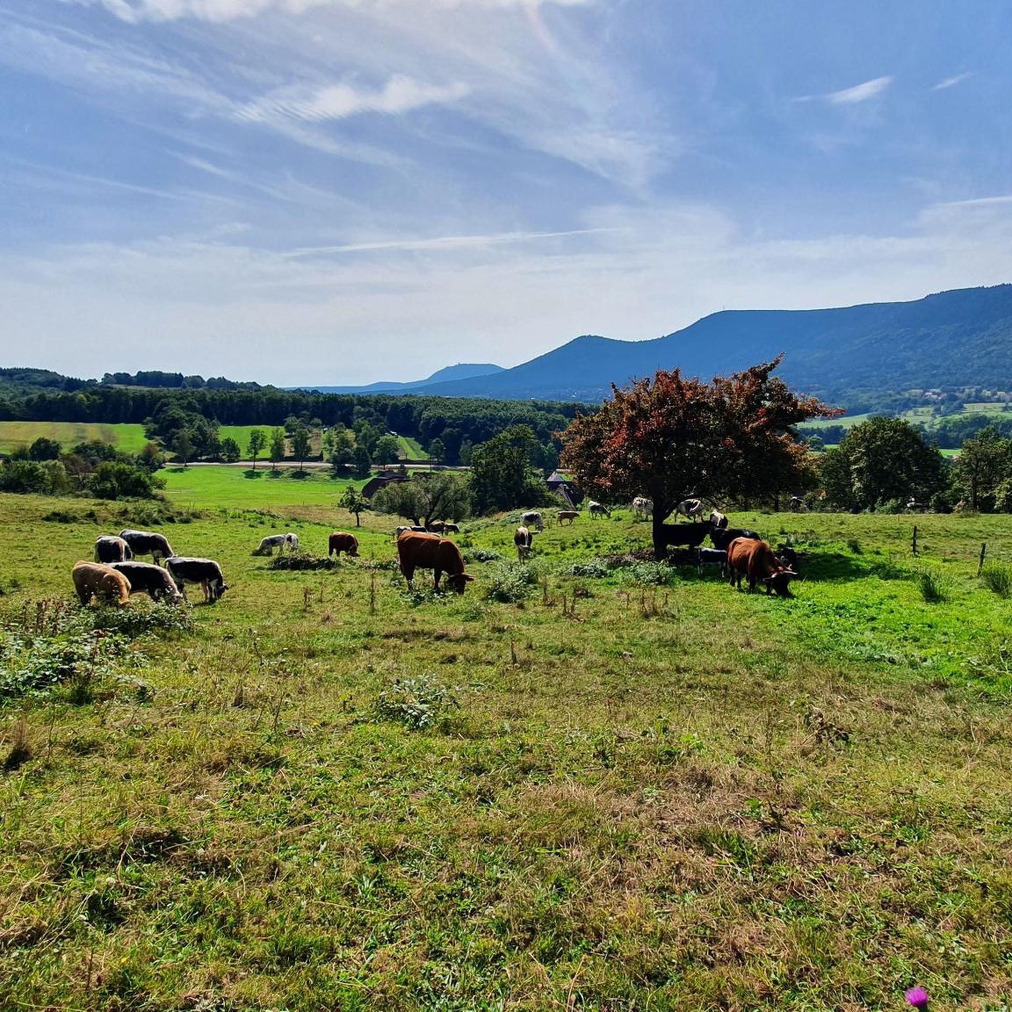
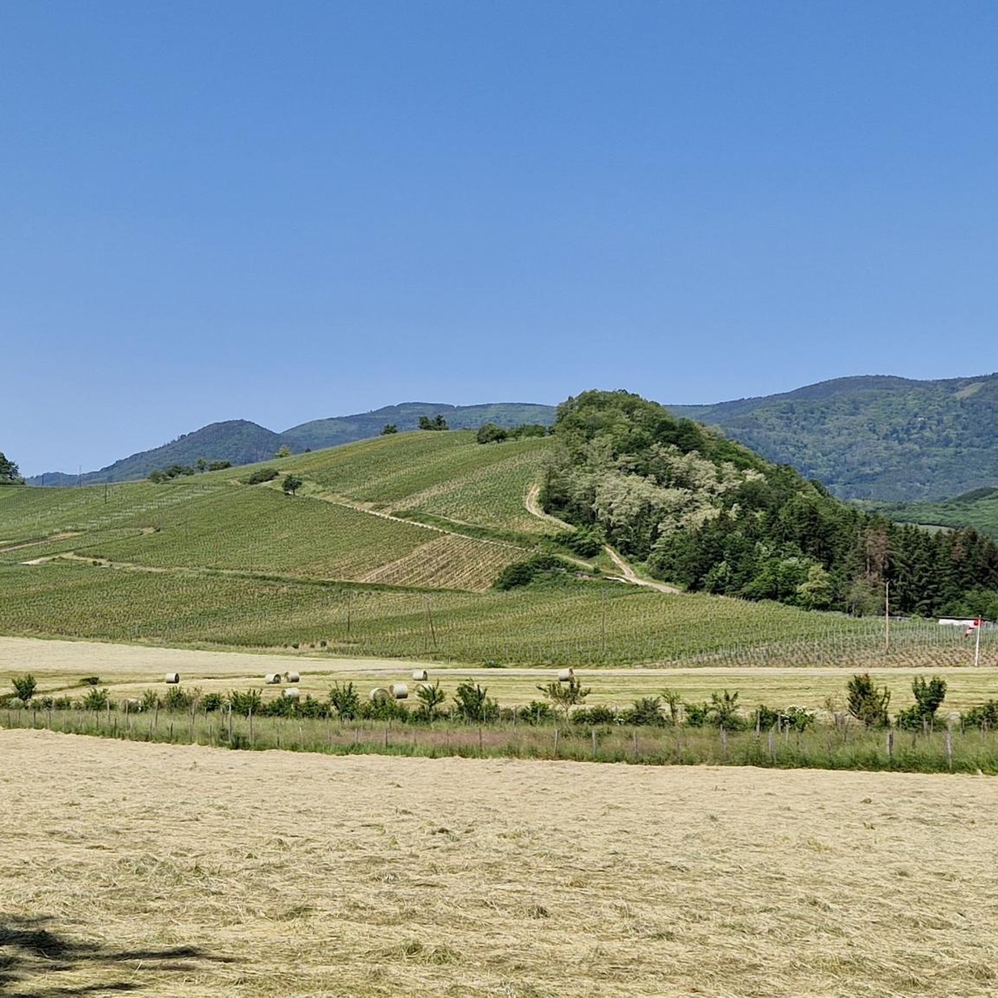
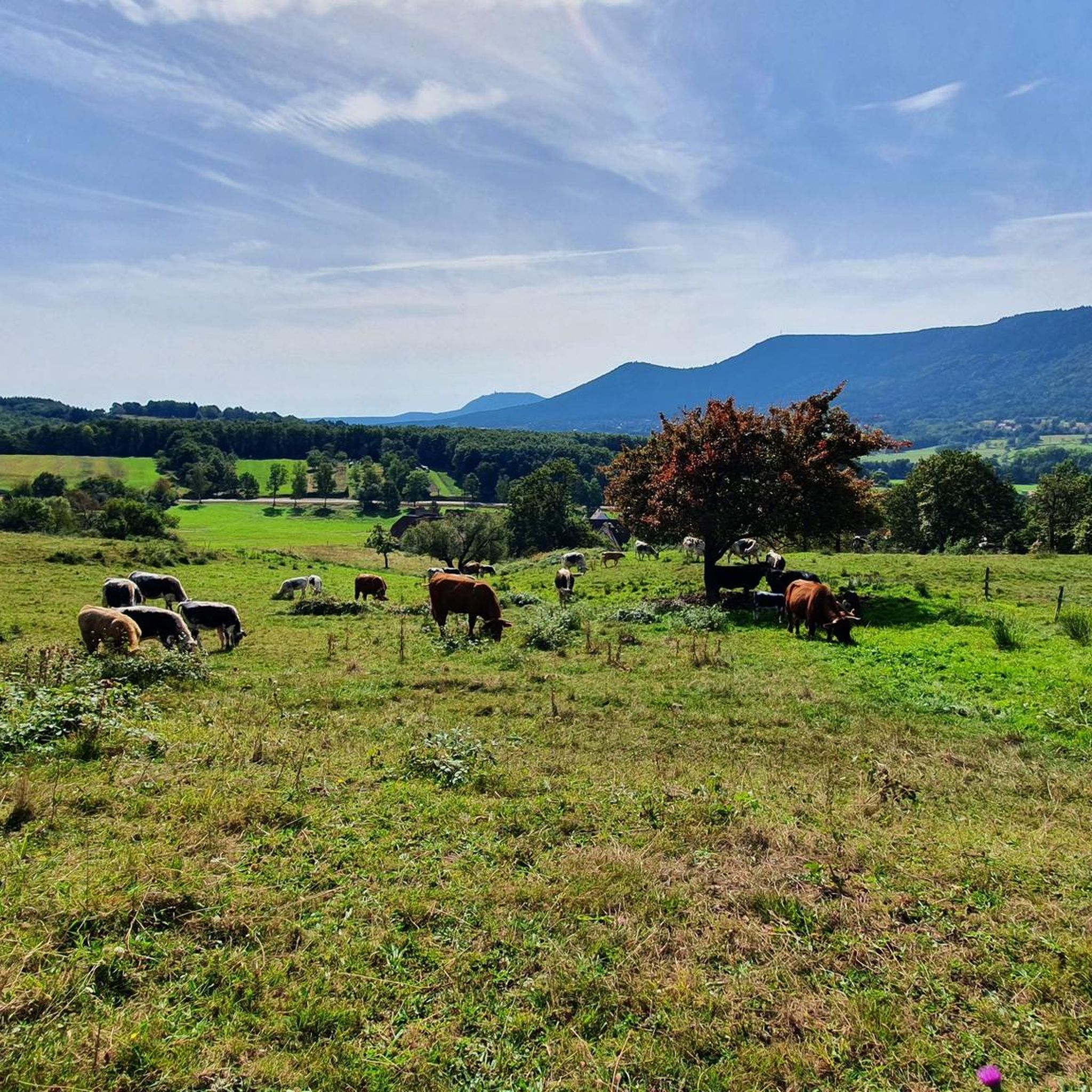
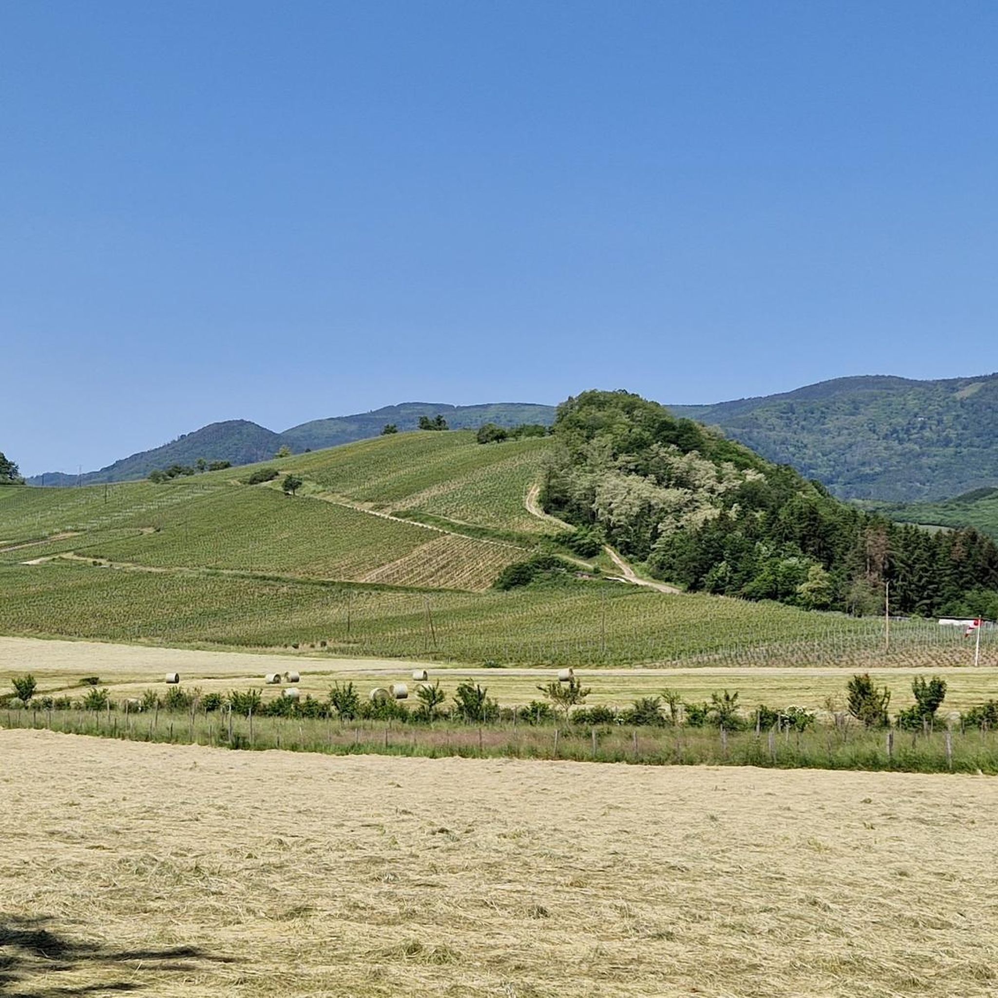
Road cycling around Triembach features routes that navigate the foothills of the Vosges mountains, characterized by forested slopes and mountain passes. The terrain includes significant elevation changes, with climbs leading to panoramic viewpoints. Riders can expect a mix of challenging ascents and winding descents through rural landscapes. The area offers a diverse network of roads suitable for various road cycling experiences.
Best road cycling routes around Triembach
- The most popular road cycling route is Champ du Feu – Au Champ…
Last updated: July 5, 2026
49
riders
56.4km
03:13
1,350m
1,360m
Hard road ride. Very good fitness required. Mostly well-paved surfaces and easy to ride.
4.0
(1)
15
riders
23.6km
01:05
290m
290m
Easy road ride. Great for any fitness level. Mostly well-paved surfaces and easy to ride.

Sign up for free
5.0
(1)
21
riders
27.8km
01:46
830m
830m
Moderate road ride. Good fitness required. Mostly well-paved surfaces and easy to ride.
4.4
(7)
28
riders
56.6km
02:49
870m
870m
Moderate road ride. Good fitness required. Mostly well-paved surfaces and easy to ride.
5.0
(1)
27
riders
107km
05:36
1,790m
1,790m
Hard road ride. Very good fitness required. Some segments of this route may be unpaved and difficult to ride.
Get access to more routes and recommendations from other explorers.
Sign up for free
Already have an account?
Our route recommendations are based on thousands of hikes, rides, and runs completed by other people on komoot.
Start today with a free account
Your next adventure awaits.
Login or Signup

Tips from the Community

The Champ du Feu, at 1099 meters, is the highest mountain in the Bas-Rhin department in the Vosges in Alsace. It is located between the towns of Belmont and Le Hohwald and consists of a vast plateau with forests, meadows, and moorlands. The area is a popular nature and recreational area. In summer, it is mainly used for hiking, mountain biking, and nature observation. In winter, there is a small ski area with cross-country trails and simple slopes for winter sports. From the Champ du Feu, the La Serva stream originates, which later forms the Cascade de la Serva. In clear weather, the summit offers wide views over the Vosges, the Rhine plain, and even the Black Forest. The area is particularly known for its quiet nature, high moors, sunrises and starry skies, as well as well-marked hiking trails.
0
0


Beautiful route, pleasant but lots of bikers...
0
0

One of the most beautiful villages in Alsace
0
0

Frequently Asked Questions
How many road cycling routes are available around Triembach?
There are over 100 road cycling routes around Triembach, offering a wide range of options for different skill levels. This includes 13 easy, 56 moderate, and 31 difficult routes.
Are there easy road cycling routes suitable for beginners in Triembach?
Yes, Triembach offers 13 easy road cycling routes. While the region is known for its elevation changes, these routes provide a gentler introduction to road cycling in the foothills of the Vosges mountains.
What is the typical length of road cycling routes in Triembach?
The routes vary significantly in length. For example, the Champ du Feu – Au Champ du Feu loop from Villé is 35 miles (56.4 km), while the Urbeis Pass – Col de Steige loop from Villé is 31.5 miles (50.7 km). You'll find options ranging from shorter loops to longer, more demanding rides.
What are some challenging road cycling routes in Triembach?
For experienced cyclists, routes like the Champ du Feu – Au Champ du Feu loop from Villé (35 miles, 1243m elevation gain) or the Ascent to Haut-Koenigsbourg – Urbeis Pass loop from Villé (55.5 miles, 1357m elevation gain) offer significant climbs and rewarding descents through mountain passes.
What kind of terrain can I expect on road cycling routes around Triembach?
Road cycling around Triembach is characterized by routes navigating the foothills of the Vosges mountains. You can expect forested slopes, significant elevation changes with climbs leading to panoramic viewpoints, and winding descents through rural landscapes. The area offers a mix of challenging ascents and moderate climbs.
What do other road cyclists enjoy most about the routes in Triembach?
The routes in Triembach are highly rated by the komoot community, with an average score of 4.6 stars from over 190 reviews. Cyclists often praise the diverse terrain, the challenging mountain passes, and the scenic beauty of the forested valleys and rural landscapes.
Are there any scenic viewpoints or landmarks along the road cycling routes?
Yes, the region offers several points of interest. You might pass by the Hering Tower on Ungersberg for panoramic views, or historic sites like Bernstein Castle and Andlau Castle. Some routes also lead through picturesque areas like the Vineyards around Mittelbergheim.
What is the best season for road cycling in Triembach?
While specific seasonal data isn't provided, the region's mountainous terrain suggests spring through autumn would offer the most favorable conditions. Summers are generally pleasant, and autumn brings beautiful foliage. Winter cycling might be challenging due to snow or ice on higher passes.
Are there any circular road cycling routes in Triembach?
Many of the routes around Triembach are designed as loops, allowing you to start and end in the same location. Examples include the Well with drinking water – Chateau loop from Villé and the Champ du Feu – Charbonnière Pass loop from Villé.
Where can I find parking when starting a road cycling route in Triembach?
Many of the popular routes, such as those mentioned in this guide, start from Villé. You can typically find public parking available in and around the town centers of starting points like Villé, which serves as a convenient base for exploring the surrounding cycling network.
Can I find places to stop for refreshments or food along the routes?
While specific cafe stops are not detailed for every route, the region's rural landscapes often include small villages and towns where you can find local establishments. The Rothlach Inn, for instance, is a highlight in the area that could serve as a refreshment stop.
How does road cycling in Triembach compare to nearby areas like Barr?
Both Triembach and Barr are situated in the Vosges foothills and offer excellent road cycling. Triembach's routes are characterized by significant elevation changes and mountain passes, providing a challenging experience. Barr, being slightly further north, also features vineyards and similar mountainous terrain, but the specific routes and their difficulty can vary. Triembach provides a strong focus on climbs and descents through forested and rural settings.
Most popular attractions around Triembach

Get inspired with the komoot mobile app


Explore more
Browse the best Road cycling routes in other regions.
