The best running trails around Neukirch
4.1
(109)
6,374
runners
340
runs
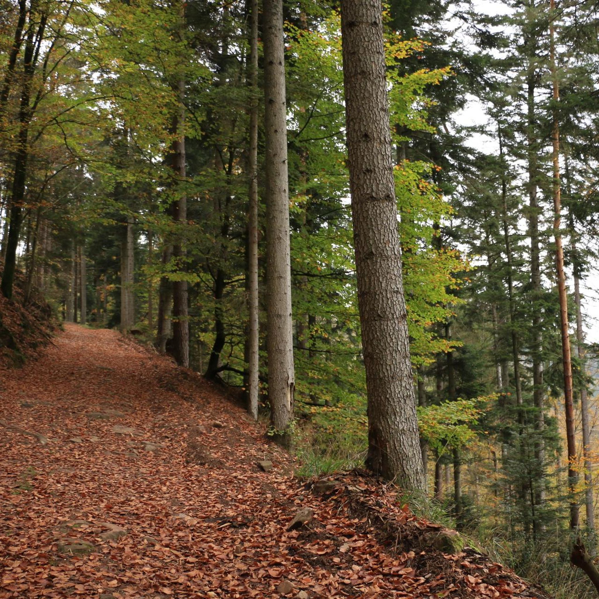
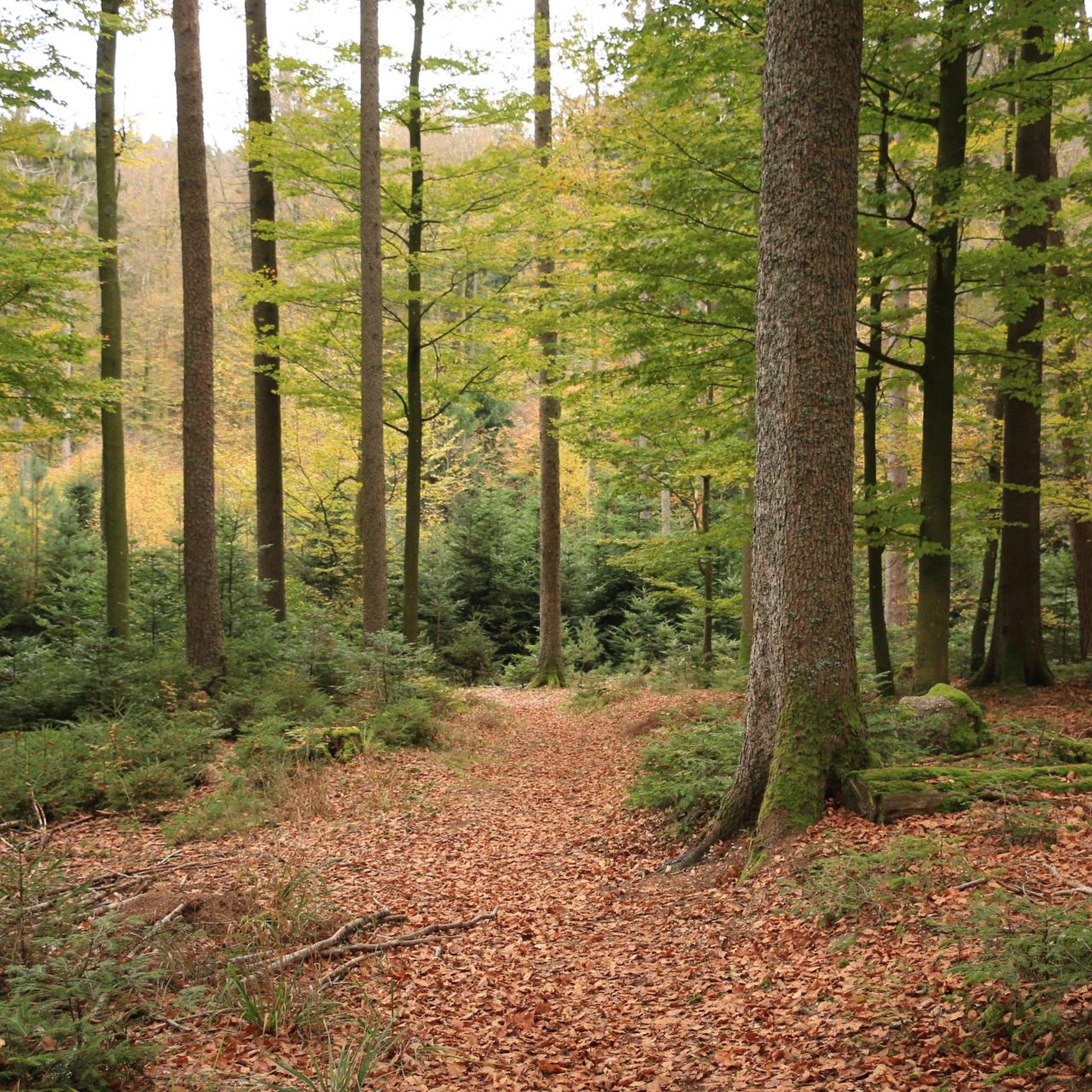
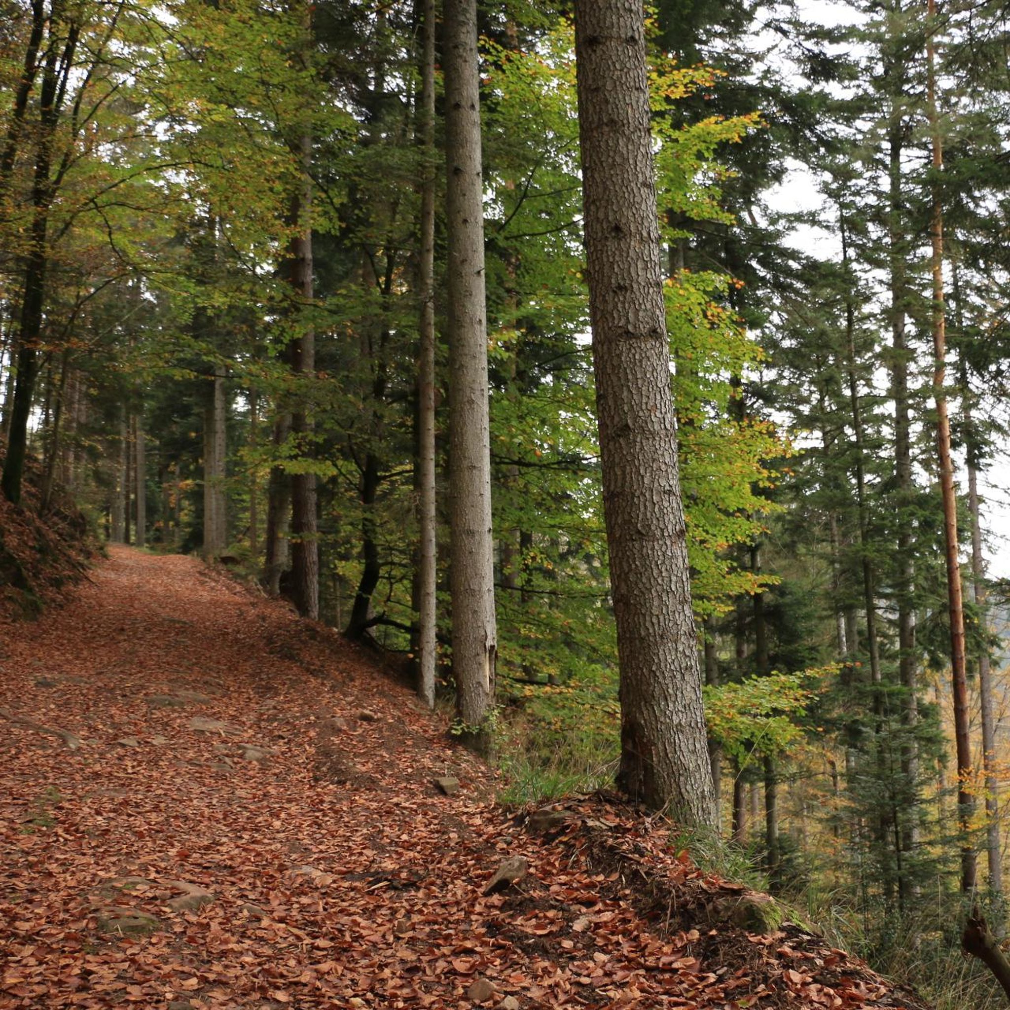
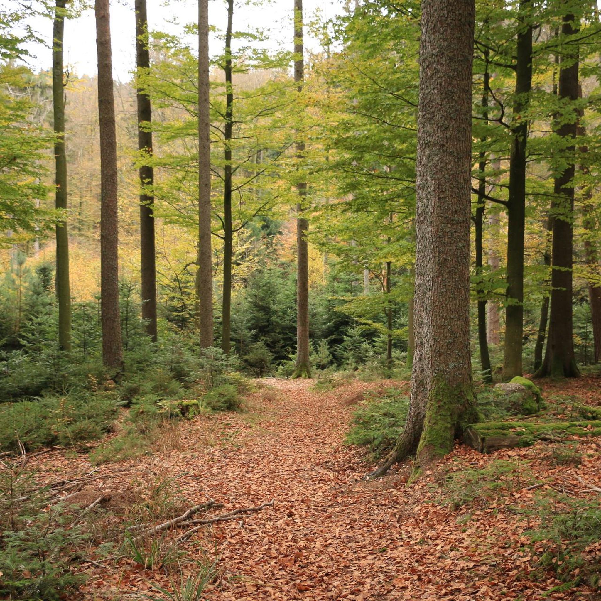
Jogging around Neukirch offers a diverse landscape for runners, characterized by rolling hills and varied elevation changes. The region features a mix of forested paths and open terrain, providing different challenges and scenic views. With numerous routes available, runners can find paths ranging from gentle inclines to more demanding ascents. The area's natural setting supports a range of running experiences for different fitness levels.
Best jogging routes around Neukirch
- The most popular jogging route is View from Rocher du Coucou…
Last updated: July 5, 2026
21
runners
16.2km
02:19
860m
860m
Hard run. Very good fitness required. Mostly paved surfaces. Suitable for all skill levels.
10
runners
18.0km
02:28
750m
750m
Hard run. Very good fitness required. Mostly paved surfaces. Suitable for all skill levels.

Sign up for free
11
runners
23.1km
03:01
840m
840m
Hard run. Very good fitness required. Mostly paved surfaces. Suitable for all skill levels.
10
runners
9.59km
01:04
110m
110m
Moderate run. Good fitness required. Mostly paved surfaces. Suitable for all skill levels.
19
runners
9.00km
01:02
70m
70m
Moderate run. Good fitness required. Mostly paved surfaces. Suitable for all skill levels.
Get access to more routes and recommendations from other explorers.
Sign up for free
Already have an account?
Our route recommendations are based on thousands of hikes, rides, and runs completed by other people on komoot.
Start today with a free account
Your next adventure awaits.
Login or Signup

Tips from the Community

Beautiful view of the valley.
0
0


Beautiful view with a picnic table and nice flat on the top
0
0

A great view of the peaks of the Vosges and the Alsatian plain.
1
0

The view of the Rhine plain and the Hochkönigsburg is very nice. There is also a bench to sit on. There are shadows too.
2
0

The Ungersberg culminates at 901 meters above sea level. At the top, the Club Vosgien has erected the Héring tower which offers a panoramic view of the plain of Alsace and the surrounding peaks.
1
0

View with a clear view to the Hornisgrinde
0
0

The mobile phone mast is not a problem for me personally because an attempt was made to place it discreetly in the background. The rocks offer a beautiful view of the Rhine Valley and over to the Frankenburg and the Königsburg. I claim the best vantage point of this tour.
0
1
Frequently Asked Questions
How many running routes are available around Neukirch?
Neukirch offers a wide selection of running routes, with over 320 trails available for exploration. These range from easy paths to more challenging runs, catering to various fitness levels.
What is the overall difficulty level of running trails in Neukirch?
The running trails in Neukirch present a diverse range of difficulties. You'll find 18 easy routes, 134 moderate paths, and 168 difficult trails, many featuring varied elevation and terrain.
Are there easy jogging routes suitable for beginners in Neukirch?
Yes, Neukirch has 18 easy running routes perfect for beginners or those looking for a less strenuous jog. These paths generally feature gentler inclines and more manageable terrain.
Can I find family-friendly running paths in Neukirch?
While specific 'family-friendly' designations aren't always explicit, the 18 easy routes around Neukirch are generally suitable for families. These trails often have less elevation gain and smoother surfaces, making them more accessible for all ages.
Are dogs allowed on the running trails in Neukirch?
Most outdoor trails in the Neukirch region are dog-friendly, provided your dog is kept on a leash and you clean up after them. It's always a good idea to check local signage for any specific restrictions on individual paths.
Are there circular running routes available in Neukirch?
Yes, many of the running routes in Neukirch are circular, allowing you to start and finish at the same point. An example is the Chateau – Information panel loop from Dieffenbach-au-Val, a moderate 5.6-mile trail.
Where can I find challenging running trails with significant elevation gain?
Neukirch is known for its challenging routes with significant elevation changes. For instance, the Ungersberg – Col de la Bellevue loop from Villé is a difficult 11.2-mile path offering substantial climbs and panoramic views.
Are there running routes with scenic viewpoints in Neukirch?
Absolutely. Many trails in Neukirch offer stunning vistas. The View from Rocher du Coucou loop from Dieffenbach-au-Val is a great option, providing beautiful views over the surrounding landscape.
What kind of attractions or landmarks can I see while running in Neukirch?
The region around Neukirch is rich in historical and natural sights. You might encounter impressive castles like Bernstein Castle or Ortenbourg Castle, or natural wonders such as the Hohwald waterfall. Many routes pass by these points of interest.
Are there options for winter jogging in Neukirch?
While Neukirch's varied terrain can be beautiful in winter, conditions can be challenging with snow and ice. Some lower-elevation or well-maintained paths might be suitable, but always check local weather and trail conditions, and consider appropriate footwear for safety.
How long are the running routes typically in Neukirch?
The running routes in Neukirch vary greatly in length. You can find shorter paths, like the 5.6-mile Chateau – Information panel loop from Dieffenbach-au-Val, up to longer, more demanding trails such as the 14.4-mile Hering Tower on Ungersberg – Great Bellevue loop from Villé.
What do other runners say about the trails in Neukirch?
The running trails in Neukirch are highly rated by the komoot community, with an average score of 4.4 stars from over 90 reviews. Runners often praise the diverse landscape, varied elevation, and the mix of forested paths and open terrain that provide both challenge and scenic beauty.
Is parking available near the running trails in Neukirch?
Yes, parking is generally available at common trailheads and in the villages surrounding Neukirch, such as Dieffenbach-au-Val or Villé, which serve as starting points for many routes. Always look for designated parking areas to ensure convenience and compliance with local regulations.
Most popular attractions around Neukirch

Get inspired with the komoot mobile app


Explore more
Browse the best Running Trails & Routes in other regions.
