The best walks and hikes around Roisey
4.5
(1455)
8,777
hikers
25
hikes
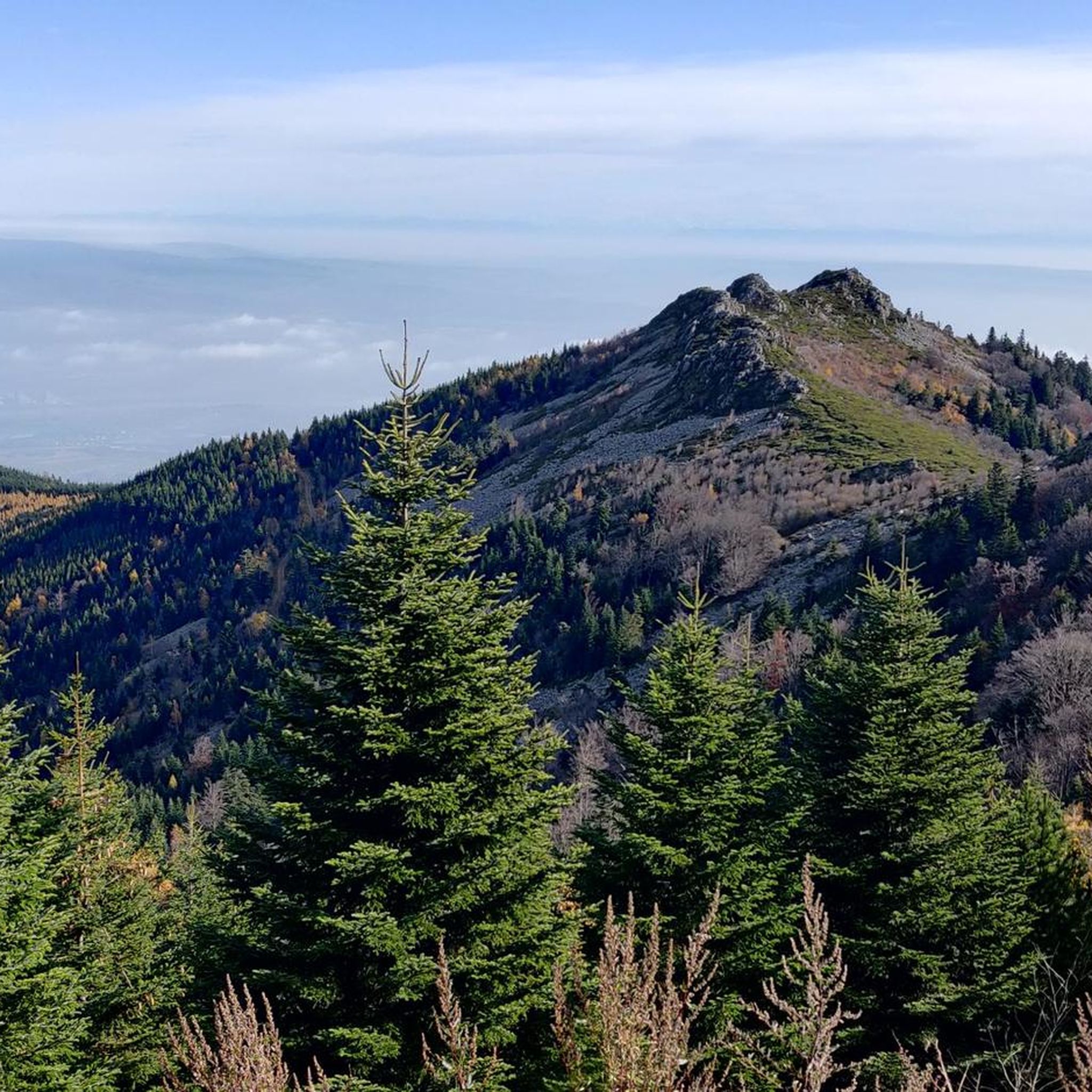
Hiking around Roisey offers diverse landscapes, characterized by hilly terrain and prominent crests, providing varied opportunities for outdoor activities. The region is situated near the Pilat Natural Regional Park, suggesting a rich natural environment with varied terrain suitable for exploration. These natural features contribute to a network of hiking trails that cater to different fitness levels.
Best hiking trails around Roisey
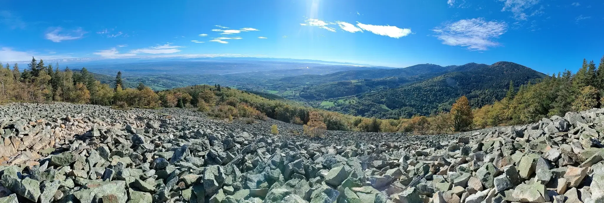
- The most popular hiking route is Crêt de l'Œillon via Roisey, a 9.9 miles (16.0 km) trail that…
Last updated: August 25, 2026
4.9
(7)
28
hikers
16.0km
05:28
850m
850m
Hard hike. Very good fitness required. Sure-footedness, sturdy shoes and alpine experience required.
4.4
(5)
29
hikers
9.70km
03:20
490m
490m
Hard hike. Good fitness required. Sure-footedness, sturdy shoes and alpine experience required.

Sign up for free
4.7
(3)
34
hikers
19.2km
05:52
670m
670m
Hard hike. Very good fitness required. Mostly accessible paths. Sure-footedness required.
4.7
(7)
46
hikers
Hard hike. Great for any fitness level. Sure-footedness, sturdy shoes and alpine experience required.
5.0
(1)
8
hikers
8.12km
02:35
340m
340m
Moderate hike. Good fitness required. Easily-accessible paths. Suitable for all skill levels.
Get access to more routes and recommendations from other explorers.
Sign up for free
Already have an account?
Our route recommendations are based on thousands of hikes, rides, and runs completed by other people on komoot.
Start today with a free account
Your next adventure awaits.
Login or Signup

Other adventures around Roisey

Tips from the Community

A superb November morning, with a changing mist.
0
0

Very beautiful view of the Rhône valley
0
0

A few small areas where you can put your hands (far from the climbing) which are pleasant and varied, and as a bonus there are blackberries all along the way 👌
0
0
Very pretty, quite rolling, accessible to all ages and all levels! Be careful during hot weather, bring something to drink, there is no water source nearby!
0
0

The water in the fountain is super fresh, very beautiful view and good refuge
0
0

Any self-respecting cyclist must, after reaching the Col de l'Oeillon, continue to the Crêt de l'Oeillon, the true summit and final objective of this climb!
0
0

Frequently Asked Questions
How many hiking trails are available around Roisey?
There are over 25 hiking trails around Roisey, offering a diverse range of experiences. These include 13 easy routes, 6 moderate trails, and 6 challenging ascents, catering to various fitness levels.
What kind of terrain can I expect when hiking in Roisey?
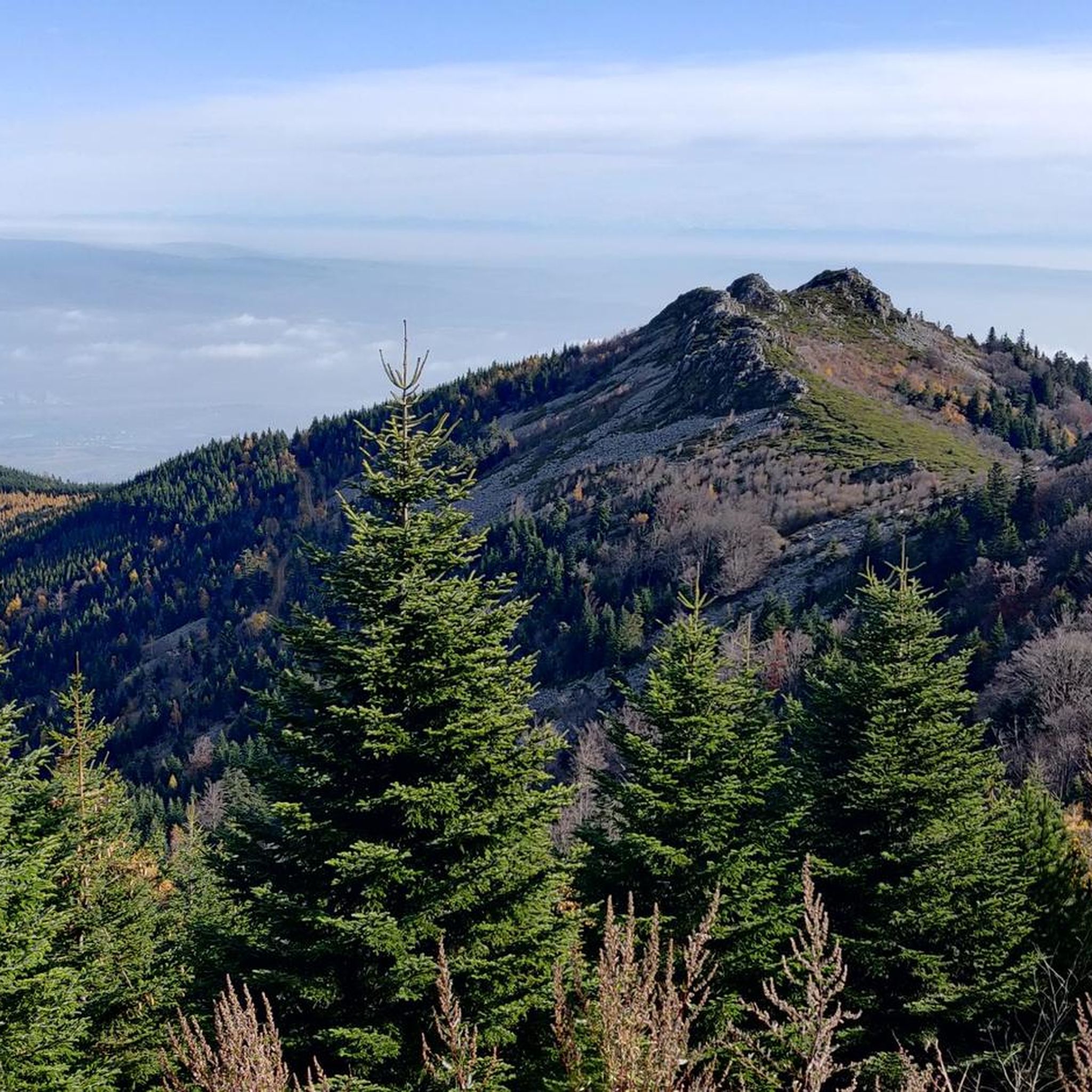
Roisey is characterized by hilly terrain and prominent crests, such as the Crêt de l'Œillon. The region's proximity to the Pilat Natural Regional Park suggests a varied natural environment, providing scenic views and challenging ascents for hikers.
Are there any family-friendly hiking options in Roisey?
Yes, Roisey offers 13 easy trails that are suitable for families. These routes typically involve up to two hours of walking with an elevation gain of up to 300 meters, making them accessible for all levels.
What are some notable landmarks or viewpoints to see on hikes around Roisey?
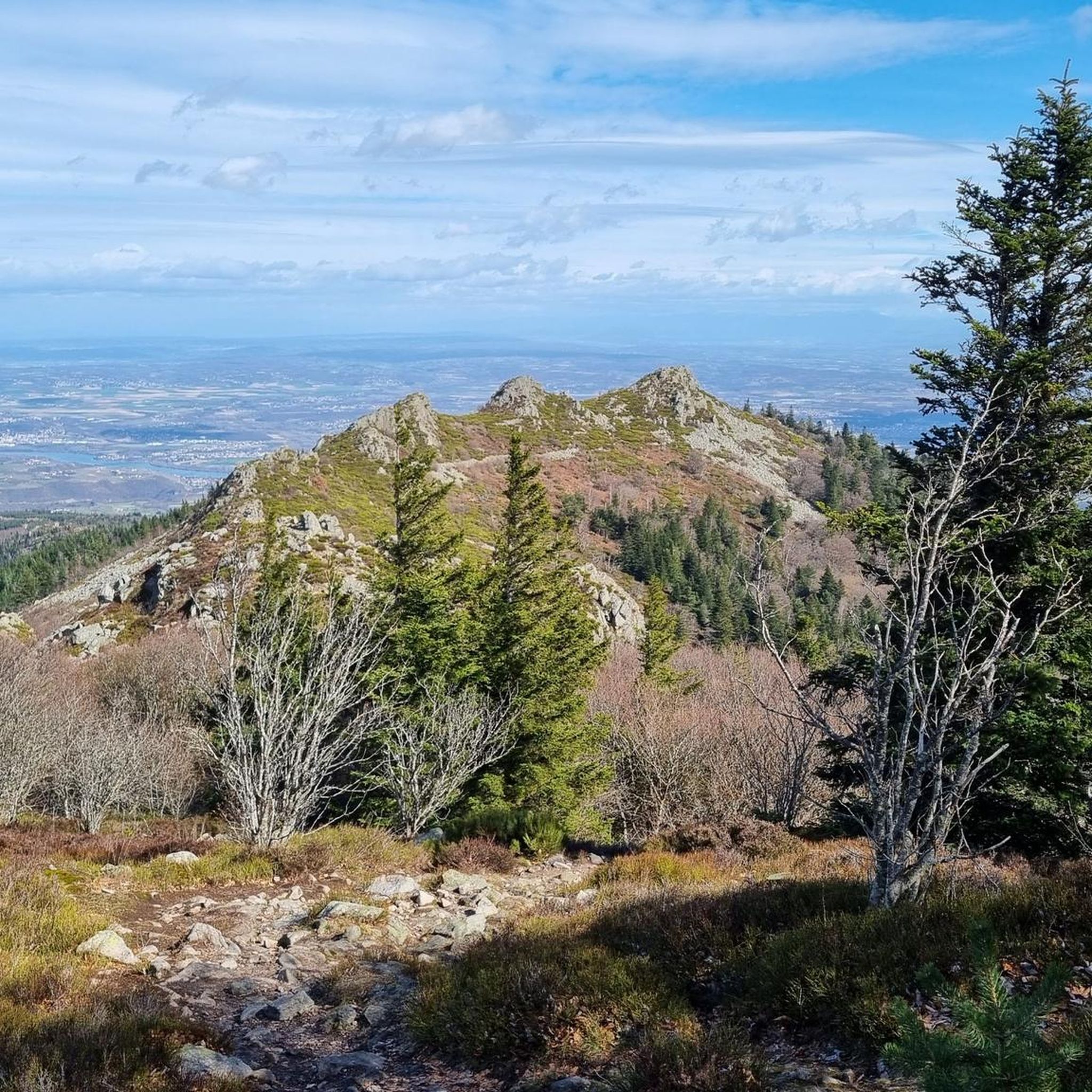
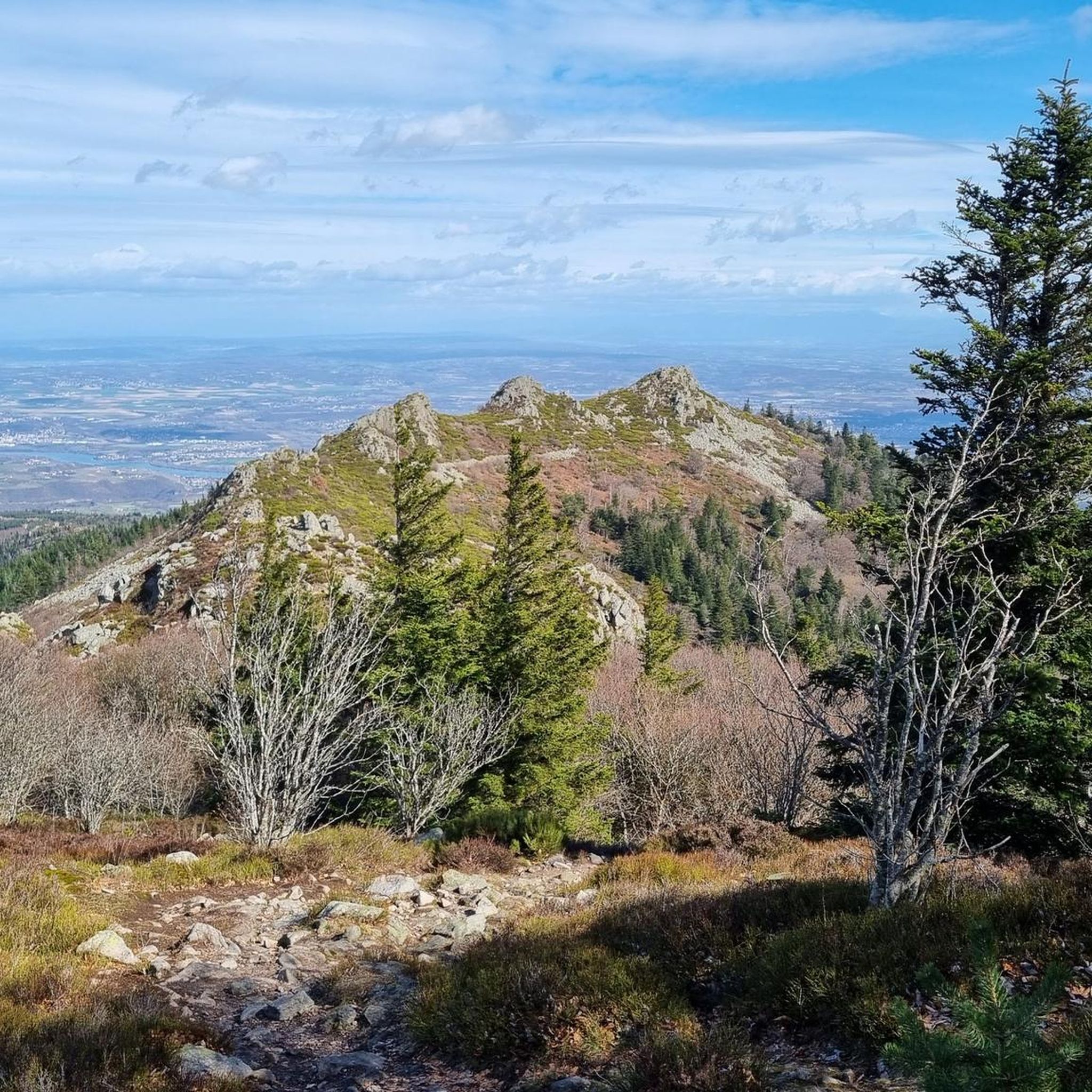
Hikers can explore several significant landmarks. The Crêt de l'Œillon is a prominent summit offering expansive views. Another notable feature is The Three Teeth, which can be seen from routes like the Col de l'Œillon (1233 m) – View of Les Trois Dents loop from Crêt de l'Œillon. The Col de l'Œillon (1233 m) itself is also a key point of interest.
Are there any circular hiking routes in the Roisey area?
Yes, several routes around Roisey are designed as loops. For example, the Pic du midi – The Three Teeth loop from Goutasson is a 9.6 km trail that offers varied terrain. Another option is the Crêt des Bessières – Superbe chemin loop from Roisey, a moderate 8.1 km route.
What is the best time of year to go hiking in Roisey?
The diverse landscape of Roisey, with its hilly terrain and proximity to the Pilat Natural Regional Park, makes it suitable for hiking across multiple seasons. While specific seasonal conditions are not detailed, the region generally offers pleasant conditions for outdoor activities, with trails ranging from easy to challenging.
What do other hikers enjoy most about hiking in Roisey?
The hiking trails around Roisey are highly rated by the komoot community, with an average score of 4.6 stars from over 1,200 reviews. Hikers often praise the varied terrain, the prominent crests, and the opportunities to explore the natural beauty of the region, including its proximity to the Pilat Natural Regional Park.
Are there any long-distance or challenging hikes around Roisey?
For very fit individuals, Roisey offers challenging trails that can exceed five hours of walking or 1,000 meters of elevation gain. An example is the Crêt de la Perdrix – Etançon Crest loop from Col de l'Œillon, which is nearly 20 km long with significant elevation gain.
What is the difficulty level of the Crêt de l'Œillon hike?
The Crêt de l'Œillon via Roisey route is considered difficult. It is a 16 km trail with a significant elevation gain of over 840 meters, typically taking around 5 hours and 27 minutes to complete.
Are there any facilities or attractions near the hiking trails?
Beyond the trails, you can find attractions like the Condrieu Suspension Bridge. The region also features various recreational parks and historical sites like Chartreuse de Sainte-Croix-en-Jarez, which could complement an outdoor activity trip.
Are there moderate hiking trails available in Roisey?
Yes, Roisey offers 6 moderate trails. These routes can involve up to five hours of walking with an elevation gain of up to 1,000 meters, requiring a good physical condition. An example is the Crêt des Bessières – Superbe chemin loop from Roisey.
Most popular attractions around Roisey

Get inspired with the komoot mobile app


Explore more
Browse the best Hikes in other regions.
