The best cycling routes around Cervières
4.6
(9)
252
riders
39
rides
Touring cycling routes around Cervières are situated in the Hautes-Alpes, a region characterized by its mountainous terrain and diverse landscapes. The village itself is at an altitude of 1620m, providing access to high-alpine environments. Key features include the ascent to Col de l'Izoard, part of the Route des Grandes Alpes, and the dramatic geological formations of Casse Déserte. The area also encompasses the Vallée des Fonts de Cervières and serves as a gateway to the Queyras Regional Natural Park, offering…
Last updated: July 2, 2026
19
riders
30.3km
02:46
680m
680m
Hard bike ride. Very good fitness required. Mostly paved surfaces. Suitable for all skill levels.
22
riders
35.7km
03:12
870m
870m
Hard bike ride. Very good fitness required. Mostly paved surfaces. Suitable for all skill levels.

Sign up for free
11
riders
27.0km
02:33
590m
590m
Hard bike ride. Very good fitness required. Mostly paved surfaces. Suitable for all skill levels.
5.0
(2)
7
riders
40.0km
02:42
610m
610m
Hard bike ride. Very good fitness required. You may need to push your bike for some segments of this route.
8
riders
39.0km
02:47
820m
820m
Hard bike ride. Very good fitness required. Mostly paved surfaces. Suitable for all skill levels.
Get access to more routes and recommendations from other explorers.
Sign up for free
Already have an account?
Our route recommendations are based on thousands of hikes, rides, and runs completed by other people on komoot.
Start today with a free account
Your next adventure awaits.
Login or Signup
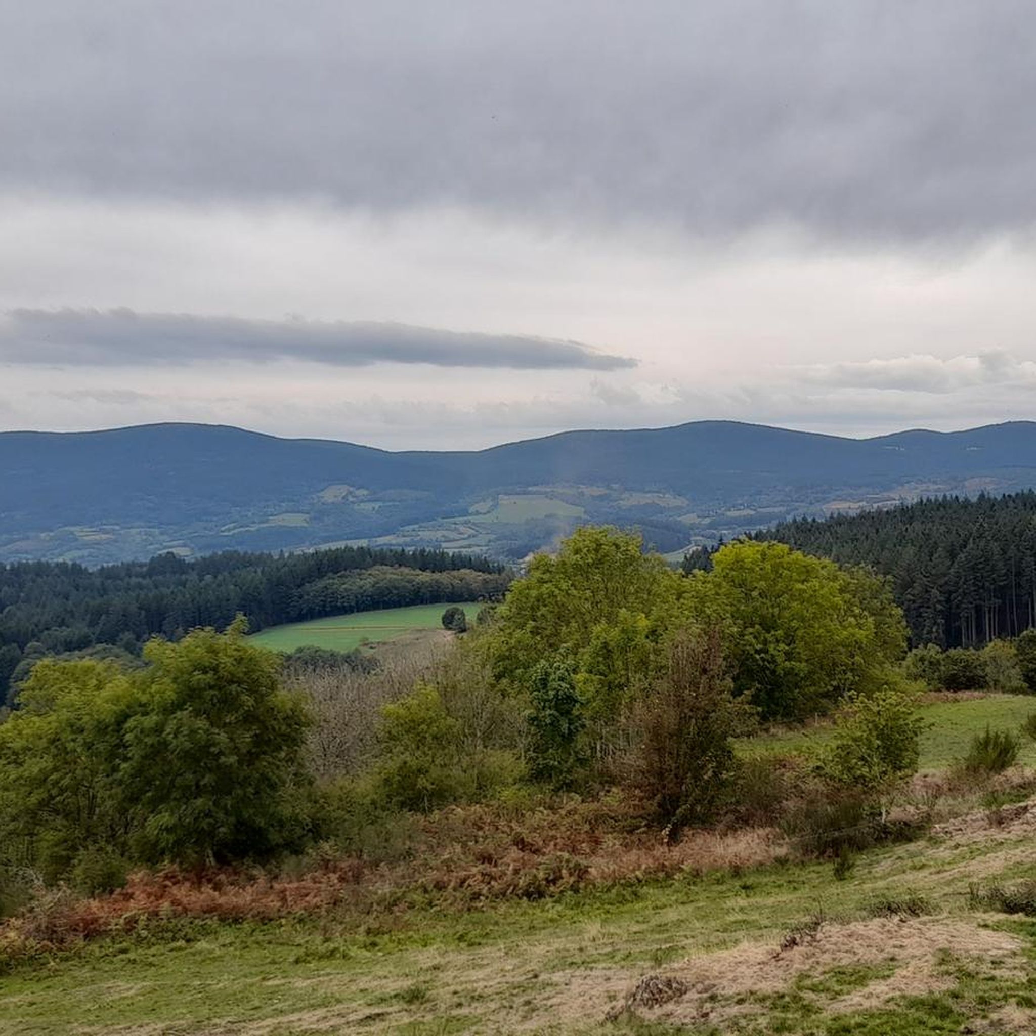
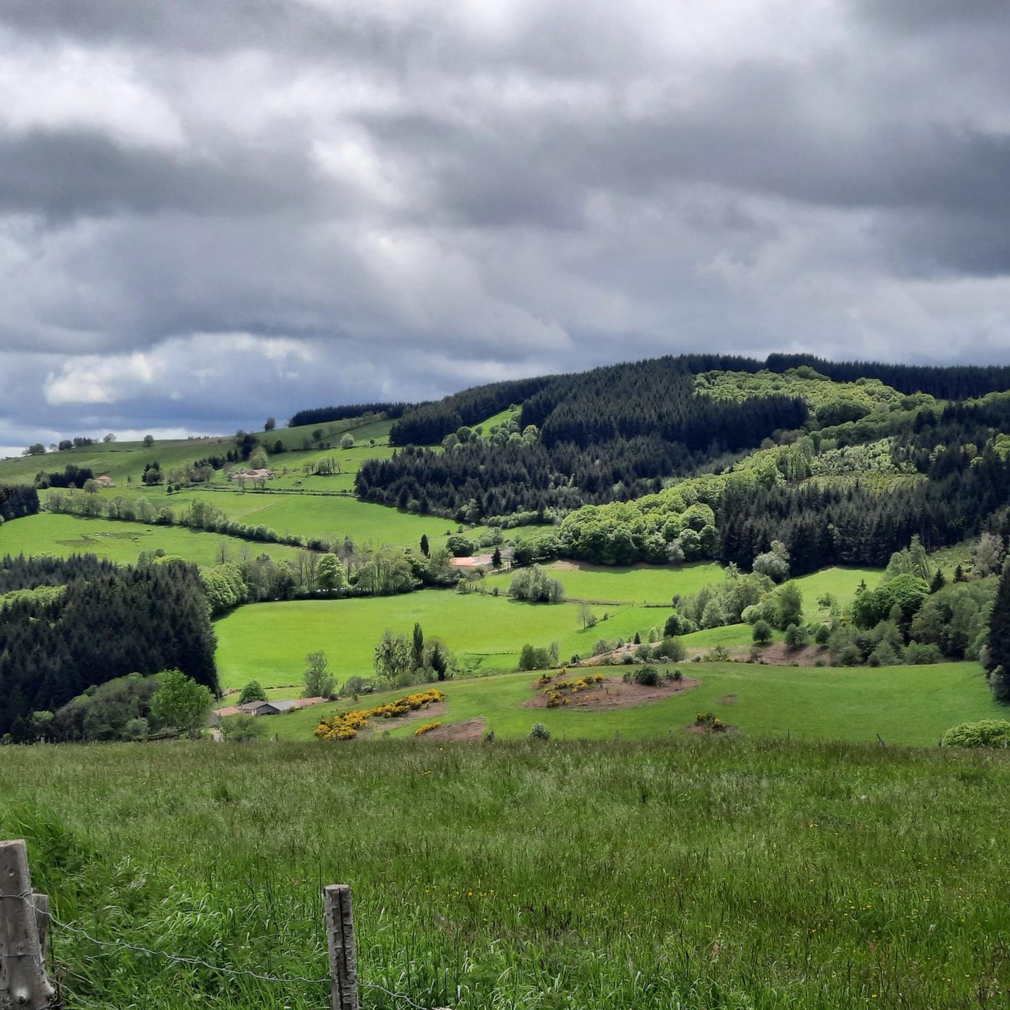
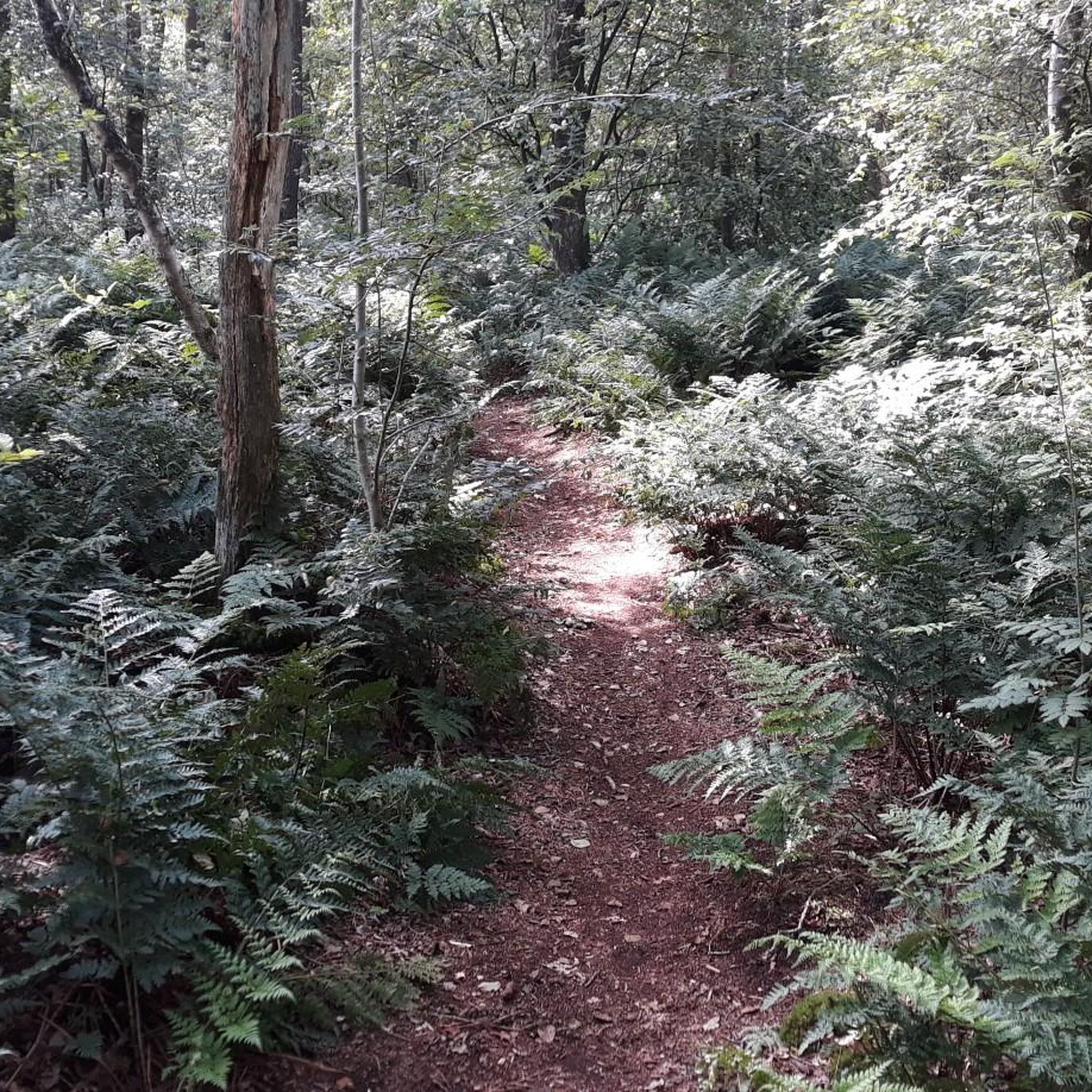

Tips from the Community

shaded picnic area
0
0

One of the most beautiful passes in Forez, a most pleasant climb whatever the slope! And the descent is also pleasant. If you are in Gravel, there is a junction which allows you to reach the Col du Béal and which is magnificent. Otherwise you can go ski touring, snowshoeing and cross-country skiing in winter or hike while stuffing yourself with blueberries in summer! Enjoy and for more advice follow us on Komoot or Instagram @chouchou_team
2
0
Great water point to cool off in the summer, swimming is often supervised. Take a look at the lifeguard cabin to check if the water is swimmable; during high temperatures bacteria can develop there. For more advice, follow us on Komoot or Instagram @chouchou_team
0
0

The Col de la Loge peaks at an altitude of 1,253 meters. In winter, it is the gateway to long and beautiful cross-country ski trails which head towards the heart of Livradois-Forez. In summer, hikers take it to enjoy the serenity of the woods that populate the surrounding area.
0
0
At the entrance to Livradois-Forez, the Col du Reculon peaks at an altitude of 1,152 meters. Very popular with cyclists, it is also popular with hikers who walk the GR 3.
1
0

great marked circuit
0
0

The Col de la Loge, located at 1,253 meters above sea level, has its own chalet-inn. It is an ideal place to stop there during your roaming. All the information can be found on the chalet's website: http://www.coldelaloge.fr/.
0
0

The La Chamba Recoil Pass is 1.7 km long with a total drop of 71 m. The average slope is 5% with maximum slopes of 10% towards the summit.
1
0
Frequently Asked Questions
How many touring cycling routes are available around Cervières?
There are over 45 touring cycling routes around Cervières, offering a wide range of options for cyclists. These routes are highly rated by the komoot community, with an average score of 4.5 stars.
What is the general difficulty level of touring cycling routes in Cervières?
The majority of touring cycling routes around Cervières are classified as difficult, with 35 out of 47 routes falling into this category. There are also 12 moderate routes, but no easy routes are listed, indicating a focus on more challenging terrain suitable for experienced cyclists.
Are there any circular touring cycling routes in the Cervières area?
Yes, many routes in the Cervières area are designed as loops. For example, the Col de la Loge (1,253 m) – Col de la Loge loop from Noirétable is a popular circular route, as is the Noirétable Lake loop from Noirétable. These loops allow you to start and finish in the same location, often providing varied scenery along the way.
What kind of landscapes can I expect to see while touring cycling around Cervières?
Cervières offers a diverse range of landscapes, from high-alpine environments and dramatic geological formations like the Casse Déserte near Col de l'Izoard, to the serene Vallée des Fonts de Cervières. You'll encounter mountain passes, alpine valleys, traditional hamlets, and the pristine natural beauty of the Queyras Regional Natural Park.
What are some notable natural features or landmarks to look out for on touring cycling routes?
Cyclists can explore several significant natural features and landmarks. The iconic Col de la Loge is a prominent mountain pass. Other natural highlights include Puy de Montoncel and Pierre Pamole, both summits offering impressive views. The region is also known for the dramatic Casse Déserte geological formation near Col de l'Izoard.
What do other touring cyclists say about the routes in Cervières?
The touring cycling routes in Cervières are highly regarded by the komoot community, holding an average rating of 4.5 stars from over 10 reviews. More than 260 touring cyclists have used komoot to explore the varied terrain, often praising the challenging climbs, scenic views, and the unique high-alpine experience.
Are there any long-distance touring cycling routes that pass through or near Cervières?
Cervières is strategically positioned on the renowned Route des Grandes Alpes, making it an excellent starting point or stopover for long-distance touring cyclists. The village itself is a direct starting point for the ascent of the legendary Col de l'Izoard, a key segment of this famous itinerary.
What is the best time of year for touring cycling in Cervières?
The best time for touring cycling in Cervières is typically during the warmer months, from late spring to early autumn. This period offers the most favorable weather conditions for tackling the high mountain passes and enjoying the diverse landscapes. Roads to passes like Col de l'Izoard are usually clear of snow during this time.
Are there any routes suitable for advanced touring cyclists seeking a significant challenge?
Absolutely. Cervières is ideal for advanced touring cyclists. Routes like the Plantade Pass – Puy de Montoncel loop from Arconsat, with its significant elevation gain, offer a substantial challenge. The region's numerous difficult routes, including the ascent to Col de l'Izoard, cater to those with very good fitness looking for demanding climbs.
Can I find routes that offer views of traditional hamlets and local wildlife?
Yes, the area around Cervières is rich in traditional mountain charm. Many routes wind through picturesque hamlets with old chalets and larch trees. Keep an eye out for local wildlife such as marmots and chamois, especially in the quieter sections and higher altitudes of areas like the Vallée des Fonts de Cervières and the Queyras Regional Natural Park.
Are there any moderate touring cycling options around Cervières?
While many routes are difficult, there are 12 moderate touring cycling routes available. An example is the Bike loop from Noirétable, which offers a less strenuous option while still allowing you to experience the region's beauty. These routes are suitable for cyclists looking for a good workout without extreme climbs.
What kind of terrain can I expect on the touring cycling routes?
The terrain around Cervières is predominantly mountainous, featuring significant elevation changes. You'll encounter winding roads, challenging ascents to high passes, and descents through alpine valleys. The routes often traverse varied surfaces, from well-maintained roads to more rugged paths, reflecting the diverse natural environment of the Hautes-Alpes.
Most popular attractions around Cervières

Get inspired with the komoot mobile app


Explore more
Browse the best Cycling routes in other regions.
