Top 10 Mountain Passes around Bourg-Bruche
Best mountain passes around Bourg-Bruche are found in the Bruche Valley, within the Vosges mountains. This region serves as a base for exploring various mountain passes. The area features diverse landscapes, including forests, alpine lawns, and peat bogs. These passes offer opportunities for outdoor activities and provide connections between valleys.
Best mountain passes around Bourg-Bruche
- The most popular mountain passes is Champ du Feu, a summit and mountain pass that is the highest point in the Bas-Rhin region at…
Last updated: June 26, 2026
Champ du Feu
Highlight • Summit
Translated by Google •
Tip by

Champ du Feu Monoliths
Highlight • Natural Monument
Translated by Google •
Tip by

Sign up now to discover places like this
Get recommendations on the best single tracks, peaks, & plenty of other exciting outdoor places.
Sign up for free
Charbonnière Pass
Highlight • Pub
Translated by Google •
Tip by

Kreuzweg Pass
Highlight • Mountain Pass
Translated by Google •
Tip by
Col de Steige
Highlight • Mountain Pass
Translated by Google •
Tip by
Sign up for free to discover even more mountain passes around Bourg-Bruche.
Sign up for free
Already have an account?
Start today with a free account
Your next adventure awaits.
Login or Signup

Tips from the Community

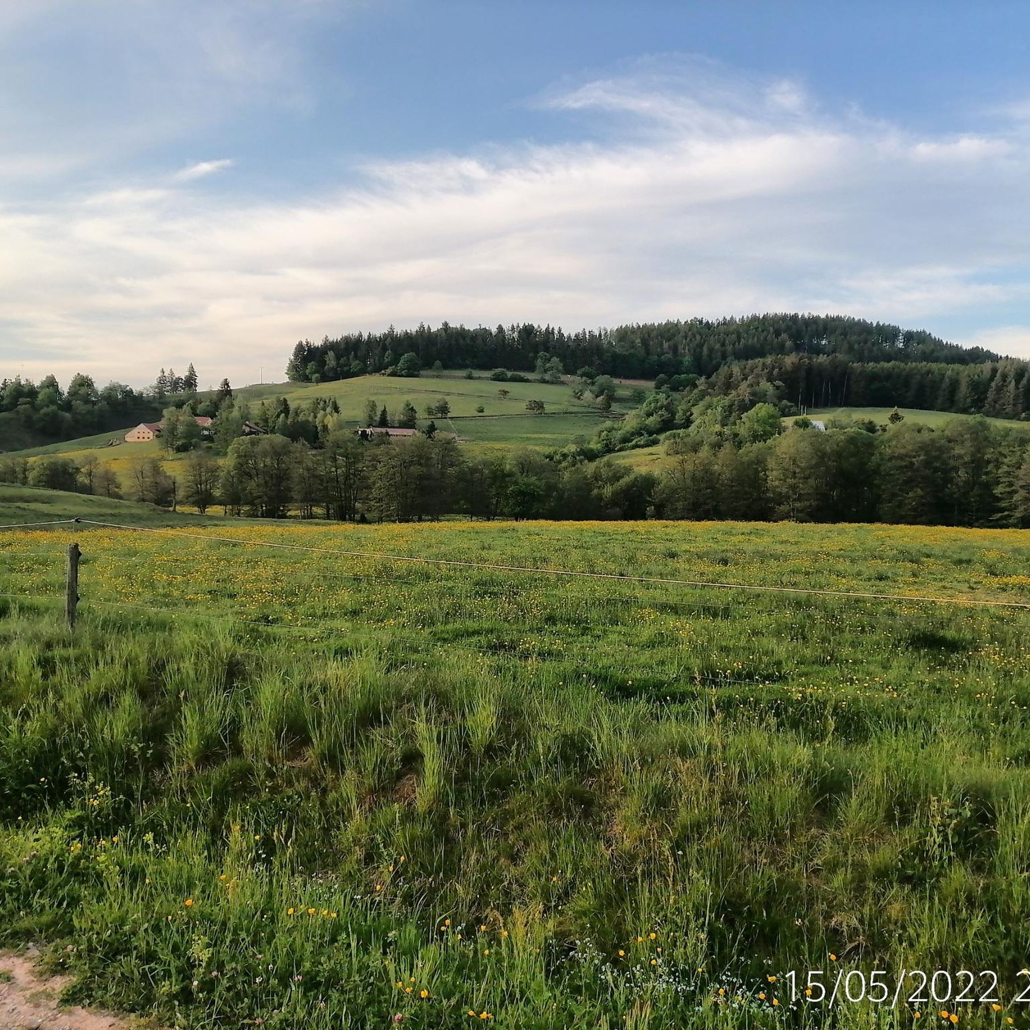
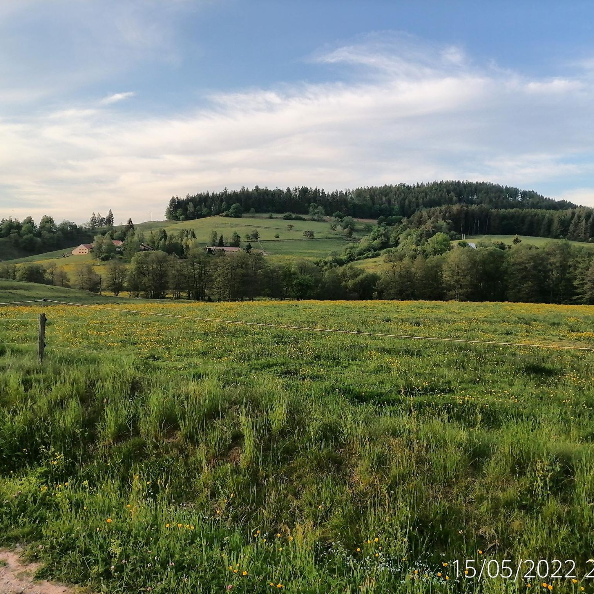
Champ du Feu, at 1099 meters, is the highest mountain in the Bas-Rhin department of the Vosges in Alsace. It is located between the villages of Belmont and Le Hohwald and consists of an extensive high plateau with forests, meadows, and moorlands. The area is a popular nature and recreational area. In summer, it is mainly used for hiking, mountain biking, and nature observation. In winter, there is a small ski resort with cross-country trails and simple slopes for winter sports. The stream La Serva originates from Champ du Feu and later forms the Cascade de la Serva. In clear weather, the summit offers wide views over the Vosges, the Rhine plain, and as far as the Black Forest. The area is particularly known for its tranquil nature, high moors, sunrises and starry skies, as well as well-marked hiking trails.
0
0


Possible origins of the name: Celtic rituals: It is believed that solstice and sacrificial fires were lit here in Celtic times. Charcoal burners' fire: The "fire" could also refer to the fires lit by charcoal burners in the surrounding forests of the Vosges Mountains. Cattle pasture: A popular theory states that the French word "feu" is a corruption of the German word "Vieh," meaning "field of cattle," as it was a sparsely wooded plateau where cattle could graze. Text from the Internet
1
0

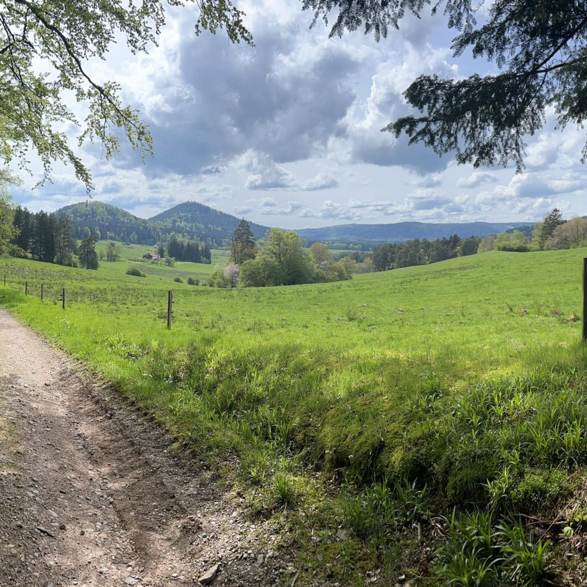
Magnificent pass to climb from different slopes (Breitenbach, Steige, Vallée de la Bruche, Andlau). It is also a crossing point towards the Champ du feu, the Hohwald, the Mont Ste Odile.
0
0

Pass culminating at 960 m altitude.
0
0

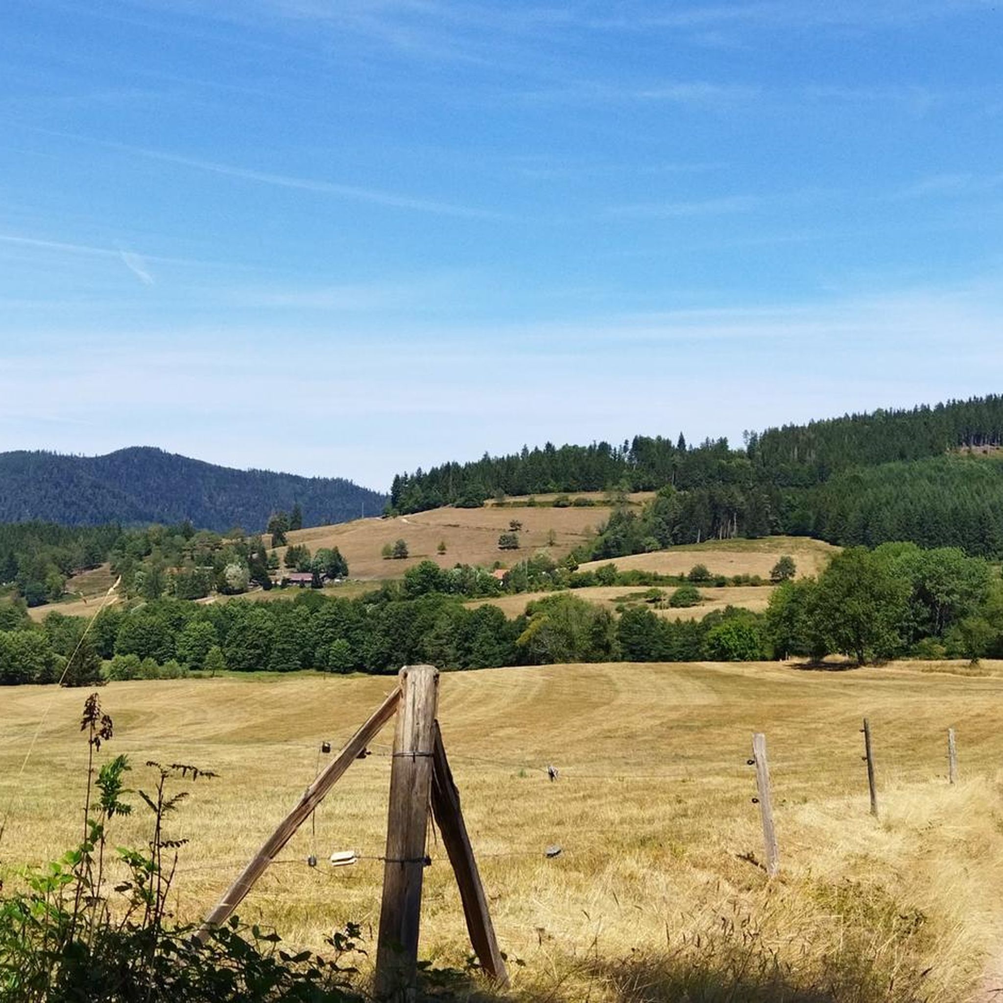
If you come from the Col de la Charbonnière, it is only a few meters uphill again and then you have already reached the top of the pass.
1
0

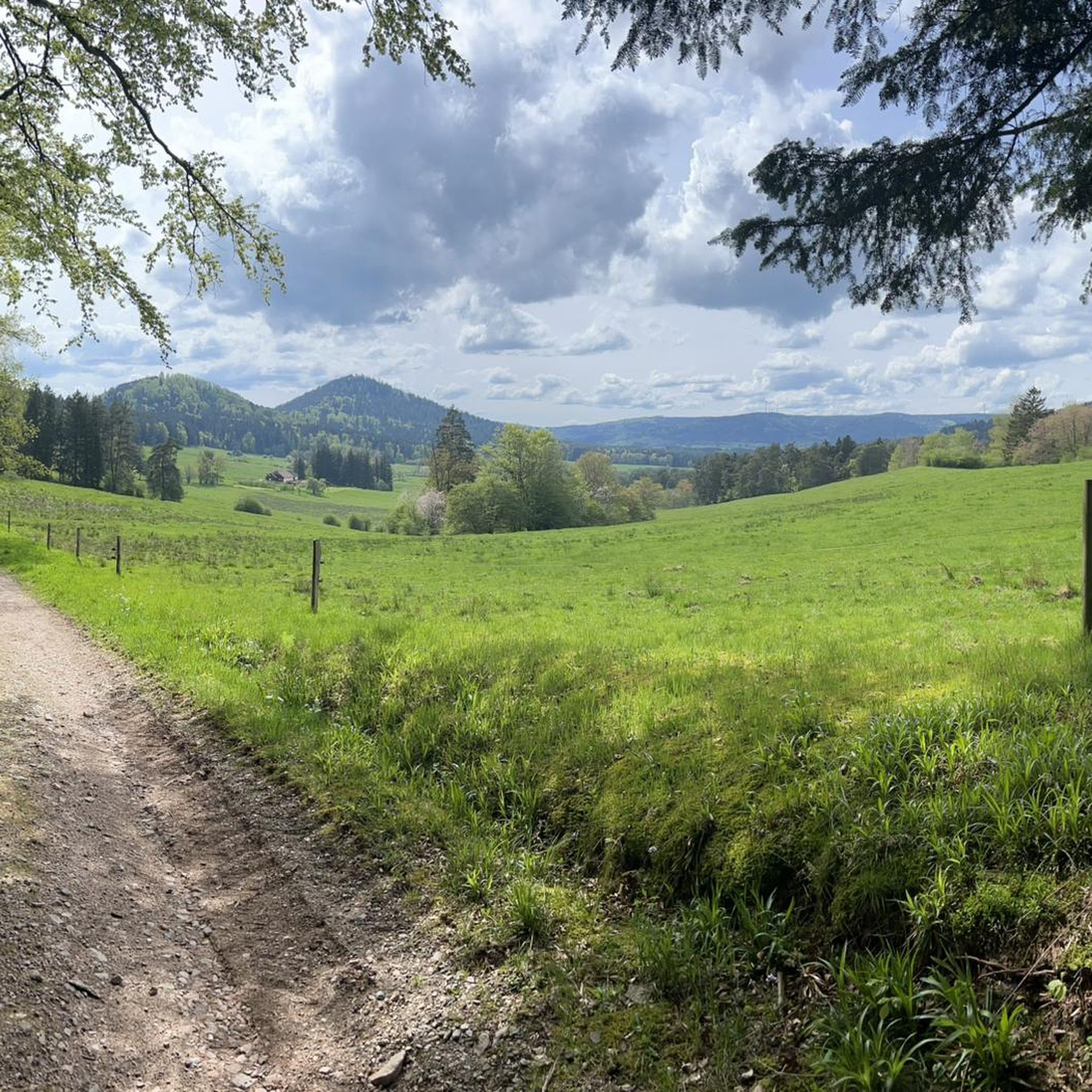
Halfway between the charming hamlet of Hohwald and the Champ du Feu station, the Kreuzweg pass offers a pleasant stopover. In the middle of the imposing forest of the massif, it offers unobstructed views at an altitude of 768 meters. It is a good place to spend the night in the mountains with the presence of two farm inns. There is also an adventure park for the enjoyment of young people.
0
0

Today the restaurant was completely full at 1 p.m. You should probably make a reservation here. TEL: +33 3 88 08 31 17
2
0
Frequently Asked Questions
What are some popular mountain passes around Bourg-Bruche and what makes them stand out?
The region offers several notable mountain passes. The Champ du Feu is the highest point in the Bas-Rhin region, offering panoramic views, winter sports, and a Natura 2000 zone. The Col de Steige is a scenic crossroads with a tranquil lake and picnic area, known for its historical significance and moderate cycling routes. The Charbonnière Pass is appreciated for its quiet forest routes, ideal for cycling and hiking, and features an auberge with a restaurant.
What kind of outdoor activities can I do near the mountain passes around Bourg-Bruche?
The mountain passes around Bourg-Bruche are excellent for various outdoor activities. You can enjoy extensive hiking, challenging road cycling, gravel biking, and mountain biking. In winter, the Champ du Feu transforms into a hub for downhill skiing, cross-country skiing, snowshoeing, and sledding.
Are there specific hiking trails near these mountain passes?
Yes, there are numerous hiking opportunities. For instance, the Col de Steige is traversed by the GR 531 long-distance hiking trail, and there's a circular route around its lake. The Champ du Feu offers various circuits, including a long snowshoeing route in winter. The Kreuzweg Pass serves as a starting point for hikes, including a route to the Cascade de l'Andlau waterfall. You can find more hiking routes in the Hiking around Bourg-Bruche guide.
What cycling opportunities do the mountain passes offer?
The mountain passes near Bourg-Bruche are very popular with cyclists, offering routes for various skill levels. The climb to Col de Steige from Saint Martin is 9.7 km long with an average gradient of 2.6%. The Champ du Feu presents a more challenging ascent, with routes from Fouday being 10.4 km long with an average gradient of 6.6%. The Charbonnière Pass also offers challenging climbs, such as an 8.5 km route from Fouday with a 6.6% average gradient. For more cycling options, explore the Gravel biking around Bourg-Bruche and MTB Trails around Bourg-Bruche guides.
Are there family-friendly mountain passes or activities in the area?
Yes, several passes offer family-friendly options. The Col de Steige has a lake with a picnic area, perfect for a relaxed stop. Near the Kreuzweg Pass, you'll find an adventure park, making it appealing for families looking for more active fun. The Charbonnière Pass also has facilities that cater to families.
What natural features can I expect to see at these mountain passes?
The mountain passes around Bourg-Bruche boast diverse natural beauty. At Champ du Feu, you'll find alpine lawns, dense forests, and unique peat bogs classified as a Natura 2000 zone. The Col de Steige features a tranquil lake. The Kreuzweg Pass is surrounded by an imposing forest and offers views, with a route leading to the 15-meter Cascade de l'Andlau waterfall.
Do any of the mountain passes have historical significance?
Yes, the Col de Steige holds historical importance, notably playing a role in 1470 during the Burgundian Wars. The Champ du Feu summit features an observation tower built in 1898 by the Club Vosgien, which stands as a historical landmark.
What is the best time of year to visit the mountain passes around Bourg-Bruche?
The best time to visit depends on your preferred activities. During warmer months (spring to autumn), the passes are ideal for hiking, cycling, and enjoying panoramic views. In winter, the Champ du Feu becomes a popular destination for winter sports like skiing and snowshoeing.
Are there places to eat or stay near the mountain passes?
Yes, you can find options for refreshment and accommodation. The Charbonnière Pass has an auberge with a restaurant. Additionally, the area around Col du Kreuzweg features farm inns for overnight stays. It's advisable to check availability and make reservations, especially for popular spots.
What do visitors enjoy most about the mountain passes around Bourg-Bruche?
Visitors particularly enjoy the stunning panoramic views, especially from Champ du Feu, which can extend to the Bernese Alps on clear days. The diverse landscapes, from dense forests to alpine lawns and peat bogs, are also highly appreciated. Cyclists value the challenging yet scenic routes, while hikers enjoy the tranquil trails and natural beauty. The peaceful picnic spots, like the one at Col de Steige, are also a highlight.
Is the Salcée Pass worth visiting, and what are its characteristics?
The Salcée Pass is a smaller pass that serves as a transition point between other major passes like Col d'Urbeis and Col de Steige. From Bourg-Bruche, it's a 3.3 km climb with an average gradient of 2.9%. It's often chosen by cyclists as part of a longer route, offering a less strenuous ascent compared to some of the more challenging passes in the region.
Are there any less crowded or 'hidden gem' mountain passes in the area?
While the main passes are popular, some sections of routes, particularly around Col de la Charbonnière, can offer a tranquil experience away from heavy traffic, especially during off-peak seasons. Smaller passes like the Salcée Pass also tend to be less crowded, providing a quieter connection between larger routes.
Most popular routes around Bourg-Bruche
Most popular attractions around Bourg-Bruche

Get inspired with the komoot mobile app


Explore more
See even more epic mountain passes by checking out these guides around Bourg-Bruche:
