The best running trails around Ennemain
4.7
(8)
577
runners
61
runs
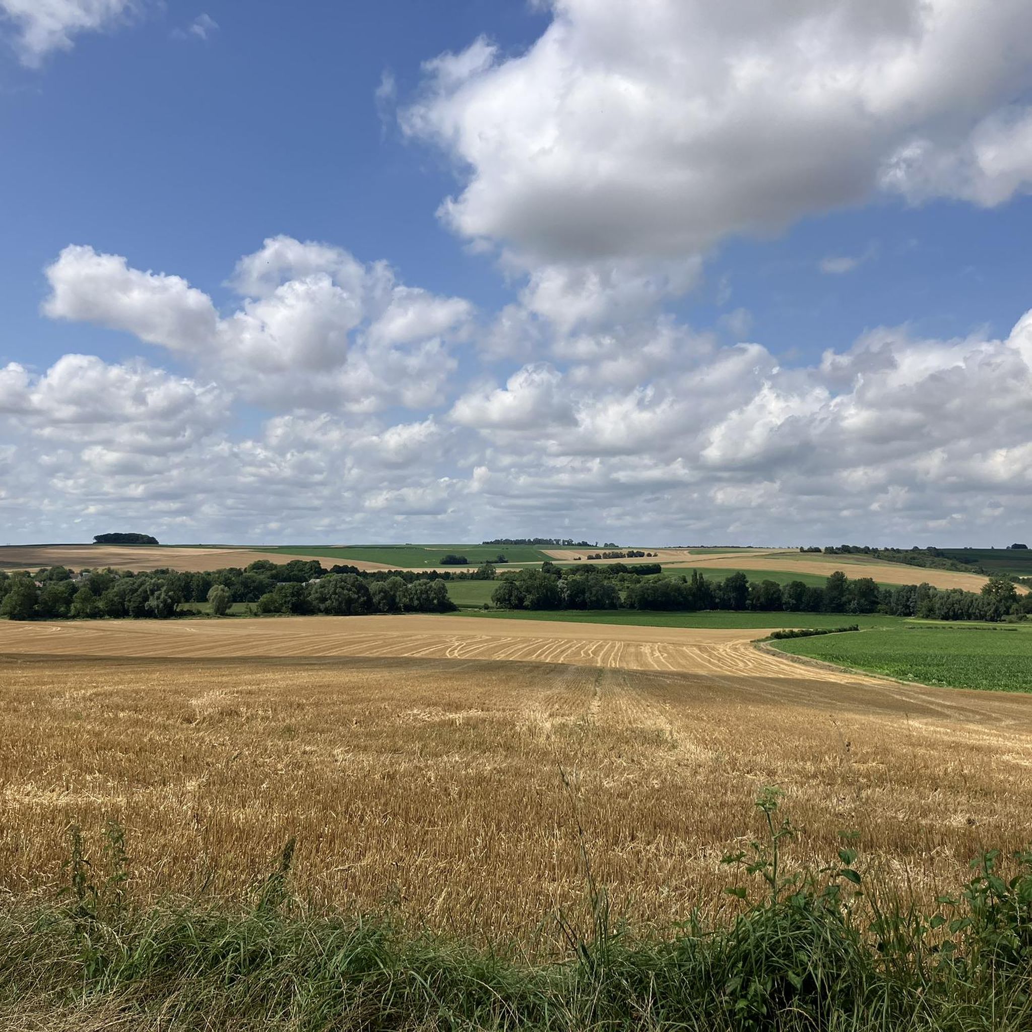
Jogging routes Ennemain offer diverse terrain within the Somme department of Hauts-de-France, characterized by the picturesque Somme Valley. The region features a landscape of marshes, rivers, and peat bogs, forming one of Europe's largest peat complexes. Runners can explore varied natural settings, including "larris" (limestone-rich hills) that provide elevated viewpoints, alongside accessible forests and reserves.
Best jogging routes around Ennemain
- The most popular jogging route is Bridge loop from Éterpigny, a 6.8 miles (11.0 km) trail that takes 1…
Last updated: October 12, 2026
11
runners
11.1km
01:09
30m
30m
Moderate run. Good fitness required. Mostly paved surfaces. Suitable for all skill levels.
7
runners
43.8km
04:41
270m
270m
Hard run. Very good fitness required. Sure-footedness, sturdy shoes and alpine experience required.

6
runners
8.85km
01:00
40m
40m
Moderate run. Good fitness required. Mostly paved surfaces. Suitable for all skill levels.
7
runners
6.05km
00:37
10m
10m
Moderate run. Good fitness required. Mostly paved surfaces. Suitable for all skill levels.
4
runners
11.3km
01:10
40m
40m
Moderate run. Good fitness required. Mostly paved surfaces. Suitable for all skill levels.
Get access to more routes and recommendations from other explorers.
Already have an account?
Our route recommendations are based on thousands of hikes, rides, and runs completed by other people on komoot.
Start today with a free account
Your next adventure awaits.



Tips from the Community

Welcome to Eclusier-Vaux, a municipality in the Somme with 85 inhabitants.
15
0
viewpoint la Montagne de Frise
14
0

There are several small locks with benches to view them well
5
0
A small error in the trail markings (my screenshot of the map) leads us onto private, fenced property. Go down the road to find some stairs on the right.
0
0
Also a bicycle repair and electric bike charging point
0
0

The museum covers the period of the First World War in all its aspects: military, social, cultural.
0
0

Frequently Asked Questions
How many running routes are available around Ennemain?
There are over 50 running routes around Ennemain, offering a wide variety of distances and difficulty levels to suit all preferences. The komoot community has explored these trails extensively, with more than 400 runners using the platform to discover the region's diverse terrain.
What kind of terrain and scenery can I expect on the jogging routes near Ennemain?
The routes around Ennemain are characterized by the picturesque Somme Valley, featuring a diverse landscape of marshes, rivers, and peat bogs. You'll find varied natural settings, including 'larris' (limestone-rich hills) that provide elevated viewpoints, as well as accessible forests and nature reserves like the Réserve naturelle des Marais d'Isle and the Forêt de Laigue. Many routes offer scenic views over the valley and its waterways.
Are there easy running routes suitable for beginners or families in Ennemain?
Yes, Ennemain offers several easy running routes perfect for beginners or a relaxed family jog. While most routes are moderate, there are at least 3 easy trails available. These routes typically feature gentler terrain and shorter distances, allowing for an enjoyable experience without significant challenge.
Are there any challenging running trails for experienced runners?
Absolutely. For experienced runners seeking a challenge, Ennemain offers several difficult routes. One notable option is the Frise Viewpoint – Frise Lock loop from Villers-Carbonnel, a demanding 27.3-mile (44.0 km) path with significant elevation gain and panoramic views over the valley.
Are there any circular running routes around Ennemain?
Yes, many of the running routes around Ennemain are circular, allowing you to start and finish at the same point. For example, the popular Bridge loop from Éterpigny is a 6.8-mile (11.0 km) circular trail offering views of local waterways. Another option is the Running loop from Mesnil-Saint-Nicaise, which takes you through rural landscapes.
What historical landmarks or attractions can I see near the running routes?
While jogging, you can explore the rich history of the Somme region. Nearby attractions include the impressive Château de Péronne and the Historial of the Great War – Château de Péronne, located just 10 km from Ennemain. The broader Somme area also features the 'Circuit du Souvenir' (Remembrance Circuit), offering historically rich paths connecting towns like Albert and Péronne.
Is it possible to bring dogs on the running trails in the Ennemain area?
Many outdoor trails in France are dog-friendly, especially if your dog is kept on a leash. While specific regulations for every trail around Ennemain are not detailed, it's generally advisable to keep your dog under control and clean up after them to ensure a pleasant experience for all users and to protect the local wildlife in natural areas like the Somme Valley.
What do other runners say about the jogging routes in Ennemain?
The running routes in Ennemain are highly rated by the komoot community, with an average score of 4.7 stars from 7 reviews. Runners often praise the varied terrain, the scenic views over the Somme Valley, and the opportunity to explore the region's unique natural features like marshes and peat bogs.
Are there any routes that follow the Somme Valley or its waterways?
Yes, the Somme Valley is a defining feature of the region, and many running routes incorporate its rivers and marshes. The Bridge loop from Éterpigny, for instance, offers direct views of the local waterways. The region's landscape of marshes, rivers, and peat bogs provides a unique backdrop for your run, and you might even encounter sections of the Canal du Nord or the Somme Valley Cycle Path.
What is the best time of year to go running in Ennemain?
The Somme region offers pleasant running conditions for much of the year. Spring and autumn provide mild temperatures and beautiful scenery as the landscape changes. Summer can be warm, but the proximity to waterways and shaded forest paths can offer some relief. Winter running is also possible, though trails might be muddy or frosty, especially in the marshy areas.
Are there any specific viewpoints or scenic spots along the running trails?
Yes, the region is known for its 'belvederes' – viewpoints perched atop 'larris' (limestone-rich hills) – which offer breathtaking panoramic views over the valley, its ponds, and marshes. The Frise Viewpoint – Frise Lock loop from Villers-Carbonnel is specifically highlighted for its panoramic views.
Where can I find parking for the running trails in Ennemain?
While specific parking details for every trailhead are not provided, most villages and popular starting points for routes, such as Éterpigny, Villers-Carbonnel, Mesnil-Saint-Nicaise, Doingt, and Rouy-le-Petit, typically offer public parking facilities. It's advisable to check local signage upon arrival or use komoot's route planner for specific parking suggestions near your chosen starting point.
Is public transport available to access the running routes around Ennemain?
Ennemain is a smaller locality, so direct public transport to every trailhead might be limited. However, towns like Péronne (10 km away) and Albert have better public transport connections. From these towns, you might be able to access some routes or use local taxi services to reach specific starting points. For broader regional travel information, you might consult local transport authorities.
Most popular attractions around Ennemain

Get inspired with the komoot mobile app


Explore more
Browse the best Running Trails & Routes in other regions.
