The best walks and hikes around Montboillon
4.6
(56)
453
hikers
77
hikes
Hiking around Montboillon offers diverse landscapes within the Bourgogne-Franche-Comté region of eastern France. The area features varied topography, with elevations ranging from 218 to 372 meters, providing a mix of gentle inclines and local woodlands. Hikers can explore a blend of natural features, including forests and ponds, alongside historical attractions like wash houses and châteaux. This setting provides accessible options for various skill levels, making it suitable for outdoor enthusiasts.
Best hiking trails around Montboillon
- The most popular hiking route…
Last updated: July 6, 2026
4.8
(5)
25
hikers
12.1km
03:33
330m
330m
Moderate hike. Good fitness required. Easily-accessible paths. Suitable for all skill levels.
5.0
(3)
13
hikers
5.76km
01:33
70m
70m
Easy hike. Great for any fitness level. Easily-accessible paths. Suitable for all skill levels.

Sign up for free
4.0
(3)
14
hikers
8.38km
02:12
70m
70m
Moderate hike. Good fitness required. Easily-accessible paths. Suitable for all skill levels.
5.0
(1)
7
hikers
5.46km
01:26
50m
50m
Easy hike. Great for any fitness level. Easily-accessible paths. Suitable for all skill levels.
4.0
(2)
4
hikers
11.6km
03:00
70m
70m
Moderate hike. Good fitness required. Easily-accessible paths. Suitable for all skill levels.
Get access to more routes and recommendations from other explorers.
Sign up for free
Already have an account?
Our route recommendations are based on thousands of hikes, rides, and runs completed by other people on komoot.
Start today with a free account
Your next adventure awaits.
Login or Signup


Tips from the Community

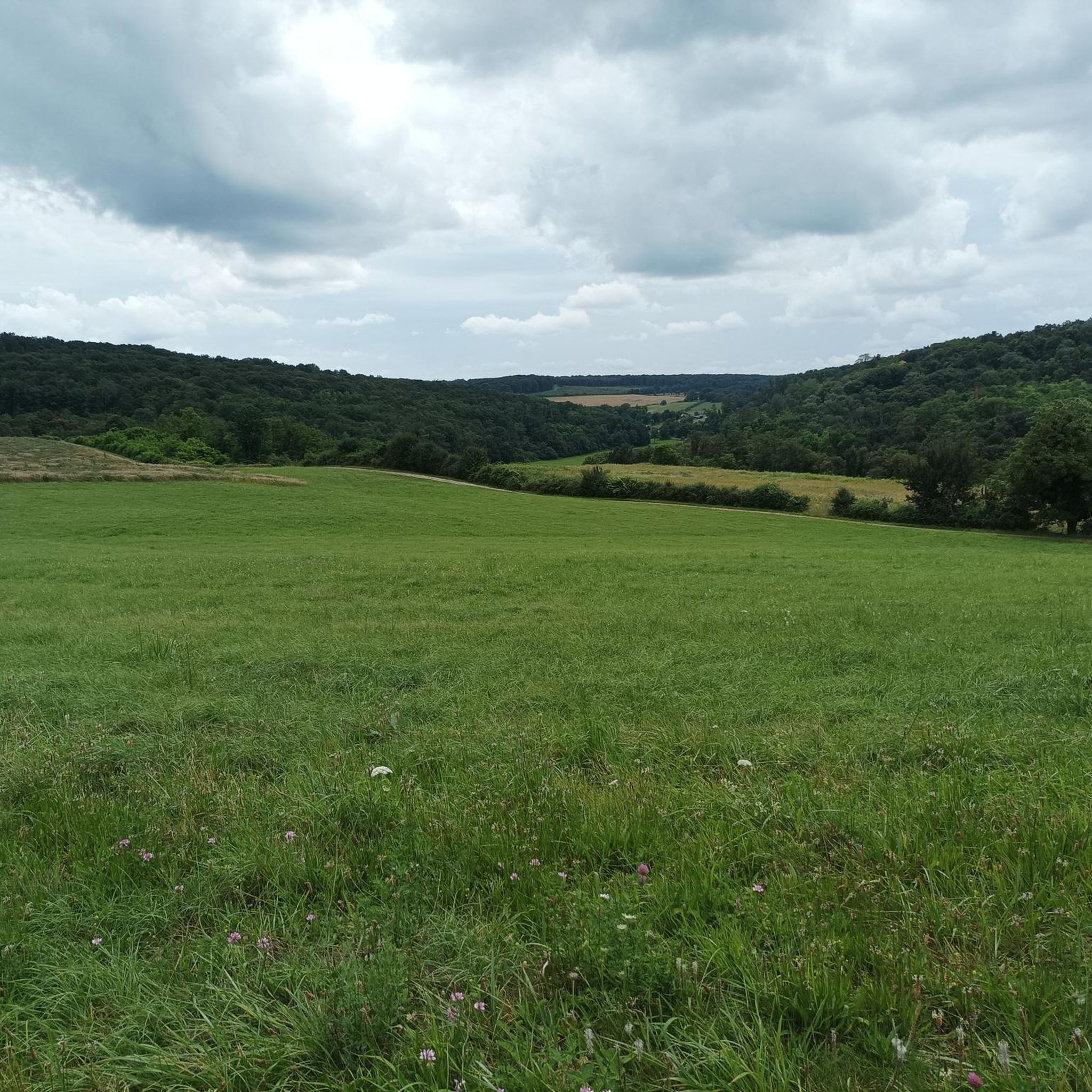
The Vincent Cheviet vineyard stretches across the sunny slopes of the Monts de Gy. Replanted in 1999, it continues the local winemaking tradition with grape varieties such as Chardonnay and Pinot Noir.
0
0

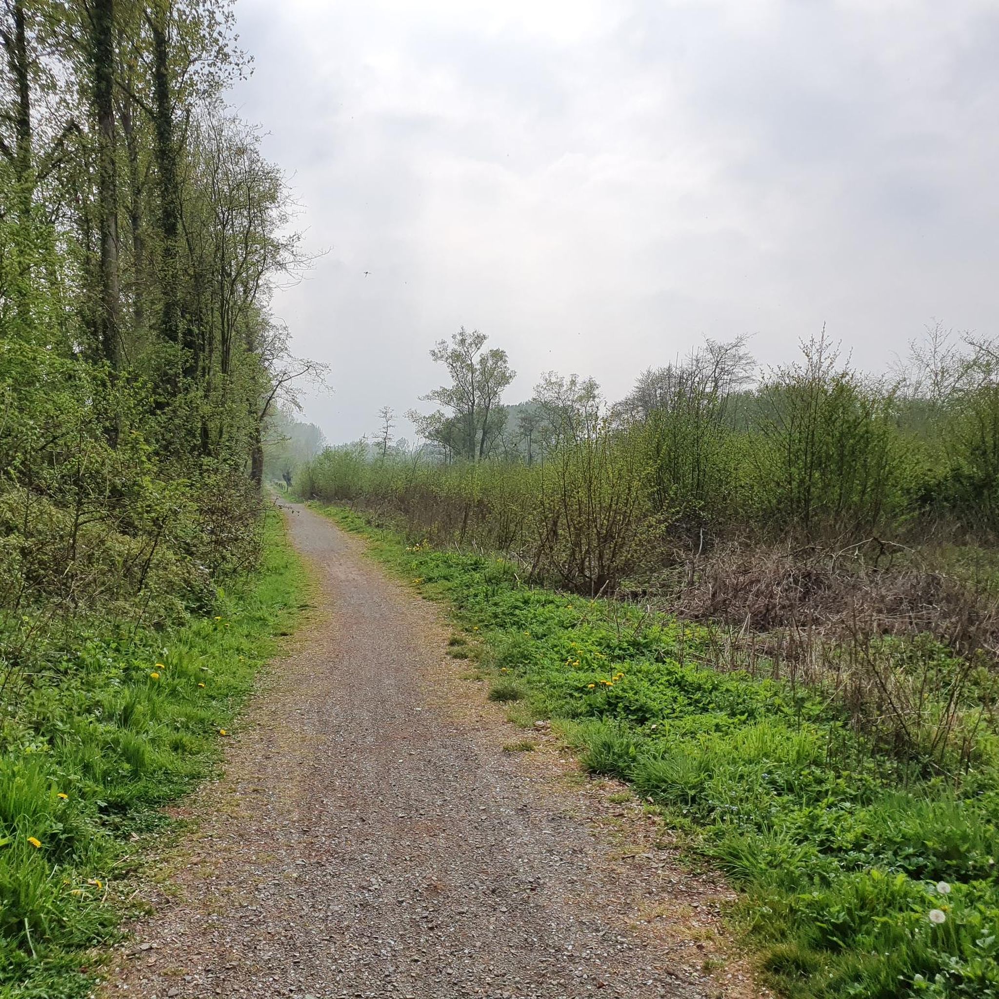
This dirt path crosses limestone lawns. During the flowering season, the landscape takes on a yellow hue.
0
0
The Pelouses Trail, near Bucey-lès-Gy, crosses a landscape of limestone grasslands typical of the region. This open environment is home to rare and protected flora, including several wild orchids.
1
0

Water hole in a deep oak forest.
0
0

The Aurêtre pond is located north of Besançon in the commune of Geneuille. It presents a pretty bucolic setting when nature is in bloom.
0
0

Magnificent corner where nature takes over these rights little by little.
0
0
Frequently Asked Questions
How many hiking trails are available around Montboillon?
There are over 85 hiking trails around Montboillon, offering a wide range of options for different skill levels. The komoot community has explored these varied routes over 400 times.
What kind of terrain and difficulty can I expect on hikes near Montboillon?
The terrain around Montboillon features varied topography, with elevations ranging from 218 to 372 meters. You'll find a mix of gentle inclines and local woodlands. The trails offer options for easy, moderate, and difficult ability levels, with the majority being easy or moderate. There are 27 easy, 58 moderate, and 2 difficult trails.
Are there any interesting landmarks or natural features to see along the hiking trails?
Yes, the region blends natural beauty with historical sites. You can discover natural landmarks like Le Vieux Tilleul, an ancient linden tree in the nearby Chailluz Forest. Historical structures such as The large washhouse-trough in Geneuille and the Fountain and Washhouses in Etuz offer glimpses into local heritage. You might also encounter the Fortified manor of Sorans-lès-Breurey.
Are there any circular hiking routes in the Montboillon area?
Yes, many of the trails around Montboillon are circular, allowing you to start and end at the same point. For example, the Aurêtre Pond loop from Cussey-sur-l'Ognon is a popular moderate route that winds around a scenic pond and through woodlands. Another option is the Goule de Captiot loop from Fontenelay.
What do other hikers enjoy most about hiking in Montboillon?
The area is highly rated by the komoot community, with an average score of 4.6 stars from over 50 reviews. Hikers often praise the diverse landscapes, the blend of natural and historical attractions, and the accessibility of trails for various skill levels.
Are there family-friendly hiking options near Montboillon?
Yes, Montboillon offers accessible options suitable for families. Many trails feature gentle inclines and traverse local woodlands, providing a pleasant experience for all ages. The Coin relaxant loop from Boulot is an easy, shorter trail perfect for a relaxing family outing.
Can I bring my dog on the hiking trails around Montboillon?
Generally, dogs are welcome on many hiking trails in the Bourgogne-Franche-Comté region, but it's always best to keep them on a leash, especially in nature reserves or near livestock. Specific regulations can vary, so check local signage for any restrictions on individual routes.
What is the best time of year to go hiking in Montboillon?
The Bourgogne-Franche-Comté region generally offers pleasant hiking conditions from spring through autumn. Spring brings blooming flora, while autumn showcases vibrant fall foliage. Summers are typically warm, ideal for early morning or late afternoon hikes. Winters can be cold, but some trails may still be accessible for those prepared for cooler weather.
Are there any trails that pass by historical sites or châteaux?
Yes, some routes incorporate historical elements. The Château de Vregille loop from Chambornay-lès-Pin leads through the local countryside and past historical sites, including the château itself. Another option is the Château de Gezier loop from Chambornay-lès-Pin.
Are there facilities like cafes or accommodation near the hiking trails in Montboillon?
Montboillon is a small commune, but the broader Bourgogne-Franche-Comté region offers various amenities. While specific cafes directly on trailheads might be limited, you can find accommodation and dining options in nearby villages and towns. It's advisable to check in advance for services along your chosen route.
How can I find parking for hiking trails in Montboillon?
Many trailheads in the region, especially those starting from villages, typically have designated parking areas. For specific routes, it's recommended to check the komoot tour details for information on starting points and available parking facilities near the trailhead.
Is public transport available to reach hiking trailheads around Montboillon?
Public transport options in rural areas like Montboillon can be limited. While some regional bus services might connect larger towns, reaching specific trailheads often requires a car. For detailed information on public transport, it's best to consult local transport authorities or plan your route with a personal vehicle.
Most popular routes around Montboillon
Most popular attractions around Montboillon

Get inspired with the komoot mobile app


Explore more
Browse the best Hikes in other regions.
