Top 8 Mountain Passes around Kolrein
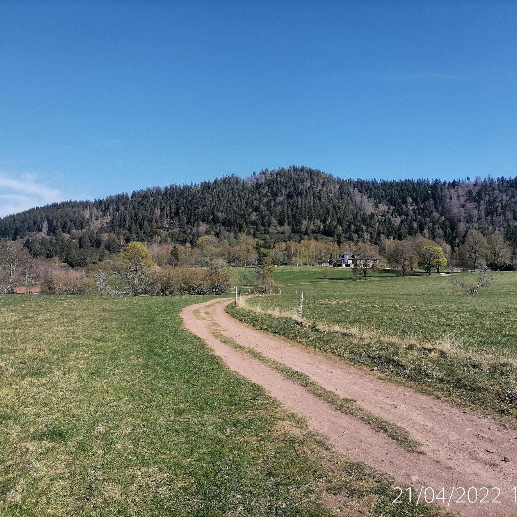
Mountain passes around Kolrein offer a diverse landscape for outdoor activities. This mountainous region features dense forests, panoramic viewpoints, and varying terrain suitable for both hiking and cycling. The area is characterized by its network of passes, some with gentle gradients and others with steeper climbs. Visitors can explore natural features and find facilities like pubs and restaurants along various routes.
Best mountain passes around Kolrein
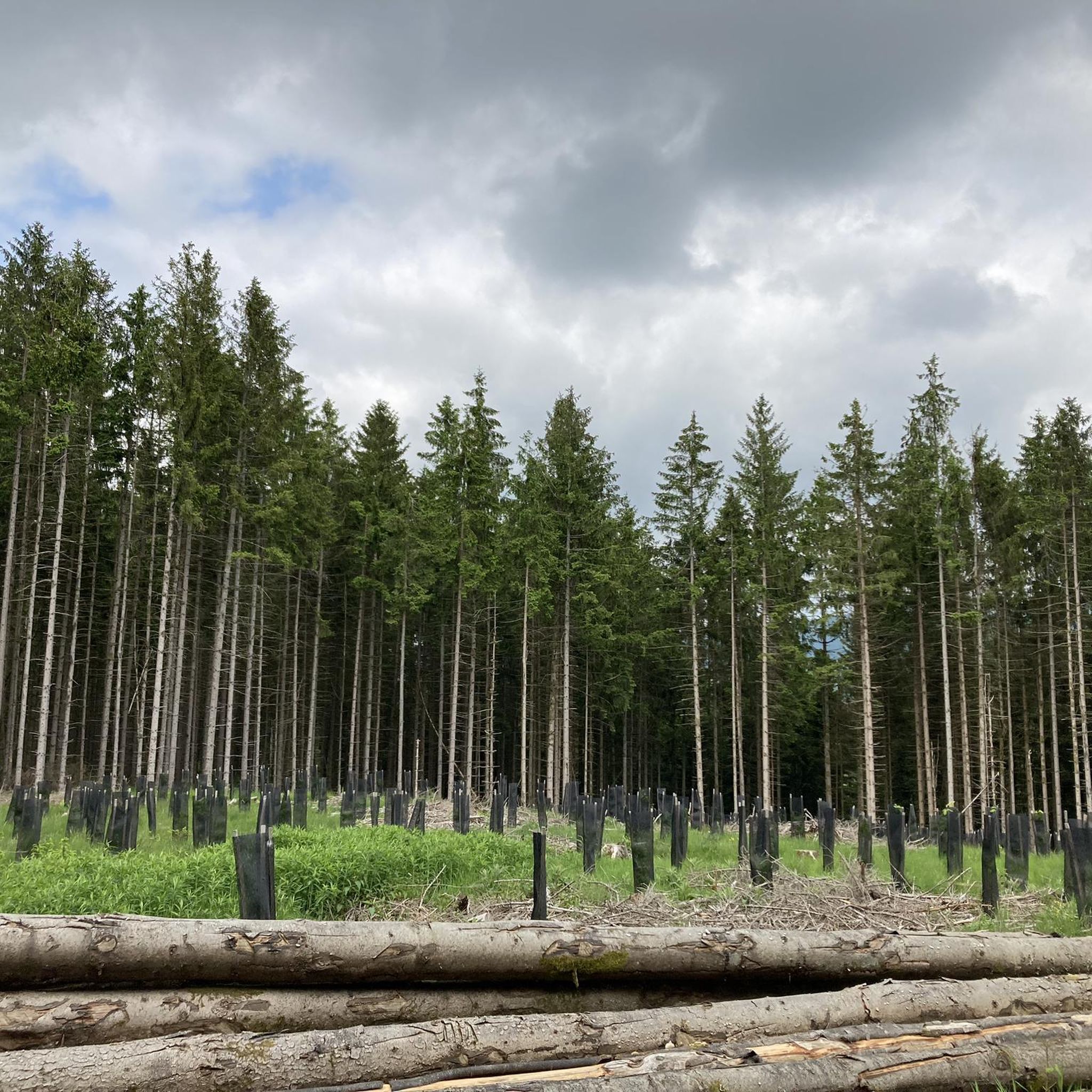
- The most popular mountain pass is Champ du Feu, a summit and mountain pass that offers panoramic views and dense forests. It is a popular destination for cycling and enjoying nature, featuring a lookout tower built in 1898.
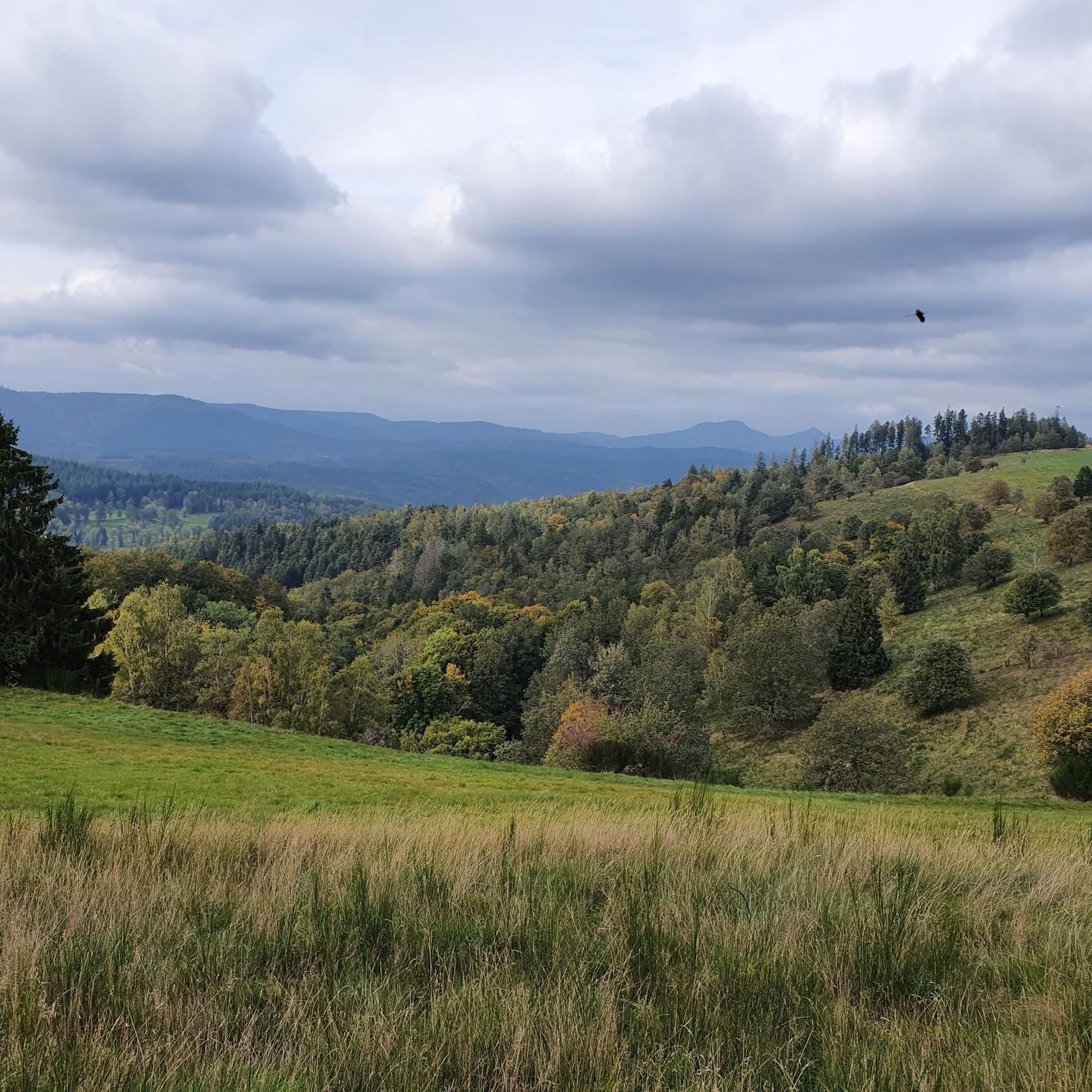
- Another must-see spot is Col de Steige, a mountain pass with a scenic location and a small lake nearby. This pass is 9.7 km long from Saint Martin, with an average gradient of 2.57%.
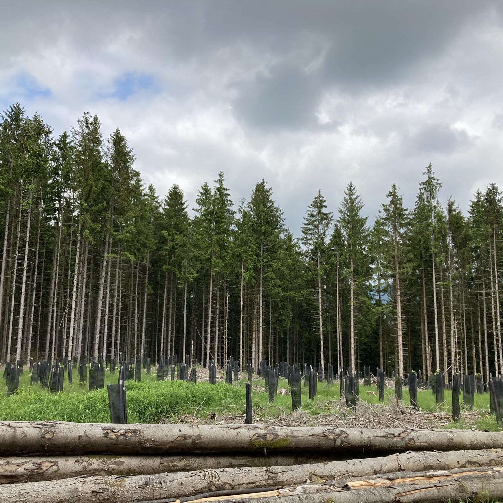
- Visitors also love Kreuzweg Pass, a mountain pass through a forest with a beautiful view. This pass is 13 km long with a total drop of 548 m, featuring maximum gradients of 12%.
- Kolrein is known for its variety of mountain passes, including intermediate climbs, forested routes, and passes with facilities like pubs and cafes. The region offers a range of terrain and elevation difficulty for different outdoor pursuits.
- The mountain passes around Kolrein are appreciated by the komoot community, with more than 300 upvotes and over 120 photos contributed by users.
Last updated: July 10, 2026
Champ du Feu
Highlight • Summit
Translated by Google •
Tip by

Charbonnière Pass
Highlight • Pub
Translated by Google •
Tip by

Sign up now to discover places like this
Get recommendations on the best single tracks, peaks, & plenty of other exciting outdoor places.
Sign up for free
Kreuzweg Pass
Highlight • Mountain Pass
Translated by Google •
Tip by
Col de Steige
Highlight • Mountain Pass
Translated by Google •
Tip by
Salcée Pass
Highlight • Mountain Pass
Translated by Google •
Tip by
Sign up for free to discover even more mountain passes around Kolrein.
Sign up for free
Already have an account?
Start today with a free account
Your next adventure awaits.
Login or Signup

Tips from the Community


Magnificent pass to climb from different slopes (Breitenbach, Steige, Vallée de la Bruche, Andlau). It is also a crossing point towards the Champ du feu, the Hohwald, the Mont Ste Odile.
0
0

Pass culminating at 960 m altitude.
0
0

If you come from the Col de la Charbonnière, it is only a few meters uphill again and then you have already reached the top of the pass.
1
0

Halfway between the charming hamlet of Hohwald and the Champ du Feu station, the Kreuzweg pass offers a pleasant stopover. In the middle of the imposing forest of the massif, it offers unobstructed views at an altitude of 768 meters. It is a good place to spend the night in the mountains with the presence of two farm inns. There is also an adventure park for the enjoyment of young people.
0
0

Today the restaurant was completely full at 1 p.m. You should probably make a reservation here. TEL: +33 3 88 08 31 17
2
0

Once at the top, it's a different world with stunning views of the valleys!
2
0

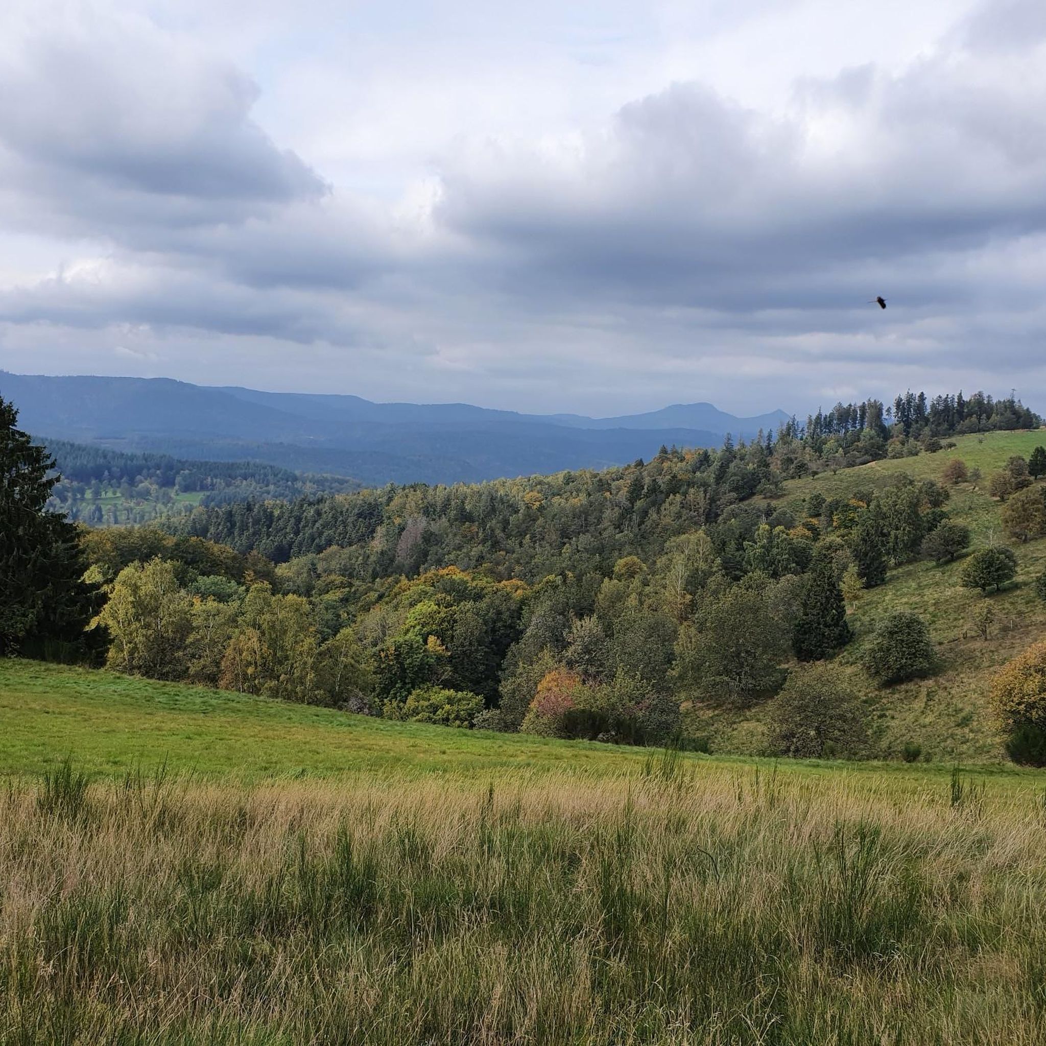
The Col de la Salcée from Bourg-Bruche is 3.3 km long with a total drop of 97 m. The average gradient is 2.9% with maximum gradients of 6.9%.
2
0
Frequently Asked Questions
What are some notable mountain passes around Kolrein?
The Kolrein region offers a variety of mountain passes. Champ du Feu is a popular summit and pass known for panoramic views and dense forests. Other significant passes include Col de Steige, which features a scenic location and a small lake, and Kreuzweg Pass, offering beautiful forest views.
What kind of terrain and elevation can I expect on mountain passes in Kolrein?
The mountain passes around Kolrein present diverse terrain. You'll find routes with gentle gradients, such as Col de Steige with an average gradient of 2.57%, as well as steeper climbs. For instance, Kreuzweg Pass has maximum gradients of 12% over its 13 km length, with a total drop of 548 m.
Are there family-friendly mountain passes in the Kolrein region?
Yes, some areas around Kolrein's mountain passes are suitable for families. For example, Charbonnière Pass is listed as family-friendly and offers facilities like a restaurant. Generally, passes with less extreme gradients and nearby amenities tend to be more suitable for family outings.
Can I find facilities like pubs or cafes near the mountain passes?
Yes, several mountain passes in the Kolrein region offer facilities. Charbonnière Pass, for instance, has an auberge with a frequently open restaurant. You can often find pubs and cafes along various routes, providing convenient stops for refreshments.
What outdoor activities can I do near Kolrein's mountain passes?
The Kolrein region is excellent for outdoor activities. You can enjoy extensive road cycling routes, including loops like the 'Urbeis Pass – Col de Steige loop' or the 'Charbonnière Pass – Col de Steige loop'. Hiking is also popular, with trails such as the 'Forest Trail – Viewpoint over Colroy-la-Roche loop'. For more details, explore the Road Cycling Routes around Kolrein, Hiking around Kolrein, and Cycling around Kolrein guides.
What natural features or viewpoints can I discover on Kolrein's mountain passes?
Kolrein's mountain passes are rich in natural features and viewpoints. Champ du Feu offers stunning panoramic views and dense forests, complete with a lookout tower built in 1898. Col de Steige is known for its scenic location and a small nearby lake, while Kreuzweg Pass provides beautiful views through its forested sections.
Is there public transport or parking available for accessing the passes?
While specific public transport details for each pass are not provided, many mountain passes in the Kolrein region are accessible by car, with parking often available at key points or nearby villages. It's advisable to check local information for specific passes like Champ du Feu for detailed access and parking options.
When is the best time of year to visit Kolrein's mountain passes?
The mountain passes around Kolrein are generally best visited during the warmer months, from spring to autumn, for hiking and cycling. During these seasons, the weather is more favorable, and trails are clear. Winter conditions can bring snow and ice, making some passes suitable for winter sports like skiing, but challenging for other activities.
Are dogs allowed on the mountain passes and trails in Kolrein?
While specific regulations for dog access vary, many outdoor areas in the Kolrein region are generally dog-friendly. It's always recommended to keep dogs on a leash, especially in areas with wildlife or livestock, and to clean up after them. Check local signage for any specific restrictions on individual passes or trails.
What do visitors enjoy most about the mountain passes around Kolrein?
Visitors frequently praise the diverse landscape, from dense forests to panoramic viewpoints. The variety of terrain caters to different skill levels, making it appealing for both casual outings and more challenging pursuits. The presence of facilities like pubs and restaurants along routes also enhances the experience, as noted by the komoot community, which has contributed over 120 photos and more than 300 upvotes for the region's passes.
Are there any permits required for hiking or cycling on Kolrein's mountain passes?
Generally, permits are not required for hiking or cycling on the mountain passes and trails in the Kolrein region for recreational purposes. However, it's always good practice to respect local regulations, especially concerning protected areas or private land. For specific events or organized activities, separate permits might be necessary.
How long does it typically take to traverse Kolrein's mountain passes?
The time it takes to traverse a mountain pass in Kolrein varies greatly depending on the pass's length, gradient, and your chosen activity. For example, Col de Steige is 9.7 km long from Saint Martin, while Kreuzweg Pass spans 13 km. Shorter passes like Salcée Pass (3.3 km) can be quicker transitions between other routes.
Most popular routes around Kolrein
Most popular attractions around Kolrein

Get inspired with the komoot mobile app


Explore more
See even more epic mountain passes by checking out these guides around Kolrein:
