Top 8 Mountain Passes around Bliensbach
Mountain passes around Bliensbach are not found in the traditional sense within its immediate vicinity. Bliensbach, located in Germany, features a landscape of rolling hills, green forests, and riverine environments, with an elevation of approximately 436 meters. While the local area offers scenic routes and elevated points for hiking and cycling, prominent mountain passes are not characteristic of this region. This guide, however, compiles a selection of passes that offer varied experiences for those seeking climbs and descents.
Top mountain…
Last updated: June 26, 2026
Champ du Feu
Highlight • Summit
Translated by Google •
Tip by

Champ du Feu Monoliths
Highlight • Natural Monument
Translated by Google •
Tip by

Sign up now to discover places like this
Get recommendations on the best single tracks, peaks, & plenty of other exciting outdoor places.
Sign up for free
Charbonnière Pass
Highlight • Pub
Translated by Google •
Tip by

Kreuzweg Pass
Highlight • Mountain Pass
Translated by Google •
Tip by
Col de Steige
Highlight • Mountain Pass
Translated by Google •
Tip by
Sign up for free to discover even more mountain passes around Bliensbach.
Sign up for free
Already have an account?
Start today with a free account
Your next adventure awaits.
Login or Signup

Tips from the Community

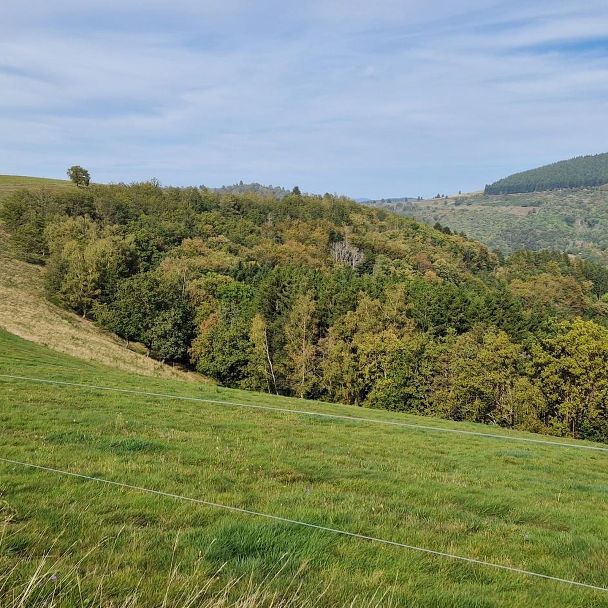
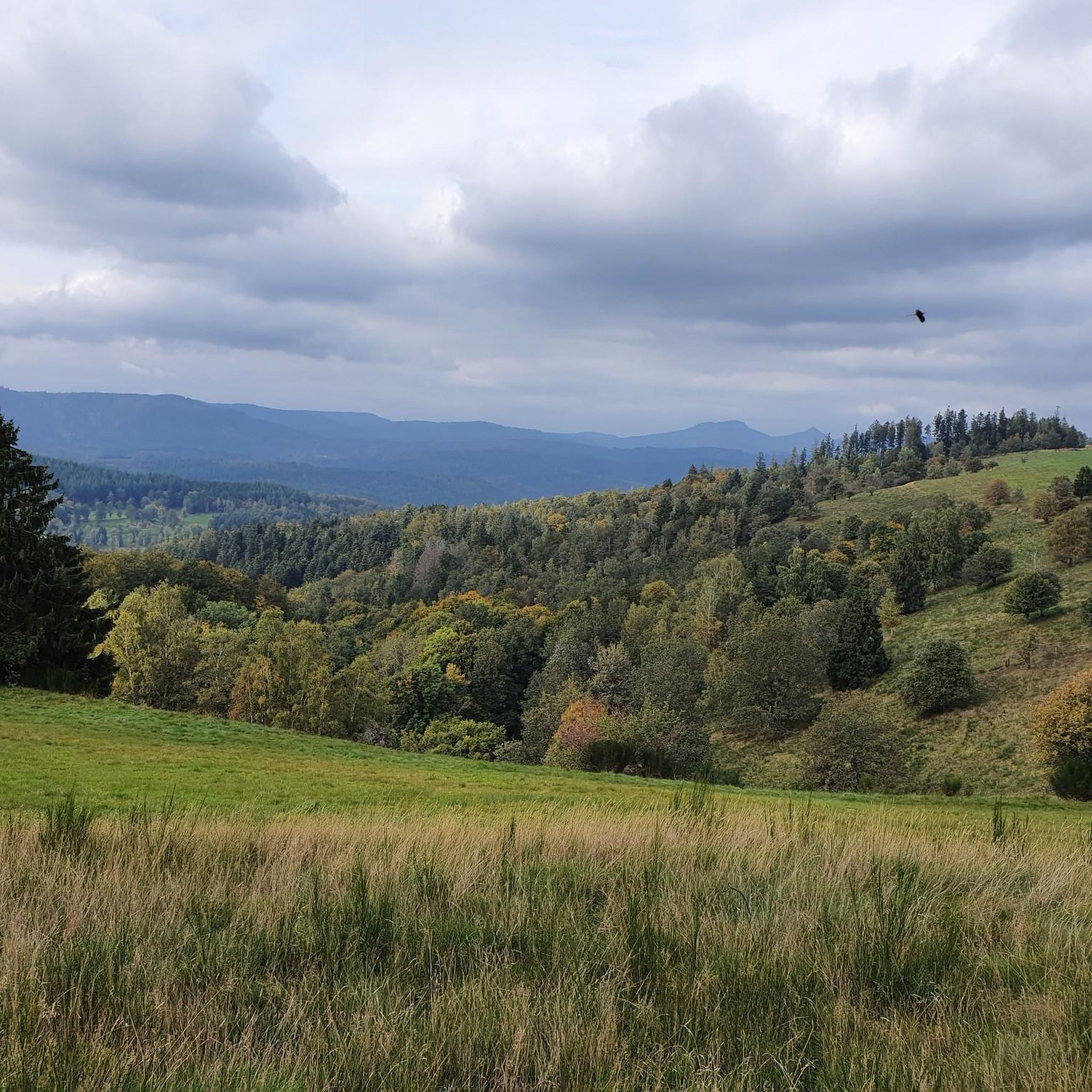
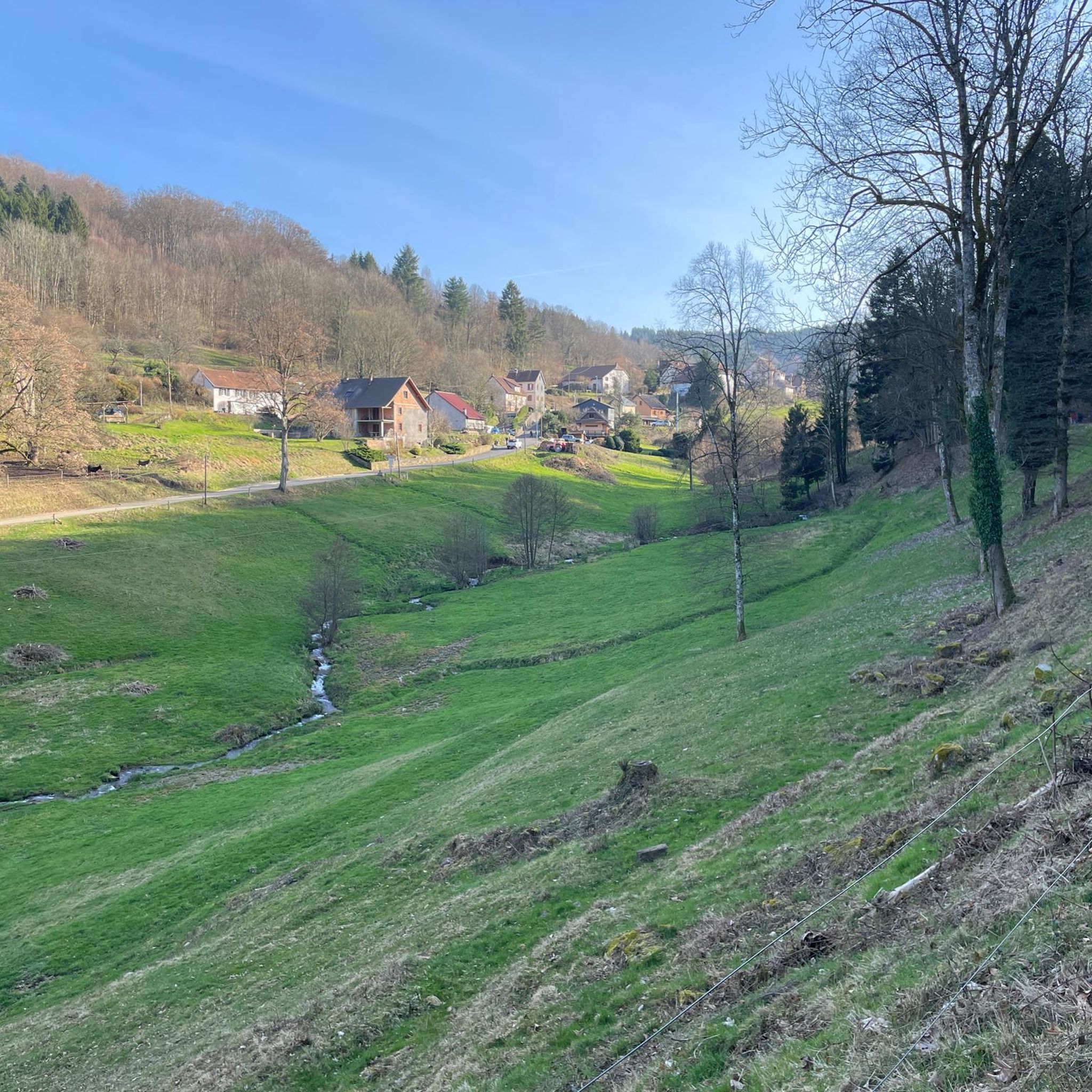
Champ du Feu, at 1099 meters, is the highest mountain in the Bas-Rhin department of the Vosges in Alsace. It is located between the villages of Belmont and Le Hohwald and consists of an extensive high plateau with forests, meadows, and moorlands. The area is a popular nature and recreational area. In summer, it is mainly used for hiking, mountain biking, and nature observation. In winter, there is a small ski resort with cross-country trails and simple slopes for winter sports. The stream La Serva originates from Champ du Feu and later forms the Cascade de la Serva. In clear weather, the summit offers wide views over the Vosges, the Rhine plain, and as far as the Black Forest. The area is particularly known for its tranquil nature, high moors, sunrises and starry skies, as well as well-marked hiking trails.
0
0


Possible origins of the name: Celtic rituals: It is believed that solstice and sacrificial fires were lit here in Celtic times. Charcoal burners' fire: The "fire" could also refer to the fires lit by charcoal burners in the surrounding forests of the Vosges Mountains. Cattle pasture: A popular theory states that the French word "feu" is a corruption of the German word "Vieh," meaning "field of cattle," as it was a sparsely wooded plateau where cattle could graze. Text from the Internet
1
0

Magnificent pass to climb from different slopes (Breitenbach, Steige, Vallée de la Bruche, Andlau). It is also a crossing point towards the Champ du feu, the Hohwald, the Mont Ste Odile.
0
0

Pass culminating at 960 m altitude.
0
0

If you come from the Col de la Charbonnière, it is only a few meters uphill again and then you have already reached the top of the pass.
1
0

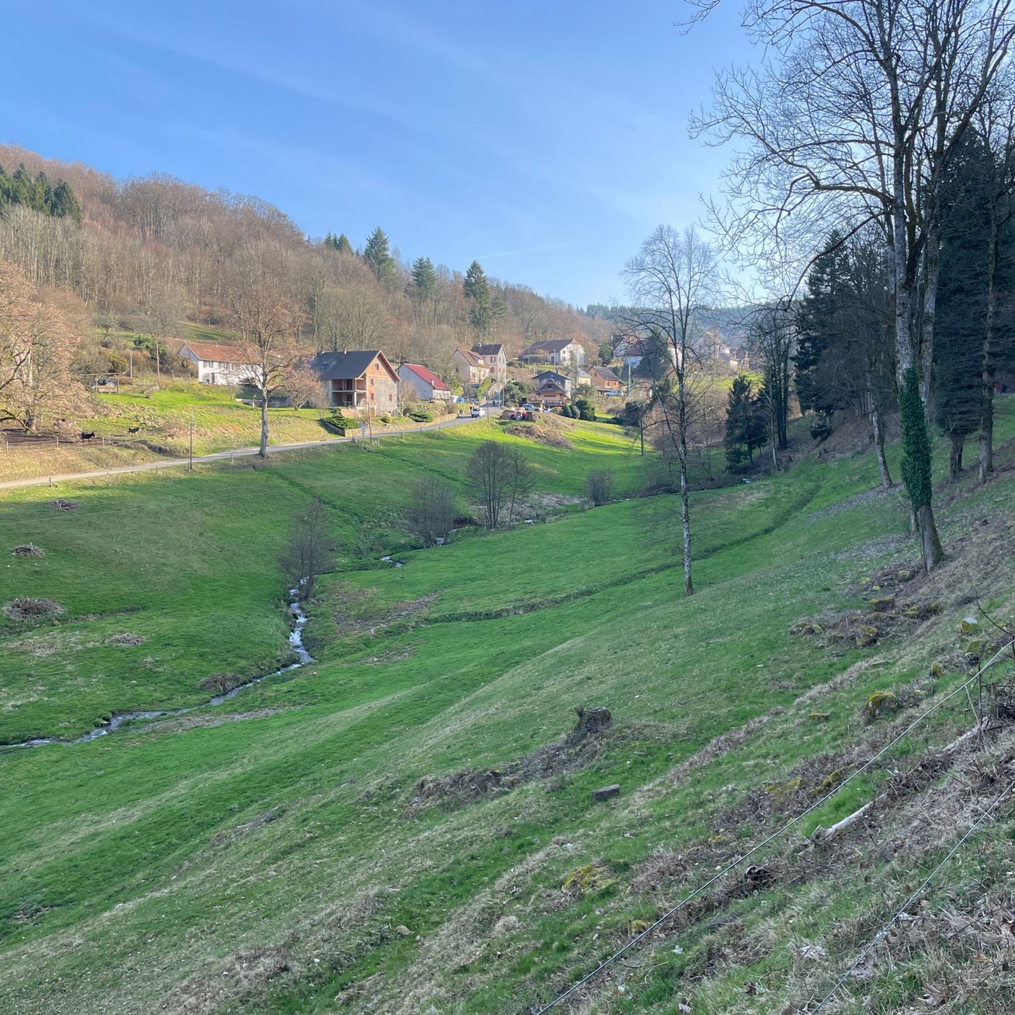
Halfway between the charming hamlet of Hohwald and the Champ du Feu station, the Kreuzweg pass offers a pleasant stopover. In the middle of the imposing forest of the massif, it offers unobstructed views at an altitude of 768 meters. It is a good place to spend the night in the mountains with the presence of two farm inns. There is also an adventure park for the enjoyment of young people.
0
0

Today the restaurant was completely full at 1 p.m. You should probably make a reservation here. TEL: +33 3 88 08 31 17
2
0
Frequently Asked Questions
Why does this guide feature mountain passes if Bliensbach is not a mountainous region?
Bliensbach itself is characterized by rolling hills and riverine environments, not traditional high-altitude mountain passes. This guide, however, compiles a selection of passes that offer varied experiences with climbs and descents in the broader region, providing options for those seeking such routes within a reasonable distance.
What types of mountain passes are featured in this guide?
This guide includes a variety of passes, from summits offering panoramic views like Champ du Feu, to intermediate passes with facilities such as Charbonnière Pass, and passes with dense forest settings and viewpoints like Kreuzweg Pass. They cater to different preferences for cycling and hiking.
Are there family-friendly options among the featured mountain passes?
Yes, Charbonnière Pass is noted as family-friendly, offering facilities including a pub and restaurant, making it a comfortable stop for families.
What natural features can I expect to see around these mountain passes?
Many of the passes are set amidst dense forests and offer stunning panoramic views. For instance, Champ du Feu is known for its scenic mountainous region, dense forests, and panoramic vistas. The broader region around Bliensbach also features green forests, river valleys, and well-developed hiking trails leading to viewpoints.
What are the best times to visit the mountain passes featured in this guide?
The best time to visit these passes for cycling and hiking is generally during the warmer months, from late spring through early autumn, when the weather is mild and trails are clear. This allows for optimal enjoyment of the panoramic views and outdoor activities.
What outdoor activities can I do near these mountain passes?
Beyond traversing the passes themselves, the region offers extensive opportunities for outdoor activities. You can find numerous routes for hiking, cycling, and mountain biking. Many routes are circular, offering diverse experiences through forests and scenic landscapes.
Are there challenging routes for experienced cyclists or hikers?
Yes, some passes offer challenging gradients. For example, Kreuzweg Pass has an average gradient of 4.2% with maximum gradients of 12% over its 13 km length. For cycling, routes like the 'Col de Steige – View of Steige loop' are rated as difficult.
Where can I find refreshments or accommodation near the passes?
Some passes, like Charbonnière Pass, feature facilities such as a pub and restaurant. The Auberge at Charbonnière Pass is known for its good restaurant, though reservations might be needed during peak times.
What do visitors enjoy most about the mountain passes in this guide?
Visitors frequently praise the stunning panoramic views, the dense forests, and the opportunities for cycling and enjoying nature. The lookout tower at Champ du Feu is a particular highlight, offering rewarding vistas after a climb. The variety of routes and the scenic beauty are highly appreciated.
Are there less crowded mountain passes or routes available?
For those seeking quieter routes, Col de Steige is noted for having less traffic. Additionally, smaller passes like Salcée Pass offer transitions between other passes and can be less frequented, providing a more serene experience.
Can I find routes with moderate elevation gains suitable for beginners?
While some passes offer challenging climbs, the broader region around Bliensbach, including the Augsburg - Western Forests Nature Park, provides numerous well-developed hiking trails ranging from easy walks to longer excursions with moderate elevation gains. For cycling, paths along the Danube River offer gentle stretches and undulating terrain.
Most popular routes around Bliensbach
Most popular attractions around Bliensbach

Get inspired with the komoot mobile app


Explore more
See even more epic mountain passes by checking out these guides around Bliensbach:
